The best road cycling routes around Saint-Jean-Bonnefonds
4.4
(464)
10,672
riders
297
rides
Road cycling around Saint-Jean-Bonnefonds offers diverse terrain within the Loire department of the Auvergne-Rhône-Alpes region. The commune features varied topography, with elevations ranging from 418 to 663 meters, providing engaging ascents and descents. A significant forest environment on its eastern slopes, including areas like Bois du Baron, creates scenic routes. The region is also situated on the water divide between the Rhône and Loire river basins, contributing to its distinct hydrological landscapes.
Best road cycling routes around Saint-Jean-Bonnefonds
- The most…
Last updated: July 11, 2026
4.5
(26)
358
riders
51.6km
02:54
1,110m
1,110m
Hard road ride. Very good fitness required. Mostly well-paved surfaces and easy to ride.
4.8
(9)
130
riders
57.9km
02:56
1,000m
1,000m
Hard road ride. Very good fitness required. Mostly well-paved surfaces and easy to ride.

Sign up for free
3.7
(3)
116
riders
31.0km
01:32
490m
490m
Moderate road ride. Good fitness required. Mostly well-paved surfaces and easy to ride.
4.8
(6)
121
riders
55.7km
02:40
770m
770m
Moderate road ride. Good fitness required. Mostly well-paved surfaces and easy to ride.
4.8
(12)
107
riders
Moderate road ride. Good fitness required. Some segments of this route may be unpaved and difficult to ride.
Get access to more routes and recommendations from other explorers.
Sign up for free
Already have an account?
Our route recommendations are based on thousands of hikes, rides, and runs completed by other people on komoot.
Start today with a free account
Your next adventure awaits.
Login or Signup
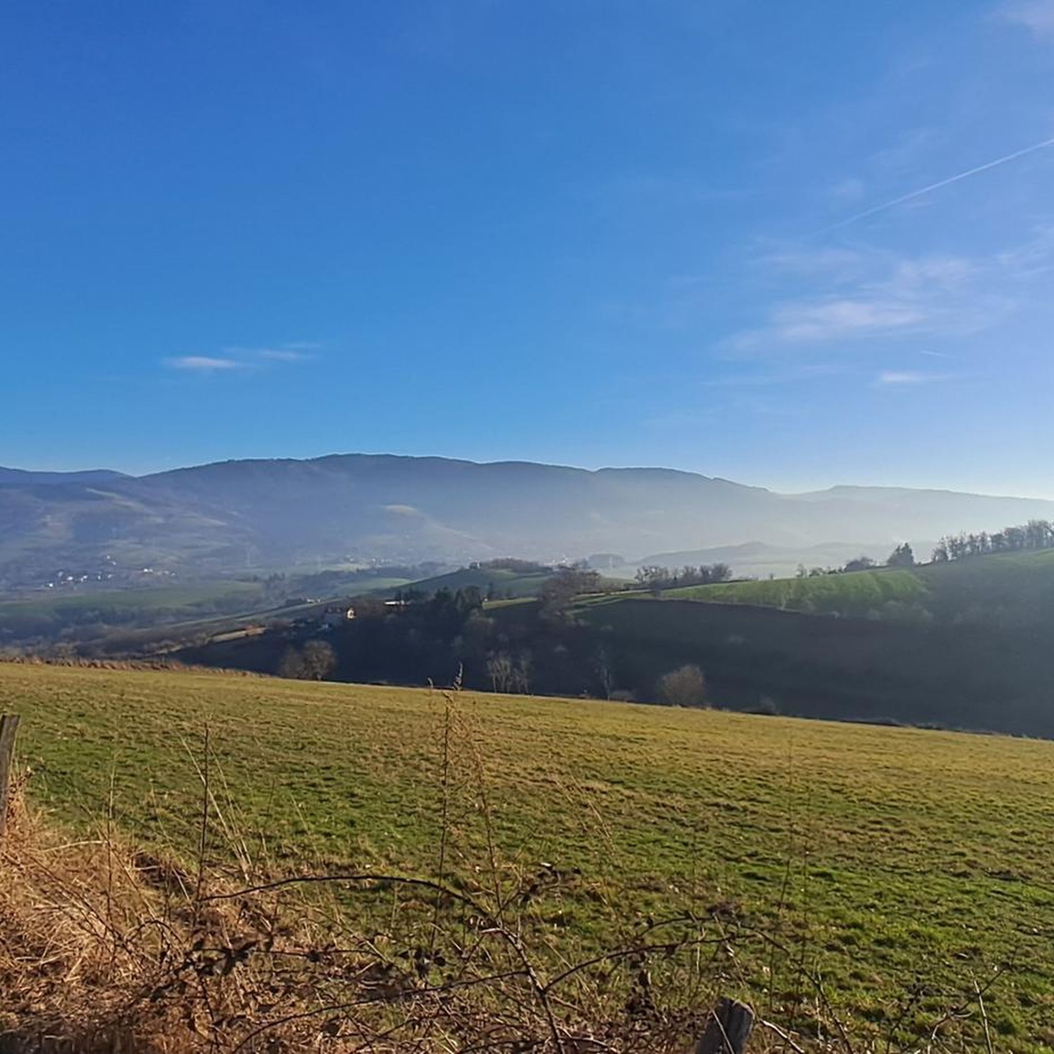
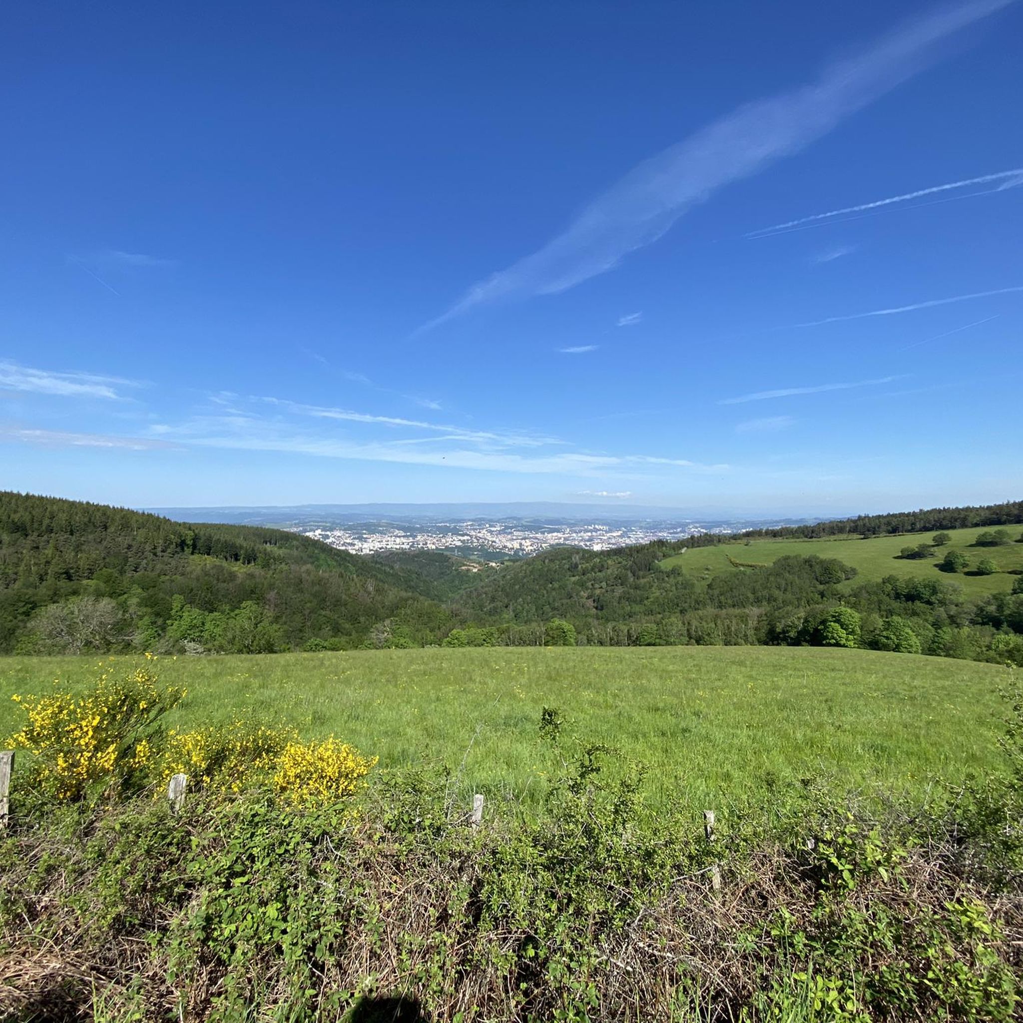
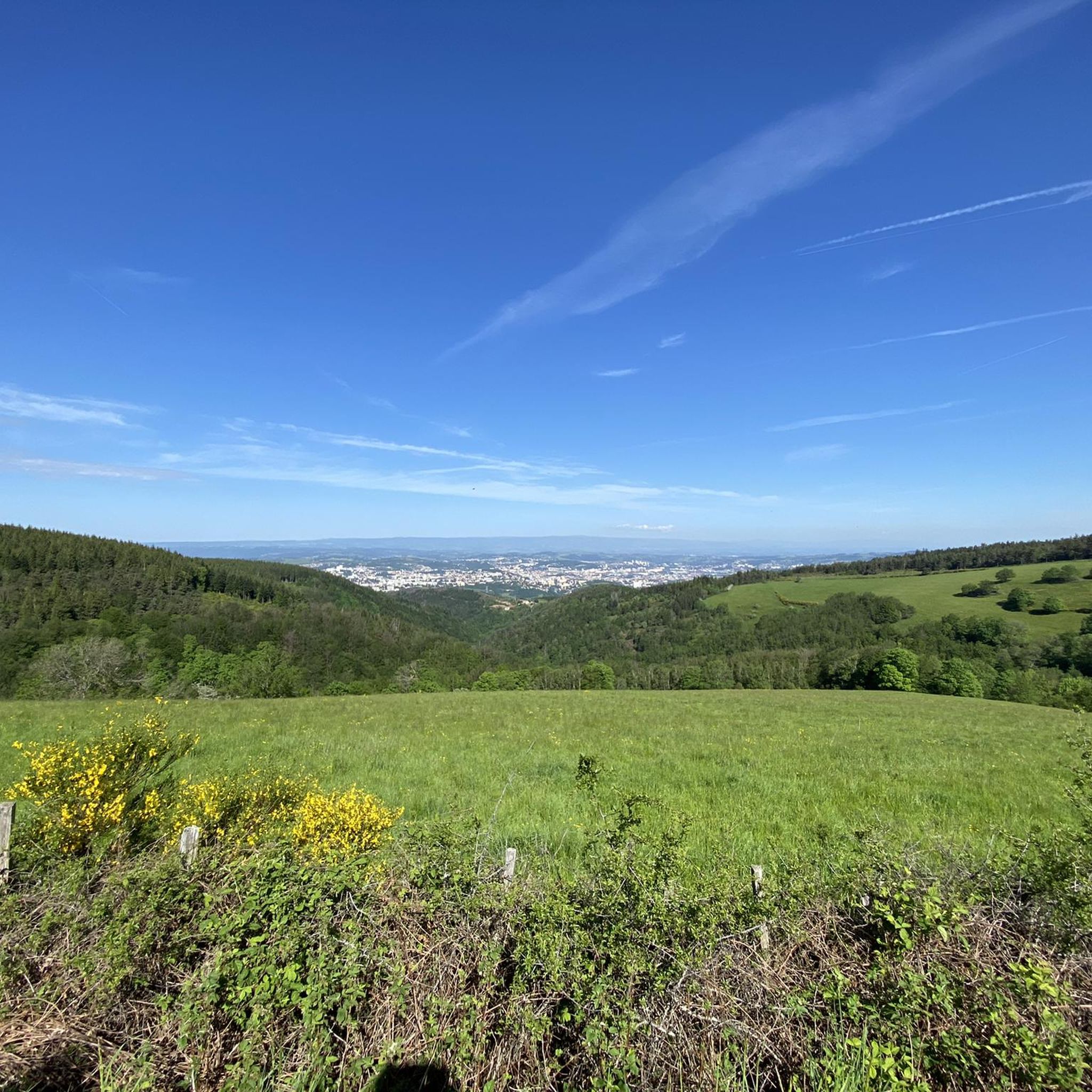
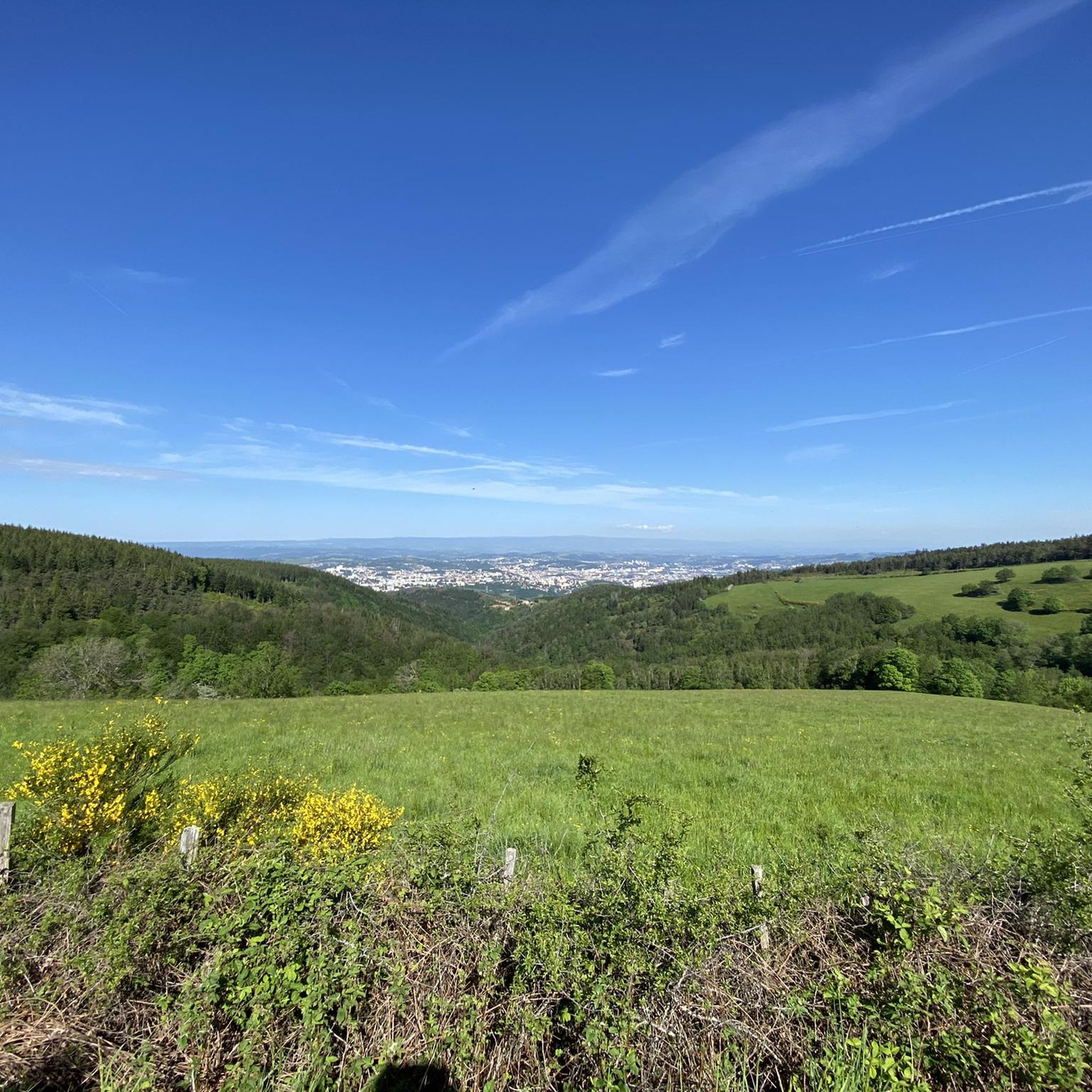

Tips from the Community

The Col de Pavezin is certainly not the highest, but it is no less mythical. The inventor of the derailleur, Paul de Vivié, who settled here, made it an unmissable rendezvous. The pass is located between the Rhône valley and the Gier valley, and opens up a grandiose panorama of the Alps and the Rhône furrow.
0
0

Very nice climb from Sainte-Croix-en-Jarez for example!
0
0

on the watershed between the ocean and the Mediterranean
0
0
magnificent with a small, rather steep passage (good shoes recommended)
0
0

THE crossroads of all the walks in the area, with the little refreshing break at the inn, it's perfect (change of owner in progress, for the moment it is closed)
0
0

Here, too, you can play the piano (which actually quite a lot of people can) and seating areas invite you to linger.
0
0
You can also play the piano in this station and seating areas invite you to linger.
1
0
Frequently Asked Questions
How many road cycling routes are available around Saint-Jean-Bonnefonds?
There are over 290 road cycling routes around Saint-Jean-Bonnefonds, offering a wide variety of options for all skill levels. These include 11 easy routes, 131 moderate routes, and 157 difficult routes.
What kind of terrain can I expect on road cycling routes in Saint-Jean-Bonnefonds?
The region features diverse topography, with elevations ranging from 418 to 663 meters. This means you can expect a dynamic landscape with engaging ascents and descents. Many routes also pass through significant forest environments, offering scenic and sometimes shaded paths.
Are there challenging climbs for experienced road cyclists?
Yes, Saint-Jean-Bonnefonds offers routes with significant elevation gain for experienced cyclists. For example, the Chaubouret Cross – Rochetaillée Castle loop from Saint-Étienne Châteaucreux is a difficult 53 km route with over 1100 meters of climbing. Another challenging option is the Sainte Catherine – Col de la Gachet loop from Sorbiers, which covers nearly 58 km with over 1000 meters of ascent.
What are some popular routes that include notable landmarks or scenic points?
Many routes incorporate scenic points and landmarks. The Chaubouret Cross – Rochetaillée Castle loop passes by the historic Rochetaillée Castle. You can also find routes that lead to natural monuments like the Chaubouret Cross or offer views from the Crêt des 6 Soleils.
Are there any family-friendly road cycling options in the area?
While many road cycling routes involve varied terrain and elevation, there are 11 routes classified as 'easy' which might be more suitable for families or those seeking a less strenuous ride. These routes typically have gentler gradients and shorter distances, allowing for a more relaxed experience.
What is the best time of year to go road cycling in Saint-Jean-Bonnefonds?
The region is popular for cycling, particularly in September, suggesting pleasant weather conditions during late summer and early autumn. The preserved forest environments can also offer cooler, shaded paths, which might be desirable during warmer months.
Can I find routes that pass by lakes or waterfalls?
Yes, the area around Saint-Jean-Bonnefonds is rich in hydrological features. Some routes may pass near various dams and reservoirs such as the Cotatay Dam or the Gier Reservoir. You might also encounter natural highlights like the Saut du Gier Waterfall on certain routes.
Are there circular road cycling routes available?
Yes, many of the road cycling routes around Saint-Jean-Bonnefonds are designed as loops. Examples include the Col de la Gachet loop from Saint-Étienne Châteaucreux and the Col de la Gachet loop from La Talaudière, which are popular choices for their varied gradients and scenic views.
What do other cyclists say about road cycling in Saint-Jean-Bonnefonds?
The road cycling routes in Saint-Jean-Bonnefonds are highly rated by the komoot community, with an average score of 4.5 stars from over 400 reviews. More than 10,000 road cyclists have used komoot to explore the area, often praising its varied terrain and beautiful forest environments.
How long do road cycling routes typically take to complete?
Route durations vary significantly based on distance and difficulty. For instance, a moderate route like the Col de la Gachet loop from Saint-Étienne Châteaucreux (42.2 km) typically takes around 2 hours 2 minutes, while a more difficult and longer route such as the Chaubouret Cross – Rochetaillée Castle loop (53 km) can take nearly 3 hours.
Are there routes suitable for beginners or those looking for an easier ride?
Absolutely. While the region offers challenging climbs, there are 11 routes specifically categorized as 'easy'. These routes are generally shorter and have less demanding elevation profiles, making them ideal for beginners or those preferring a more relaxed pace.
What are the main geographical features that influence the cycling experience here?
Saint-Jean-Bonnefonds is situated on the water divide between the Rhône and Loire river basins, contributing to unique hydrological landscapes. Its varied topography, with elevations between 418 and 663 meters, ensures a mix of climbs and descents, while extensive forest environments, particularly on its eastern slopes, provide scenic backdrops.
Most popular routes around Saint-Jean-Bonnefonds
Most popular attractions around Saint-Jean-Bonnefonds

Get inspired with the komoot mobile app


Explore more
Browse the best Road cycling routes in other regions.
