The best running trails around Saint-Géry
4.7
(38)
1,634
runners
119
runs
Jogging around Saint-Géry offers an opportunity to explore the Lot department's diverse landscapes. The region is characterized by dramatic limestone cliffs, deep valleys carved by the Lot river, and karstic plateaus within the Causses du Quercy Regional Natural Park. An extensive network of trails provides varied terrain for running, from riverside paths to routes across dry, mineral plateaus. These running routes showcase the area's unique geological features and natural beauty.
Best jogging routes around Saint-Géry
- The most popular jogging route…
Last updated: October 11, 2026
5.0
(1)
62
runners
Moderate run. Good fitness required. Mostly paved surfaces. Suitable for all skill levels.
4.8
(4)
175
runners
10.0km
01:11
220m
220m
Hard run. Good fitness required. Sure-footedness, sturdy shoes and alpine experience required.

5.0
(1)
16
runners
16.8km
02:06
530m
530m
Hard run. Very good fitness required. Sure-footedness, sturdy shoes and alpine experience required.
10
runners
72.4km
09:00
1,770m
1,770m
Hard run. Very good fitness required. Sure-footedness, sturdy shoes and alpine experience required.
4
runners
13.4km
01:35
360m
360m
Hard run. Very good fitness required. Mostly paved surfaces. Suitable for all skill levels.
Get access to more routes and recommendations from other explorers.
Already have an account?
Our route recommendations are based on thousands of hikes, rides, and runs completed by other people on komoot.
Start today with a free account
Your next adventure awaits.
Tips from the Community

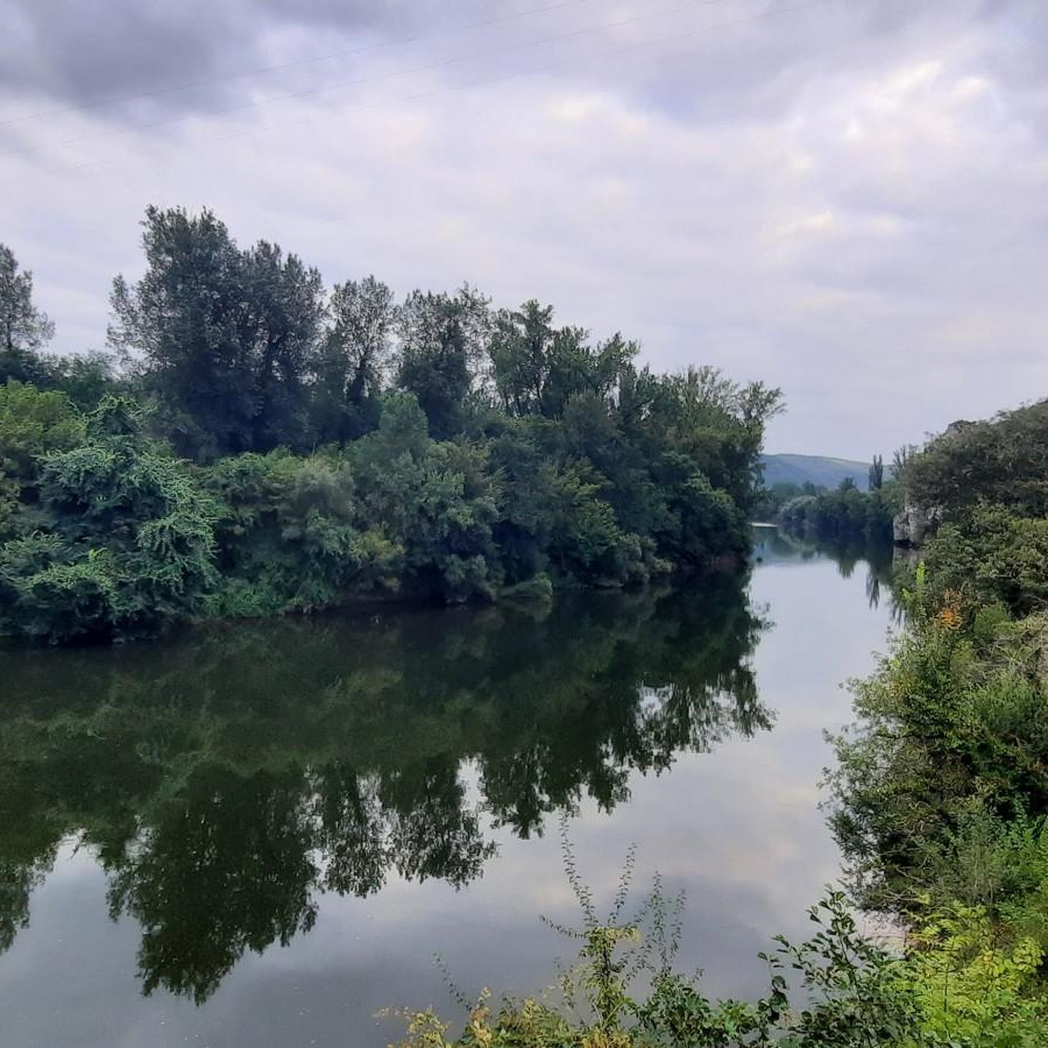
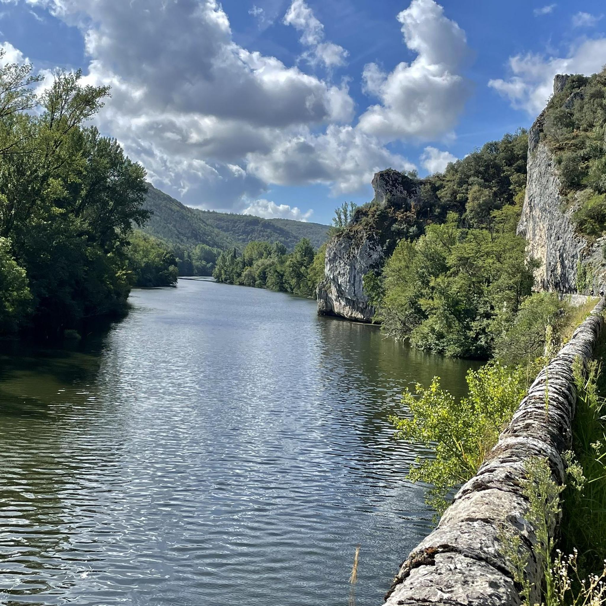
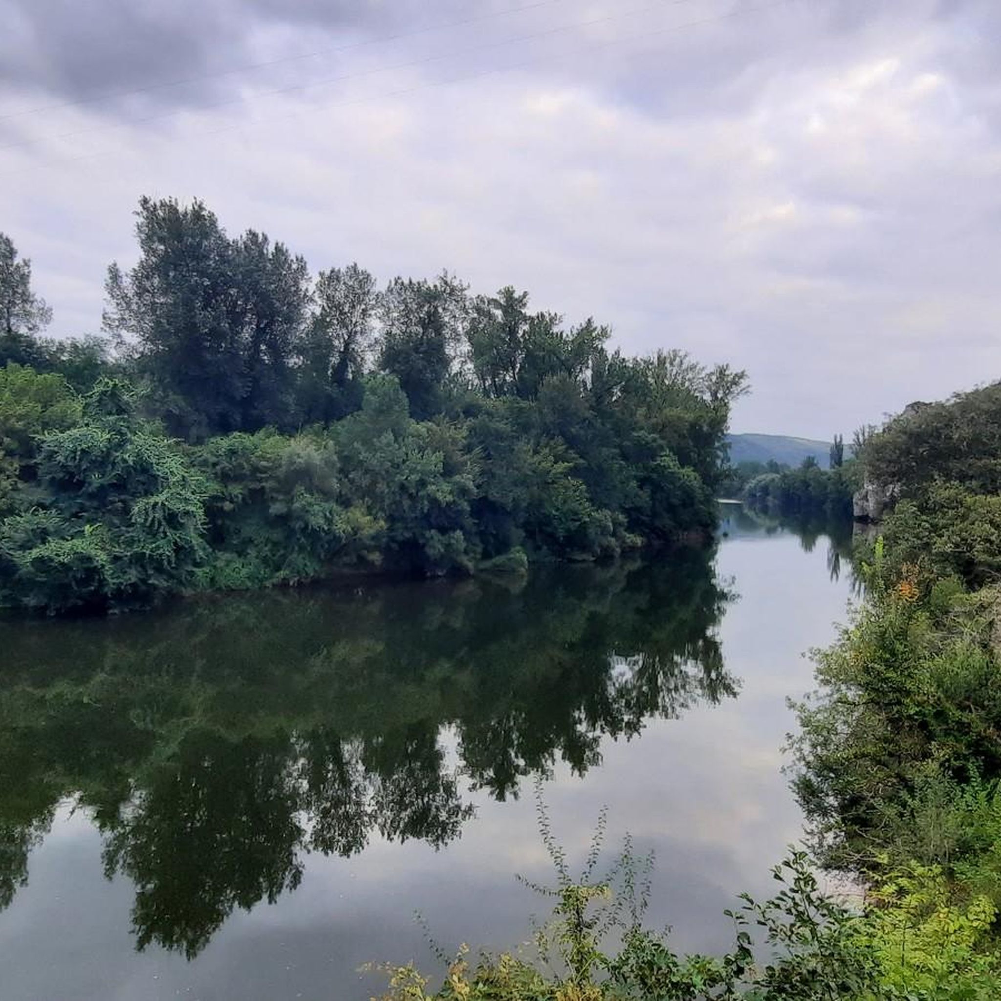
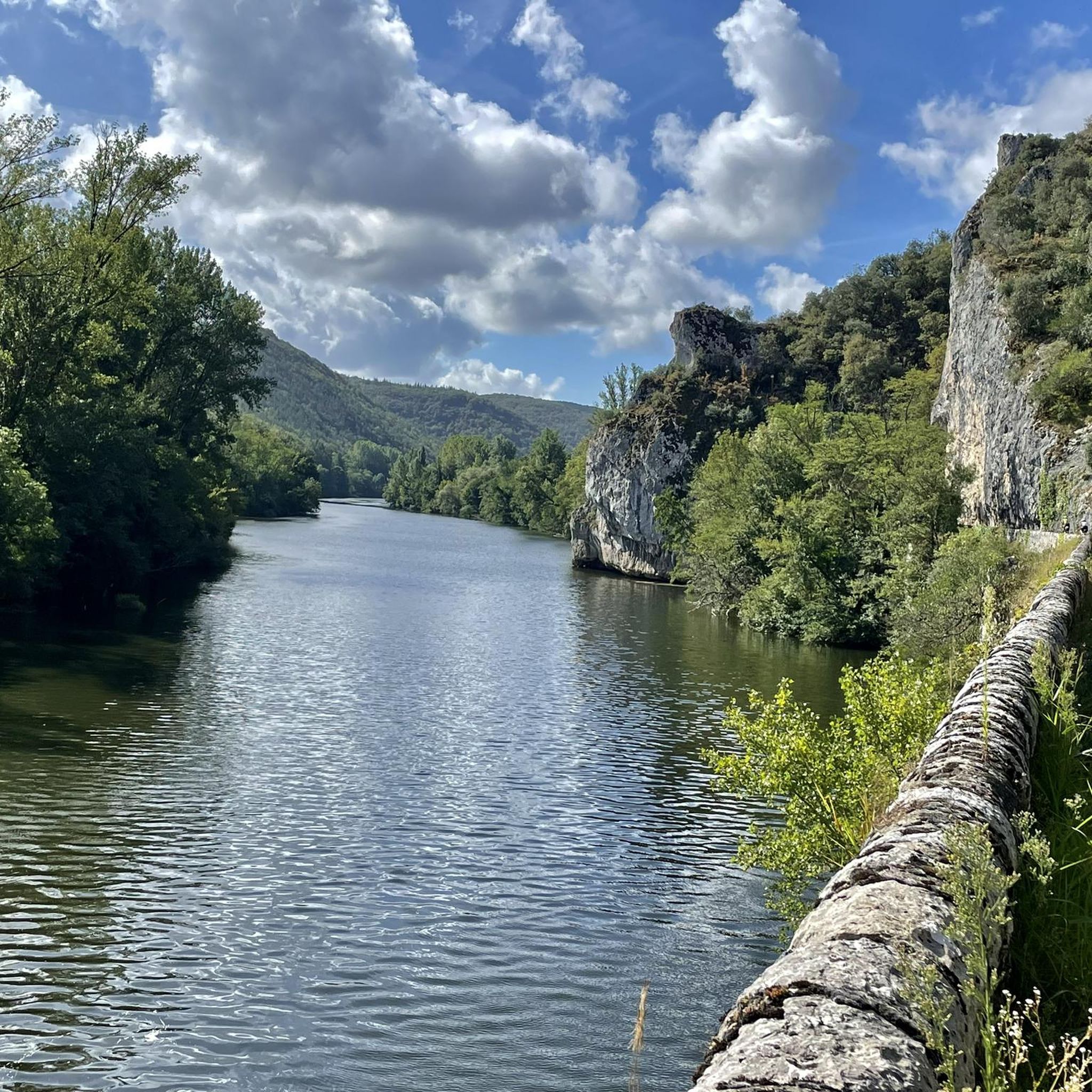
The magnificent corniche road overlooking the meanders of the river is located at the level of the spectacular Lot valley, particularly on the heights of the limestone plateaus and cliffs. In Saint-Cirq-Lapopie: The Lapopie rock and the Bancourel dovecote offer a spectacular 360-degree plunging view over the river.
0
0
In the Middle Ages, the village was a major stronghold in the Quercy region. The site was shared between three major noble dynasties (the Lapopie, the Gourdon, and the Cardaillac), each of whom owned their own castle at the top of the rock. The name comes from Saint Cyr (a young Christian martyr from the 4th century) and the noble Lapopie family, who gave their name to the steep rock (la popa meaning "the breast" in Occitan, evoking the shape of the cliff).
0
0
The magnificent cornice route overlooking the meanders of the river is located at the level of the spectacular Lot valley, particularly on the heights of the limestone causses and cliffs. In Saint-Cirq-Lapopie: The Lapopie rock and the Bancourel dovecote offer a spectacular 360-degree plunging view over the river.
0
0
The magnificent corniche road overlooking the meanders of the river is located in the spectacular Lot valley, particularly on the heights of the limestone causse and cliffs. In Saint-Cirq-Lapopie: The Lapopie rock and the Bancourel dovecote offer a spectacular 360-degree plunging view over the river.
0
0
The first bridge of Cabessut, called the "Pont Neuf", was built of stone in the 13th century by the consuls and clergy of the town. It originally had two defensive towers which were destroyed in 1816. The old stone bridge was demolished in the early 20th century (around 1906) to make way for a wider structure.
0
0
The Valentré Bridge is one of the few fortified medieval bridges in the world. Its Gothic military architecture makes it a masterpiece of defense and engineering. 1308: The start of construction: The decision to build the bridge was made by the consuls of Cahors to secure the western access to the city and adapt to the flourishing trade. 1308-1378: An endless construction site: The work lasted nearly 70 years, slowed down by the Black Death and the Hundred Years' War. It is from this legendary slowness that the famous legend of the Devil was born. 1879: The great restoration: Having become dilapidated, the bridge underwent a major restoration led by the architect Paul Gout (a student of Viollet-le-Duc). He chose to add the famous sculpture of the little devil on the central tower to immortalize the legend. 1998: Worldwide recognition: The bridge was inscribed on the UNESCO World Heritage list as part of the Routes of Santiago de Compostela.
0
0
An essential monument of the Occitanie region, it is distinguished by its large domes on pendentives, among the largest in France. The cathedral is doubly classified: as a Historic Monument in France and as a UNESCO World Heritage Site as part of the Routes of Santiago de Compostela.
0
0

Pleasant walking spot, although touristy
0
0
Frequently Asked Questions
How many running routes can I find around Saint-Géry?
Saint-Géry offers a wide selection of running routes, with over 115 trails available. These routes cater to various preferences, from riverside paths to more challenging ascents on the karstic plateaus.
What kind of terrain can I expect on the running trails in Saint-Géry?
The running trails in Saint-Géry feature diverse terrain, reflecting the region's unique geology. You'll encounter paths along the Lot river, routes across dry, mineral limestone plateaus (known as 'causses'), and trails that ascend dramatic cliffs, offering varied surfaces for your run.
Are there any scenic viewpoints or natural landmarks to discover while running near Saint-Géry?
Absolutely! Many running routes in Saint-Géry lead to breathtaking panoramic viewpoints over the Lot valley and its impressive limestone cliffs. You can also discover natural landmarks such as the Igue of Crégols, or run alongside the Cliffs Along the Lot River. The area is part of the Causses du Quercy Regional Natural Park, known for its unique geological features.
Are there any family-friendly running routes in Saint-Géry?
While specific 'family-friendly' designations aren't always explicit for running, many of the easier routes along the Lot river, such as those with less elevation gain, can be suitable for families. The shallow and clear Vers river, a tributary of the Lot, also offers safe spots for children to enjoy the water, which might be a pleasant addition to a family outing.
Can I bring my dog on the running trails around Saint-Géry?
Yes, many trails in the Causses du Quercy Regional Natural Park are dog-friendly. However, it's always recommended to keep your dog on a leash, especially in areas with wildlife or near agricultural land, to ensure their safety and respect for the local environment.
Are there circular running routes available in Saint-Géry?
Yes, Saint-Géry offers several excellent circular running routes. A popular option is the On the trails of André Breton — loop — running from Bouziès, which is a moderate 8.7 km trail exploring the natural park. Another great choice is the Cliffs Along the Lot River – Ganil towpath loop from Bouziès, a 10.2 km path offering river views.
What is the best time of year to go running in Saint-Géry?
The spring and autumn months are generally ideal for running in Saint-Géry, offering pleasant temperatures and vibrant natural scenery. Summers can be warm, making early morning or late evening runs preferable. The region's diverse flora, including wild orchids, is particularly beautiful in spring.
What do other runners enjoy most about jogging in Saint-Géry?
The running routes in Saint-Géry are highly rated by the komoot community, with an average score of 4.7 stars from over 20 reviews. Runners often praise the stunning natural beauty, the varied terrain, and the opportunity to explore the unique landscapes of the Causses du Quercy Regional Natural Park, including its dramatic cliffs and river valleys.
Are there any historical or cultural points of interest along the running trails?
Yes, the region is rich in history. While running, you might encounter sights like the English Castle of Bouziès or the charming village of Saint-Cirq-Lapopie, which is often accessible via trails. The area's history is also reflected in its old water mills along the Vers river.
How can I access the running routes in Saint-Géry by public transport?
While Saint-Géry is a rural area, public transport options might be limited. It's advisable to check local bus schedules or consider driving to a starting point. Some routes, like those starting from Bouziès, may be more accessible depending on local services. For detailed information, it's best to consult local transport authorities or tourist information centers.
Are there any easy running routes suitable for beginners in Saint-Géry?
Yes, Saint-Géry offers several easier running routes, particularly those that follow the Lot river. These paths typically have less elevation gain and provide a gentler introduction to running in the area. You can find 7 easy routes listed on komoot, perfect for beginners or those looking for a relaxed run.
Where can I find parking for the running trails in Saint-Géry?
Parking is generally available in the villages and towns that serve as starting points for the trails, such as Saint-Géry itself or nearby Bouziès. Look for designated parking areas, often near trailheads or village centers. It's always a good idea to check specific route descriptions for recommended parking locations.
Most popular routes around Saint-Géry
Most popular attractions around Saint-Géry

Get inspired with the komoot mobile app


Explore more
Browse the best Running Trails & Routes in other regions.
