The best walks and hikes around Saint-Géry
4.5
(1318)
7,708
hikers
12
hikes
Hiking around Saint-Géry offers diverse landscapes for outdoor enthusiasts in the Lot department of France. The region is characterized by the Lot River and its valleys, featuring dramatic cliffs and winding paths. Trails often traverse parts of the Causses du Quercy Regional Natural Park, showcasing unique geological formations and extensive woodlands. The area provides a variety of hiking terrain, from riverside paths to routes with significant elevation gain.
Best hiking trails around Saint-Géry
- The most popular hiking route is Abandoned…
Last updated: October 11, 2026
4.4
(31)
213
hikers
29.7km
08:39
750m
750m
Hard hike. Very good fitness required. Mostly accessible paths. Sure-footedness required.
4.8
(14)
85
hikers
28.0km
08:14
750m
750m
Hard hike. Very good fitness required. Easily-accessible paths. Suitable for all skill levels.

4.6
(15)
74
hikers
29.0km
08:45
800m
800m
Hard hike. Very good fitness required. Mostly accessible paths. Sure-footedness required.
4.8
(5)
67
hikers
20.5km
05:50
450m
450m
Hard hike. Very good fitness required. Easily-accessible paths. Suitable for all skill levels.
5.0
(2)
10
hikers
23.8km
07:01
660m
660m
Hard hike. Very good fitness required. Easily-accessible paths. Suitable for all skill levels.
Get access to more routes and recommendations from other explorers.
Already have an account?
Our route recommendations are based on thousands of hikes, rides, and runs completed by other people on komoot.
Start today with a free account
Your next adventure awaits.
Tips from the Community

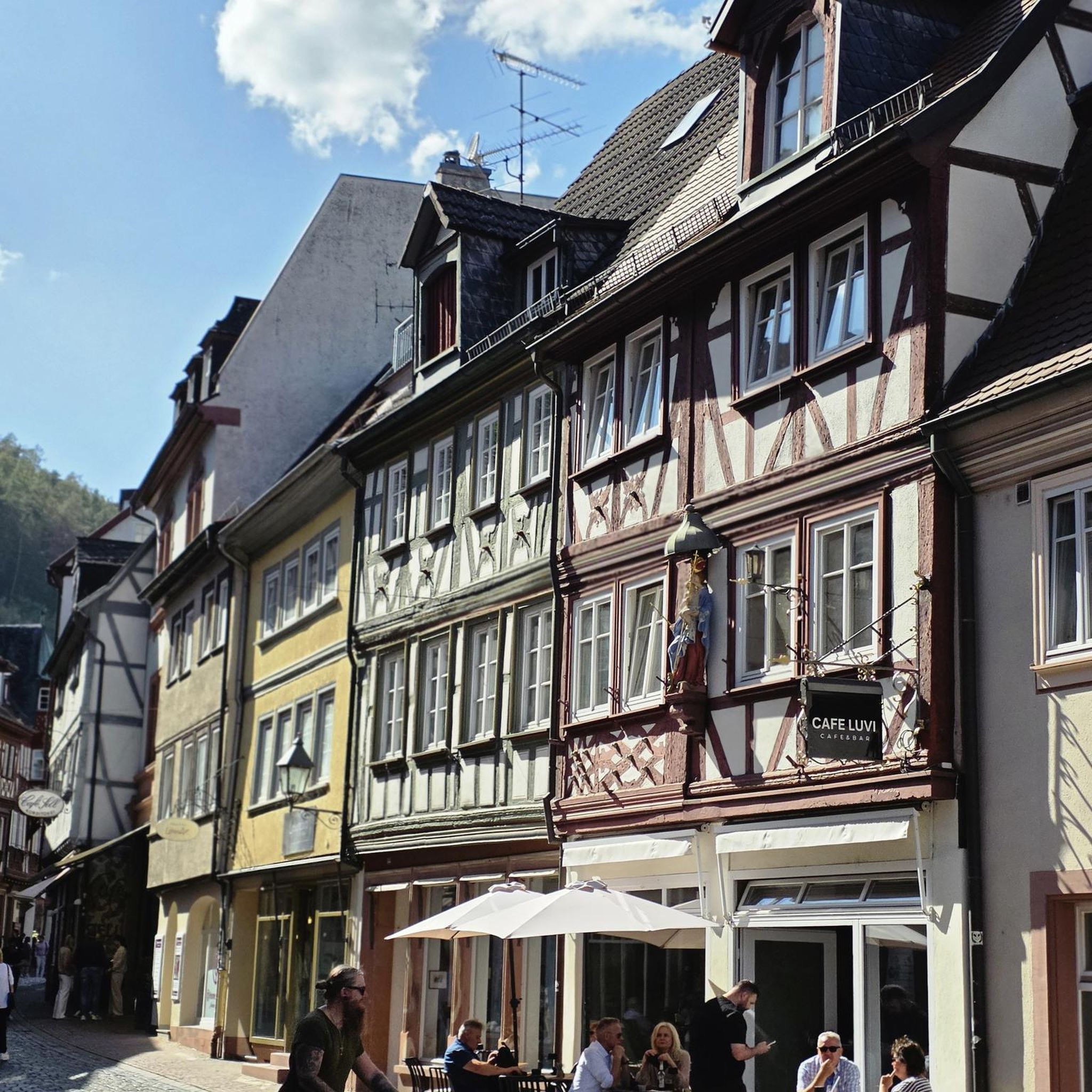
This historic and narrow alley runs along the back of the village theatre and houses, among other things: La Maison de la Fourdonne: a remarkable medieval dwelling serving as a cultural space and recounting the history of the village.
0
0
In the Middle Ages, the village was a major stronghold in the Quercy region. The site was shared between three major feudal dynasties (the Lapopie, the Gourdon, and the Cardaillac), each of whom owned their own castle at the top of the rock. The name comes from Saint Cyr (a young Christian martyr from the 4th century) and the feudal family of Lapopie, who gave their name to the steep rock (la popa meaning "the breast" in Occitan, evoking the shape of the cliff).
0
0
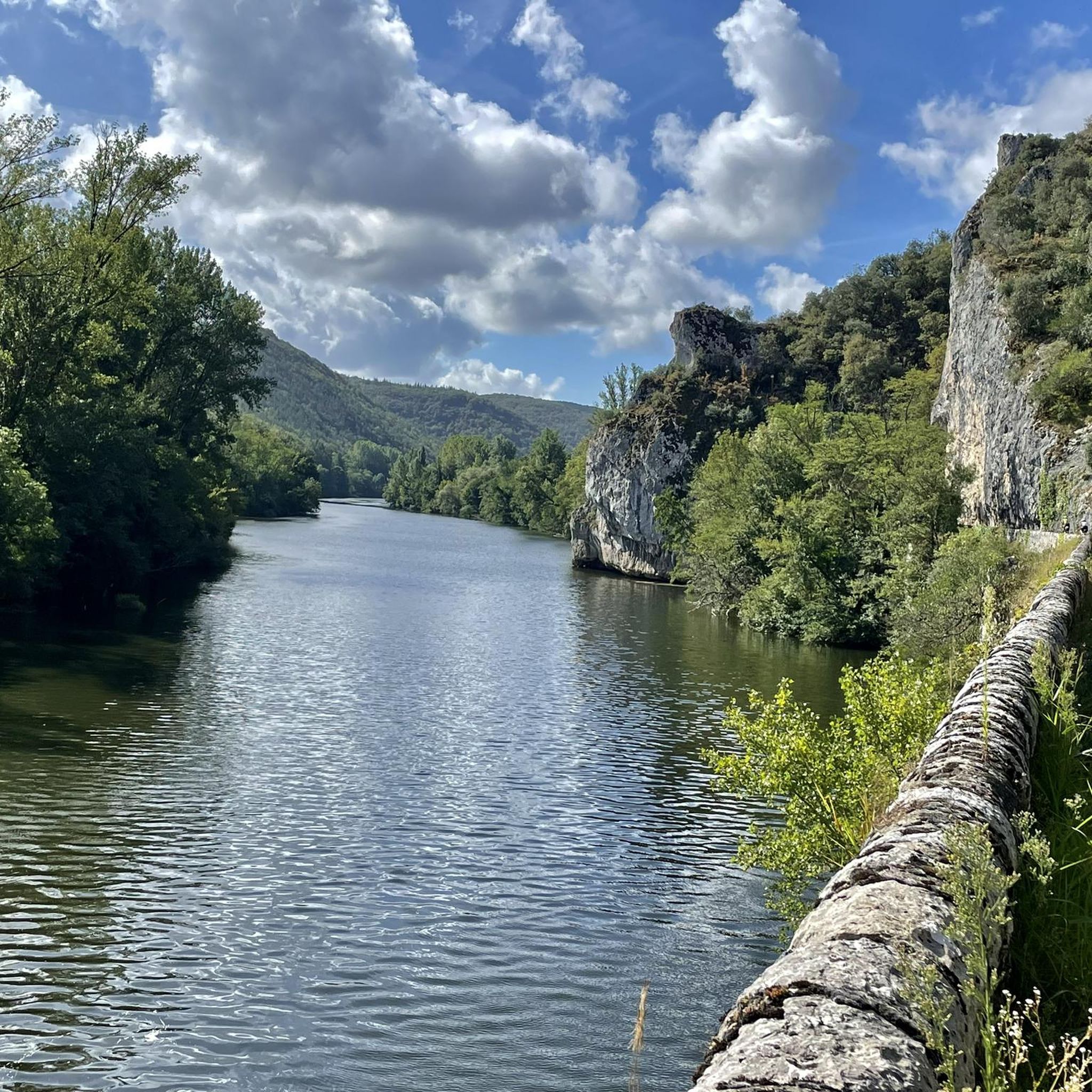
The Ganil towpath: Carved directly into the limestone cliff rock in 1845, it once allowed horses to tow barges up the Lot river. Between 1985 and 1989, the artist Daniel Monnier sculpted an impressive bas-relief there, depicting local fauna and flora. The path connects Bouziès to Saint-Cirq-Lapopie over approximately 4 to 5 km of easy walking.
0
0
The Ganil towpath: Carved into the limestone cliff face in 1845, it once allowed horses to tow barges up the Lot. Between 1985 and 1989, artist Daniel Monnier sculpted an impressive bas-relief here depicting local fauna and flora. The path connects Bouziès to Saint-Cirq-Lapopie over about 4 to 5 km of easy walking.
0
0
In the heart of the Causses du Quercy Regional Natural Park. Located at the confluence of the Lot and Célé valleys, the village of Bouziès, with around 90 inhabitants, is world-renowned for its spectacular natural and historical heritage. The Château des Anglais: Fortifications from the 11th and 12th centuries anchored directly into the vertical cliff face overlooking the road and the river. This site once served as a fortified refuge for the inhabitants during conflicts.
0
0
In the heart of the Causses du Quercy Regional Natural Park. Located at the confluence of the Lot and Célé valleys, the village of Bouziès, with around 90 inhabitants, is world-renowned for its spectacular natural and historical heritage. The English Castle: Fortifications from the 11th and 12th centuries anchored directly into the vertical cliff face overlooking the road and the river. This site once served as a fortified refuge for the inhabitants during conflicts.
0
0
Like most wayside crosses, this building testifies to the rural and religious heritage of the region, historically serving as a guide for travelers, protection against the unknown at crossroads, and a place for contemplation. In the Lot department and more broadly on the Quercy causse (where the Croix de chemin de Guillaumot is located), a stone shelter refers to a gariotte (or a borie). These small dry stone huts (built without mortar or binder) are an integral part of the local rural heritage.
0
0

There is a small shop where you can get wonderful local nut specialties. Very nice staff.
0
0
Frequently Asked Questions
How many hiking trails are there in Saint-Géry?
Saint-Géry offers a network of over 10 hiking routes. These trails cater to various preferences, with options ranging from easy strolls to more challenging, difficult routes.
What are the difficulty levels of hikes around Saint-Géry?
The hiking trails around Saint-Géry offer a range of difficulties. You can find 2 easy routes, 4 moderate routes, and 6 difficult routes, ensuring options for different fitness levels and experiences.
What historical or natural landmarks can I see along the trails?
Many trails in Saint-Géry lead to fascinating landmarks. You can discover the dramatic Cliffs Along the Lot River, explore the historic village of Saint-Cirq-Lapopie, or visit the impressive English Castle of Bouziès. Some routes also incorporate sections of an ancient Roman aqueduct or abandoned railway lines, adding a unique historical dimension.
What kind of landscapes can I expect to see while hiking?
Hiking in Saint-Géry offers diverse landscapes. You'll encounter the picturesque Lot River with its dramatic cliffs, traverse parts of the Causses du Quercy Regional Natural Park with its unique geological formations, and explore tranquil forests and woodlands. The Rauze Valley is particularly noted for its memorable scenery, including paths winding through boxwoods.
Are there family-friendly hiking options in Saint-Géry?
Yes, Saint-Géry offers family-friendly hiking options. There are 2 easy routes and 4 moderate routes that are generally suitable for families, providing less strenuous paths through scenic areas. These trails often feature packed earth or crushed stone surfaces.
Are dogs allowed on the hiking trails in Saint-Géry?
Generally, dogs are welcome on many hiking trails in the Saint-Géry region. However, it's always advisable to keep them on a leash, especially when passing through agricultural areas, near livestock, or within protected natural park zones like the Causses du Quercy, to ensure the safety of your pet and local wildlife.
Are there circular hiking routes available?
Yes, many of the hiking routes around Saint-Géry are designed as circular loops, allowing you to start and end your hike at the same point. An example is the moderate Beautiful view. loop from Saint-Géry, which offers stunning vistas.
When is the best time of year to go hiking in Saint-Géry?
The best time to hike in Saint-Géry is typically during spring (April to June) and autumn (September to October). During these seasons, the weather is generally mild and pleasant, and the natural scenery is particularly vibrant with blooming wildflowers or colorful foliage. Summer can be hot, so early morning or late afternoon hikes are recommended.
What do other hikers appreciate about the trails in Saint-Géry?
The trails in Saint-Géry are highly rated by the komoot community, with an average score of 4.6 stars from over 1200 reviews. Hikers often praise the diverse landscapes, the tranquility of the forested paths, and the stunning views of the Lot River and its valleys. The historical elements, such as abandoned railway lines, are also frequently highlighted.
Is parking available at the trailheads?
Parking is generally available near the starting points of many popular hiking trails in Saint-Géry and surrounding villages. It's recommended to check specific route details or local signage for designated parking areas, especially in smaller hamlets or during peak seasons.
Are there options for longer or multi-day hikes?
Yes, Saint-Géry is situated along ancient pilgrim routes, including sections of the Via Lemovicensis. These historical paths offer opportunities for longer, multi-day hiking experiences, allowing you to explore the region's natural beauty and cultural heritage over an extended period.
Can I combine hiking with a visit to a cave?
Absolutely. One notable route, the difficult Cabrerets – Pech Merle Cave loop from Bouziès-Bas, allows you to combine your hike with a visit to the famous Pech Merle Cave, a significant prehistoric site. This offers a unique blend of outdoor activity and cultural exploration.
Most popular routes around Saint-Géry
Most popular attractions around Saint-Géry

Get inspired with the komoot mobile app


Explore more
Browse the best Hikes in other regions.
