The best running trails around Annoisin-Chatelans
4.4
(285)
4,377
runners
420
runs
Jogging around Annoisin-Chatelans offers varied terrain across the foothills and plateau of the Isle-Crémieu. The region features calcareous plateaus with boxwood and junipers, leading to cliffs that overlook the Rhône valley. Elevations range from 280 meters to 452 meters, providing both moderate and challenging running routes. On clear days, the Alps are visible from higher points.
Best jogging routes around Annoisin-Chatelans
- The most popular jogging route is Oppidum of Larina – DH of Val d'Amby loop from Annoisin-Chatelans, a…
Last updated: October 14, 2026
16
runners
11.6km
01:27
260m
260m
Moderate run. Good fitness required. Mostly paved surfaces. Suitable for all skill levels.
4.3
(3)
6
runners
11.7km
01:24
190m
190m
Moderate run. Good fitness required. Mostly paved surfaces. Suitable for all skill levels.

4.8
(4)
6
runners
17.0km
02:02
250m
250m
Hard run. Very good fitness required. Mostly paved surfaces. Suitable for all skill levels.
4.7
(6)
2
runners
13.5km
01:35
220m
220m
Moderate run. Good fitness required. Mostly paved surfaces. Suitable for all skill levels.
3
runners
11.8km
01:24
210m
220m
Moderate run. Good fitness required. Mostly paved surfaces. Suitable for all skill levels.
Get access to more routes and recommendations from other explorers.
Already have an account?
Our route recommendations are based on thousands of hikes, rides, and runs completed by other people on komoot.
Start today with a free account
Your next adventure awaits.
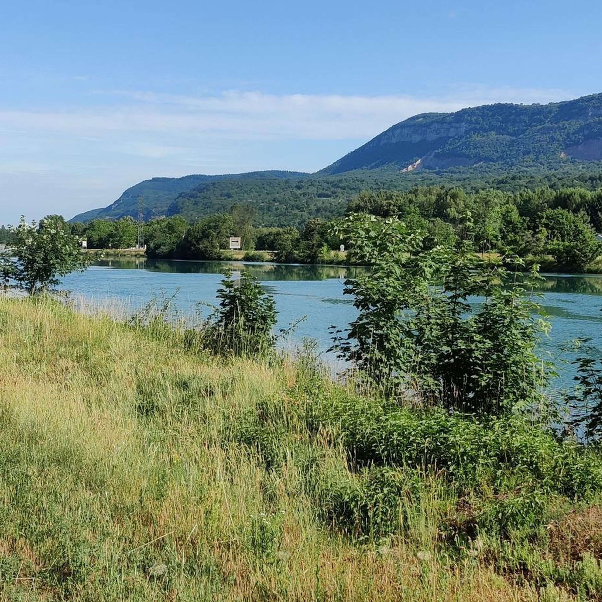
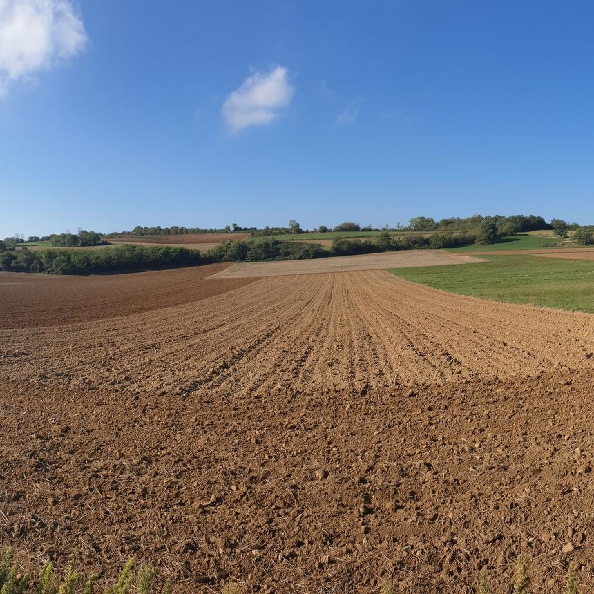
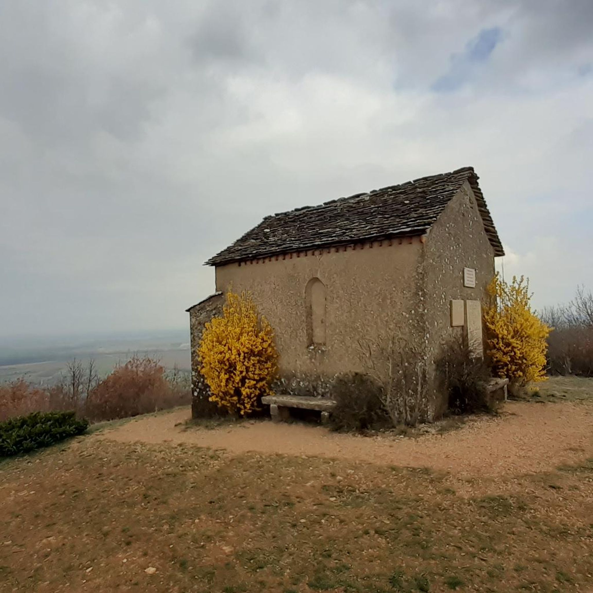
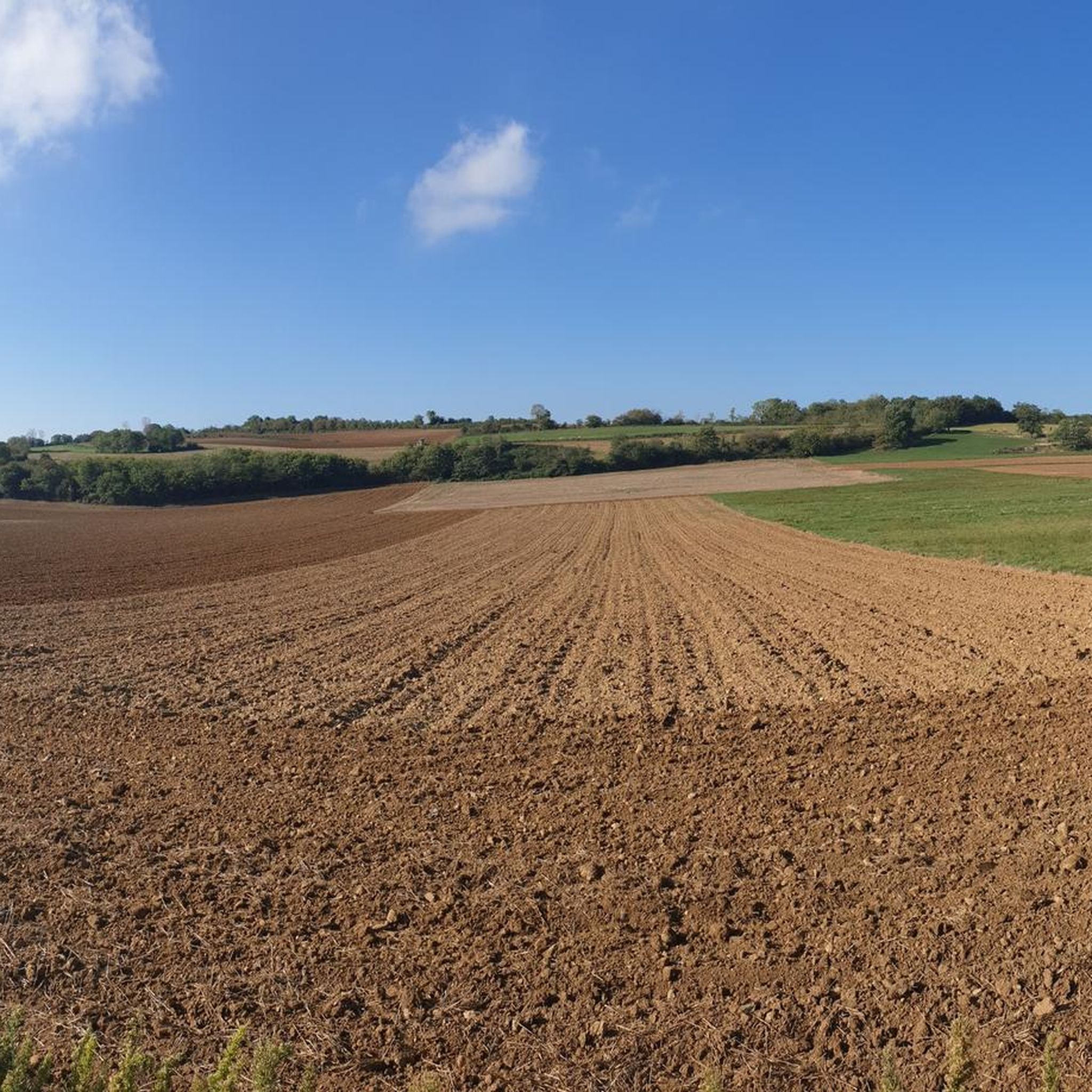
Tips from the Community

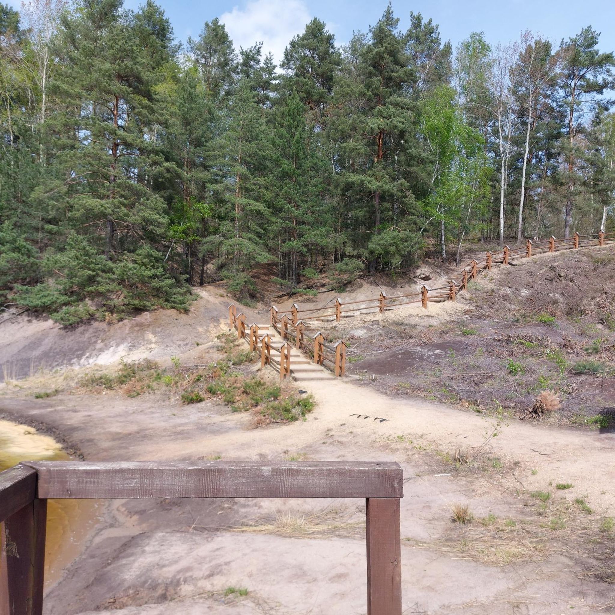
Very beautiful point of view, the path after the chapel is nice by mountain bike (or 2-wheel motor ..) certain passages limit trial.
2
0
Frequently Asked Questions
How many running routes are available around Annoisin-Chatelans?
There are nearly 400 dedicated running routes around Annoisin-Chatelans listed on komoot. These include a variety of options, with 29 easy routes, over 300 moderate routes, and 62 difficult trails for more experienced runners.
What kind of terrain can I expect on the jogging trails in Annoisin-Chatelans?
The terrain around Annoisin-Chatelans is quite varied, ranging from the foothills to the plateau of the Isle-Crémieu. You'll find paths winding through calcareous plateaus with abundant boxwood and blue junipers, leading to magnificent cliffs overlooking the Rhône valley. Some routes also feature 'sentiers sauvages' (wild trails) for a more immersive natural experience. Elevations range from 280 to 452 meters, offering both moderate and challenging climbs.
Are there any running routes that offer panoramic views?
Yes, many trails in Annoisin-Chatelans offer exceptional panoramic views. From higher points, especially on clear days, you can often see the majestic Alps and even Mont Blanc, providing breathtaking scenery during your run. The cliffs overlooking the Rhône valley also offer stunning vistas.
Are there any moderate running routes for those looking for a less strenuous jog?
Absolutely. While Annoisin-Chatelans is known for its challenging trails, there are over 300 moderate running routes available. One excellent option is the Running loop from Annoisin-Chatelans, which covers about 11.3 km with a moderate elevation gain, perfect for a steady jog.
What historical or cultural landmarks can I see while jogging in the area?
The region boasts a rich historical heritage. Many routes pass by traditional golden stone houses, communal ovens, and public laundries (lavoirs). The historic Larina site, an ancient oppidum with traces of early millennium occupation, is a notable landmark accessible on several trails, such as the Oppidum of Larina – DH of Val d'Amby loop from Annoisin-Chatelans. You can also explore nearby medieval towns like Crémieu, which features the Crémieu, medieval town and the Château Delphinal of Crémieu.
Are there any lakes or water features along the running trails?
While the immediate trails might not always run directly alongside large lakes, the broader area around Annoisin-Chatelans features several beautiful water bodies. For example, the Lac d'Hières loop from Vernas offers a challenging run near a significant lake. Other nearby attractions include the Vallée Bleue Lake and La Tuille Pond, which can be explored as part of a longer outing.
What do other runners say about the jogging routes in Annoisin-Chatelans?
The running routes in Annoisin-Chatelans are highly rated by the komoot community, with an average score of 4.5 stars from over 230 reviews. Runners often praise the varied terrain, the exceptional panoramas, and the diverse challenges offered by the trails, making it a popular destination for outdoor enthusiasts.
Is Annoisin-Chatelans suitable for trail running events?
Yes, Annoisin-Chatelans is well-recognized in the trail running community. It notably hosts the annual 'Trail des Caboués' event, which features courses of various distances, such as 10 km and 23 km, with significant elevation gains. This highlights the region's suitability for runners seeking diverse challenges and an exceptional panorama. You can find more information about the event on the Balcons du Dauphiné Tourisme website.
Are there any challenging running routes for experienced trail runners?
For experienced trail runners seeking a challenge, Annoisin-Chatelans offers several difficult routes. The Hières-sur-Amby village – Oppidum of Larina loop from Hières-sur-Amby is a hard 11.3 km path with significant elevation gain through varied landscapes. Another demanding option is the Oppidum of Larina – Mollard-Reinard (Fontana) loop from Hières-sur-Amby, a 5.95 km trail with substantial climbing.
What kind of natural features can I observe while running in this region?
The natural landscape is characterized by calcareous plateaus, abundant boxwood, and blue junipers. You'll also encounter magnificent cliffs that offer dramatic views over the Rhône valley. The area's altitude variations provide a diverse natural experience, from lower paths to higher points with expansive vistas.
Are there any castles or historical sites nearby that I can visit after a run?
Yes, the region is rich in historical sites. Beyond the trails, you can explore several castles. Notable examples include the Château de Bienassis and the Cingle Castle. The nearby medieval town of Crémieu is also worth a visit for its historical charm.
Most popular routes around Annoisin-Chatelans
Most popular attractions around Annoisin-Chatelans

Get inspired with the komoot mobile app


Explore more
Browse the best Running Trails & Routes in other regions.
