The best walks and hikes around Annoisin-Chatelans
4.6
(532)
2,899
hikers
294
hikes
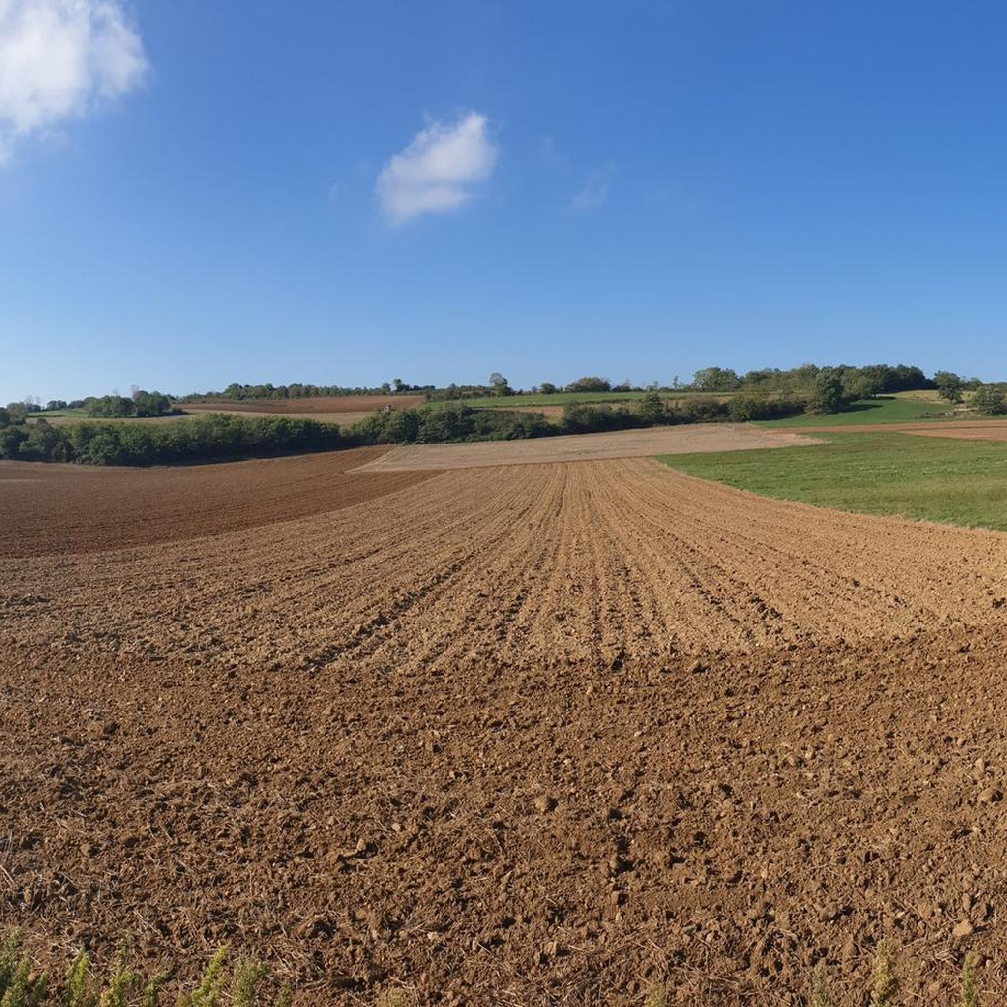
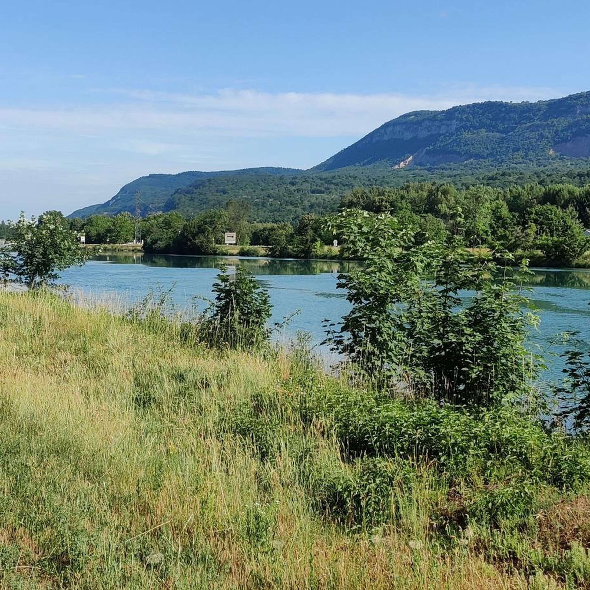
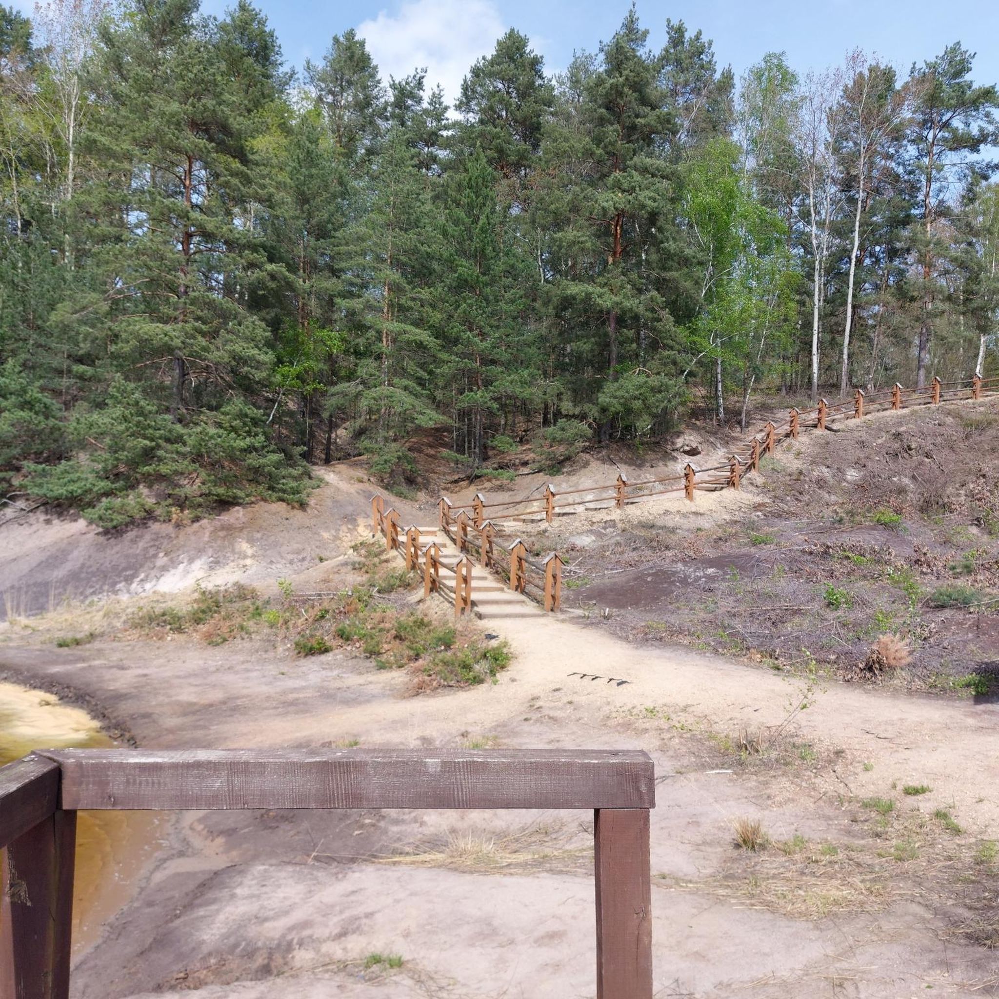
Hiking around Annoisin-Chatelans offers a diverse landscape characterized by rolling hills, historical sites, and natural features. The region features a mix of woodlands, open fields, and elevated viewpoints providing expansive vistas. Trails often lead past ancient structures and natural water features, making for varied hiking experiences.
Best hiking trails around Annoisin-Chatelans
- The most popular hiking route is Small Waterfall – Château de Brotel loop from Hières-sur-Amby, a 6.4 miles (10.3 km) trail that takes about 3 hours to complete,…
Last updated: July 2, 2026
4.3
(8)
50
hikers
10.4km
03:01
270m
270m
Moderate hike. Good fitness required. Easily-accessible paths. Suitable for all skill levels.
4.4
(8)
42
hikers
6.67km
02:15
250m
250m
Hard hike. Good fitness required. Sure-footedness, sturdy shoes and alpine experience required.

Sign up for free
4.7
(7)
39
hikers
10.1km
03:10
310m
310m
Moderate hike. Good fitness required. Mostly accessible paths. Sure-footedness required.
4.6
(11)
34
hikers
8.66km
02:25
160m
160m
Moderate hike. Good fitness required. Easily-accessible paths. Suitable for all skill levels.
5.0
(4)
41
hikers
Hard hike. Good fitness required. Sure-footedness, sturdy shoes and alpine experience required.
Get access to more routes and recommendations from other explorers.
Sign up for free
Already have an account?
Our route recommendations are based on thousands of hikes, rides, and runs completed by other people on komoot.
Start today with a free account
Your next adventure awaits.
Login or Signup
Tips from the Community

Very beautiful village with character, entirely made of stone; from the village, you can see the Madonna of the Larina Archaeological site.
0
0

Although first mentioned in 1540, the Cingle fortified house was undoubtedly built in the second half of the 14th century by the Pèlerin family. Originally composed of a main tower and a wing back to the west, it perhaps originally included a curtain wall. During the 15th century, the south wing was extended towards the west, a main building comprising a lower room and an upper room was attached to the north of the main tower, while a turret occupied on the first floor by an oratory and on the second by a dovecote is built to the east, projecting. A wing including the kitchen on the ground floor is also built at right angles to the north of the courtyard. The farm itself retains some architectural elements dating from the 16th century. Source: Ministry of Culture
1
0

Cascade de Verbois, then direction Cascade de la Roche and the pond of Boulieu with these essential bald cypresses
1
0


In the middle of the end descent ⭐⭐⭐⭐⭐
1
0

Listed as historical monuments: https://www.pop.culture.gouv.fr/notice/merimee/PA00117311
1
0
Private property (cannot be visited)
2
0
Private property, visible from the Val d'Amby and which can be approached by climbing to Saint-Baudille-de-la-Tour.
0
0
Frequently Asked Questions
What do other hikers enjoy the most about hiking in Annoisin-Chatelans?
The area is highly rated by the komoot community, with an average score of 4.6 stars from over 450 reviews. Hikers often praise the diverse landscape, historical sites, and natural water features, including waterfalls and scenic viewpoints.
How many hiking trails are available around Annoisin-Chatelans?
There are over 260 hiking routes in the Annoisin-Chatelans region, catering to various skill levels from easy to difficult. You'll find a mix of woodlands, open fields, and elevated viewpoints.
Are there easy hiking trails suitable for beginners in Annoisin-Chatelans?
Yes, the region offers 94 easy hiking routes. These trails are generally shorter and have less elevation gain, making them ideal for beginners or those looking for a relaxed walk. Many of these routes still offer beautiful scenery and a chance to explore the local nature.
Are there any circular hiking routes in Annoisin-Chatelans?
Many of the trails around Annoisin-Chatelans are designed as loops, allowing you to start and end at the same point. An example is the Cingle Castle – View of Hières-sur-Amby loop from Annoisin-Chatelans, which offers panoramic views and passes a notable castle.
Are there hiking trails with waterfalls in the Annoisin-Chatelans area?
Yes, the region features natural water features, including waterfalls. A popular route that includes a waterfall is the Small Waterfall – Château de Brotel loop from Hières-sur-Amby, which also passes a historic castle.
What kind of historical sites can be seen along the hiking trails?
Hiking trails in Annoisin-Chatelans often lead past ancient structures and historical sites. You can explore various castles, such as Cingle Castle or Château de Brotel, and even the medieval town of Crémieu, which has its own Château Delphinal.
Are there any scenic viewpoints or panoramic vistas on the hikes?
Yes, the Annoisin-Chatelans region is known for its elevated viewpoints providing expansive vistas. Many routes offer panoramic views, such as the View of Hières-sur-Amby loop from Vernas, allowing you to take in the diverse landscape.
Are there any lakes or wild swimming spots near the hiking trails?
While specific wild swimming spots are not highlighted, there are several beautiful lakes in the vicinity. You can find places like Vallée Bleue Lake, La Tuille Pond, and Étang de Chalignieu, which offer picturesque settings near some of the hiking areas.
What is the typical duration for a hike in Annoisin-Chatelans?
Hike durations vary significantly depending on the route's length and difficulty. For example, a moderate 6.3-mile (10.1 km) trail like the Cingle Castle – View of Hières-sur-Amby loop typically takes around 3 hours and 10 minutes, while shorter routes can be completed in less time.
Is public transport available to reach trailheads in Annoisin-Chatelans?
Information on specific public transport links to individual trailheads is not readily available in the guide data. It is generally recommended to check local transport services for routes connecting to villages or towns near your chosen trailhead, such as Annoisin-Chatelans or Hières-sur-Amby.
Are there family-friendly hiking options in Annoisin-Chatelans?
Yes, with 94 easy routes, there are many family-friendly options available. These trails are typically less strenuous and can be enjoyed by hikers of all ages. Look for shorter, well-maintained paths that offer interesting sights like historical ruins or natural features to keep children engaged.
What is the best season for hiking in Annoisin-Chatelans?
The diverse landscape of Annoisin-Chatelans makes it suitable for hiking across multiple seasons. Spring and autumn offer pleasant temperatures and vibrant scenery, while summer is ideal for longer days. Winter hikes are also possible, though conditions may vary and require appropriate gear.
Most popular routes around Annoisin-Chatelans
Most popular attractions around Annoisin-Chatelans

Get inspired with the komoot mobile app


Explore more
Browse the best Hikes in other regions.
