The best running trails around Saint-Romain
4.3
(138)
7,342
runners
389
runs
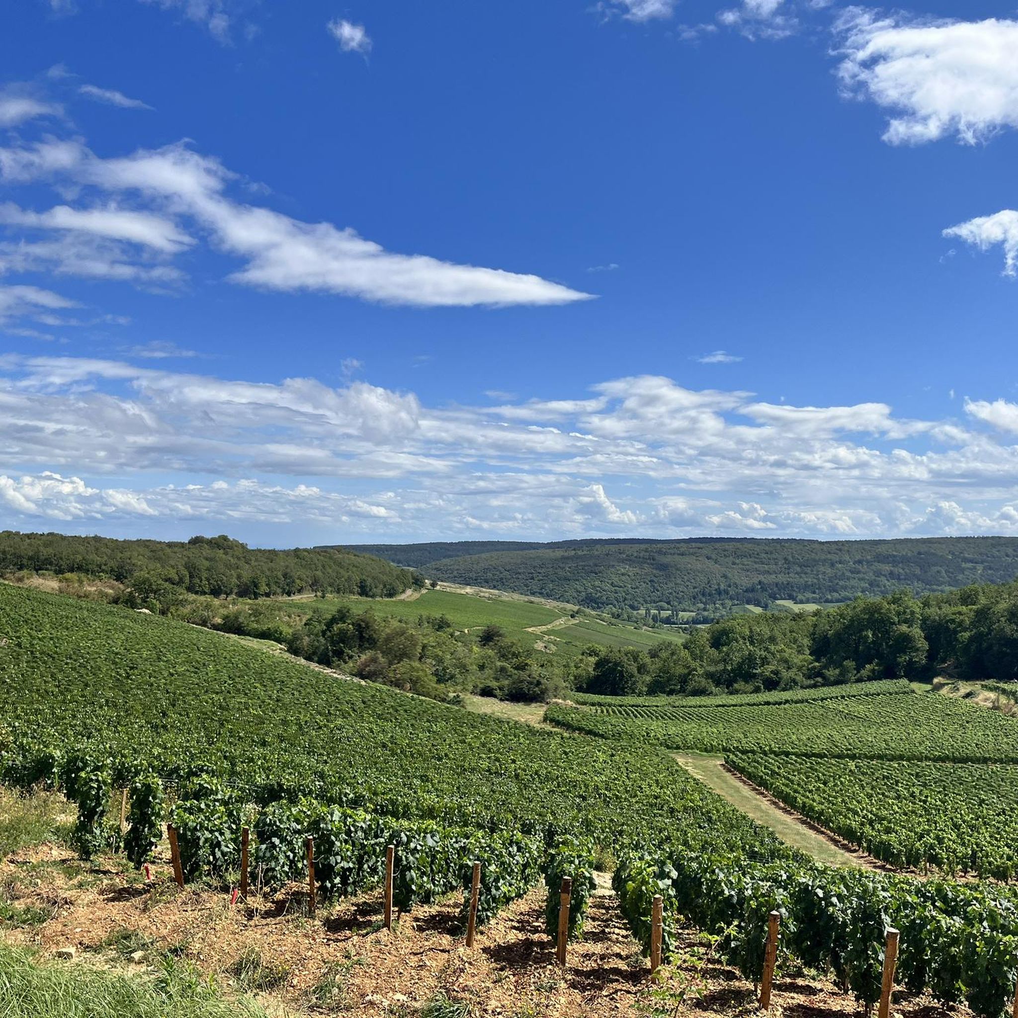
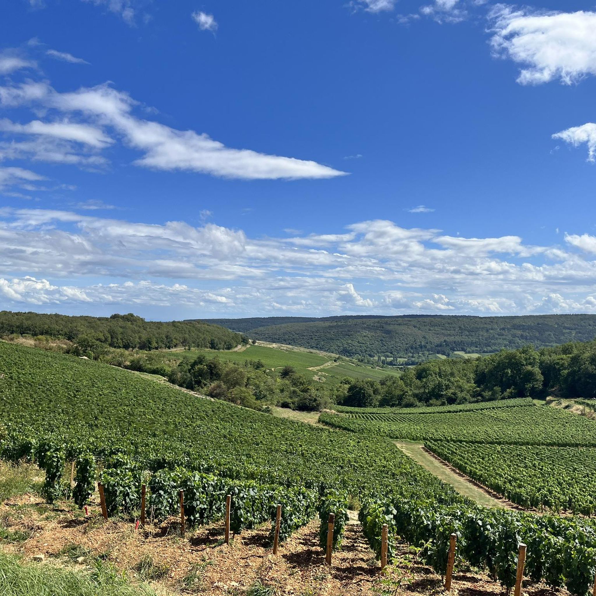
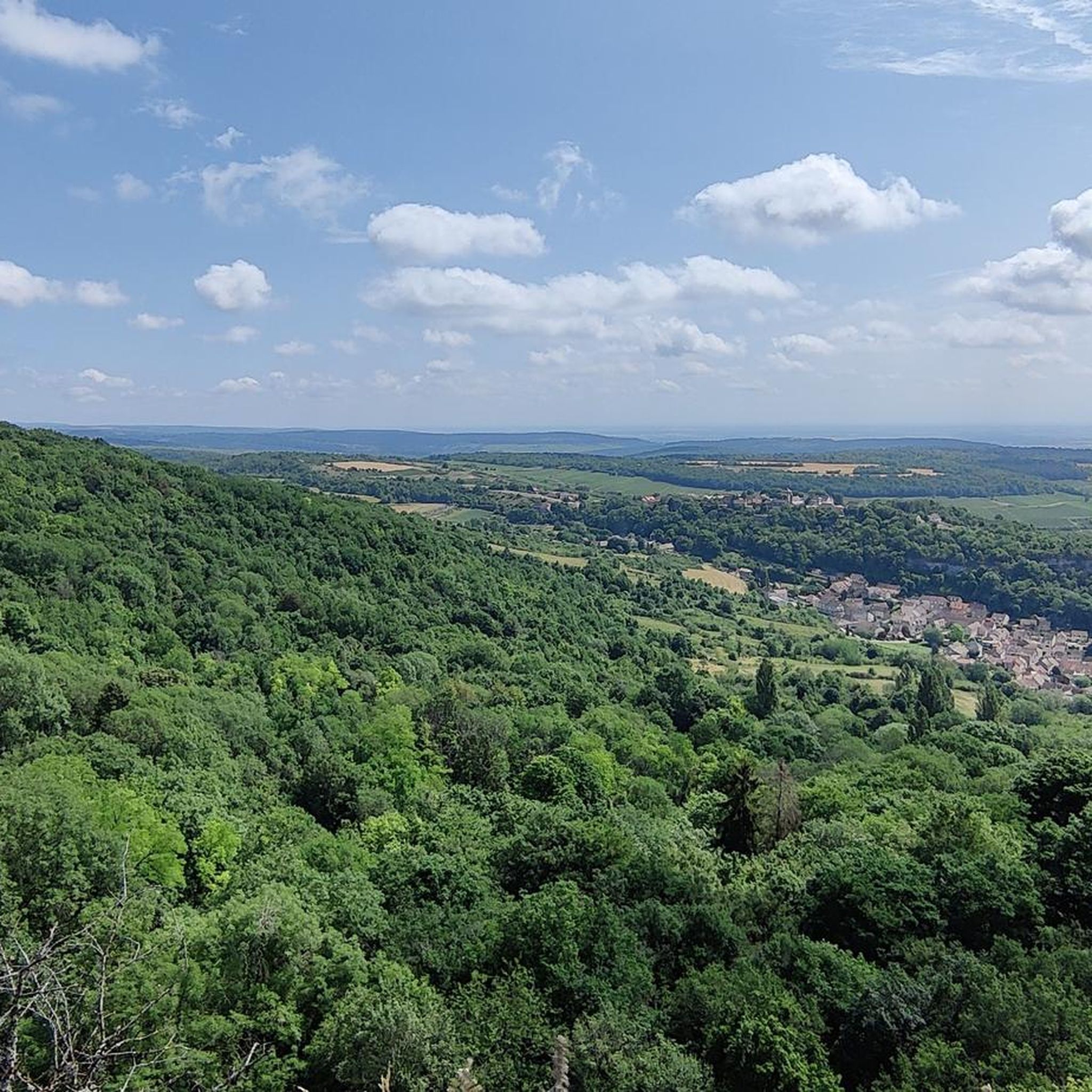
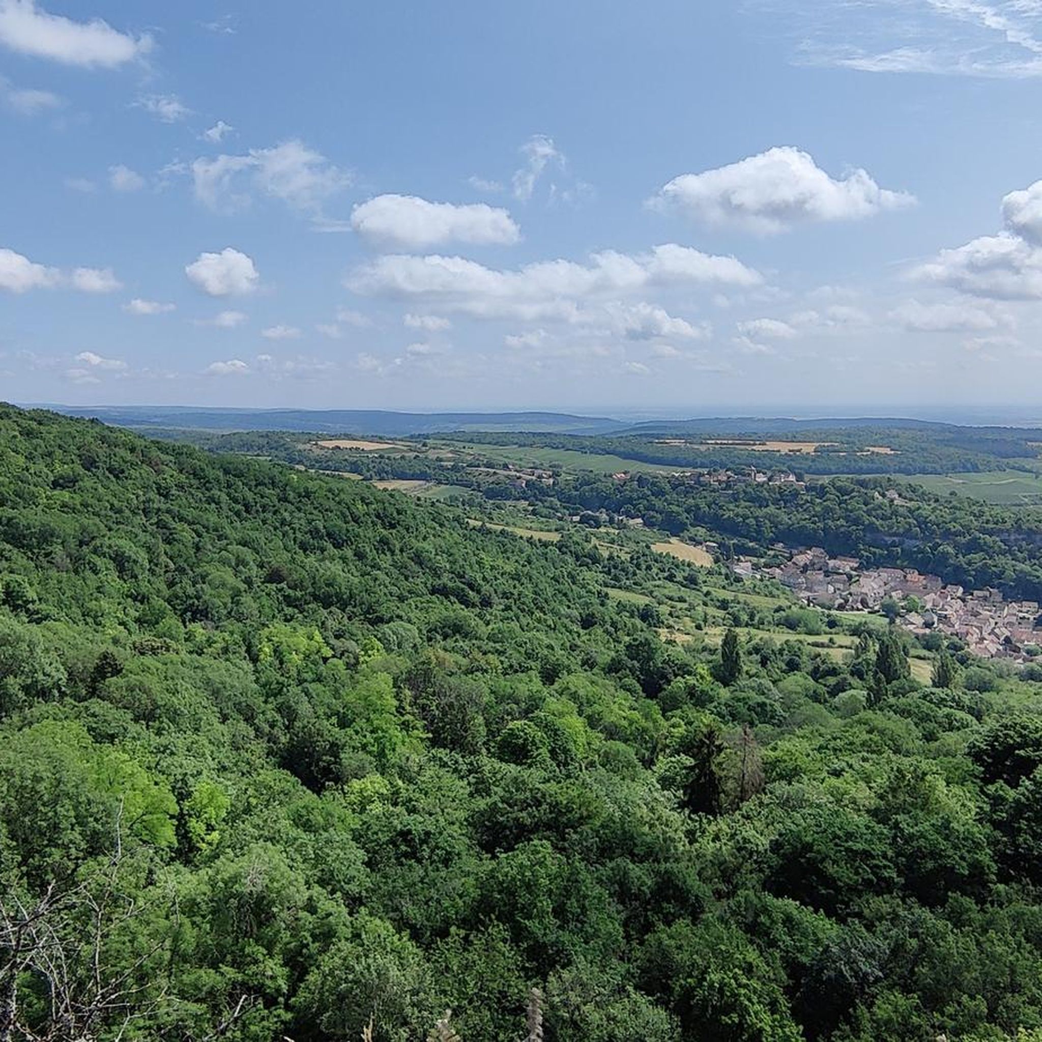
Jogging around Saint-Romain offers a diverse landscape for runners, characterized by its position in the heart of Burgundy's wine region. The terrain features rolling hills, limestone cliffs, and dense woodlands, providing varied elevation changes. Running routes often traverse vineyards and offer views of the surrounding valleys. The area is well-suited for those seeking trails with natural beauty and a mix of ascents and descents.
Best jogging routes around Saint-Romain
- The most popular jogging route is Trou Qui Fume loop from…
Last updated: July 6, 2026
5.0
(1)
7
runners
13.5km
01:41
430m
430m
Hard run. Very good fitness required. Mostly paved surfaces. Suitable for all skill levels.
10
runners
11.2km
01:24
300m
300m
Moderate run. Good fitness required. Mostly paved surfaces. Suitable for all skill levels.

Sign up for free
2.0
(1)
6
runners
10.6km
01:09
210m
210m
Moderate run. Good fitness required. Mostly paved surfaces. Suitable for all skill levels.
4.0
(1)
5
runners
7.22km
00:57
270m
270m
Moderate run. Good fitness required. Mostly paved surfaces. Suitable for all skill levels.
6
runners
6.59km
00:50
210m
210m
Moderate run. Good fitness required. Mostly paved surfaces. Suitable for all skill levels.
Get access to more routes and recommendations from other explorers.
Sign up for free
Already have an account?
Our route recommendations are based on thousands of hikes, rides, and runs completed by other people on komoot.
Start today with a free account
Your next adventure awaits.
Login or Signup

Tips from the Community


Orches is a beautiful little wine-producing village nestled at the foot of the cliffs of the Bel-Air plateau. From here, you have a beautiful view all the way to the Saône plain.
2
0

Magical path through many dead, heavily mossy trees. Along the way, partly ruined walls indicate that the site was used in the past. Further up there are small stone huts, the cabottes, which seem to have been used to store tools and other material and to provide shelter. https://auxeyduresses.fr/sentier-des-cabottes
0
1

The cliffs of Saint Romain, also known as the Falaises d'orche, are an impressive natural limestone formation.
0
0

Breathtaking view of Saint-Roman from the cliffs.
3
0

Recommended, long beautiful climb. Occasionally slicker pieces
0
0
longer climb that gets a bit steeper towards the end. view over Saint-Romain and the valley
0
0
Frequently Asked Questions
How many running routes are available around Saint-Romain?
There are over 350 running routes around Saint-Romain, offering a wide variety of options for all fitness levels. The komoot community has explored more than 6,600 routes in this area.
What kind of terrain can I expect on jogging trails in Saint-Romain?
Jogging around Saint-Romain offers a diverse landscape characterized by its position in the heart of Burgundy's wine region. You'll find rolling hills, limestone cliffs, and dense woodlands, providing varied elevation changes. Many routes traverse vineyards and offer views of the surrounding valleys.
Are there easy jogging routes suitable for beginners in Saint-Romain?
Yes, Saint-Romain offers 24 easy jogging routes perfect for beginners or those looking for a more relaxed run. While not explicitly easy, a moderate option like the Orche cliffs – Orches loop from Saint-Romain is shorter at 6.6 km and offers a manageable challenge.
Can I find circular running routes in Saint-Romain?
Absolutely. Many of the running routes in Saint-Romain are circular, allowing you to start and finish at the same point. For example, the popular Cabottes Trail loop from Auxey-Duresses is a moderate 10.8 km circular path winding through vineyards and wooded sections.
Are dogs allowed on the running trails in Saint-Romain?
Generally, dogs are welcome on most outdoor trails in the Saint-Romain area, especially if kept on a leash. However, it's always best to check local signage or specific route descriptions for any restrictions, particularly in nature reserves or private vineyard areas.
Where can I find scenic viewpoints or natural landmarks along the running routes?
Saint-Romain is rich in natural beauty. Many routes offer stunning views of the vineyards and valleys. You can find impressive natural landmarks like the Cliffs of Saint-Romain or enjoy the View of the Cirque at the End of the World. The Nice long climb – Belvédère de Meloisey loop from Meloisey specifically leads to a notable scenic viewpoint.
What are the typical distances and elevation gains for running routes in Saint-Romain?
Running routes in Saint-Romain vary significantly. You can find shorter runs around 6-7 km with moderate elevation, like the Orche cliffs – Orches loop from Saint-Romain (6.6 km, 212 m elevation gain). Longer, more challenging routes, such as the Trou Qui Fume loop from Saint-Romain, can be around 13.5 km with over 430 m of elevation gain.
Is parking available near the jogging trailheads in Saint-Romain?
Parking is generally available in or near the villages where many routes begin, such as Saint-Romain, Auxey-Duresses, or Meloisey. Look for designated parking areas in these towns, often close to the church or village center, which serve as convenient starting points for many trails.
How accessible are the running routes by public transport?
Public transport options directly to trailheads in Saint-Romain can be limited, as it's a rural wine region. It's often more convenient to reach the starting points by car. However, some larger nearby towns may have bus services, from which you might be able to connect to the smaller villages.
What do other runners enjoy the most about jogging in Saint-Romain?
The running trails in Saint-Romain are highly rated by the komoot community, with an average score of 4.3 stars from over 120 reviews. Runners often praise the diverse terrain, the beautiful vineyard landscapes, and the mix of challenging climbs and enjoyable descents.
Are there any long-distance running options in the Saint-Romain area?
While many routes are moderate in length, you can find longer options. The Trou Qui Fume loop from Saint-Romain, at 13.5 km, offers a significant distance and challenge. For even longer runs, you can often combine multiple routes or explore sections of the wider network that connects the villages and vineyards.
Are there any historical sites or attractions near the running paths?
Yes, the region is rich in history and culture. While running, you might pass by or be close to sites like the Cul Blanc Dolmen, an ancient historical site. The broader area also features attractions such as the Meursault Castle and the famous Hôtel-Dieu Museum - Hospices de Beaune, though these might require a short detour from the immediate trails.
Most popular routes around Saint-Romain
Most popular attractions around Saint-Romain

Get inspired with the komoot mobile app


Explore more
Browse the best Running Trails & Routes in other regions.
