The best running trails around La Perrière
4.4
(59)
5,369
runners
13
runs
Jogging around La Perrière offers diverse terrain within France's Regional Natural Park of Perche. The area is characterized by rolling hills, verdant landscapes, and a mix of open countryside and dense woodlands. Situated on a promontory, the region provides panoramic views over the Percheron countryside and distant forests like Bellême and Perseigne. Joggers can explore traditional "chemins creux" (sunken paths) and routes that traverse varied elevations.
Best jogging routes around La Perrière
- The most popular jogging route is Lac loop…
Last updated: October 4, 2026
29
runners
6.02km
00:45
140m
140m
Moderate run. Good fitness required. Mostly paved surfaces. Suitable for all skill levels.
14
runners
5.37km
00:42
170m
170m
Moderate run. Good fitness required. Mostly paved surfaces. Suitable for all skill levels.

10
runners
25.1km
03:46
1,360m
1,360m
Hard run. Very good fitness required. Sure-footedness, sturdy shoes and alpine experience required.
9
runners
16.3km
02:23
940m
940m
Hard run. Very good fitness required. Mostly accessible paths. Some sure footedness required.
7
runners
13.8km
01:39
410m
400m
Hard run. Very good fitness required. Mostly paved surfaces. Suitable for all skill levels.
Get access to more routes and recommendations from other explorers.
Already have an account?
Our route recommendations are based on thousands of hikes, rides, and runs completed by other people on komoot.
Start today with a free account
Your next adventure awaits.

Tips from the Community

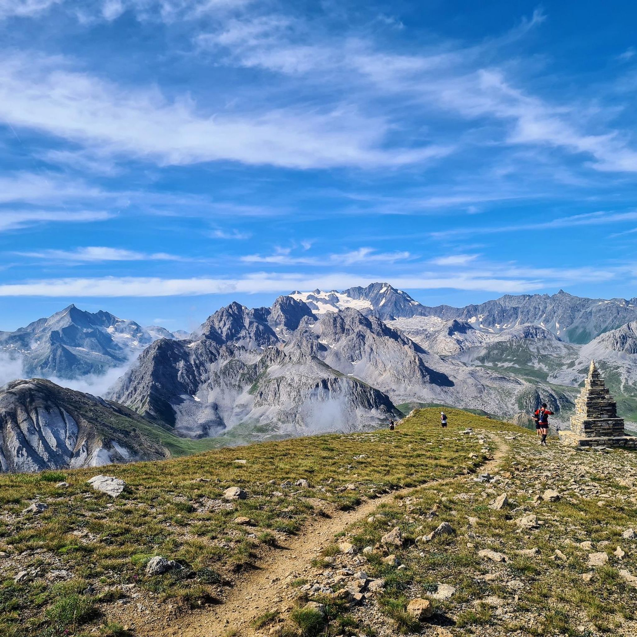
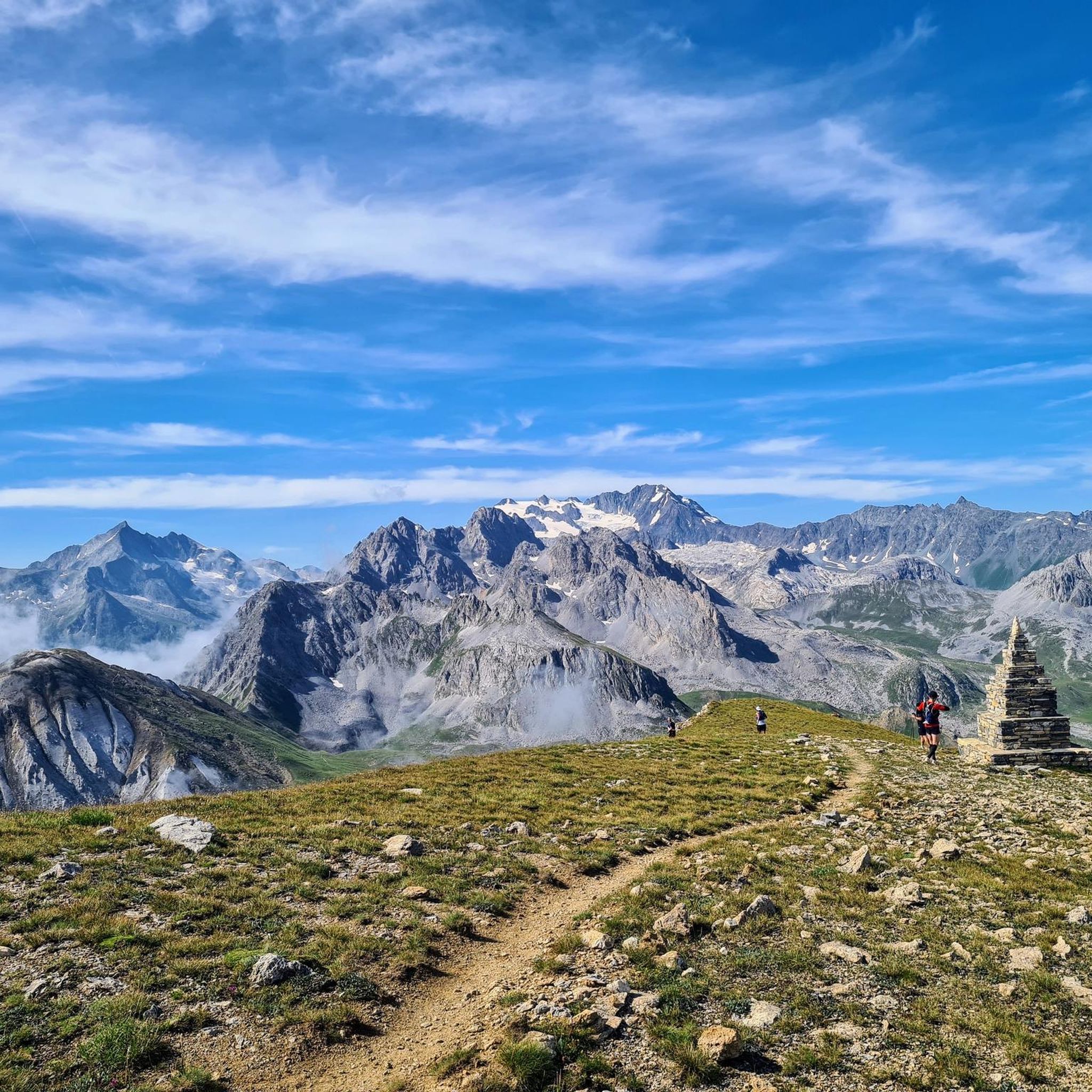
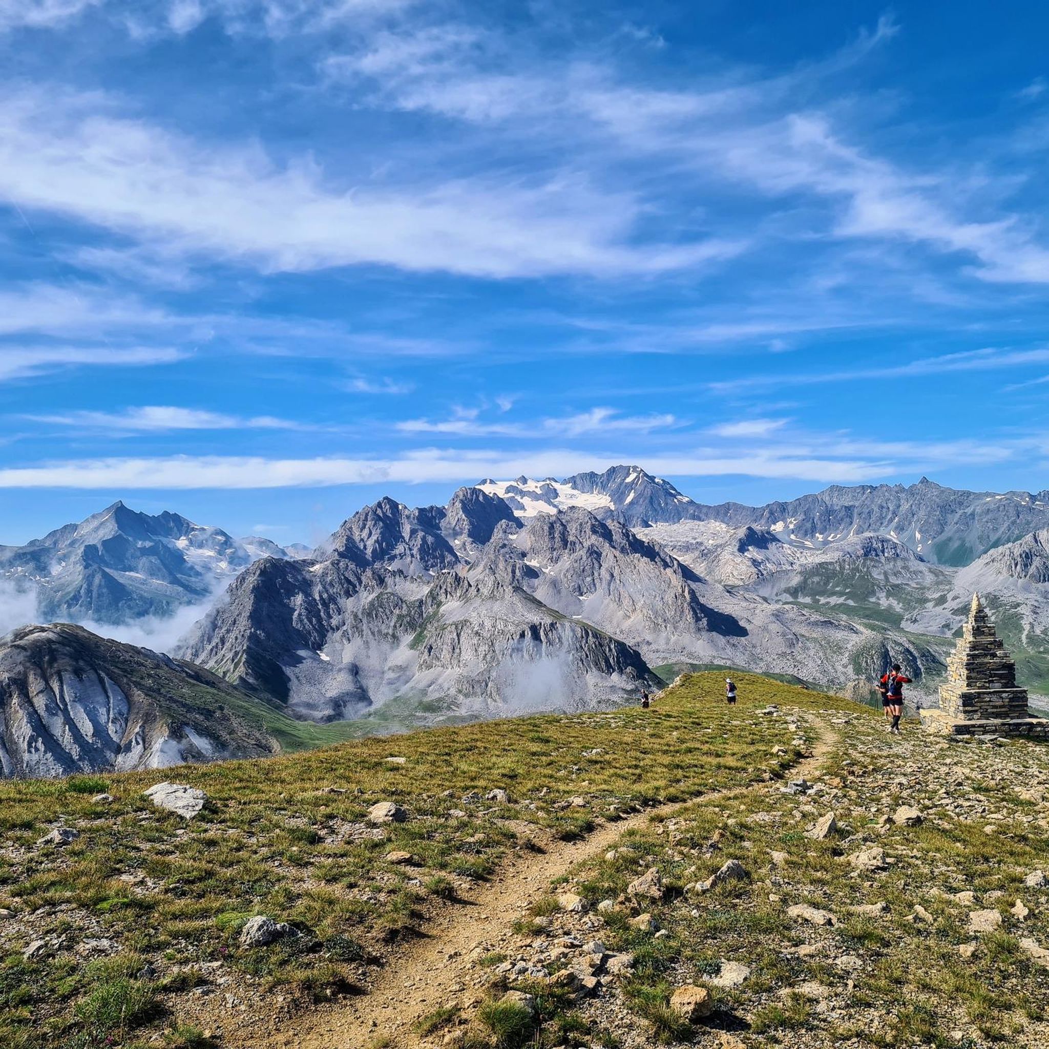
if it weren't for the construction sites and the huge ski resorts...
0
0

Place on the D915, already suffering from through traffic. Some nice corners and a water source at the town hall.
3
0
Mountain lake in Praz, a district of Courchevel.
2
0
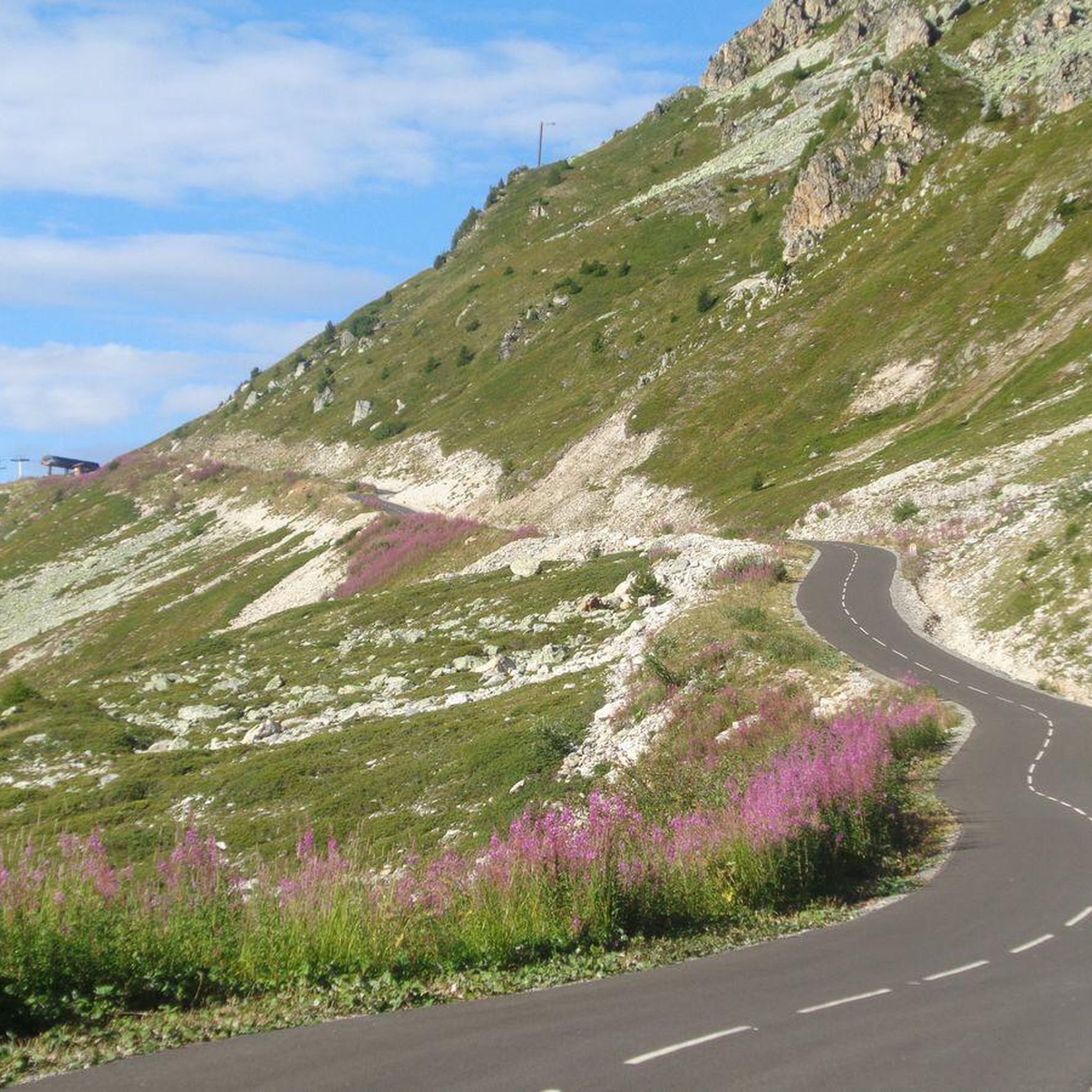
Great views, nice bike path, but uneven in the climbs.
2
0
Path with cycle path and great views. Ascent partly uneven. More info: https://de.wikipedia.org/wiki/Col_de_la_Loze?wprov=sfla1
2
0

The Col de la Loze is a 2304 meter high mountain pass in the French Alps
5
0

Super nice discovery I had the opportunity to climb it with the Tour de France ascent race sponsored by Laurent Jalabert.
2
0
Frequently Asked Questions
How many running routes are available around La Perrière?
Komoot offers around 15 diverse running routes in and around La Perrière. These trails cater to various fitness levels, ranging from moderate loops to more challenging runs with significant elevation changes.
What kind of terrain can I expect on the jogging trails in La Perrière?
The terrain around La Perrière is characterized by rolling hills, ancient woodlands, and traditional "chemins creux" (sunken paths). You'll find a mix of challenging ascents and gentler sections, offering a varied experience through the picturesque Perche Regional Natural Park.
Are there any easy or beginner-friendly running routes in La Perrière?
While there are no routes explicitly categorized as 'easy' in the komoot guide, many of the moderate trails can be suitable for beginners looking for a gentle challenge. For instance, the Lac loop from La Perrière is a moderate 3.8-mile (6.1 km) route that circles a lake, offering a scenic and accessible run without extreme difficulty.
Can I find challenging running routes with significant elevation in the area?
Absolutely. La Perrière is situated on a promontory within a hilly landscape, providing excellent options for challenging runs. The View down to Bozel loop from La Perrière is a difficult 9.1-mile (14.7 km) path featuring substantial elevation gain and expansive views over the surrounding valleys and forests.
Are there any circular running routes around La Perrière?
Yes, many of the running routes around La Perrière are circular, allowing you to start and end in the same location. Popular loop trails include the Les Tèpes loop from La Perrière, which is a 3.4-mile (5.5 km) trail through rolling countryside and wooded sections.
What are the best natural features or viewpoints to see while running near La Perrière?
Joggers can enjoy exceptional panoramic views over the Percheron countryside, the Sarthe, and the distant Perseigne forest from sites like l'Éperon at the village's edge. The region is also bordered by the beautiful Bellême forest, offering lush natural surroundings and extensive paths.
What do other runners say about the trails in La Perrière?
The running routes in La Perrière are highly rated by the komoot community, with an average score of 4.3 stars from over 50 reviews. Runners often praise the varied terrain, the tranquility of the Perche Regional Natural Park, and the charm of exploring traditional "chemins creux".
Are there any running routes that pass by lakes or water features?
Yes, you can find routes that incorporate water features. The Lac loop from La Perrière is a popular moderate trail that circles a lake, providing a refreshing and scenic backdrop for your run.
Is La Perrière a good destination for a running holiday?
With its picturesque landscapes, historical charm, and access to extensive natural spaces like the Bellême forest and the Perche Regional Natural Park, La Perrière offers an appealing setting for a running holiday. The village itself, a "Petite Cité de Caractère," provides a unique backdrop for exploration and relaxation after your runs.
Where can I find more information about the La Perrière region for my visit?
For more general information about La Perrière and the surrounding area, including details on local attractions and amenities, you can visit the official tourism website for the Orne department: ornetourisme.com.
Are there any longer distance running paths available?
For those looking for longer runs, the View down to Bozel loop from La Perrière is a substantial 9.1-mile (14.7 km) route. Additionally, the extensive network of paths in the nearby Bellême and Perseigne forests offers opportunities to extend your runs through natural surroundings.
What is the best time of year to go jogging in La Perrière?
The Perche Regional Natural Park, with its rolling hills and forests, is beautiful throughout the year. Spring and autumn offer pleasant temperatures and vibrant scenery, while summer provides longer daylight hours. Even in winter, the 'chemins creux' can offer sheltered and atmospheric runs, though conditions may vary.
Most popular routes around La Perrière
Most popular attractions around La Perrière

Get inspired with the komoot mobile app


Explore more
Browse the best Running Trails & Routes in other regions.
