The best mountain hikes around La Perrière
4.9
(9)
67
hikers
6
hikes
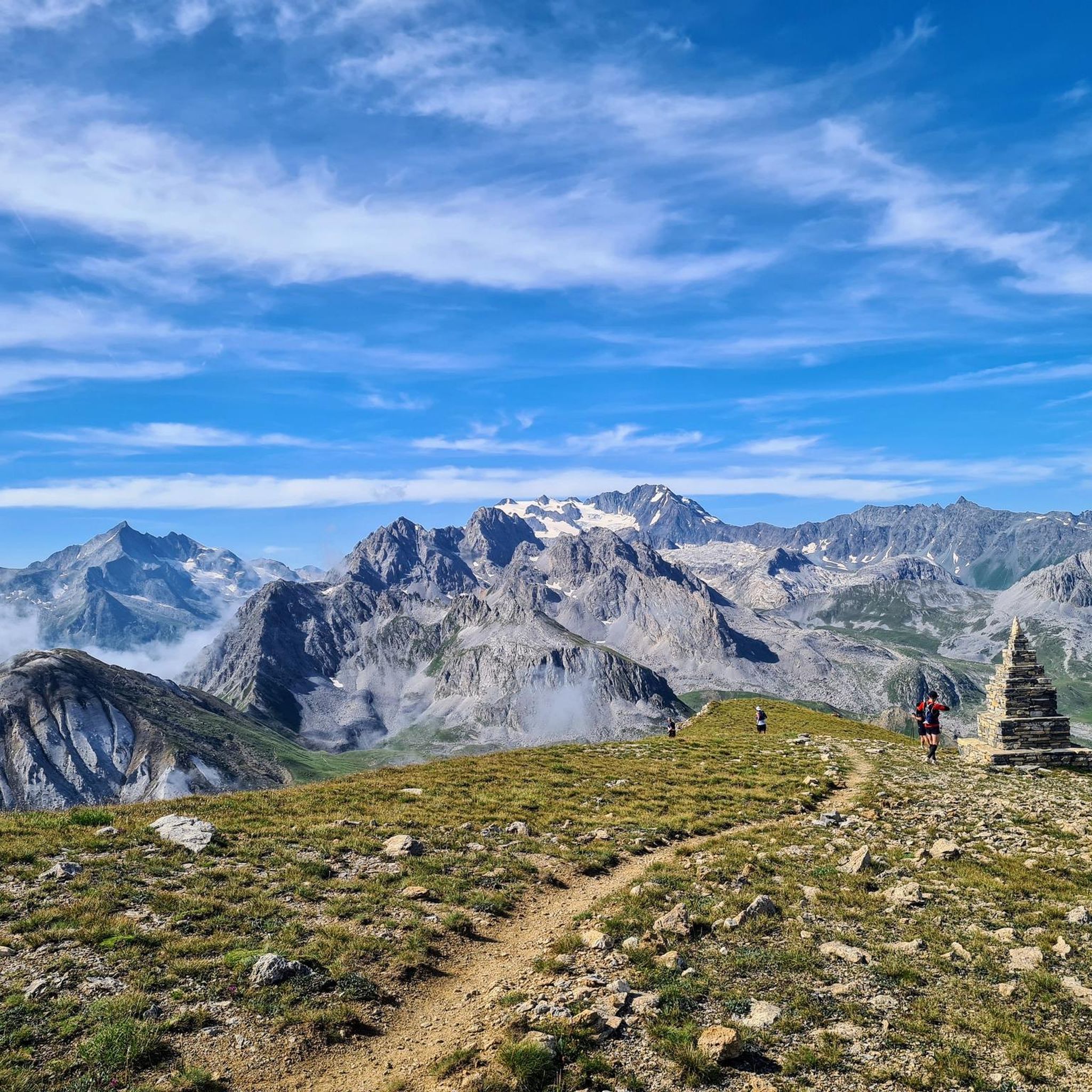
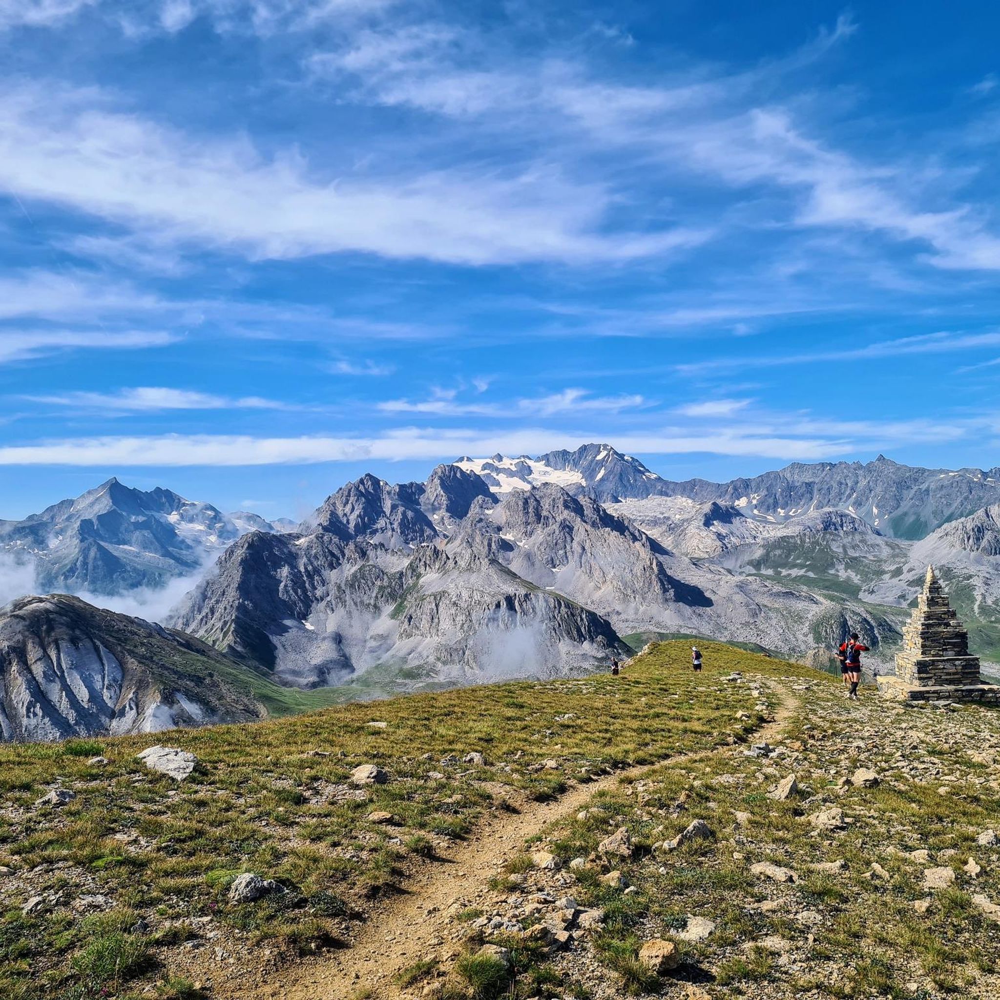
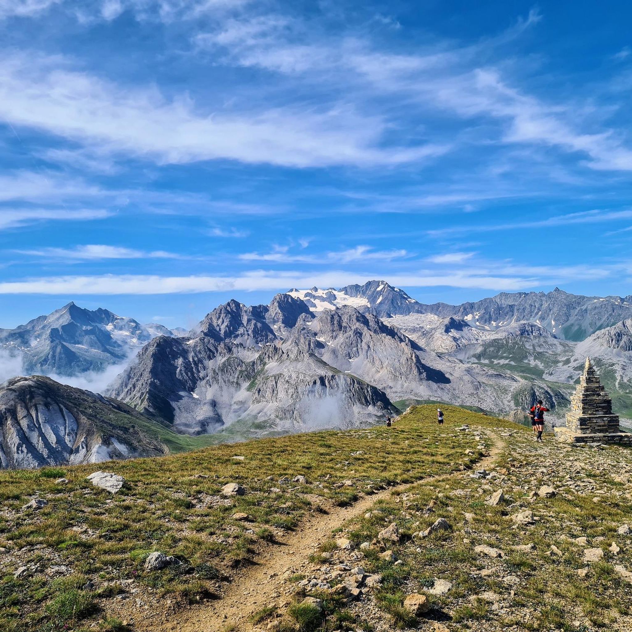
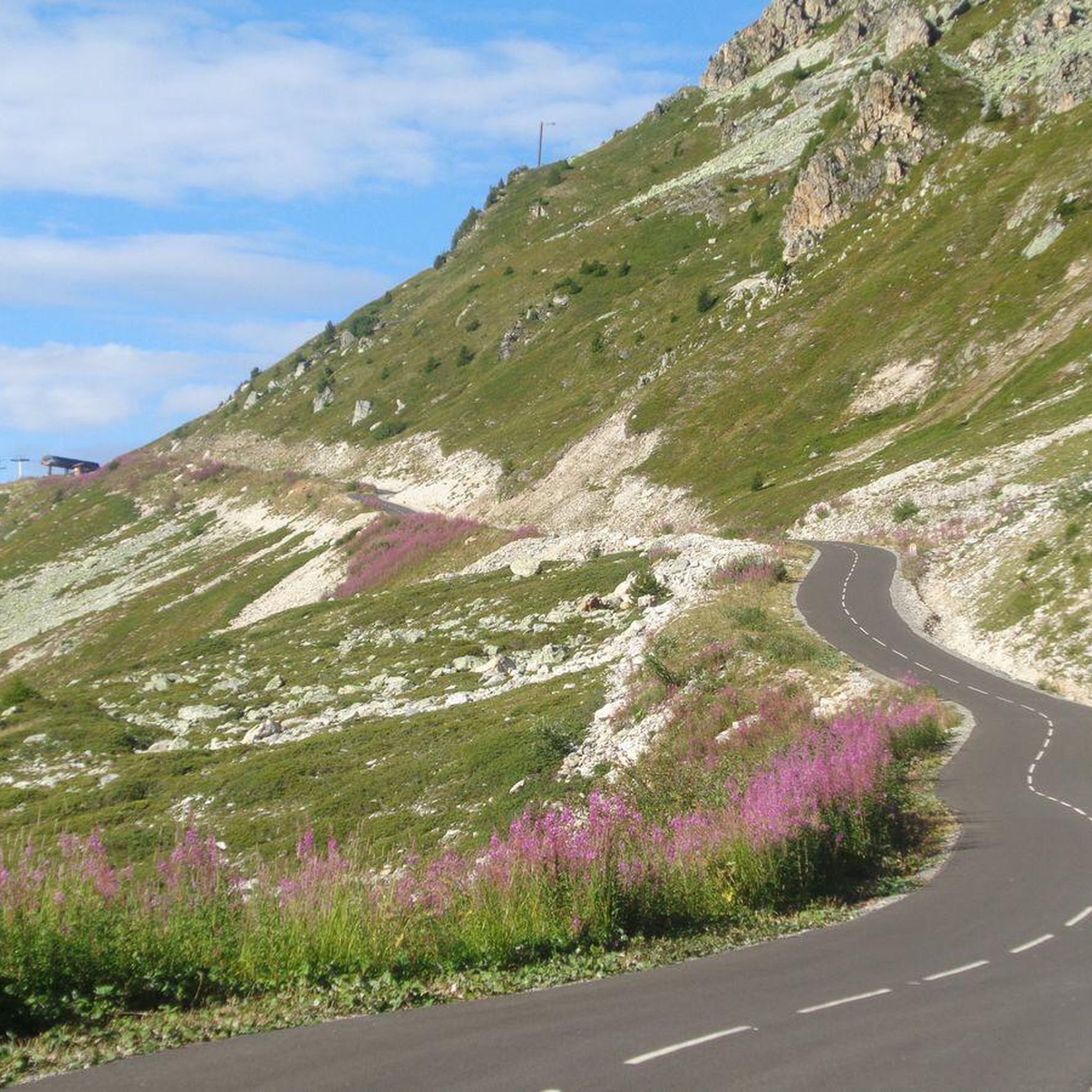
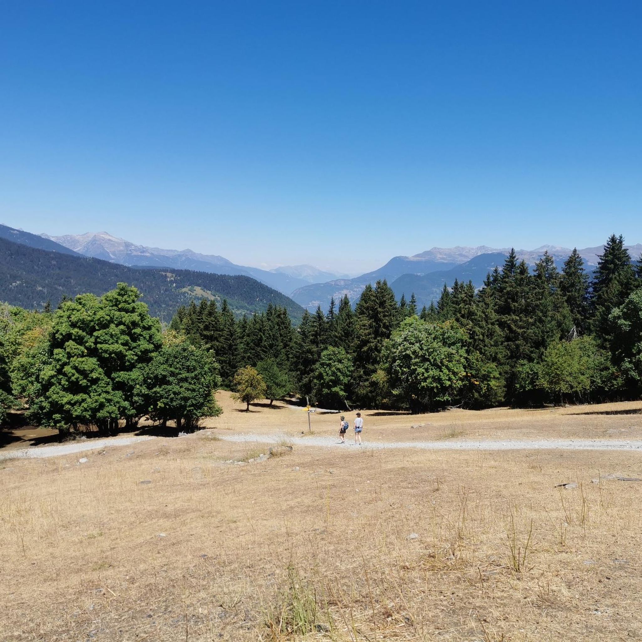
Mountaineering routes around La Perrière are found in the mountainous regions of Haute-Savoie and Savoie, characterized by significant vertical ascents and steep gradients. The terrain features a mix of paved roads, gravel sections, and natural paths through forests and grasslands, offering diverse environments for exploration. Elevated positions along these routes provide panoramic views of the surrounding mountainous landscapes. The area is known for its challenging climbs, making it suitable for strenuous mountain activities.
Best mountaineering routes around La Perrière
- The…
Last updated: July 1, 2026
5.0
(2)
13
hikers
13.8km
04:59
450m
450m
Moderate mountaineering route. Good fitness required. Mostly accessible paths. Sure-footedness required.
5.0
(1)
10
hikers
23.1km
09:08
1,440m
1,440m
Hard mountaineering route. Very good fitness required. Mostly accessible paths. Sure-footedness required.

Sign up for free
6
hikers
17.7km
06:29
890m
890m
Hard mountaineering route. Very good fitness required. Mostly accessible paths. Sure-footedness required.
4.0
(1)
3
hikers
9.78km
03:33
530m
530m
Moderate mountaineering route. Good fitness required. Mostly accessible paths. Sure-footedness required.
5.0
(1)
3
hikers
Hard mountaineering route. Very good fitness required. Mostly accessible paths. Sure-footedness required.
Our route recommendations are based on thousands of hikes, rides, and runs completed by other people on komoot.
Start today with a free account
Your next adventure awaits.
Login or Signup

Tips from the Community


The Saut refuge, located in the Vanoise park, offers dormitories for 8 and 6 people as well as rooms with 2 to 4 beds. The refuge also has a room with disabled access. You can also enjoy a continuous catering service. Reservations and information on opening times are available on the refuge website: https://www.refuges-vanoise.com/fiche-hebergement-le-saut----bql5a3s5xavw.html
0
0

Cross-country ski trail in winter, in summer this place turns into easy forest trails for safe bike rides. Mainly in the shade, pleasant in summer during heatwaves ;)
0
0

The landscapes in the heart of the Tuéda Nature Reserve are magnificent. A walk around the lake allows you to discover the rich Alpine ecosystem, and admire the surrounding mountains.
0
0

Beautiful 22 kilometer unpaved climb to the Col du Jovet above Bozel in the Vanoise Alps. It is a huge and fabulous climb (almost 2000 meters of ascent). But the views from the top of the south side, including an attractive farm road, promised an even better climb. We start at Bozel, well below Courchevel. The first 6 kilometers are paved, but it turns into a bumpy farm road at 1300 meters of altitude. After the flat part in the middle of the previous profile, the route rises above the tree line. The trail is occasionally very rough and rocky, although it gets better higher up. But this requires a mountain bike or at least a suspension hybrid. The path ends at 2360 meters at the Refuge du Jovet, but the Col itself is only a few hundred meters away, a short steep walk.
1
0

Absolutely sublime...however requires good physical condition, good cardio and good shoes. Pay attention to certain passages if you don't want to find yourself 500m lower!
0
1
Frequently Asked Questions
What kind of terrain can I expect on mountaineering routes around La Perrière?
Mountaineering routes in the La Perrière area, particularly in Haute-Savoie and Savoie, feature a diverse landscape. You'll encounter a mix of paved sections, gravel paths, and natural trails winding through forests and high-altitude grasslands. The region is characterized by significant vertical ascents and steep gradients, offering a challenging yet rewarding experience with panoramic views.
Are there any easy or moderate mountaineering routes suitable for less experienced hikers in La Perrière?
Yes, while many routes are challenging, there are options for moderate ability levels. For instance, the Lake Tuéda – Refuge du Saut loop from Châtelet is a moderate 8.6-mile (13.8 km) trail that takes about 5 hours to complete, leading through beautiful alpine landscapes. Another moderate option is the Napremont – Bouquetin loop from Pralognan-la-Vanoise, which covers 6.8 miles (11.0 km) with a substantial elevation gain of over 700 meters.
What are the most challenging mountaineering routes in the La Perrière region?
For those seeking a significant challenge, the La Perrière area offers several difficult routes. The Mont Jovet – Col du Jovet loop from Notre-Dame-du-Pré is a demanding 14.3-mile (23.0 km) path with an impressive ascent of over 1400 meters. Another difficult option is the Col du Grand Marche loop from Pralognan-la-Vanoise, a 6.4-mile (10.3 km) route with over 1000 meters of elevation gain.
What is the best time of year for mountaineering around La Perrière?
The mountainous regions around La Perrière are best explored during the warmer months, typically from late spring to early autumn. This period offers more stable weather conditions, less snow at higher elevations, and better accessibility to trails. The tranquility of the area, especially in places like the La Perrière near Annecy, is particularly enjoyable during these seasons.
Are there any circular mountaineering routes available in La Perrière?
Yes, several routes are designed as loops, allowing you to start and end at the same point. Examples include the The Salt Road – Lac des Vaches loop from Pralognan-la-Vanoise, a difficult 9.9-mile (16.0 km) trail, and the moderate Lake Tuéda – Refuge du Saut loop from Châtelet.
What kind of views can I expect along the mountaineering routes?
From the elevated positions and summits, you can expect stunning panoramic views of the surrounding mountainous landscapes. The varied terrain, including forests and grasslands, opens up to expansive vistas, particularly at the higher points of the climbs. The region's significant vertical ascents ensure rewarding scenic overlooks.
Are there any interesting landmarks or points of interest near the mountaineering routes?
Yes, the area offers several notable points of interest. You can find mountain passes like the Col de la Loze Summit (2304 m), and various mountain huts such as Refuge du Saut, Refuge des lacs Merlet, and Refuge du Mont Jovet. There are also impressive peaks like Dent du Villard Summit and La Saulire Summit.
What do other mountaineers say about the routes in La Perrière?
The mountaineering routes around La Perrière are highly regarded by the komoot community, holding an average score of 4.9 stars from over 10 reviews. Users frequently praise the challenging nature of the climbs, the diverse terrain, and the rewarding panoramic views from the elevated sections.
Are there any specific permits required for mountaineering in the La Perrière area?
Generally, specific permits are not required for day mountaineering on established trails in the La Perrière region. However, if you plan to enter protected areas, national parks, or undertake multi-day expeditions with overnight stays in certain refuges, it's always advisable to check with local authorities or refuge guardians for any specific regulations or booking requirements.
Is public transport an option for accessing mountaineering routes around La Perrière?
Access to the more remote mountaineering routes in the La Perrière region, particularly in Savoie and Haute-Savoie, often relies on personal vehicles due to the mountainous terrain. While some larger towns nearby might have public transport links, direct access to trailheads can be limited. It's recommended to research specific bus routes or shuttle services to your chosen starting point, especially during peak season.
Are there any amenities like pubs or restaurants near the mountaineering routes?
While the routes themselves traverse tranquil mountain environments, you'll find amenities in nearby villages and towns. Mountain refuges, such as Refuge du Saut or Refuge du Mont Jovet, often offer basic food and lodging. For a wider selection of pubs, restaurants, and shops, you would need to descend to larger settlements like Brides-les-Bains.
Most popular routes around La Perrière
Most popular attractions around La Perrière

Get inspired with the komoot mobile app


Explore more
Browse the best Mountain Hikes & Routes in other regions.
