The best running trails around Satillieu
4.4
(60)
1,098
runners
100
runs
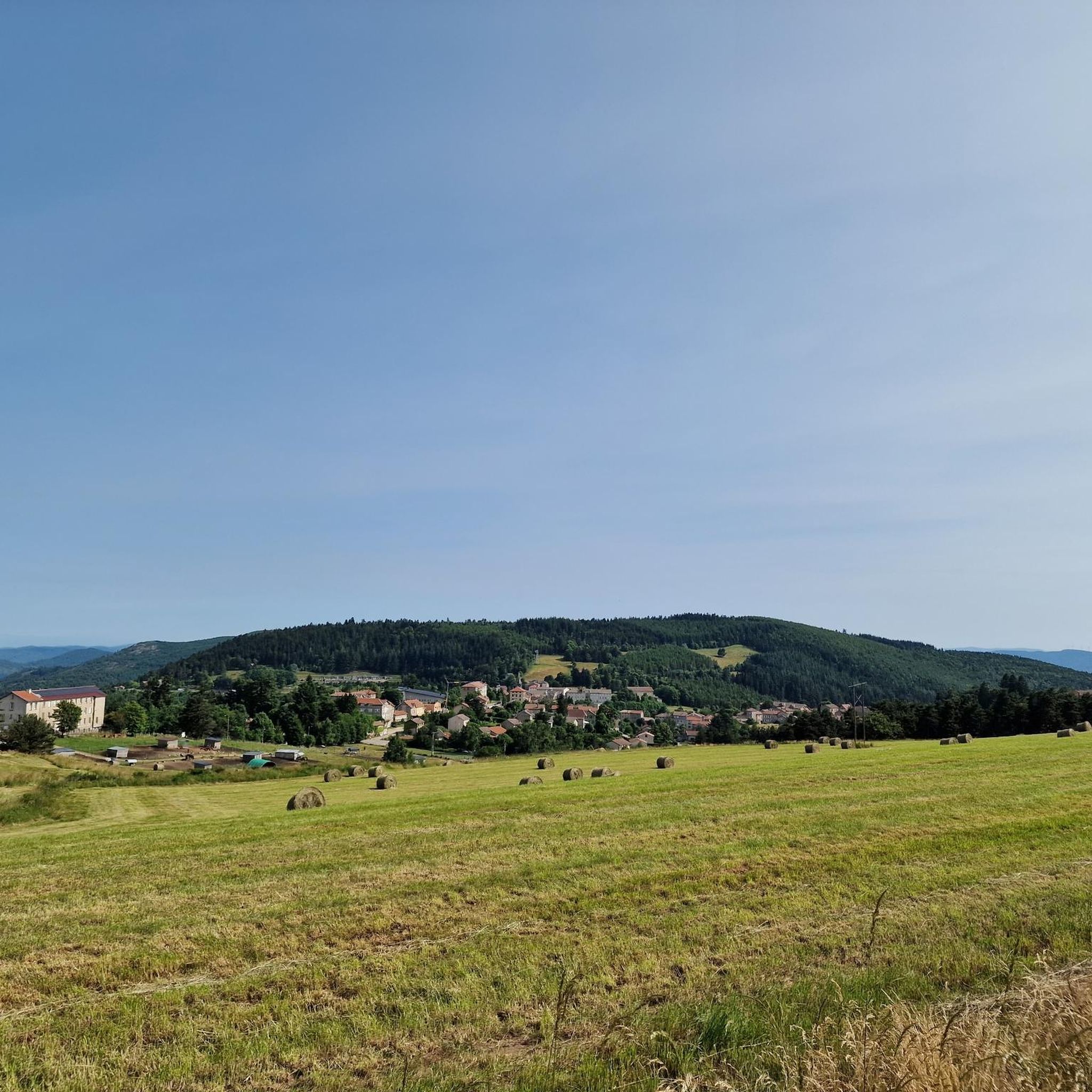
Jogging routes around Satillieu offer diverse landscapes in France's Ardèche department, characterized by varying terrains and elevations. The region is situated at the confluence of the Nant and Malpertuis rivers, providing a mix of historical charm and natural beauty. Joggers can explore marked trails that traverse picturesque surrounding landscapes, including hills and valleys, with proximity to features like the Eyrieux Valley. The area's natural features include significant elevation changes, catering to different fitness levels.
Best jogging routes around Satillieu
- The…
Last updated: July 1, 2026
32
runners
11.4km
01:32
430m
430m
Hard run. Very good fitness required. Mostly paved surfaces. Suitable for all skill levels.
27
runners
46.8km
06:14
1,700m
1,700m
Hard run. Very good fitness required. Mostly paved surfaces. Suitable for all skill levels.

Sign up for free
20
runners
21.9km
02:53
880m
880m
Hard run. Very good fitness required. Mostly paved surfaces. Suitable for all skill levels.
19
runners
21.3km
02:49
830m
830m
Hard run. Very good fitness required. Mostly paved surfaces. Suitable for all skill levels.
18
runners
11.8km
01:27
350m
350m
Hard run. Very good fitness required. Mostly paved surfaces. Suitable for all skill levels.
Get access to more routes and recommendations from other explorers.
Sign up for free
Already have an account?
Our route recommendations are based on thousands of hikes, rides, and runs completed by other people on komoot.
Start today with a free account
Your next adventure awaits.
Login or Signup

Tips from the Community

Beautiful downhill finish for the end of L'Ardéchoise. Be careful at the end of the descent with some very technical turns.
0
1

Very nice route - with a great descent.
1
0

The mountain of Suc de Mirabel is at an altitude of 1161 meters.
0
0
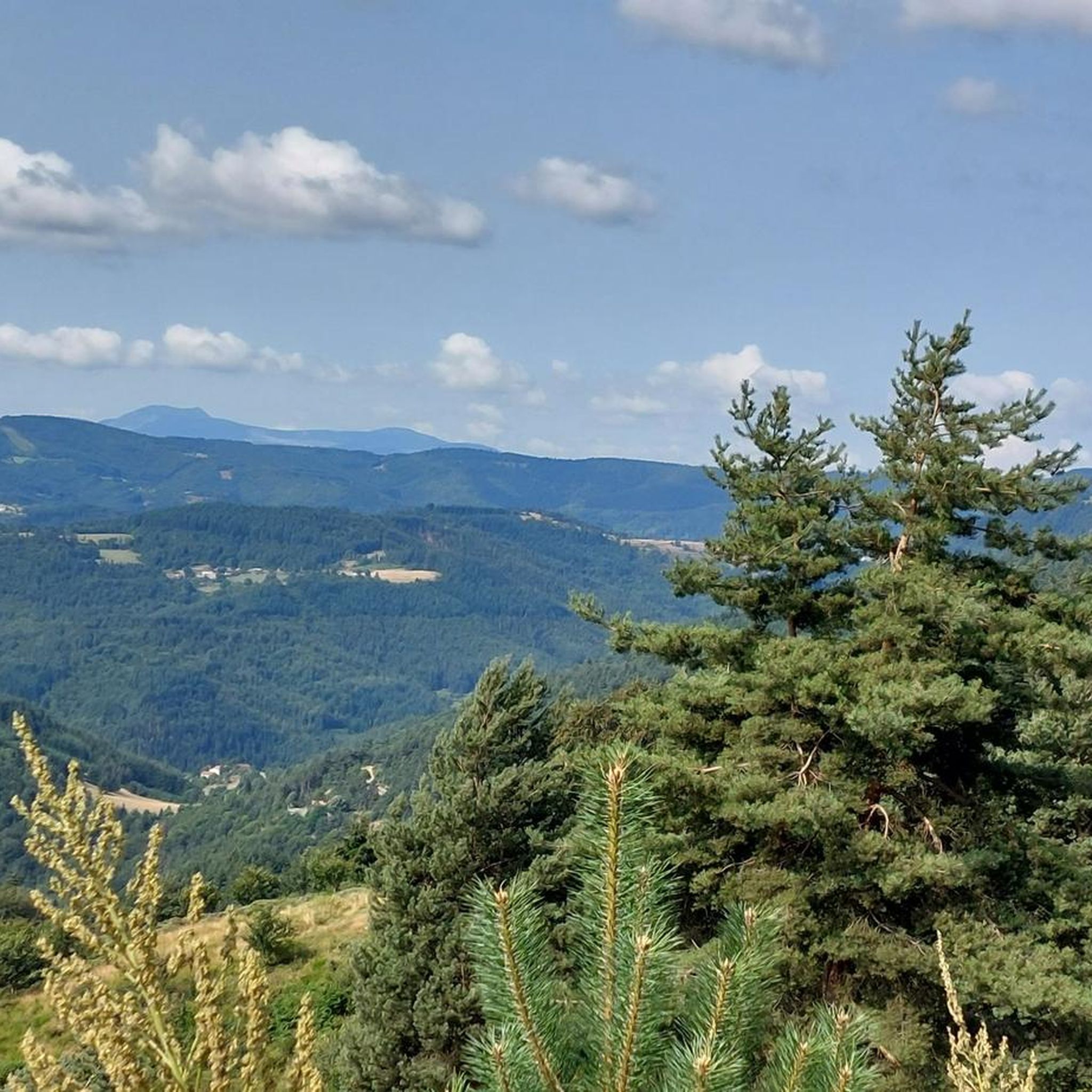
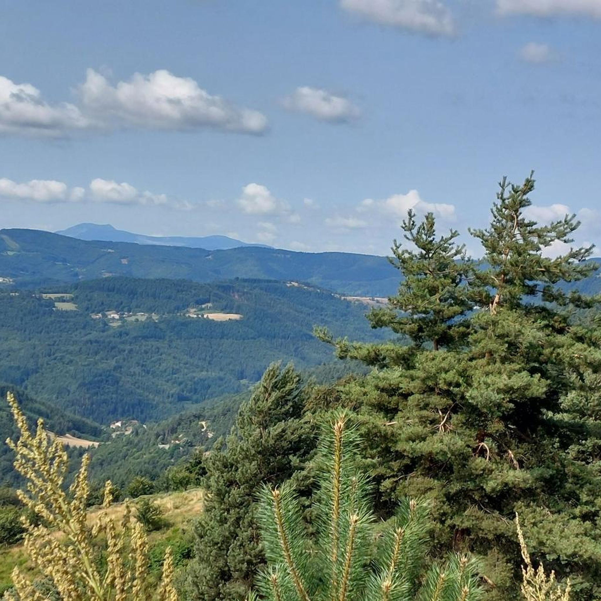
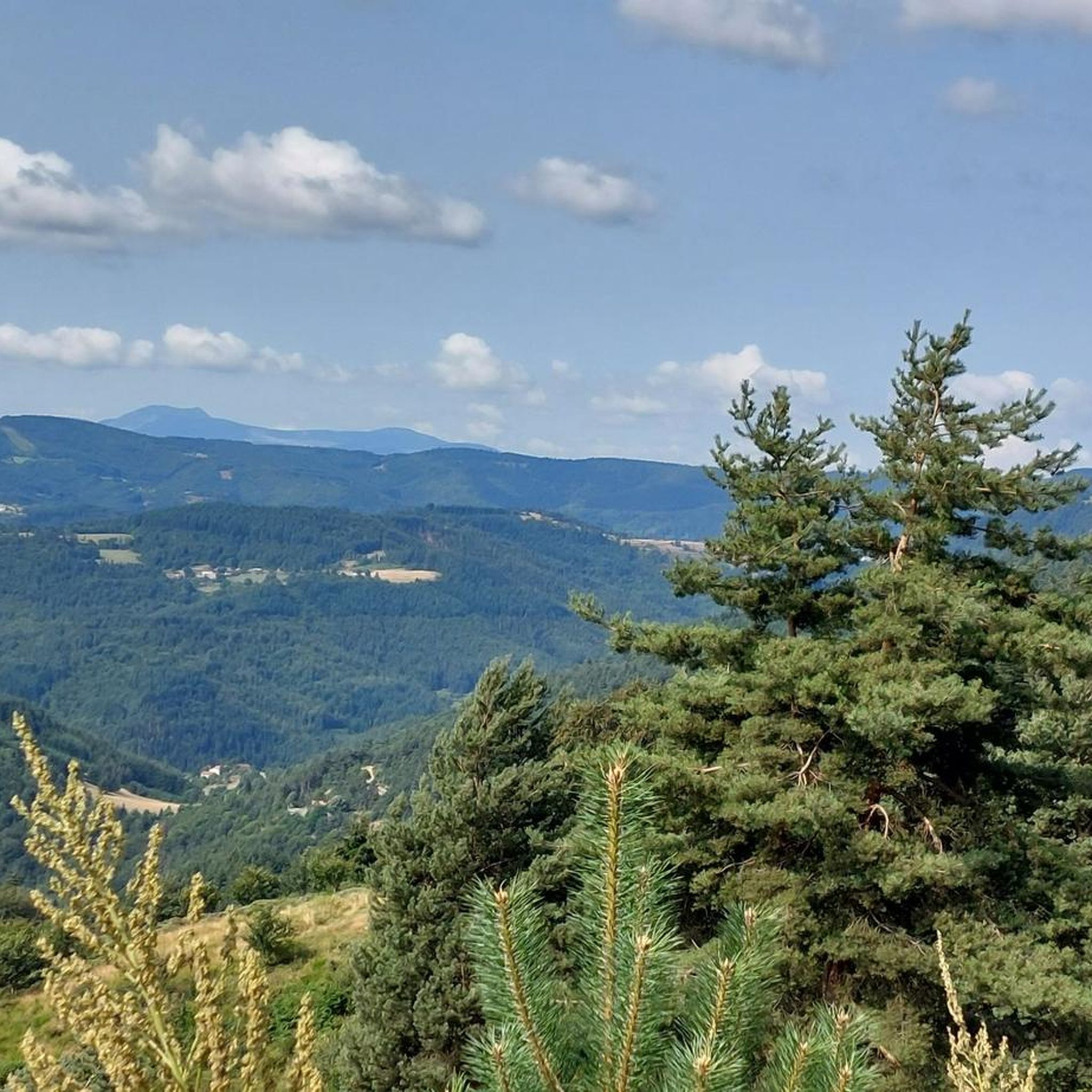
At Le Sardier, the landscapes are revealed and the viewpoints are linked to the chain of the Alps on one side and the Ardèche plateau on the other.
0
0

The Col du Buisson from Saint Félicien is 13km long with a total drop of 377m. The average gradient is 2.9% with maximum gradients of 7.7%.
2
1

A small "highlight" - and a small snack in the Village Miniature, you can also get in for free if you just want to buy something to drink. We were served very friendly and were able to eat the food we had brought with us.
0
0

Nice view, correct access from the village, Be careful, the descent on the forest side promises to be sporty with a lot of stones! Personally, I did not hesitate to lengthen my route a little...
1
0

We came from Orleans in 2021 in memory of this cyclist. We were not the only ones, several hundred people this weekend. Ardéchoise date canceled due to COVID.
1
0
Frequently Asked Questions
How many running routes are available around Satillieu, and what are their difficulty levels?
There are over 100 running routes available around Satillieu. These routes cater to various fitness levels, with 3 easy trails, 64 moderate trails, and 35 difficult trails, ensuring options for every runner.
What kind of terrain can I expect on the jogging trails near Satillieu?
The region around Satillieu offers diverse landscapes with varying terrains and elevations. You can expect picturesque surrounding landscapes, including hills and valleys, often along marked trails. The area is situated at the confluence of the Nant and Malpertuis rivers, and you might encounter features like the Eyrieux Valley. Some routes, particularly the more challenging ones, involve significant elevation changes, traversing areas with ancient volcanoes and mountains.
Are there any family-friendly running routes in Satillieu?
Yes, Satillieu offers easy trails that are suitable for families. These typically cover up to 3 miles with minimal elevation gain (up to 330 feet) and are often on mostly paved surfaces, making them accessible for all fitness levels and younger runners.
Can I bring my dog on the running trails around Satillieu?
While the guide doesn't specify dog rules for every trail, many outdoor areas in France are dog-friendly, especially on marked trails. It's generally recommended to keep your dog on a leash, especially in nature reserves or near livestock, and to always clean up after them. Always check local signage for specific regulations on individual routes.
Are there many circular running routes available in the Satillieu area?
Yes, many of the running routes around Satillieu are designed as loops, allowing you to start and finish at the same point. For example, routes like the Col du Faux – Col du Faux loop from Lalouvesc and the Buisson Pass – Col du Buisson loop from Lalouvesc are popular circular options.
Are there running routes that start directly from Satillieu village?
Yes, there are running routes that originate directly from Satillieu village. For instance, an average-difficulty trail starts from Satillieu and follows the Nant valley, offering a scenic run that includes a historic stop at the Veyrines Romanesque church.
What natural features or landmarks can I see while running near Satillieu?
While running near Satillieu, you can explore various natural features and landmarks. Highlights include the dramatic Gorges and the Cance Valley, and several scenic mountain passes like Buisson Pass and Rouvey Pass. You might also encounter viewpoints such as Chirole Cross, offering expansive views of the surrounding Ardèche landscape.
What do other runners enjoy the most about jogging in Satillieu?
The running routes in Satillieu are highly rated by the komoot community, with an average score of 4.3 stars from over 55 reviews. Runners often praise the varied terrain, significant elevation changes, and the beautiful river valleys. The extensive network of marked routes is also appreciated for offering options for different ability levels, from easy paths to challenging mountain runs.
What is the best time of year for running in Satillieu?
The diverse landscapes of Satillieu make it suitable for running across multiple seasons. Spring and autumn generally offer pleasant temperatures and vibrant scenery. Summer can be warm, so early morning or late afternoon runs are advisable. The region's varying elevations mean conditions can change, so checking local weather forecasts is always a good idea.
Are there challenging long-distance running options around Satillieu?
Yes, for experienced runners seeking a challenge, there are several difficult long-distance options. For example, the Col Robert Marchand (911 m) – Col du Faux loop from Lalouvesc is a demanding 21.2 km (13.2 miles) route with substantial elevation gain, offering extensive exploration through varied terrain and significant climbs.
Are there places to eat or drink in Satillieu after a run?
Satillieu is a charming village with historical character. While specific cafes or restaurants are not detailed in the route information, the village itself provides a setting for exploration, and it's common for French villages of its size to have local establishments where you can find refreshments or a meal after your run.
What are the typical distances and durations for running routes in the area?
Running routes around Satillieu vary significantly in distance and duration. Easy trails might be up to 3 miles, while moderate trails can extend up to 10 miles. Difficult routes often exceed 10 miles, with some, like the Col Robert Marchand (911 m) – Buisson Pass loop from Lalouvesc, reaching nearly 48.6 km (30 miles) and taking several hours to complete.
Most popular attractions around Satillieu

Get inspired with the komoot mobile app


Explore more
Browse the best Running Trails & Routes in other regions.
