The best walks and hikes around Satillieu
4.5
(261)
1,660
hikers
132
hikes
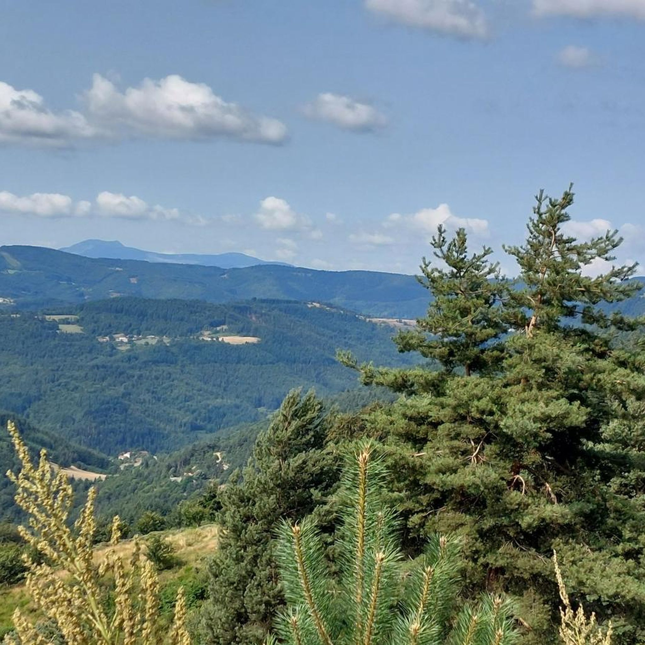
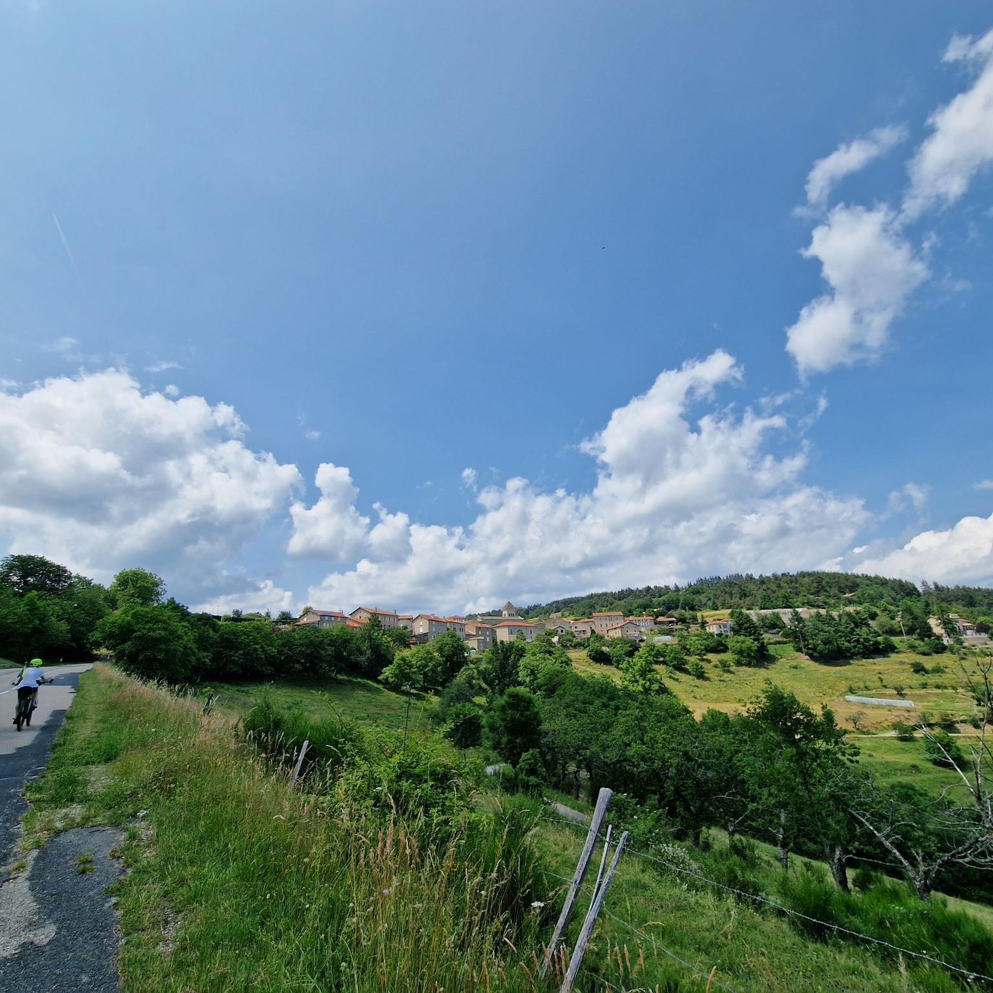
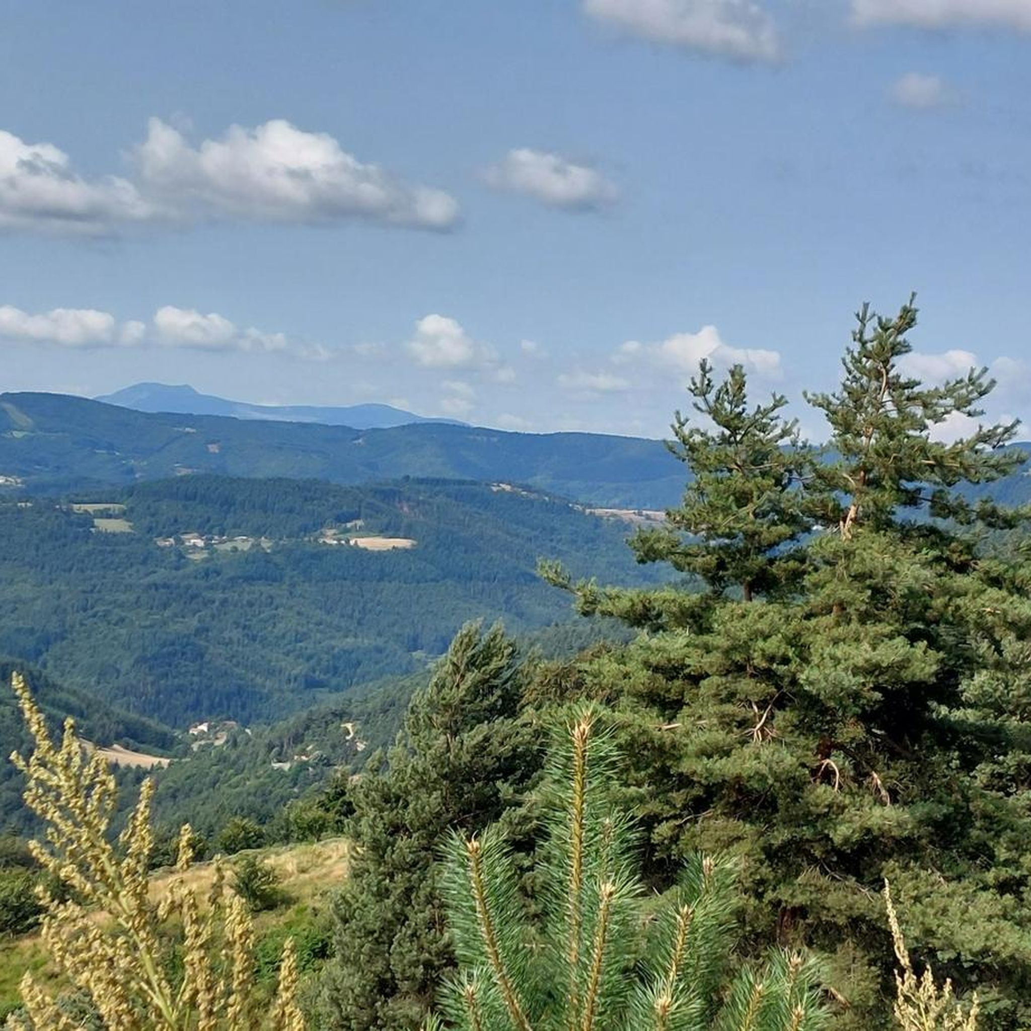
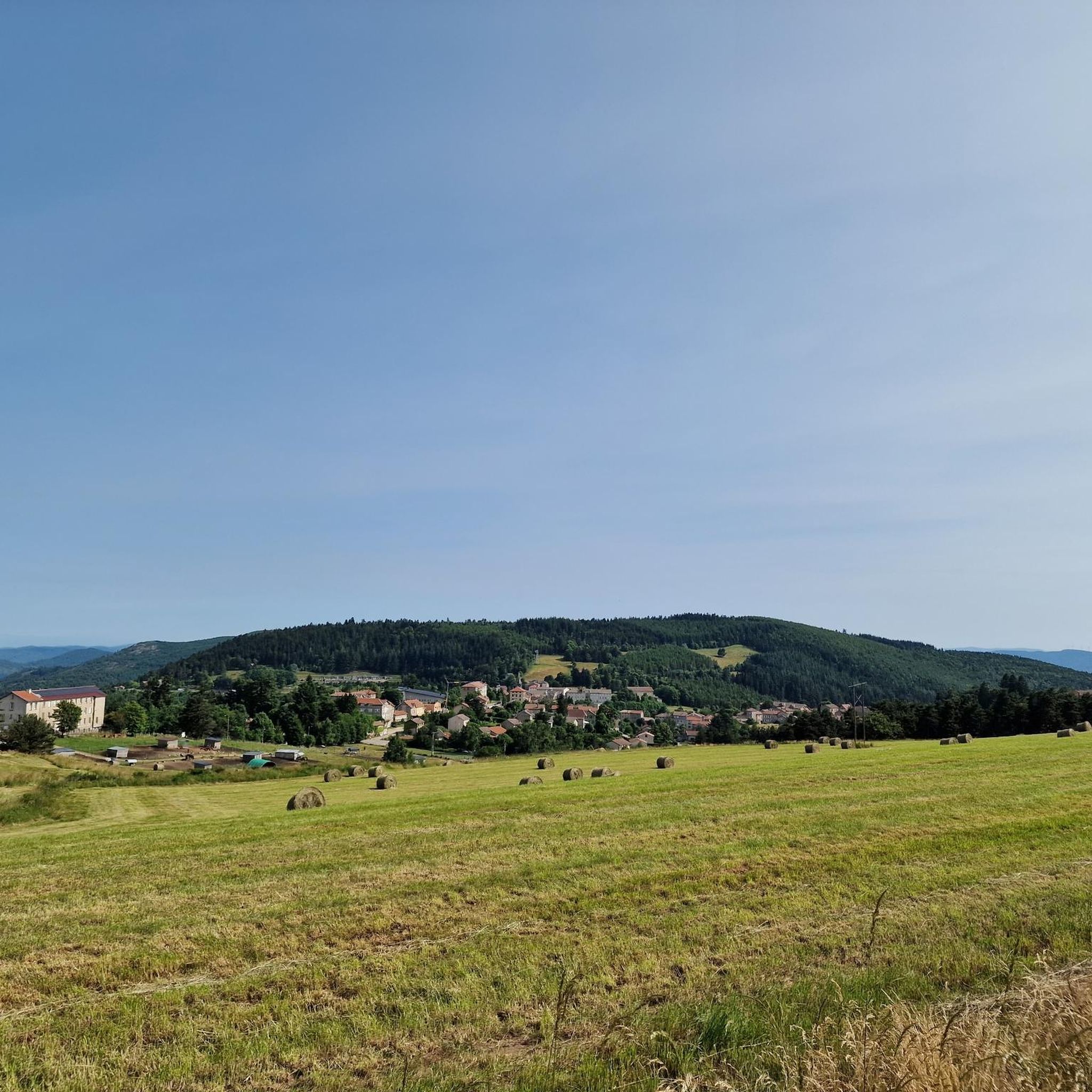
Hiking around Satillieu offers diverse landscapes, from dense forests and expansive pastures to panoramic views of the Rhône Valley and distant Alps. The region is characterized by varied topography, with trails winding along the Nant and Malpertuis rivers. Prominent hills like Mont Sardier and Mont Seray provide rewarding climbs and viewpoints. The Cance Valley also features geological curiosities, adding to the area's natural appeal.
Best hiking trails around Satillieu
- The most popular hiking route is Veyrines Romanesque Church loop from…
Last updated: July 1, 2026
4.2
(5)
30
hikers
11.3km
03:35
470m
460m
Moderate hike. Good fitness required. Easily-accessible paths. Suitable for all skill levels.
4.5
(2)
20
hikers
14.5km
04:22
480m
480m
Moderate hike. Good fitness required. Easily-accessible paths. Suitable for all skill levels.

Sign up for free
4.3
(3)
16
hikers
12.5km
03:53
470m
460m
Moderate hike. Good fitness required. Easily-accessible paths. Suitable for all skill levels.
5.0
(1)
10
hikers
4.02km
01:10
110m
100m
Easy hike. Great for any fitness level. Easily-accessible paths. Suitable for all skill levels.
5.0
(1)
7
hikers
10.5km
03:07
330m
330m
Moderate hike. Good fitness required. Easily-accessible paths. Suitable for all skill levels.
Get access to more routes and recommendations from other explorers.
Sign up for free
Already have an account?
Our route recommendations are based on thousands of hikes, rides, and runs completed by other people on komoot.
Start today with a free account
Your next adventure awaits.
Login or Signup

Tips from the Community

Beautiful hike, be careful, the climb up Chirat Blanc is very rocky. Take the short detour to see the castle ruins, the view is worth it.
0
0

Very nice route - with a great descent.
1
0

At the Col du Faux, you are at an altitude of more than 1000 meters and Mont Mézenc shows itself in all its grandeur while Mont Gerbier de Jonc makes its appearance.
0
0


The Col du Faux from Saint-Félicien is 10.4 km long with a total drop of 481 m. The average gradient is 4.6% with maximum gradients of 8.8%.
2
0

Beautiful pass to discover
0
0

My pilgrimage as soon as I am in the region
1
0
Frequently Asked Questions
How many hiking trails are available around Satillieu?
Satillieu offers a wide variety of hiking experiences, with over 110 trails available. These routes cater to different skill levels, from easy strolls to more challenging ascents.
What kind of landscapes and terrain can I expect while hiking near Satillieu?
Hikers in Satillieu will encounter diverse landscapes, including dense forests, expansive pastures, and trails winding along the Nant and Malpertuis rivers. You can expect varied topography with rewarding climbs to prominent hills like Mont Sardier and Mont Seray, offering panoramic views of the Rhône Valley and even the distant Alps on clear days. The Cance Valley also presents geological curiosities.
Are there any easy or family-friendly hiking options in Satillieu?
Yes, Satillieu has numerous options for easier hikes, with nearly 30 trails classified as easy. These routes are generally suitable for families or those looking for a more relaxed outdoor experience. Many trails explore the gentle valleys and forests around the village.
Can I find challenging hikes near Satillieu?
For those seeking a challenge, Satillieu offers 10 difficult hiking trails. These routes often involve more significant elevation gains and cover longer distances, leading to rewarding viewpoints like those from the Sardier massif or Mont Seray.
What natural features or landmarks can I see along the hiking trails?
Hiking around Satillieu allows you to discover several natural features and landmarks. You can explore the Gorges and the Cance Valley, known for its geological curiosities. Trails also lead to various mountain passes such as Col du Fau (1021 m) and Col Robert Marchand (911 m), offering superb views. The region is also known for its blooming broom in late spring, adding to the scenic beauty.
Are there any circular walks available in Satillieu?
Yes, many of the trails around Satillieu are circular, allowing you to start and end your hike in the same location. An example is the Veyrines Romanesque Church loop from Satillieu, which is a moderate 9.1-mile (14.6 km) route incorporating a historical stop.
What do other hikers enjoy the most about hiking in Satillieu?
The hiking routes in Satillieu are highly rated by the komoot community, with an average score of 4.5 stars from over 220 reviews. Hikers often praise the diverse terrain, from river valleys and dense forests to panoramic viewpoints, and appreciate the variety of options for different ability levels.
Are there any historical sites to explore while hiking?
Absolutely. Satillieu has a rich historical past. You can hike through the Nant valley to visit the Veyrines Romanesque Church. The village itself retains remains of ancient ramparts, and you can even embark on a 'riddle course' through its streets to discover local history.
Are there any hikes that offer panoramic viewpoints?
Many trails in the Satillieu area are renowned for their panoramic views. Hikes around Mont Sardier and Mont Seray, such as the View from Sardier – Col du Fau (1021 m) loop from Mont Besset, provide magnificent vistas of the agricultural foothills, the Rhône Valley, and the distant Alps. The Chirole Cross is another notable viewpoint.
What is the best time of year to go hiking in Satillieu?
The region around Satillieu is beautiful throughout much of the year. Late spring is particularly scenic when the surrounding hills are known for blooming broom. Clear days offer the best chance to see the distant Alps from higher viewpoints.
Are there any long-distance trails accessible from the Satillieu area?
Yes, the nearby town of Lalouvesc serves as a meeting point for the long-distance GR® 420 and 430 trails. These offer opportunities for high-altitude walks and further expansive views, connecting Satillieu to a broader network of regional hiking.
Most popular routes around Satillieu
Most popular attractions around Satillieu

Get inspired with the komoot mobile app


Explore more
Browse the best Hikes in other regions.
