The best running trails around Planay
4.5
(75)
9,145
runners
220
runs
Jogging routes around Planay traverse a mountainous landscape characterized by significant elevation changes and alpine scenery. The region features a mix of forest paths, open valleys, and trails leading to higher elevations. Runners can expect varied terrain, from well-maintained tracks to more rugged mountain paths.
Best jogging routes around Planay
- The most popular jogging route is Running loop from Champagny-en-Vanoise, a 4.4 miles (7.1 km) trail that takes 1 hour 1 minute to complete. This route offers a challenging…
Last updated: October 4, 2026
5.0
(1)
88
runners
7.34km
00:50
130m
130m
Moderate run. Good fitness required. Mostly paved surfaces. Suitable for all skill levels.
5.0
(1)
58
runners
9.73km
01:09
290m
290m
Moderate run. Good fitness required. Mostly paved surfaces. Suitable for all skill levels.

5.0
(2)
43
runners
5.58km
00:49
300m
300m
Hard run. Very good fitness required. Mostly accessible paths. Some sure footedness required.
18
runners
21.0km
03:34
1,160m
1,160m
Hard run. Very good fitness required. Sure-footedness, sturdy shoes and alpine experience required.
3.0
(1)
15
runners
9.54km
01:26
510m
510m
Hard run. Very good fitness required. Mostly accessible paths. Some sure footedness required.
Get access to more routes and recommendations from other explorers.
Already have an account?
Our route recommendations are based on thousands of hikes, rides, and runs completed by other people on komoot.
Start today with a free account
Your next adventure awaits.
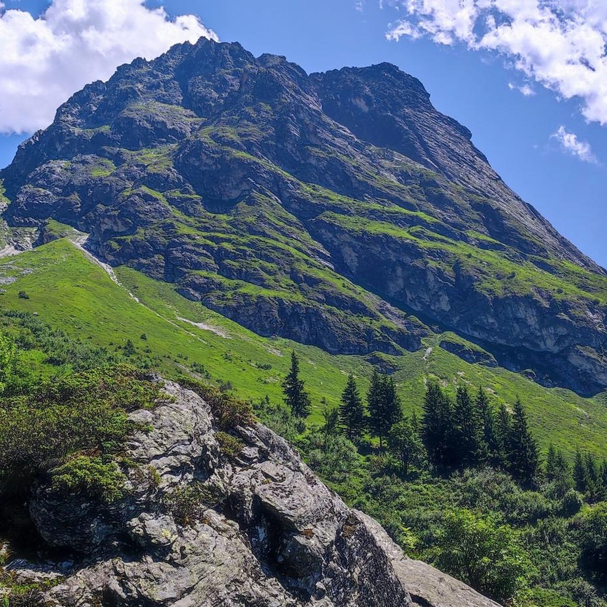
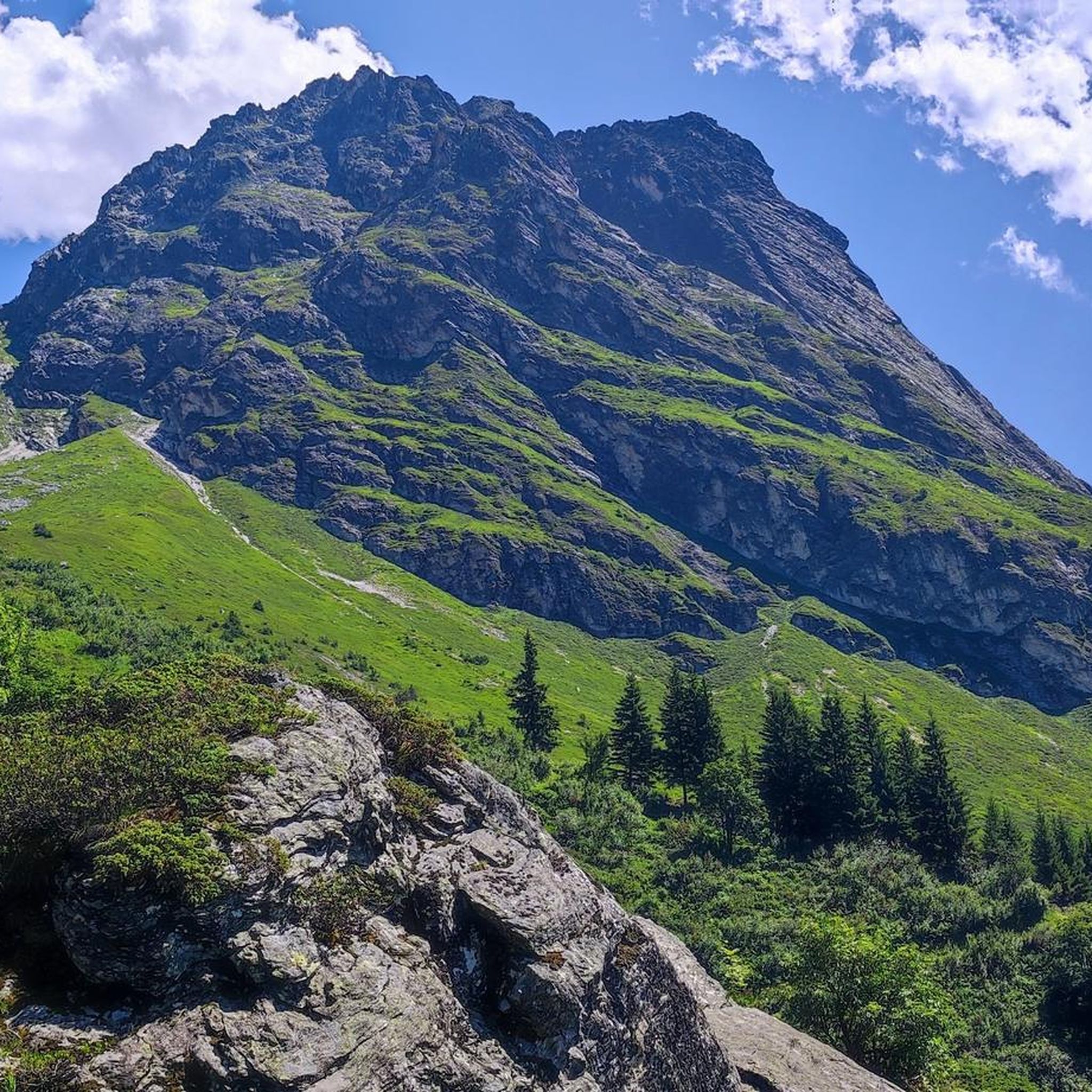
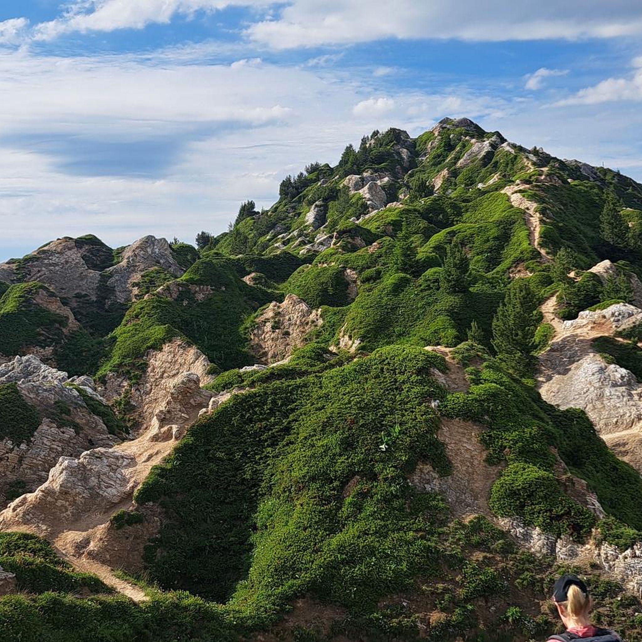
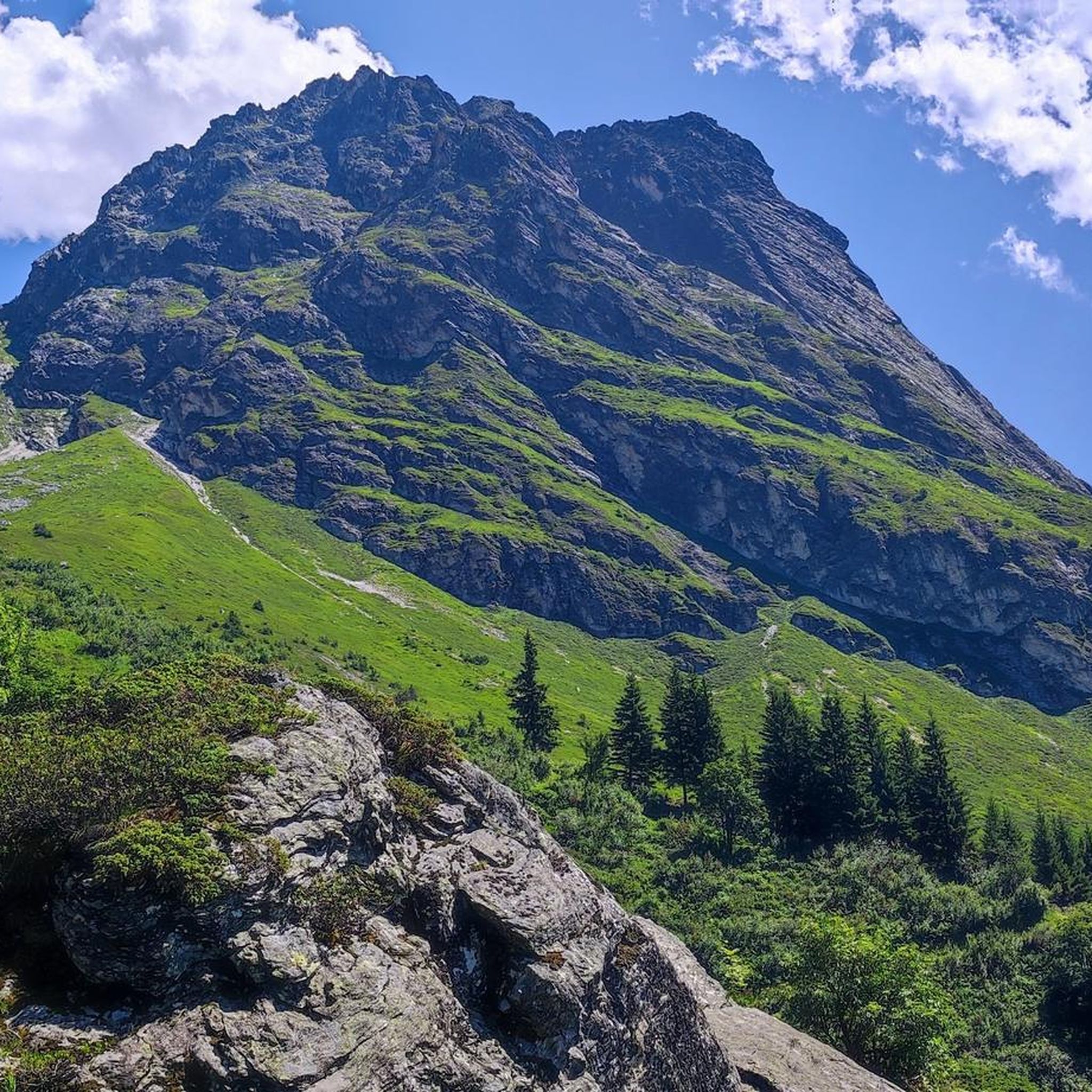

Tips from the Community

Place on the D915, already suffering from through traffic. Some nice corners and a water source at the town hall.
3
0

This pretty refuge is located at an altitude of 2,417 metres, in the heart of the Vanoise park. It is easily accessible from the Col de la Platta car park. The refuge has a single large room, so the 14-bed dormitory is in the same place as the dining room. An intimate atmosphere awaits you! It is also possible to pitch a tent around it, but only by reservation.
0
0
Nestled in the Champigny le Haut valley, this refuge can be the starting point for many hikes. It is open almost continuously throughout the year. You can sleep comfortably and eat in their room where the atmosphere of a mountain chalet reigns. The refuge has PRM access.
0
0

The real high mountain trail, well marked but where you need a sure foot, breathtaking panoramas 🤩 fairy tale lakes, we have here an exceptional must!
0
2

Nice littly mountain hut. Not guarded during winter. Not there is no shower available. you have to wash yourself at the trough
0
0

The Grand Plan chalet is not located at the bottom of the Avals valley but at the bottom of the Champagny-en-Vanoise valley! See map.
0
0

Refuge on the shores of the Merlet lakes, in the Vanoise National Park, surrounded by an exceptional panorama, typically mountain and very welcoming. Quiet haven with little capacity. Guarded in summer and free in winter (wood and gas available).
0
0
The Chalet du Grand Plan is located at the bottom of the Vallée des Avals, the hidden treasure of Courchevel, at the gates of the Parc National de la Vanoise. Varied landscapes ranging from the glacial peaks of the Mont Blanc massif to the green pastures of the Grand Plan and the many surrounding lakes. The area lends itself perfectly to hiking, climbing, mountain biking. Outside the guarded periods in summer, the refuge is completely closed. Nearby, the Lacs Merlets refuge offers a winter refuge area.
0
0
Frequently Asked Questions
Are there easy running routes in Planay for beginners?
While many routes in Planay feature significant elevation changes, there are a few easier options. The region offers 4 easy routes out of over 200, which are generally shorter and have less demanding ascents. These paths often traverse more gentle forest sections or valley floors, providing a good starting point for those new to running in mountainous terrain.
What is the typical length and duration of running trails in Planay?
Running trails in Planay vary significantly in length and duration due to the mountainous terrain. You can find shorter loops, like the Le chatelard loop from Champagny-en-Vanoise, which is about 3.5 miles (5.6 km) and takes under an hour. Longer, more challenging mountain runs, such as the Mont Jovet – La Dent loop from Villard L'Illaz, can extend over 17 miles (27 km) and require several hours to complete.
Are there family-friendly running paths suitable for all ages?
Yes, Planay offers some running paths that are suitable for families, particularly those looking for less strenuous options. These routes tend to be on well-maintained tracks in open valleys or through forested areas with gentler gradients. It's always advisable to check the route's difficulty and elevation profile on komoot before heading out with children.
Can I bring my dog on the running trails in Planay?
Many running trails in Planay are dog-friendly, especially those that traverse forest paths and open valleys. However, it's crucial to keep dogs on a leash, particularly in areas with livestock or protected wildlife. Always ensure your dog is well-behaved and that you clean up after them to preserve the natural environment for everyone.
Are there circular running routes available in Planay?
Yes, many of the running routes in Planay are designed as circular loops, allowing you to start and finish at the same point. A popular example is the Refuge du Bois loop from Champagny-en-Vanoise, which offers scenic views as it winds through the local landscape. Circular routes are convenient for exploring the area without needing to arrange transport back to your starting point.
What kind of scenery can I expect on the running trails around Planay?
Running trails around Planay offer diverse and breathtaking alpine scenery. You'll encounter a mix of dense forest paths, expansive open valleys, and trails that ascend to higher elevations, providing panoramic views of the surrounding mountains. Expect to see rugged peaks, lush meadows, and potentially glimpses of distant glaciers, characteristic of the Vanoise region.
Are there any natural landmarks or points of interest along the running routes?
Absolutely! Planay's running routes often pass by stunning natural landmarks. You might encounter highlights such as the View of Lake Garattaleu, the serene Lozières Lakes, or even reach summits like the Dent du Villard Summit. These natural monuments and peaks add a rewarding element to your run.
When is the best time of year to go running in Planay?
The best time for running in Planay is typically from late spring through early autumn (May to October). During these months, the weather is generally milder, trails are clear of snow at lower elevations, and the alpine flora is vibrant. Higher altitude routes may still have snow patches early in the season, so always check local conditions.
Are there options for winter running in Planay?
Winter running in Planay is possible, but it requires appropriate gear and caution. Many trails will be covered in snow, making them suitable for snowshoeing or cross-country skiing rather than traditional running. However, some lower-elevation paths or cleared routes might be accessible. Always check current snow conditions and avalanche warnings before heading out.
How can I find less crowded running trails in Planay?
To find less crowded running trails in Planay, consider exploring routes that are rated as 'difficult' or those that venture further into the wilderness, as these tend to attract fewer people. Running during off-peak hours (early mornings or late afternoons) or on weekdays can also help you enjoy a more solitary experience amidst the alpine landscape.
Are there running routes in Planay with convenient parking?
Many running routes in Planay, especially those starting from villages like Champagny-en-Vanoise or Villard L'Illaz, offer convenient parking options nearby. It's common for trailheads to be accessible by car, often with designated parking areas. Always check the specific route details on komoot for information on parking availability at the starting point.
Are there cafes or places to refuel near the running trails?
Yes, particularly in the villages and hamlets that serve as starting points for many routes, such as Champagny-en-Vanoise, you'll find cafes, bakeries, and restaurants. Some longer mountain routes might also pass by mountain refuges, like the Refuge des lacs Merlet, where you can often find refreshments during the high season. It's always wise to carry enough water and snacks, especially on longer or more remote runs.
What do other runners say about the trails in Planay?
The running trails in Planay are highly rated by the komoot community, with an average score of 4.5 stars from over 70 reviews. Runners frequently praise the diverse terrain, the stunning alpine views, and the variety of options available for different fitness levels. Many appreciate the challenge of the mountain paths and the tranquility of the forested sections.
Most popular attractions around Planay

Get inspired with the komoot mobile app


Explore more
Browse the best Running Trails & Routes in other regions.
