The best mountain hikes around Planay
5.0
(21)
163
hikers
18
hikes
Mountaineering routes around Planay traverse an alpine landscape characterized by high mountain passes, glacial lakes, and challenging ascents. The region, situated near Pralognan-la-Vanoise, offers a diverse range of terrain, from established paths to more rugged, exposed sections. Elevations vary significantly, providing opportunities for substantial vertical gain.
Best mountaineering routes around Planay
- The most popular mountaineering route is The Salt Road – Lac des Vaches loop from Pralognan-la-Vanoise, a 9.9 miles (16.0 km) trail that takes 6 hours 48 minutes…
Last updated: July 1, 2026
4.8
(4)
50
hikers
Hard mountaineering route. Very good fitness required. Mostly accessible paths. Sure-footedness required.
5.0
(3)
25
hikers
Hard mountaineering route. Very good fitness required. Mostly accessible paths. Sure-footedness required.

Sign up for free
5.0
(1)
10
hikers
10.5km
03:19
440m
440m
Moderate mountaineering route. Good fitness required. Easily-accessible paths. Suitable for all skill levels.
5.0
(2)
8
hikers
10.9km
04:09
730m
730m
Moderate mountaineering route. Good fitness required. Easily-accessible paths. Suitable for all skill levels.
7
hikers
10.3km
05:59
1,030m
1,030m
Hard mountaineering route. Very good fitness required. Sure-footedness, sturdy shoes and alpine experience required.
Get access to more routes and recommendations from other explorers.
Sign up for free
Already have an account?
Our route recommendations are based on thousands of hikes, rides, and runs completed by other people on komoot.
Start today with a free account
Your next adventure awaits.
Login or Signup
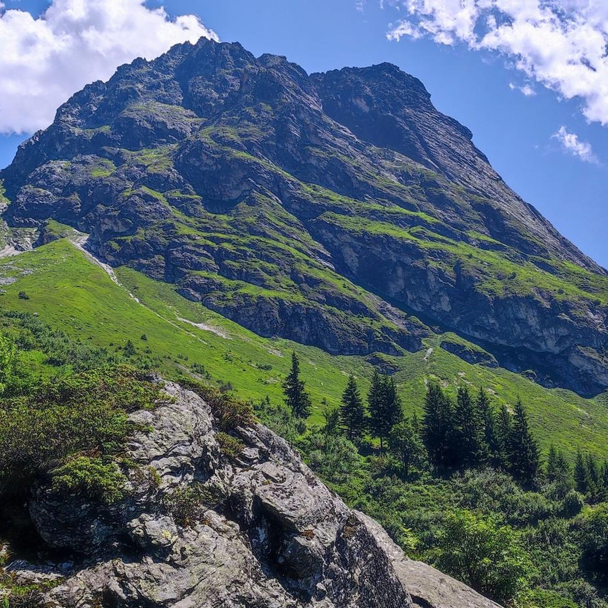
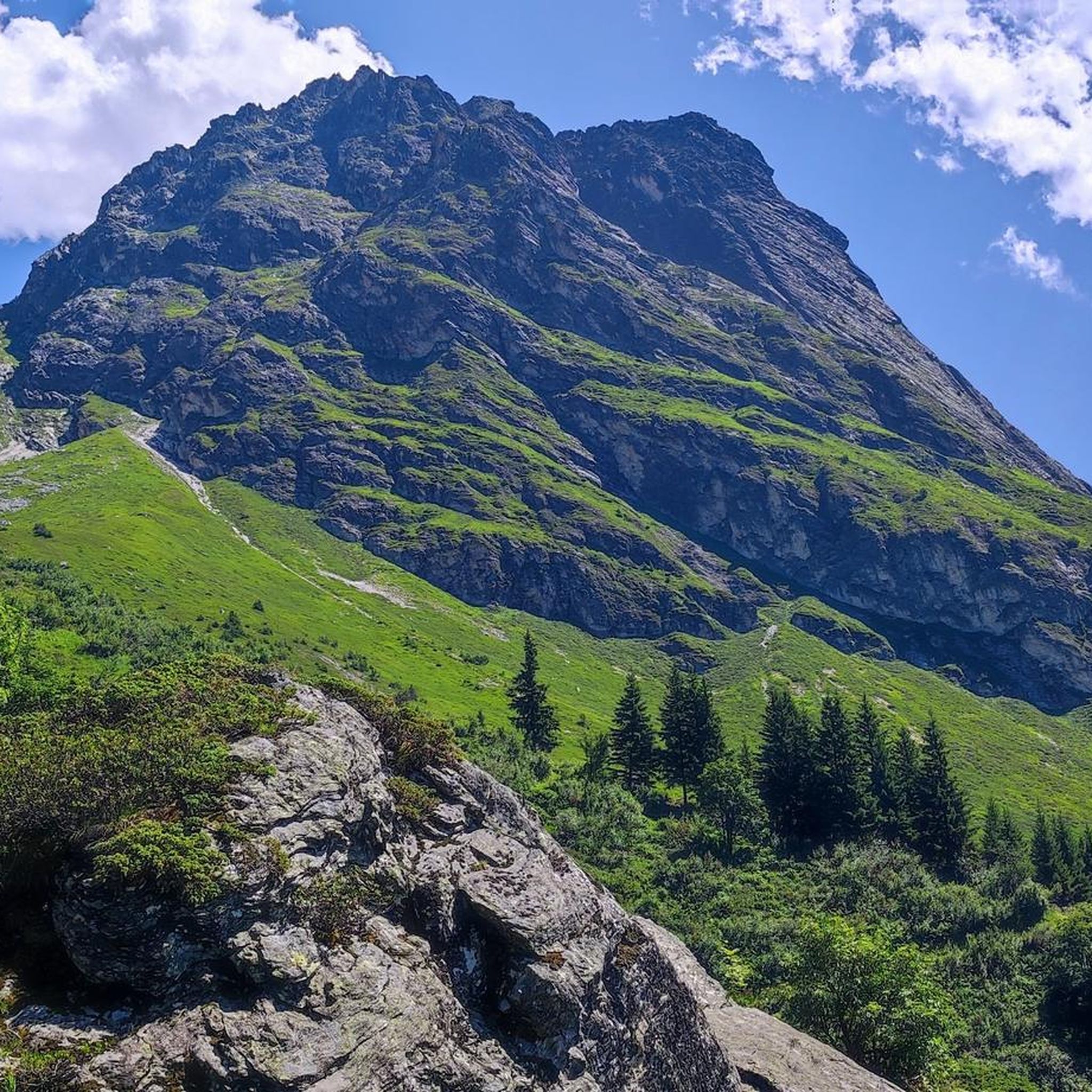
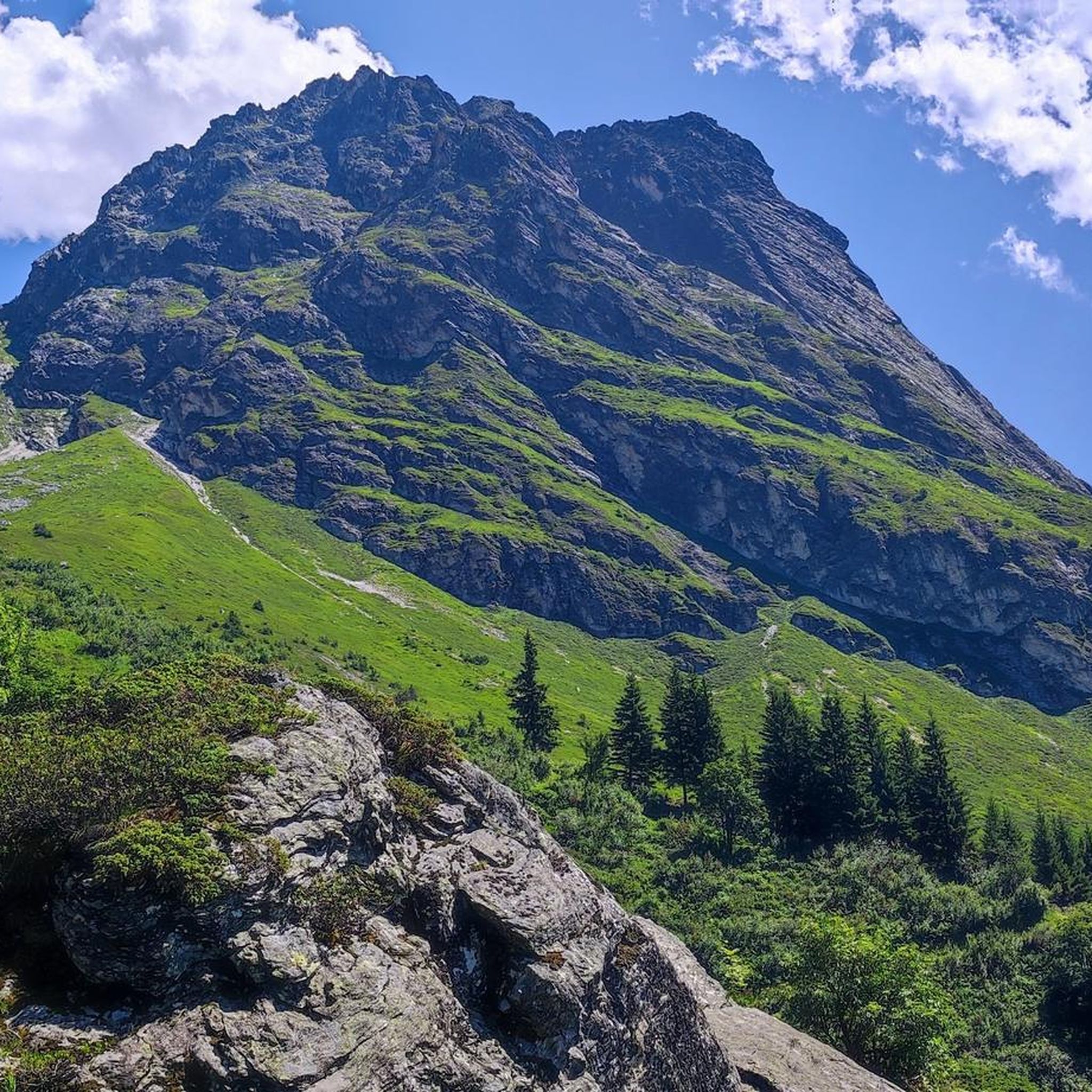
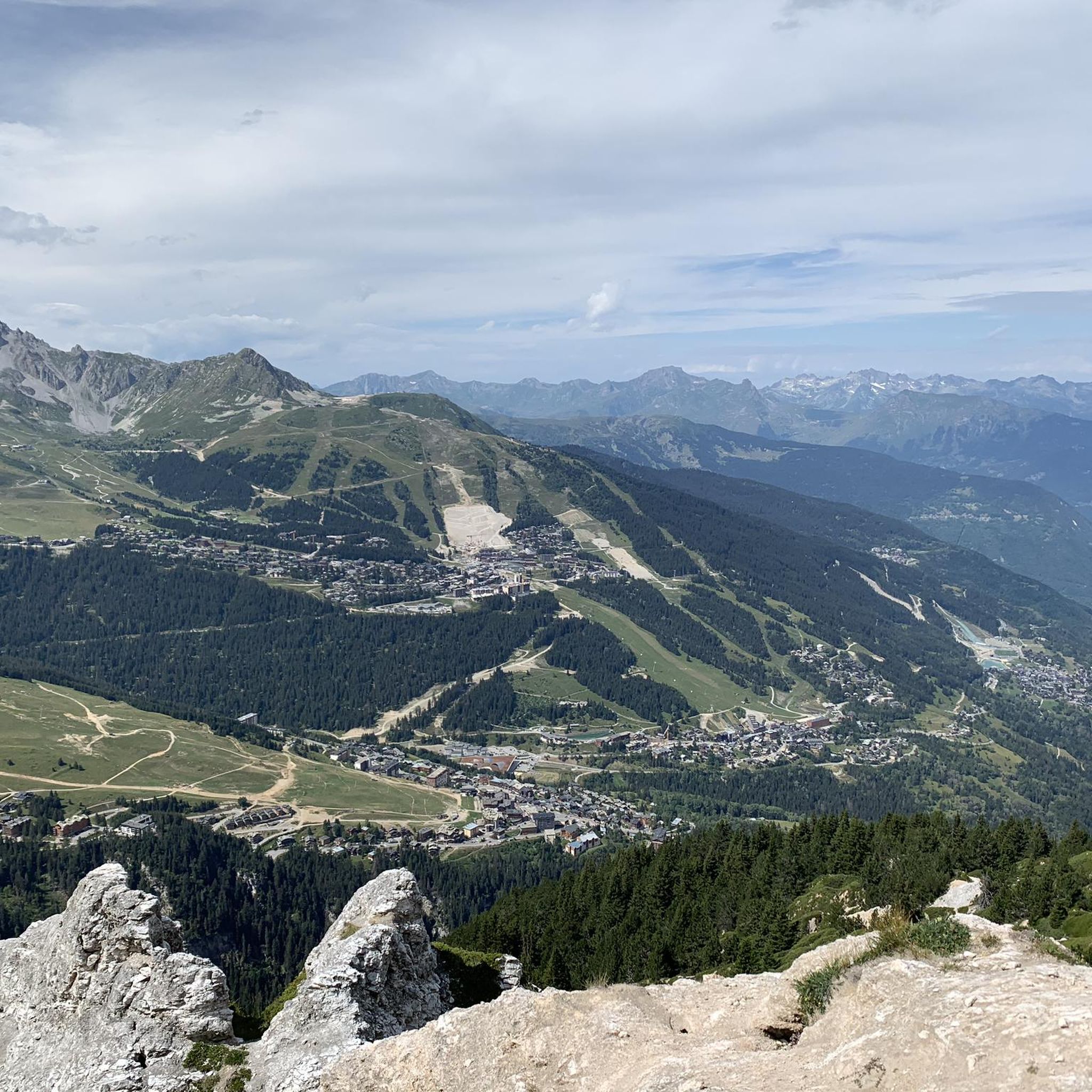

Tips from the Community

The surroundings are beautiful. I'm not very enthusiastic about the refuge itself. There's a very long line upon arrival. You have to leave your room before 8 a.m. Showering is also not possible after that.
0
0


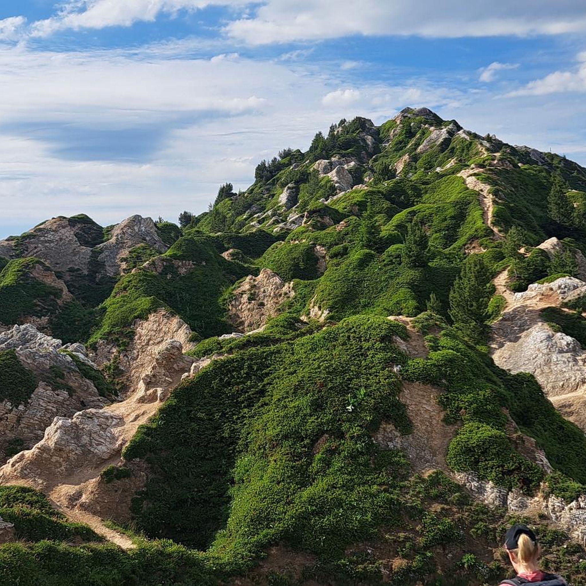
A hike to the Glière refuge offers you an enriching experience in a breathtaking alpine landscape. The trail winds through lush meadows, alongside babbling brooks and beneath towering peaks, offering a mix of serene and spectacular scenery. Once you arrive at the refuge, you will be greeted by breathtaking views of the surrounding mountains, making it an ideal place to rest or have a picnic.
0
0

beautiful place to start the tour de la Vanoise
0
0


Hut that offers drinks and regional dishes for day guests. You can also stay overnight.
0
0
Last year we left Mont Bochor to reach the Barmettes refuge and climb to Lac des Vaches. As the return was on foot to Pralognan we did not go any higher. Last week we took the Genepy chairlift then Lac des Vaches then Lac Long and stopped at the refuge of the Col de la Vanoise. Two or three passages in the snow (~45 min). Nice walk, the climb after the lake seemed easier to me than the first part.
0
0
Frequently Asked Questions
What is the general difficulty level of mountaineering routes around Planay?
Mountaineering routes in Planay are predominantly challenging. Out of 25 available routes, 13 are classified as difficult and 12 as moderate. There are no easy routes in this selection, indicating that a good level of fitness and experience is generally required.
Are there any circular mountaineering routes in Planay?
Yes, many of the routes around Planay are circular, offering varied terrain and views. For example, you can explore The Salt Road – Lac des Vaches loop from Pralognan-la-Vanoise, a difficult 16 km route, or the moderate Lac des Vaches – The Salt Road loop from Pralognan-la-Vanoise.
What kind of terrain can I expect on mountaineering routes near Planay?
The terrain around Planay is characterized by high mountain passes, glacial lakes, and significant ascents. You'll encounter a mix of established paths and more rugged, exposed sections, typical of an alpine environment. Elevations vary considerably, providing opportunities for substantial vertical gain.
What are some notable natural landmarks or points of interest along the routes?
Many routes offer stunning views of natural landmarks. You'll frequently encounter beautiful alpine lakes such as Lake of the Cows and the Lozières Lakes. Mountain passes like the Col de la Loze Summit also offer panoramic vistas.
Are there any mountain huts or refuges available on the mountaineering trails?
Yes, the region features several mountain huts that can serve as rest stops or overnight accommodation. Notable refuges include the Col de la Vanoise Refuge, Refuge du Saut, and Palet Refuge. These can be excellent points to plan your route around.
What do other mountaineers say about the routes in Planay?
The mountaineering routes in Planay are highly regarded by the komoot community, holding an impressive average rating of 4.9 stars from over 40 reviews. Visitors often praise the challenging ascents, the stunning alpine lake views, and the diverse terrain that makes each route unique.
Are there any moderate mountaineering routes suitable for those looking for a less strenuous challenge?
While there are no easy routes, Planay does offer several moderate options. A good example is the Lac des Vaches – The Salt Road loop from Pralognan-la-Vanoise, which is 11.2 km long and features varied terrain with views of the iconic Lac des Vaches. Another moderate option is the Col de Plan Séry – Glière Refuge loop from Le Laisonnay d'En Bas.
What is the best time of year for mountaineering in Planay?
Given the high alpine environment with glacial lakes and mountain passes, the best time for mountaineering in Planay is typically during the summer months, from late June to early September, when snow has largely melted from higher elevations and weather conditions are generally more stable. Always check local weather and trail conditions before heading out.
Are there any routes that offer particularly good views of alpine lakes?
Absolutely. The region is renowned for its beautiful alpine lakes. The Lac des Vaches – View of Lac des Vaches loop from Pralognan-la-Vanoise is a prime example, specifically designed to showcase the stunning Lac des Vaches. Many other routes also pass by or offer views of lakes like Lake Garattaleu and the Lozières Lakes.
How many mountaineering routes are available in the Planay area?
There are over 25 distinct mountaineering routes available around Planay, offering a wide range of experiences for those seeking alpine challenges. These routes are well-documented on komoot, with over 250 mountaineers having used them to explore the region.
Are there any routes that start from Refuge des Barmettes?
Yes, the The Salt Road – Lac des Vaches loop from Refuge des Barmettes is a popular 10.7 km trail that begins from this refuge. It leads through high mountain terrain and is often completed in about 4 hours 28 minutes, offering a challenging yet rewarding experience.
Most popular attractions around Planay

Get inspired with the komoot mobile app


Explore more
Browse the best Mountain Hikes & Routes in other regions.
