The best walks and hikes around Ménessaire
4.5
(760)
3,910
hikers
174
hikes
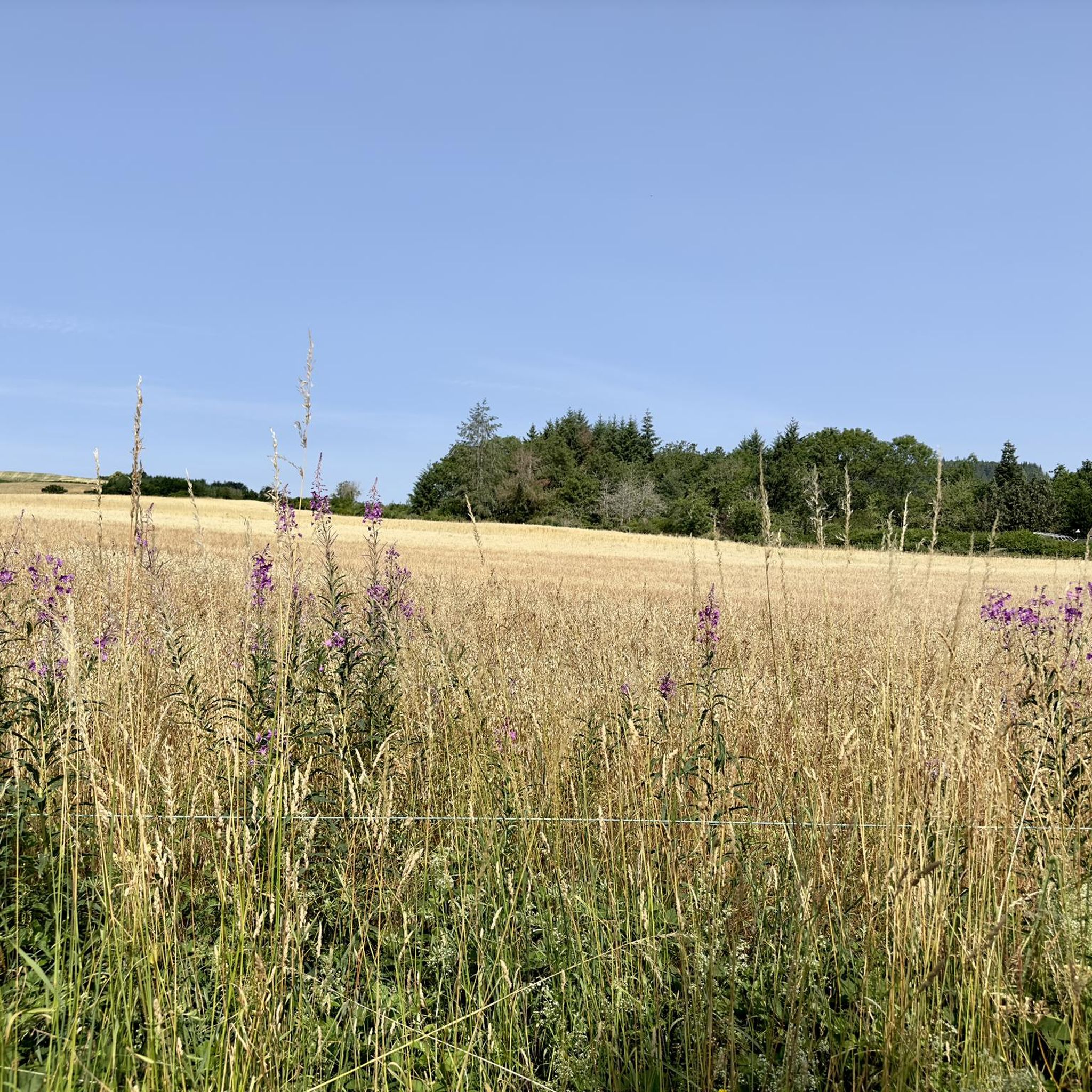
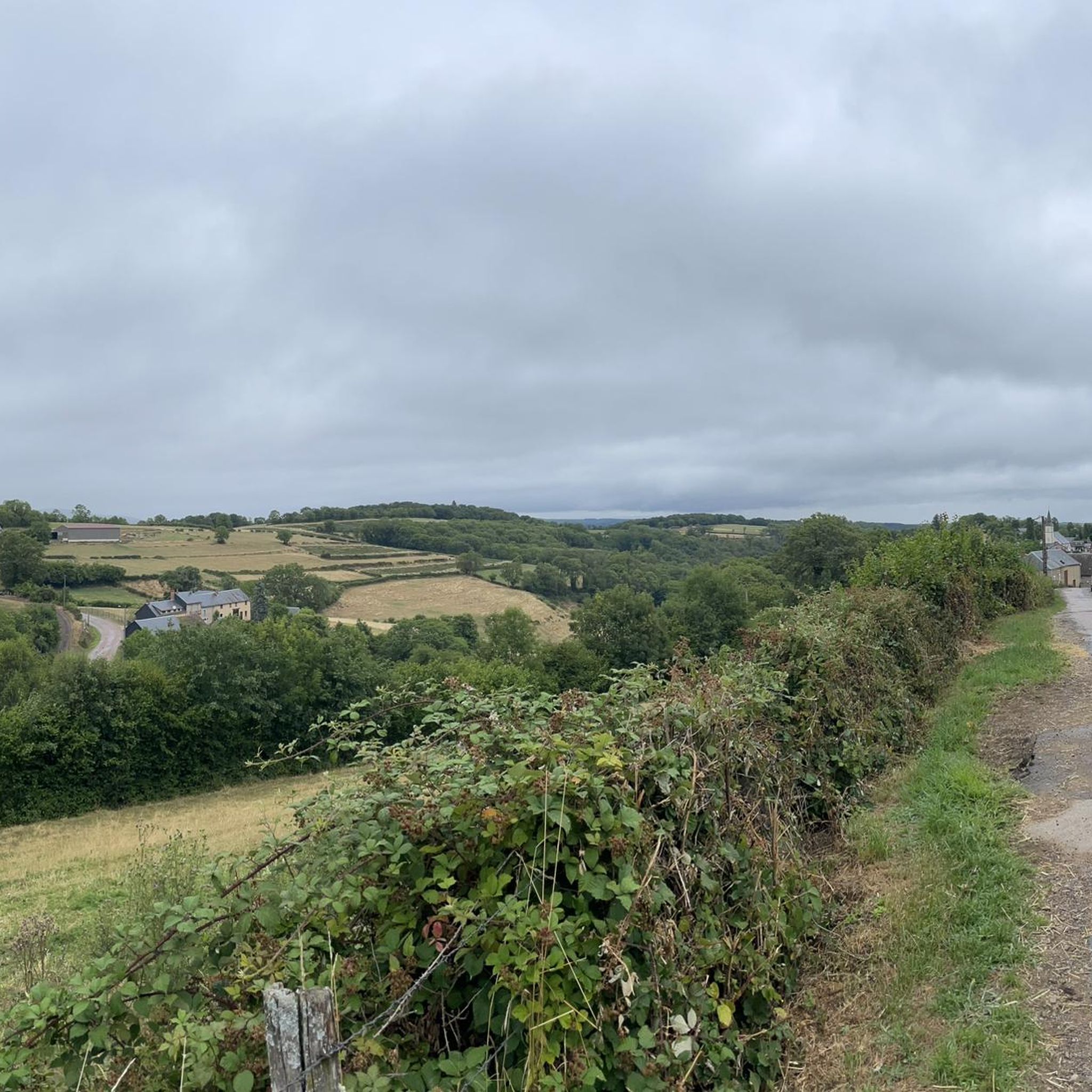
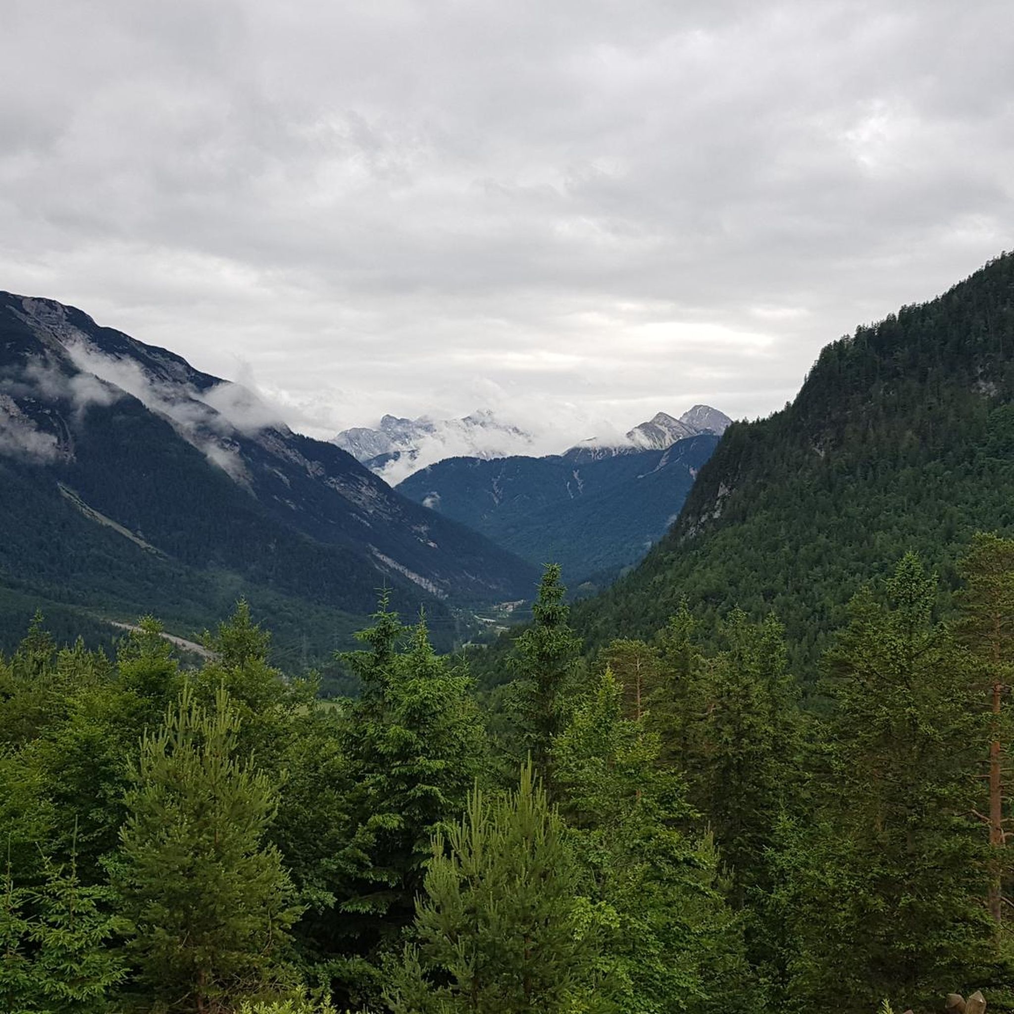
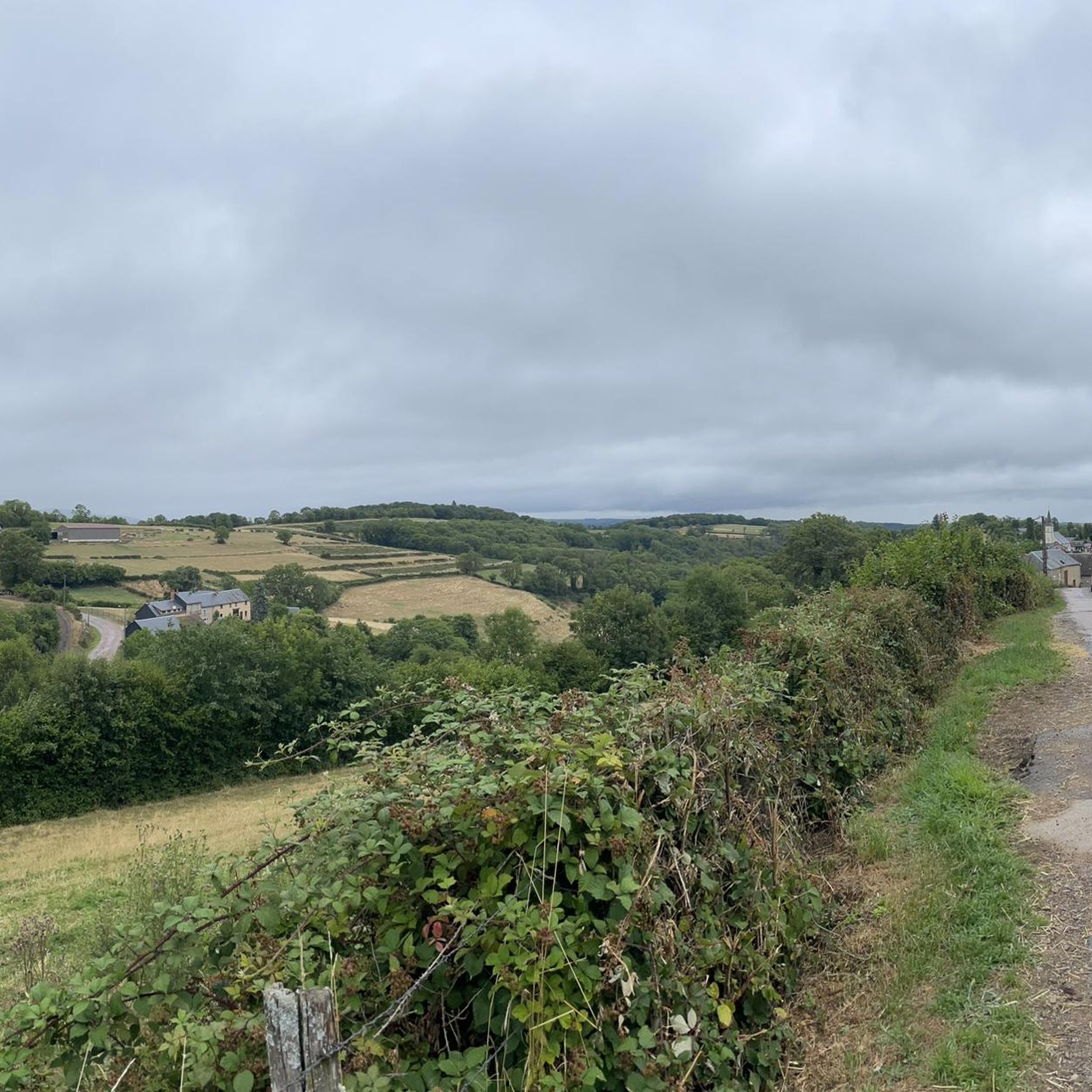
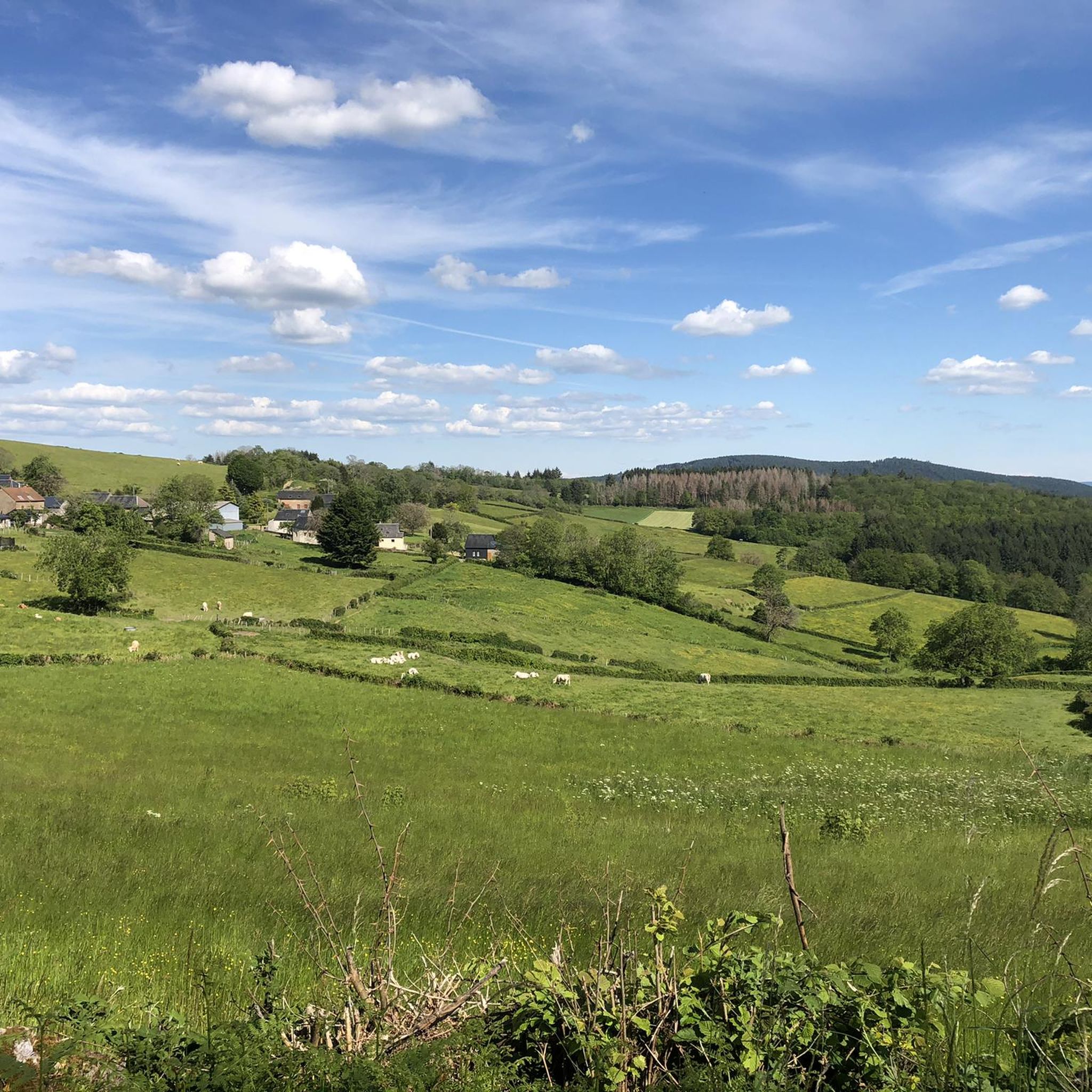
Hiking around Ménessaire offers a diverse landscape characterized by rolling hills, dense woodlands, and a network of streams and rivers. The region, situated within the Morvan Regional Natural Park, features varied terrain suitable for different hiking abilities. Elevations generally remain moderate, providing accessible paths through natural environments and past local villages.
Best hiking trails around Ménessaire
- The most popular hiking route is Maquis des Fiottes loop from Moux-en-Morvan, an easy 4.0 miles (6.4 km) trail that takes 1 hour…
Last updated: October 9, 2026
4.4
(17)
49
hikers
6.94km
02:06
240m
240m
Moderate hike. Good fitness required. Easily-accessible paths. Suitable for all skill levels.
5.0
(3)
20
hikers
Hard hike. Very good fitness required. Easily-accessible paths. Suitable for all skill levels.

4.4
(5)
13
hikers
9.68km
02:44
210m
210m
Moderate hike. Good fitness required. Easily-accessible paths. Suitable for all skill levels.
5.0
(15)
11
hikers
3.89km
01:05
70m
70m
Easy hike. Great for any fitness level. Easily-accessible paths. Suitable for all skill levels.
6
hikers
17.3km
04:37
190m
190m
Moderate hike. Good fitness required. Easily-accessible paths. Suitable for all skill levels.
Get access to more routes and recommendations from other explorers.
Already have an account?
Our route recommendations are based on thousands of hikes, rides, and runs completed by other people on komoot.
Start today with a free account
Your next adventure awaits.
Tips from the Community

This place offers a beautiful panorama of the Morvan hills, just above the Lac des Settons, located a short distance away.
0
0

Wear good hiking shoes, many paths with stones
0
0

Beautiful and very pleasant for a break!
0
0

Lake Sentons is the most famous lake in Morvan: fishing, water sports and walking.
0
0

Lake Settons, located in the heart of the Morvan Regional Natural Park, is a true paradise for nature lovers and outdoor enthusiasts. Surrounded by forests and verdant hills, this artificial lake offers numerous opportunities: swimming, sailing, kayaking, and hiking along its peaceful shores. Its well-equipped beaches are ideal for a family day out.
0
0

Lac des Settons is a lovely lake with plenty of places to picnic
0
0
According to the sign there are supposed to be otters here
0
1

Exclave of Menessaire and the highest point of Côte d'Or a little corner of paradise lost in the Morvan
0
0
Frequently Asked Questions
How many hiking trails are available around Ménessaire?
There are over 150 hiking trails around Ménessaire, offering a wide variety of options for all skill levels. This includes 73 easy routes, 75 moderate routes, and 8 more challenging paths.
Are there any easy, circular walks suitable for beginners?
Yes, Ménessaire offers several easy, circular walks perfect for beginners. For example, the Cussy-en-Morvan loop from Cussy-en-Morvan is an easy 2.4-mile (3.9 km) trail that takes about an hour to complete, leading through the village and its immediate vicinity.
What are the options for more challenging hikes in the Ménessaire area?
For those seeking a challenge, Ménessaire has several difficult routes. A notable option is the Anost – Saint-Germain Church loop from Ménessaire, which spans 16.5 miles (26.6 km) with significant elevation gain, offering a demanding full-day adventure.
What kind of views or natural features can I expect on hikes around Ménessaire?
Hiking around Ménessaire offers diverse scenery, characterized by rolling hills, dense woodlands, and a network of streams and rivers within the Morvan Regional Natural Park. You can also find interesting man-made features like the Settons Lake Dam or scenic spots like the Wooden Footbridge on the Lake.
Are there any family-friendly hiking routes near Ménessaire?
Many of the easy routes around Ménessaire are suitable for families. The region's moderate elevations and well-maintained paths make it accessible. Consider routes like the Cussy-en-Morvan loop from Faye, an easy 3.8-mile (6.1 km) trail that provides a pleasant outing for all ages.
What do other hikers enjoy most about the trails in Ménessaire?
The trails in Ménessaire are highly rated by the komoot community, with an average score of 4.5 stars from over 600 reviews. Hikers often praise the diverse landscape, the tranquility of the woodlands, and the well-maintained paths that cater to various skill levels.
Are there any specific attractions or landmarks to look out for on the trails?
Yes, several routes offer views of local landmarks. For instance, the Ménessaire Castle loop from Ménessaire provides views of the local castle and surrounding countryside. Other points of interest in the wider area include the Col de la Croix de Chèvre.
Is public transport available to access hiking trails around Ménessaire?
Access to hiking trails around Ménessaire primarily relies on personal vehicles due to the rural nature of the Morvan Regional Natural Park. Public transport options directly to trailheads are limited, so planning for car access is generally recommended.
What is the typical length and duration of hikes in this region?
Hikes around Ménessaire vary significantly in length and duration. Easy routes, such as the Maquis des Fiottes loop from Moux-en-Morvan, are about 4.0 miles (6.4 km) and take under two hours. Longer, more challenging trails can extend over 16 miles (26 km) and require a full day.
Are there any specific recommendations for winter hiking in Ménessaire?
Winter hiking in Ménessaire is possible, but conditions can vary. The region's rolling hills may experience snow and ice, especially at higher elevations. It's advisable to check local weather forecasts, wear appropriate winter gear, and stick to well-marked, lower-elevation trails. Some paths might become muddy or slippery.
What should I wear for hiking near Ménessaire in spring?
Spring weather in Ménessaire can be unpredictable, with a mix of sunshine, rain, and cooler temperatures. Layering is key: wear moisture-wicking base layers, a warm mid-layer, and a waterproof and windproof outer shell. Sturdy, waterproof hiking boots are also recommended due to potentially muddy trails.
Most popular routes around Ménessaire
Most popular attractions around Ménessaire

Get inspired with the komoot mobile app


Explore more
Browse the best Hikes in other regions.
