The best running trails around Détain-Et-Bruant
4.3
(23)
1,216
runners
112
runs
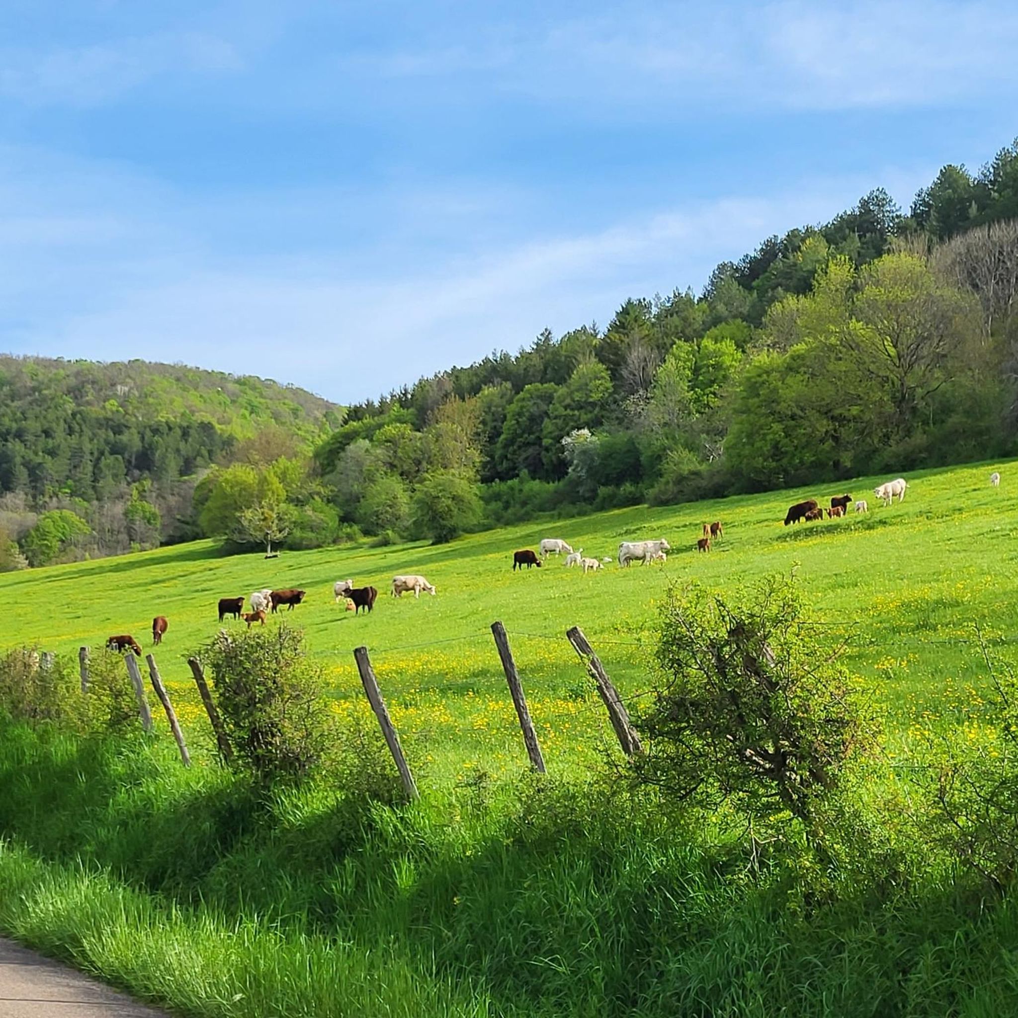
Jogging around Détain-Et-Bruant offers diverse terrain across its elevated position in the Côte-d'Or department. The region is characterized by extensive forests, including the Forêt Domaniale de Détain-Gergueil, and interspersed dry prairies and limestone lawns. With an average altitude of 580 meters, the landscape features a vast karstic plateau and several dry valleys, known as "combes," providing varied elevation changes for runners.
Best jogging routes around Détain-Et-Bruant
- The most popular jogging route is Running loop from Bouilland, an 11.5 miles…
Last updated: August 29, 2026
17
runners
19.0km
02:41
700m
710m
Hard run. Very good fitness required. Sure-footedness, sturdy shoes and alpine experience required.
3.0
(2)
6
runners
5.79km
00:42
120m
130m
Moderate run. Good fitness required. Mostly paved surfaces. Suitable for all skill levels.

Sign up for free
5
runners
10.7km
01:10
210m
210m
Moderate run. Good fitness required. Mostly paved surfaces. Suitable for all skill levels.
4
runners
8.98km
01:10
330m
330m
Hard run. Very good fitness required. Mostly paved surfaces. Suitable for all skill levels.
5.0
(1)
4
runners
5.76km
00:41
150m
150m
Moderate run. Good fitness required. Mostly paved surfaces. Suitable for all skill levels.
Get access to more routes and recommendations from other explorers.
Sign up for free
Already have an account?
Our route recommendations are based on thousands of hikes, rides, and runs completed by other people on komoot.
Start today with a free account
Your next adventure awaits.
Login or Signup

Tips from the Community

Embark on the Sentier Marianne for a rewarding hike through a lush forest landscape. This trail offers a mix of shaded wooded paths and open viewpoints, making it a pleasant route for nature lovers. As you approach the Grotte de la Phiboute, take some time to explore this intriguing cave, which will add a touch of adventure to your hike. The trail is well marked and allows for a peaceful escape and immersion in a serene natural environment.
1
0

The site is beautiful and well documented. A beautiful shelter built for the excavation teams allows you to take a break in the shelter if the weather is acting up 😉
2
0
From the 2nd century AD, this Gallo-Roman site was open to the public. Located in the forest of Arcenant, it was discovered in the 1980s. It is a small but important establishment which served as a relay at the junction of a main road.
4
0
Frequently Asked Questions
How many running routes can I find around Détain-Et-Bruant?
There are over 100 dedicated running routes available in the Détain-Et-Bruant area, offering a wide variety of distances and difficulty levels for all types of runners.
What kind of terrain can I expect on the jogging trails in this region?
The terrain around Détain-Et-Bruant is quite varied due to its elevated position. You'll encounter extensive forests, including the Forêt Domaniale de Détain-Gergueil, open prairies, and ecologically significant limestone lawns. The landscape also features a vast karstic plateau and several dry valleys, known as 'combes,' which provide interesting elevation changes and scenic beauty. Expect a mix of shaded paths and open, expansive spaces.
Are there any easy or moderate running routes suitable for beginners or a relaxed jog?
Yes, the region offers many moderate options. For a pleasant, shorter run, consider the Running loop from Chevannes, which is 3.6 miles (5.8 km) long and offers views of the surrounding plateaus and prairies. Another moderate choice is the Grotte du Maître loop from Saint-Jean-de-Bœuf, a 6.6 miles (10.7 km) trail through the karstic landscape and valleys.
What do other runners enjoy most about the trails in Détain-Et-Bruant?
The running routes in Détain-Et-Bruant are highly rated by the komoot community, with an average score of 4.3 stars from over 20 reviews. Runners often praise the diverse terrain, from dense forests to open prairies, and the varied elevation changes that make for engaging runs. The natural beauty and peaceful atmosphere of the region are frequently highlighted.
Are there any challenging running routes for experienced runners seeking a workout?
Absolutely. For a more demanding run, the Running loop from Bouilland is a difficult 11.5 miles (18.6 km) trail with significant elevation gain, winding through extensive forests. Another challenging option is the Marianne trail loop from Bouilland, a 9 km route with notable ascents and descents.
Can I find circular running routes in the area?
Yes, many of the running routes around Détain-Et-Bruant are designed as loops, allowing you to start and finish at the same point. Examples include the Grotte de La Grande Dore loop from Bouilland and the Running loop from Chevannes, both offering convenient circular paths.
Are there any scenic viewpoints or natural attractions along the running trails?
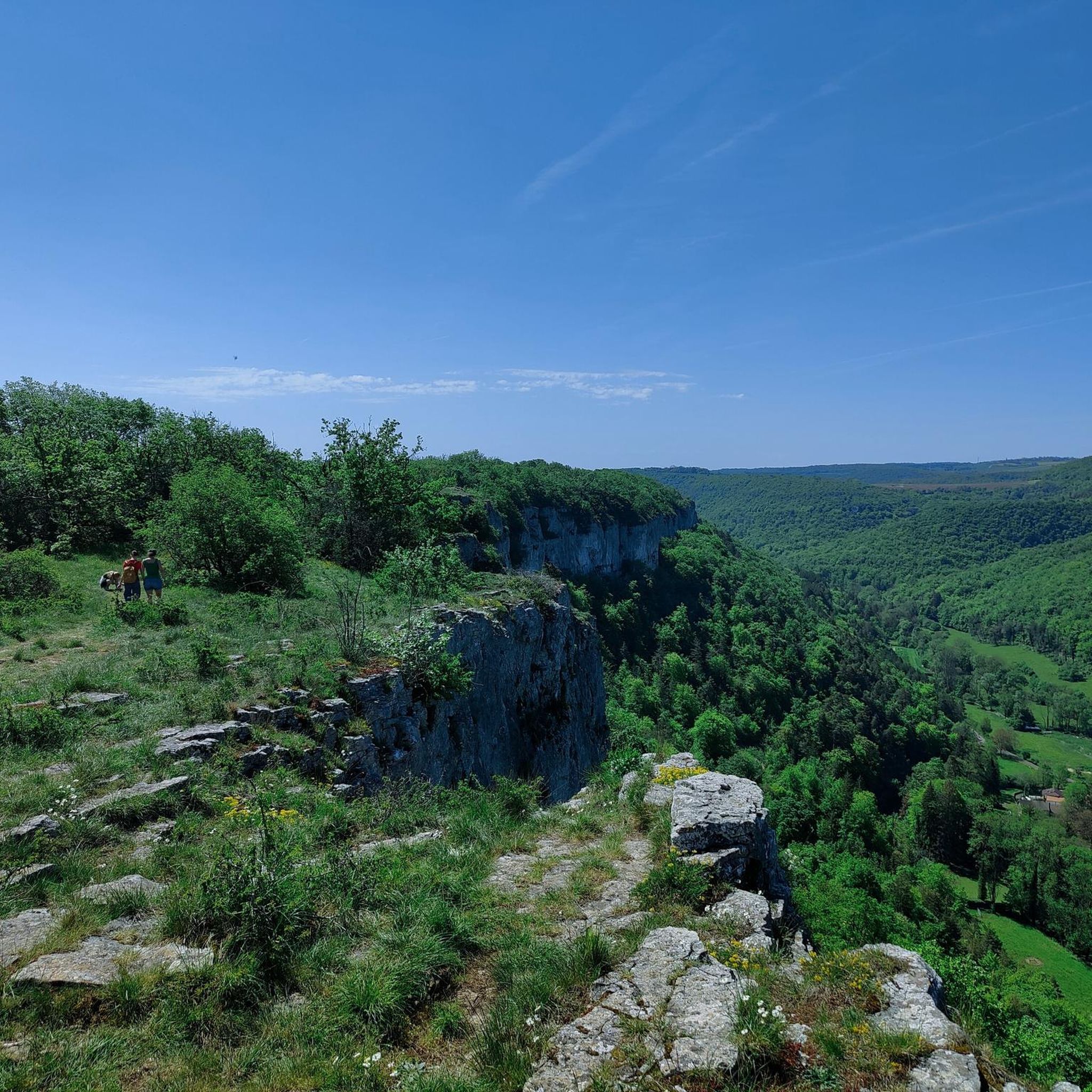
Yes, the region is rich in natural beauty. You can find several scenic spots, such as the Viewpoint at the Southern End of the Crête Marianne, offering expansive vistas. The area is also known for its karstic landscape, with features like the Tufa Spring by the Roadside. The Hautes-Côtes de Nuits, a UNESCO World Heritage cultural landscape, also offers picturesque vineyard views on some routes.
What is the best time of year to go running in Détain-Et-Bruant?
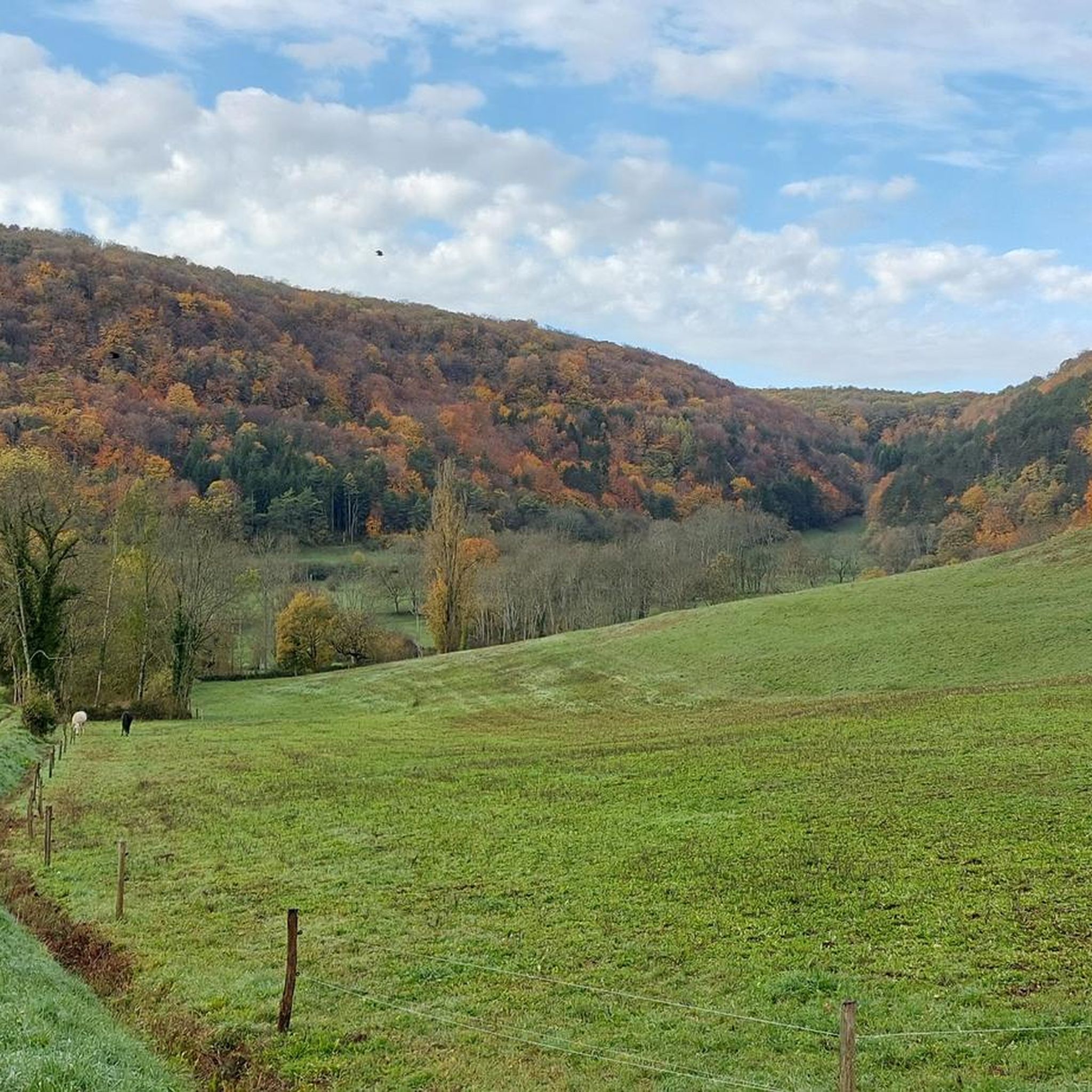
Détain-Et-Bruant's elevated position means it experiences varied weather. While it can have more significant snow, cold, and precipitation than lower plains, it rarely experiences fog. Spring and autumn offer pleasant temperatures and beautiful scenery with changing foliage. Summer provides shaded forest routes, ideal for avoiding the heat. Winter running is possible, but be prepared for colder conditions and potential snow.
Are there any historical or cultural landmarks to see while running?
While the focus is on natural landscapes, the region does have some interesting points. The area is part of the Hautes-Côtes de Nuits, known for its vineyards. You might also encounter historical elements like lavoirs (washhouses) and even megalithic sites on some trails. The Barbirey Castle and Gardens is another notable attraction nearby.
Are the running routes in Détain-Et-Bruant suitable for families?
Many of the moderate routes are suitable for families, especially those with older children who enjoy outdoor activities. The varied terrain and natural features, such as forests and prairies, provide an engaging environment. For a less strenuous option, look for routes with lower elevation gain. Always check the route's difficulty and length to ensure it matches your family's fitness level.
Is it possible to bring my dog on the running trails?
Generally, dogs are welcome on many outdoor trails in France, especially in natural areas like the forests and prairies around Détain-Et-Bruant. However, it's always best to keep your dog on a leash, especially in areas with wildlife or near agricultural land, and to check for any specific local regulations or protected areas that might have restrictions. Please ensure you clean up after your pet.
Are there options for parking near the trailheads?
While specific parking information for every trailhead isn't always detailed, many villages and popular starting points for hiking and running routes in rural areas like Détain-Et-Bruant typically offer public parking facilities. It's advisable to check the starting point of your chosen route on komoot for any specific parking recommendations or nearby village parking options.
Most popular routes around Détain-Et-Bruant
Most popular attractions around Détain-Et-Bruant

Get inspired with the komoot mobile app


Explore more
Browse the best Running Trails & Routes in other regions.
