The best road cycling routes around La Chaux
4.5
(47)
1,303
riders
80
rides
Road cycling around La Chaux features a landscape characterized by rolling hills, forested areas, and river valleys, offering varied terrain for cyclists. The region's routes often include climbs to cols and descents through scenic countryside. This area provides a mix of moderate and challenging road cycling routes, with some easier options available. The elevation changes across the routes reflect the Jura mountain foothills.
Best road cycling routes around La Chaux
- The most popular road cycling route is Chemin du Train…
Last updated: July 7, 2026
5.0
(3)
98
riders
34.5km
01:34
380m
380m
Moderate road ride. Good fitness required. Mostly well-paved surfaces and easy to ride.
33
riders
45.2km
02:32
930m
930m
Hard road ride. Very good fitness required. Mostly well-paved surfaces and easy to ride.

Sign up for free
4.5
(2)
30
riders
Moderate road ride. Good fitness required. Mostly well-paved surfaces and easy to ride.
18
riders
Moderate road ride. Good fitness required. Mostly well-paved surfaces and easy to ride.
26
riders
39.3km
02:10
790m
790m
Moderate road ride. Good fitness required. Mostly well-paved surfaces and easy to ride.
Get access to more routes and recommendations from other explorers.
Sign up for free
Already have an account?
Our route recommendations are based on thousands of hikes, rides, and runs completed by other people on komoot.
Start today with a free account
Your next adventure awaits.
Login or Signup

Tips from the Community

The Syratu waterfall in Mouthier-Haute-Pierre
0
0

Not suitable for children. Very dangerous, but beautiful. Recommended for adults who are not afraid of heights.
0
0

Typo? Needs to be corrected... right?
0
0

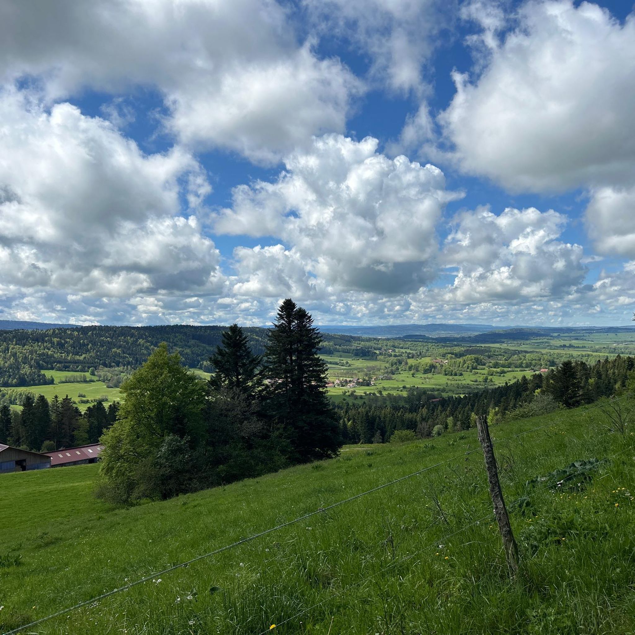
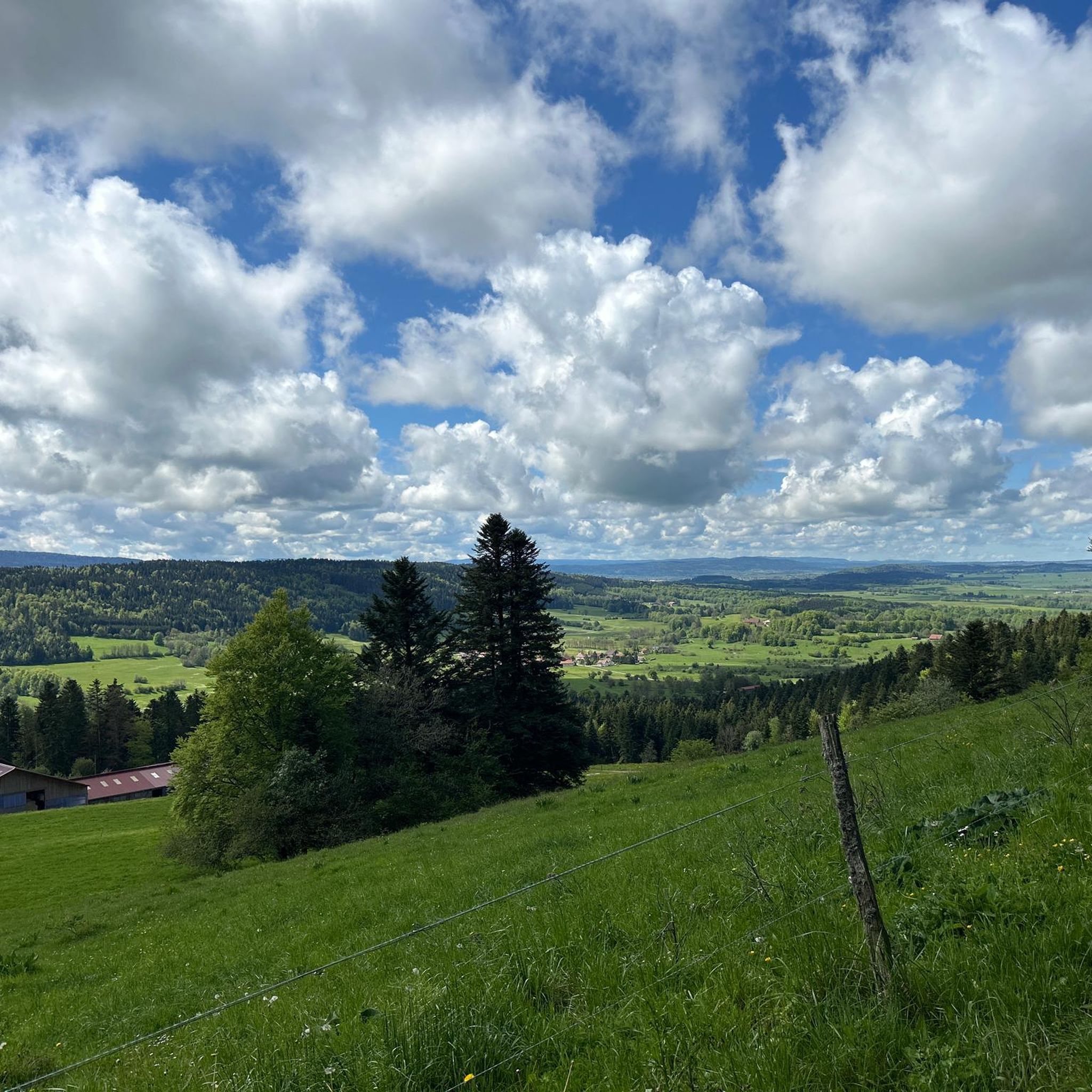
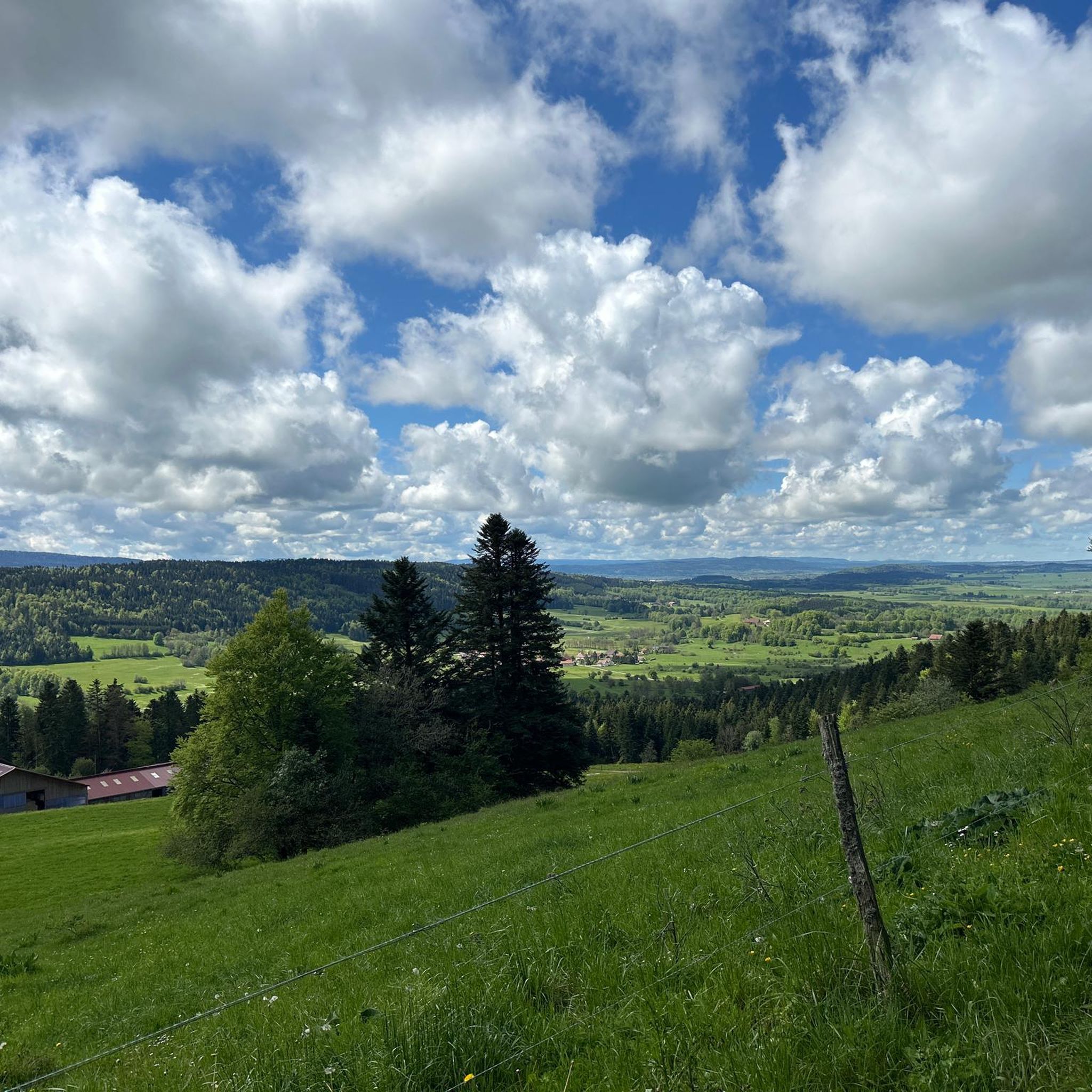
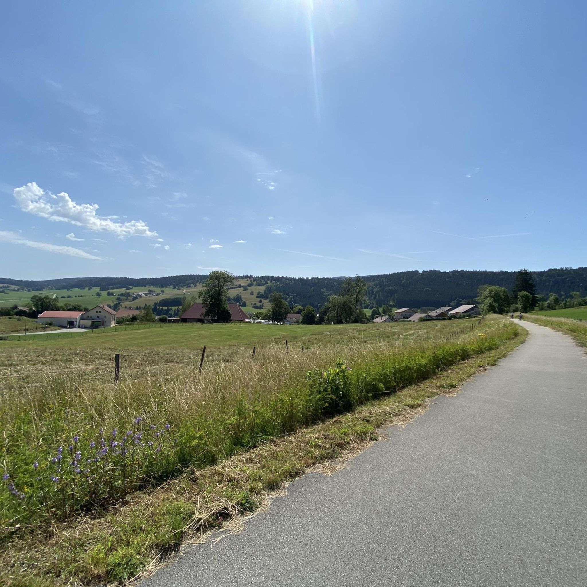
Beautiful greenway on the old railway line in the heart of the natural environment of Haut-Doubs. The views overlooking the Doubs valley are magnificent.
1
0

The Cascade de Syratu is an impressive waterfall that cascades over the rocky cliffs of the Baume above Mouthier-Haute-Pierre in the Doubs department. With a total height difference of 230 metres, it is the largest waterfall in the department. The waterfall consists of several levels: The upper part begins with an almost vertical drop of 50 metres from the edge of the plateau at a height of 600 metres. This is followed by a second vertical drop of 32 metres, which brings the water to the level of the road. The lower part of the waterfall extends over a wooded slope and ends at the Loue river, where there are several waterfalls covered with tufa. To get a general view of the waterfall, you should climb up the left bank after crossing the old bridge over the Loue. The middle part of the waterfall is visible from the road that goes up to the gorges. The lower part, with its wild tuff massifs, can be reached on foot via paths that start on either side of the small bridge over the Syratu stream.
8
0


It's just a lot of fun
0
0
The route length is also great
0
0
Frequently Asked Questions
What kind of terrain can I expect on road cycling routes around La Chaux?
Road cycling around La Chaux is characterized by a diverse landscape of rolling hills, forested areas, and river valleys. You'll encounter varied terrain, including climbs to cols and descents through scenic countryside, reflecting the Jura mountain foothills.
How many road cycling routes are available in the La Chaux region?
There are nearly 90 road cycling routes available around La Chaux, offering a wide range of options for different skill levels and preferences.
Are there road cycling routes suitable for beginners in La Chaux?
Yes, La Chaux offers several easier road cycling options. There are 6 routes specifically categorized as easy, providing a good starting point for beginners to enjoy the region's scenery.
What are some challenging road cycling routes in La Chaux?
For experienced cyclists seeking a challenge, La Chaux has 40 difficult routes. One notable option is the Col sur le Mont – Lac des Taillères loop from Pays-de-Montbenoît, which features significant climbs and stunning lake views over 45 kilometers.
Are there circular road cycling routes in La Chaux?
Many of the road cycling routes in La Chaux are designed as loops. For example, the popular Chemin du Train – Chemin du Train near Doubs loop from Montbenoît follows a historic railway path and river, offering a moderate 34-kilometer ride.
What do other road cyclists enjoy most about the routes in La Chaux?
The road cycling routes in La Chaux are highly rated by the komoot community, with an average score of 4.6 stars from nearly 50 reviews. Cyclists often praise the varied terrain, scenic views, and the mix of moderate and challenging options available.
Are there any scenic viewpoints along the road cycling routes in La Chaux?
Yes, the region offers several scenic spots. You might encounter viewpoints like the Renédale Viewpoint, which provides expansive vistas of the surrounding landscape, perfect for a break during your ride.
What natural attractions can I see while road cycling around La Chaux?
The area boasts several natural highlights. You can explore the Source de la Loue or the Source du Pontet, both fascinating cave systems. The Gorges de Noailles also offer dramatic scenery.
Are there any longer road cycling routes for endurance training in La Chaux?
For longer rides, consider routes like the Chemin du Train near Doubs – Source of the Loue loop from Pays-de-Montbenoît, which spans over 60 kilometers with significant elevation changes, ideal for building endurance.
What is the typical elevation gain on road cycling routes in La Chaux?
Elevation gains vary significantly across routes due to the region's hilly terrain. Moderate routes can have around 300-800 meters of ascent, while difficult routes, such as the Col sur le Mont – Lac des Taillères loop, can feature over 900 meters of climbing.
Can I find routes that pass through specific landmarks or points of interest?
Yes, many routes offer opportunities to see local landmarks. For instance, some paths might take you near the Col sur le Mont, a well-known point in the area, or past the intriguing Cave of the Counterfeiters.
Are there road cycling routes that follow river valleys in La Chaux?
Absolutely. The region's geography includes several river valleys. Routes like the Bridge over the Doubs – Morteau loop from Pays-de-Montbenoît offer scenic rides alongside the Doubs river.
Most popular attractions around La Chaux

Get inspired with the komoot mobile app


Explore more
Browse the best Road cycling routes in other regions.
