The best walks and hikes around La Chaux
4.5
(685)
3,590
hikers
107
hikes
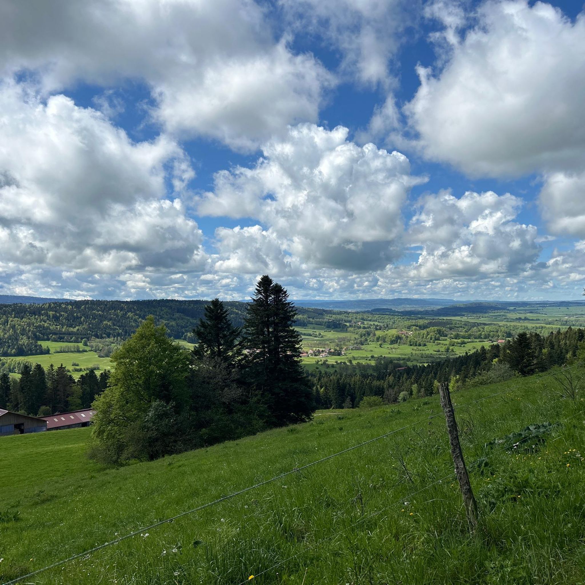
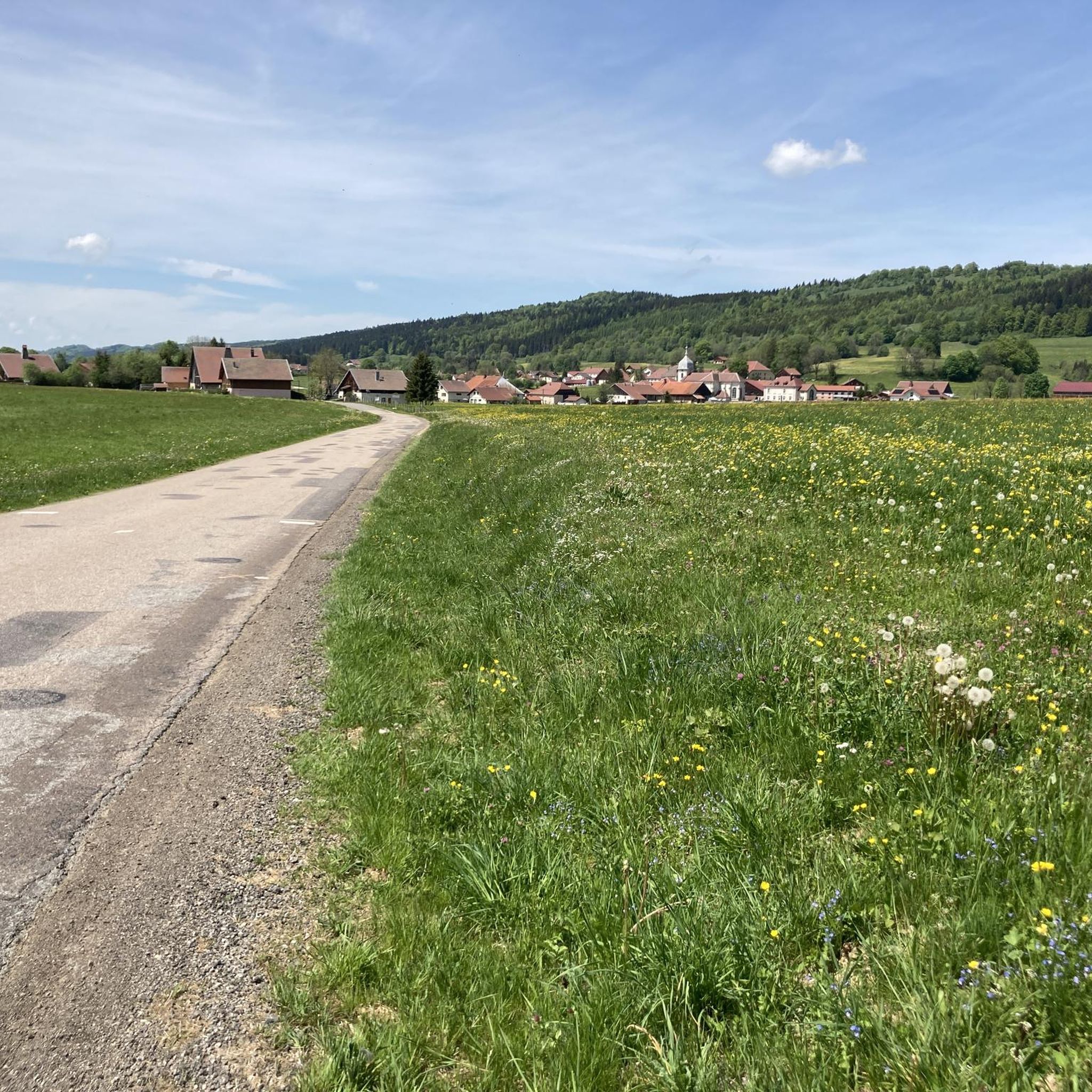
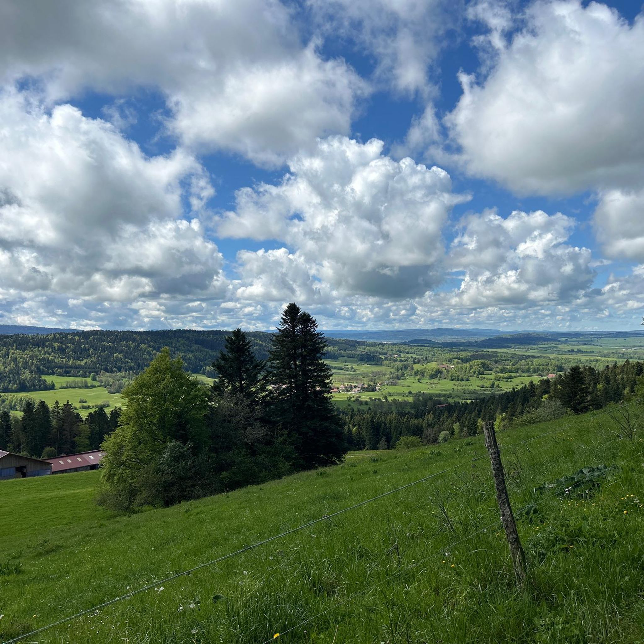
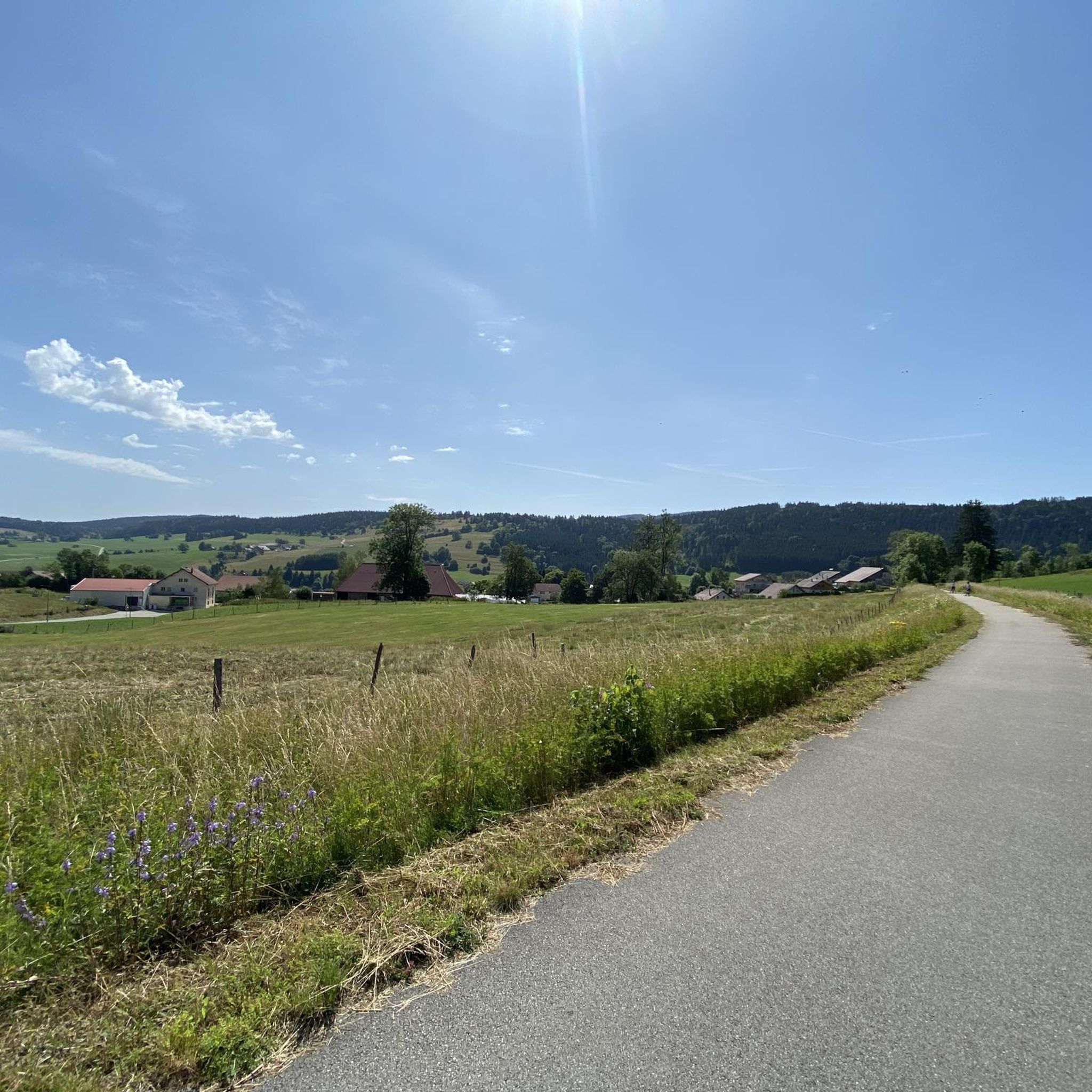
Hiking around La Chaux offers diverse experiences within the Jura Mountains, characterized by high plateaus, wooded valleys known as "combes," and the scenic Doubs River. The region features a varied topography, including elevated terrain and numerous summits that provide expansive views. Trails traverse forests, open pastures, and riverine environments, catering to different preferences.
Best hiking trails around La Chaux
- The most popular hiking route is Le Crêt Monniot — loop from la Chaux, a 5.0 miles (8.1 km) trail…
Last updated: July 5, 2026
3.5
(4)
11
hikers
8.08km
02:27
280m
280m
Moderate hike. Good fitness required. Mostly accessible paths. Sure-footedness required.
4.0
(6)
40
hikers
3.62km
01:03
90m
90m
Easy hike. Great for any fitness level. Easily-accessible paths. Suitable for all skill levels.

Sign up for free
4.8
(4)
18
hikers
Moderate hike. Good fitness required. Easily-accessible paths. Suitable for all skill levels.
1.0
(1)
18
hikers
7.23km
02:10
220m
220m
Moderate hike. Good fitness required. Easily-accessible paths. Suitable for all skill levels.
4.8
(6)
12
hikers
7.73km
02:25
290m
290m
Moderate hike. Good fitness required. Easily-accessible paths. Suitable for all skill levels.
Get access to more routes and recommendations from other explorers.
Sign up for free
Already have an account?
Our route recommendations are based on thousands of hikes, rides, and runs completed by other people on komoot.
Start today with a free account
Your next adventure awaits.
Login or Signup

Tips from the Community

Crêt Monniot is a soft and extended summit, covered with pastures and offering panoramic views of the surroundings. Its gentle and even slopes make it an ideal place for kites and a destination for snowshoes in winter.
2
0
Frequently Asked Questions
How many hiking trails are available in La Chaux?
La Chaux offers a wide network of over 100 hiking trails. These routes cater to various preferences, ranging from easy strolls to more challenging multi-day expeditions across the Jura Mountains.
Are there easy hiking trails suitable for beginners or families?
Yes, La Chaux has numerous easy trails perfect for beginners or families. For instance, the Le Crêt Monniot loop from La Chaux is an accessible 2.2-mile path that provides a gentle introduction to the local landscape. Overall, there are nearly 40 easy routes to choose from.
What kind of landscapes can I expect to see while hiking in La Chaux?
Hiking in La Chaux offers a diverse range of landscapes. You'll traverse expansive high plateaus like the Freiberge, narrow wooded valleys known as 'combes' (such as the Combe de Biaufond), and picturesque riverine environments along the Doubs River. The region is also characterized by elevated terrain within the Jura Mountains, providing varied scenery from dense forests to open pastures.
Are there any circular hiking routes in the area?
Yes, La Chaux features several circular hiking routes. A popular option is the Le Crêt Monniot — loop from la Chaux, a moderate 5-mile trail. Another local favorite is the La Neigère Gorge – Le Crêt Monniot loop from Zones humides d'Arc-sous-Cicon, which takes you through a gorge and varied terrain.
Can I find hikes with panoramic viewpoints in La Chaux?
Absolutely. The Jura Mountains surrounding La Chaux are known for their elevated terrain and numerous summits offering breathtaking panoramic vistas. Peaks like Mont Racine, Le Gros-Crêt, Tête de Ran, Mont Soleil, and Mont d'Amin provide extensive views that, on clear days, can stretch to the majestic Mont Blanc and the distant Alps.
Are there any notable natural attractions or landmarks to explore along the trails?
Yes, the region around La Chaux is rich in natural attractions. You can explore fascinating sites like the Source de la Loue and Source du Pontet, both caves. Other highlights include the Renédale Viewpoint, the Mont Châteleu summit, and the impressive Gorges de Noailles.
What are the options for more challenging hikes in La Chaux?
For those seeking more challenging experiences, La Chaux offers nearly 20 difficult routes. The region's diverse topography, including gorges with elevation and ladders like the Combe de Biaufond, provides adventurous hiking opportunities. Some trails also feature significant ascents, catering to hikers with good to very good fitness levels.
Is La Chaux a good destination for long-distance hiking?
Yes, La Chaux is an excellent destination for long-distance hiking. Several significant trails traverse the area, including sections of the 'Jura Höhenweg' with its spectacular ridge views, and the 'Trans Swiss Trail' which passes through La Chaux-de-Fonds. The 'Chemin de la Réserve' also offers insights into local flora and fauna through nature reserves.
What do other hikers say about the trails in La Chaux?
The trails in La Chaux are highly rated by the komoot community, with an average score of 4.6 stars from over 500 reviews. Hikers often praise the varied terrain, from high plateaus to wooded valleys, and the well-maintained paths that cater to different ability levels.
Are there any hikes that feature waterfalls or river scenery?
Yes, the Doubs River is a significant natural feature in the region, offering trails with impressive river scenery and even a 27-meter waterfall. The 'Saut & Fil du Doubs' is a circular hike specifically designed to showcase these diverse riverine landscapes, including the waterfall and reservoir.
Can I bring my dog on hikes in La Chaux?
Many trails in La Chaux are dog-friendly, allowing you to enjoy the natural beauty with your canine companion. It's always recommended to check specific route details on komoot for any restrictions or leash requirements, especially in nature reserves or agricultural areas.
Are there any hikes that explore historical or unique sites?
Yes, some trails in La Chaux offer glimpses into history and unique natural formations. For example, the Doubs River trails sometimes follow old smuggler's paths. Additionally, the Cave of the Counterfeiters is a notable highlight in the area, offering an intriguing point of interest.
Most popular attractions around La Chaux

Get inspired with the komoot mobile app


Explore more
Browse the best Hikes in other regions.
