The best walks and hikes around Boussey
4.4
(37)
110
hikers
13
hikes
Hiking around Boussey offers a diverse landscape characterized by rocky outcrops, such as the Saffres Rocks and Falaise de Saffres, alongside areas featuring reservoirs and historic dams. The region's terrain includes both open paths and sections of varied elevation. These trails often traverse rural settings, connecting natural features with local points of interest in the Côte-d'Or department.
Best hiking trails around Boussey
- The most popular hiking route is Vitteaux 🏡🏛 loop from Vitteaux, a 6.6 miles (10.7 km) trail…
Last updated: July 6, 2026
4.0
(3)
12
hikers
20.1km
05:37
380m
380m
Hard hike. Very good fitness required. Easily-accessible paths. Suitable for all skill levels.
5.0
(3)
6
hikers
10.7km
03:01
220m
220m
Moderate hike. Good fitness required. Easily-accessible paths. Suitable for all skill levels.

Sign up for free
5.0
(1)
7
hikers
16.5km
04:42
350m
350m
Moderate hike. Good fitness required. Easily-accessible paths. Suitable for all skill levels.
4.0
(2)
4
hikers
8.03km
02:21
200m
200m
Moderate hike. Good fitness required. Easily-accessible paths. Suitable for all skill levels.
8
hikers
1.56km
00:24
0m
0m
Easy hike. Great for any fitness level. Easily-accessible paths. Suitable for all skill levels.
Get access to more routes and recommendations from other explorers.
Sign up for free
Already have an account?
Our route recommendations are based on thousands of hikes, rides, and runs completed by other people on komoot.
Start today with a free account
Your next adventure awaits.
Login or Signup
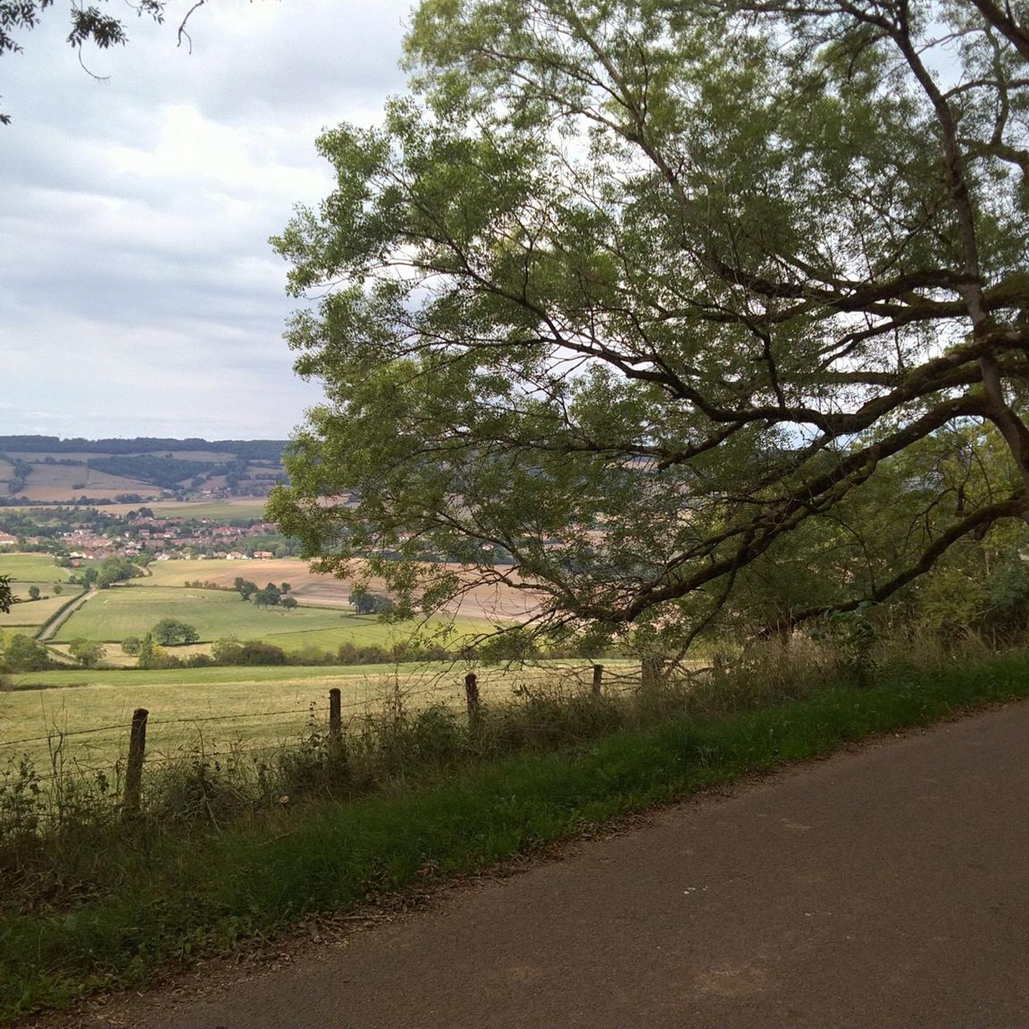
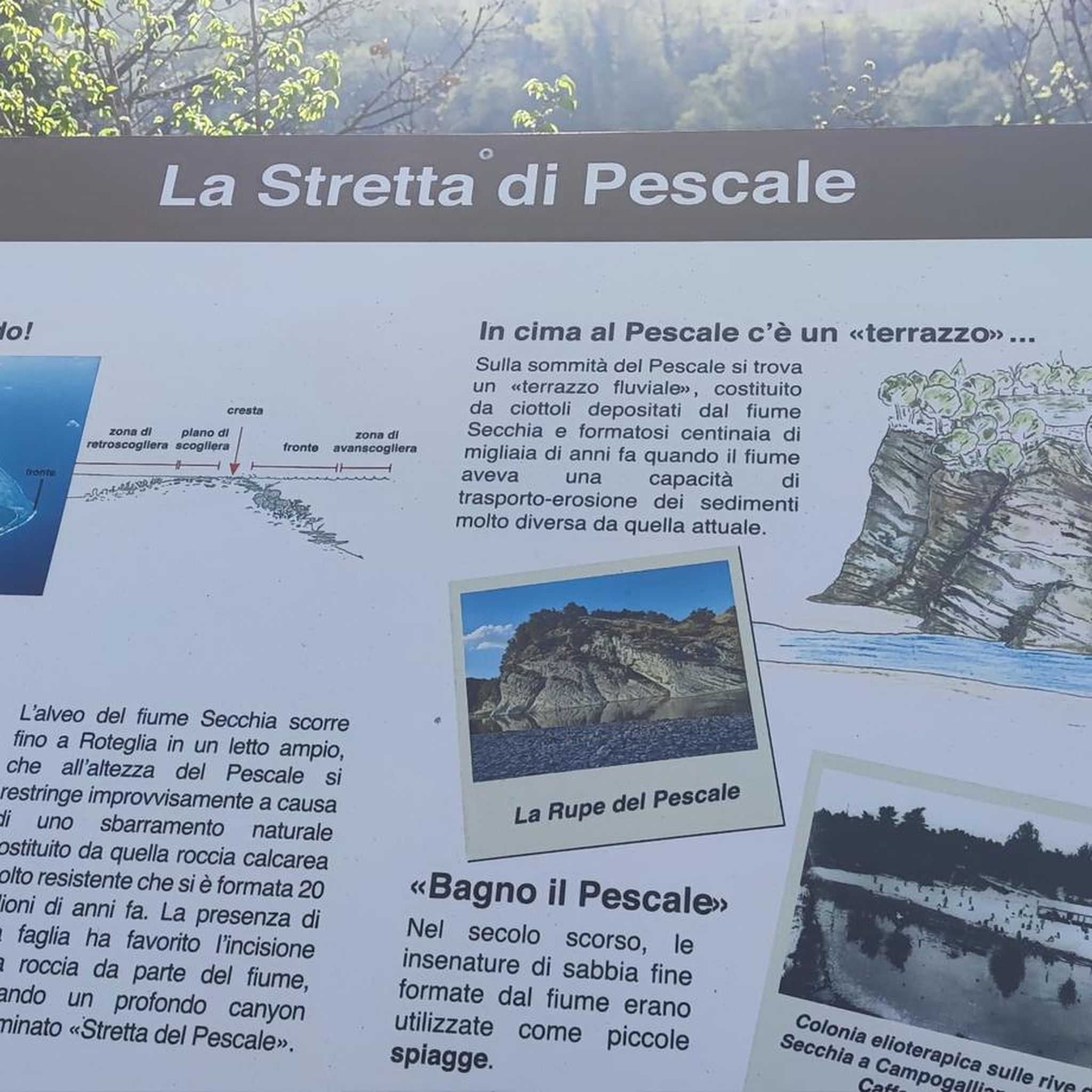
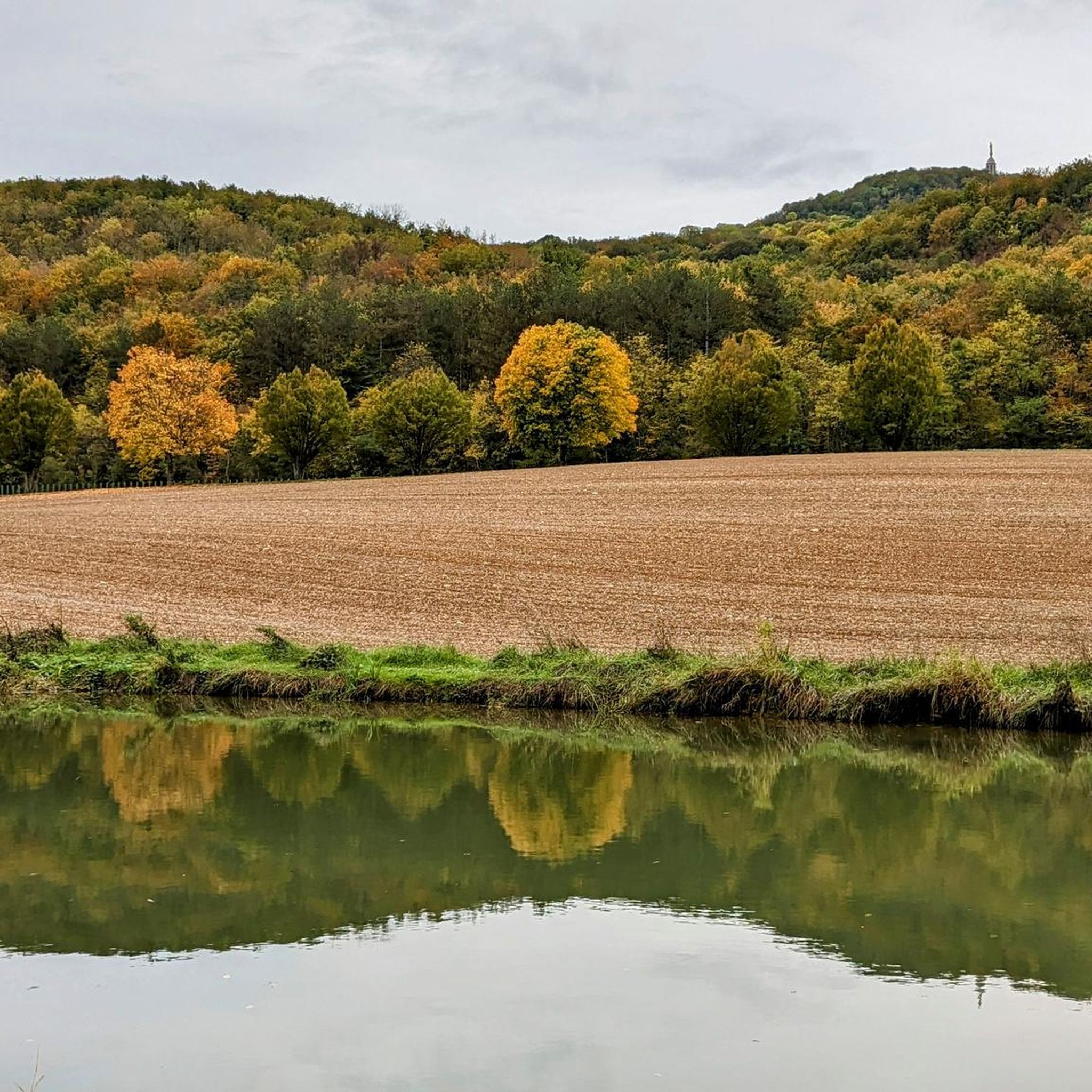

Tips from the Community

Vitteaux is the starting point for two signposted circular hikes: to the archaeological site of “Camp de Myard” or to the rocks of Saffres.
1
0

Great view over the surrounding landscape and many smaller and larger caves to explore at the base of the cliff.
3
0


This reservoir supplies the Burgundy Canal. Its construction was completed in 1838. The site is classified in the National Inventory of Natural Heritage as a type 1 natural zone of ecological, fauna and flora interest.
0
0

Very nice place for campsite while bikepacking. The location is quite used by locals. But Beware water at the graveyard next to it is not drinkable!
1
0

A popular site for rock climbers, but these cliffs and rocks have something to offer hikers too - magnificent views as far as the eye can see.
4
0

Vitteaux is a municipality with about 1000 inhabitants (as of January 1, 2019) in the Côte-d'Or department in the Burgundy region and is the capital of the canton of Semur-en-Auxoi. The beautiful Brenne river flows through the village. In a one-hour tour, starting at the tourist information - where there are also flyers - you can visit the sights (market hall, octagonal tower, several half-timbered houses from the 15th-17th century, Hospital Saint-Nicolas).
2
0

Nice trail with a view of Massingy
2
0
Frequently Asked Questions
What kind of terrain can I expect on hikes around Boussey?
The hiking trails around Boussey are characterized by diverse landscapes. You'll find rocky outcrops, such as the Saffres Rocks and Falaise de Saffres, alongside areas featuring reservoirs and historic dams. The terrain includes both open paths and sections with varied elevation, often traversing rural settings.
Are there any easy hiking trails suitable for beginners or families in Boussey?
Yes, Boussey offers several easy routes. For a straightforward walk with scenic views, consider the Falaise de Saffres loop from Saffres. This 3.2-mile (5.1 km) path is generally completed in about 1 hour 26 minutes and provides views of the Falaise de Saffres cliff.
What are some longer or more challenging hiking options in the Boussey area?
For a more challenging experience, the Tour of the Saffres Rocks is a difficult 12.5-mile (20.1 km) trail. It leads through rocky landscapes and varied elevations, typically taking around 5 hours 37 minutes to complete.
Are there any circular walks available around Boussey?
Yes, many routes in Boussey are designed as circular walks. The Vitteaux 🏡🏛 loop from Vitteaux is a moderate 6.6-mile (10.7 km) path that explores the area around Vitteaux with varied terrain. Another option is the Historic dam loop from Grosbois-en-Montagne, a moderate 9.4 km route.
What kind of natural features or landmarks can I see while hiking near Boussey?
Hikers in Boussey can explore prominent rocky formations like the Saffres Rocks and Falaise de Saffres. The region also features reservoir areas and historic dams, such as those found on the Grosbois Reservoir – Historic dam loop from Grosbois-en-Montagne.
Are there any historical sites or attractions near the hiking trails in Boussey?
Yes, the area around Boussey offers several interesting historical sites. You can visit the Éguilly Castle, or explore the Saint-Thibault historical site. The Entrance to the Tunnel of the Burgundy Canal (Pouilly-en-Auxois) is also a notable point of interest.
What do other hikers say about the trails in Boussey?
The hiking routes in Boussey are highly rated by the komoot community, with an average score of 4.4 stars from over 30 reviews. Hikers often praise the diverse landscapes, from rocky formations to tranquil reservoir areas, and the variety of routes suitable for different ability levels.
How many hiking trails are available in the Boussey region?
There are over 15 hiking trails documented around Boussey, offering a range of difficulties from easy strolls to more challenging long-distance routes. This variety ensures options for all types of hikers.
Are there any routes that feature water bodies like reservoirs or canals?
Yes, several routes incorporate water features. The Grosbois Reservoir – Historic dam loop from Grosbois-en-Montagne is a moderate 16.7 km trail that takes you around the reservoir and past a historic dam. You can also find highlights related to the Canal de Bourgogne nearby.
What is the best time of year to go hiking in Boussey?
While specific weather conditions vary, the diverse terrain of Boussey, with its rocky outcrops and rural paths, makes it enjoyable across multiple seasons. Spring and autumn generally offer pleasant temperatures and vibrant scenery, while summer can be ideal for longer days on the trails. Always check local weather forecasts before heading out.
Are there any cafes or places to eat near the hiking trails in Boussey?
While specific cafes directly on every trail are not guaranteed, the region has local establishments. For example, the Maison du Canal de Bourgogne is a highlight that serves as a restaurant, offering a place to refuel near the canal.
What should I wear for winter hikes in Boussey?
For winter hikes in Boussey, it's advisable to dress in layers to adapt to changing temperatures. Waterproof and windproof outer layers are recommended, especially given the varied elevations and potentially exposed rocky areas. Sturdy, waterproof hiking boots with good grip are essential for navigating any damp or uneven terrain.
Most popular attractions around Boussey

Get inspired with the komoot mobile app


Explore more
Browse the best Hikes in other regions.
