The best walks and hikes around Saint-Georges-De-Gréhaigne
4.4
(2045)
24,977
hikers
185
hikes
Hiking around Saint-Georges-De-Gréhaigne offers diverse natural features and unique landscapes. The region is characterized by polders, which are vegetable-growing lands reclaimed from the sea, and soft valleys providing panoramas of a preserved landscape. Situated within the Mont-Saint-Michel Bay, the area features coastal environments and hollow paths that traverse the Fougères countryside, often leading through forested areas.
Best hiking trails around Saint-Georges-De-Gréhaigne
- The most popular hiking route is Grande Rue – The mountain loop from Pontorson, a 8.3 miles (13.3…
Last updated: October 8, 2026
4.6
(36)
527
hikers
Easy hike. Great for any fitness level. Easily-accessible paths. Suitable for all skill levels.
4.5
(13)
117
hikers
Hard hike. Very good fitness required. Easily-accessible paths. Suitable for all skill levels.

4.3
(18)
108
hikers
19.5km
04:56
30m
30m
Moderate hike. Good fitness required. Easily-accessible paths. Suitable for all skill levels.
4.5
(6)
20
hikers
Moderate hike. Good fitness required. Easily-accessible paths. Suitable for all skill levels.
4.5
(11)
84
hikers
Hard hike. Very good fitness required. Easily-accessible paths. Suitable for all skill levels.
Get access to more routes and recommendations from other explorers.
Already have an account?
Our route recommendations are based on thousands of hikes, rides, and runs completed by other people on komoot.
Start today with a free account
Your next adventure awaits.

Tips from the Community

A special place with a special vibe.
0
0
A special place with a special vibe.
0
0

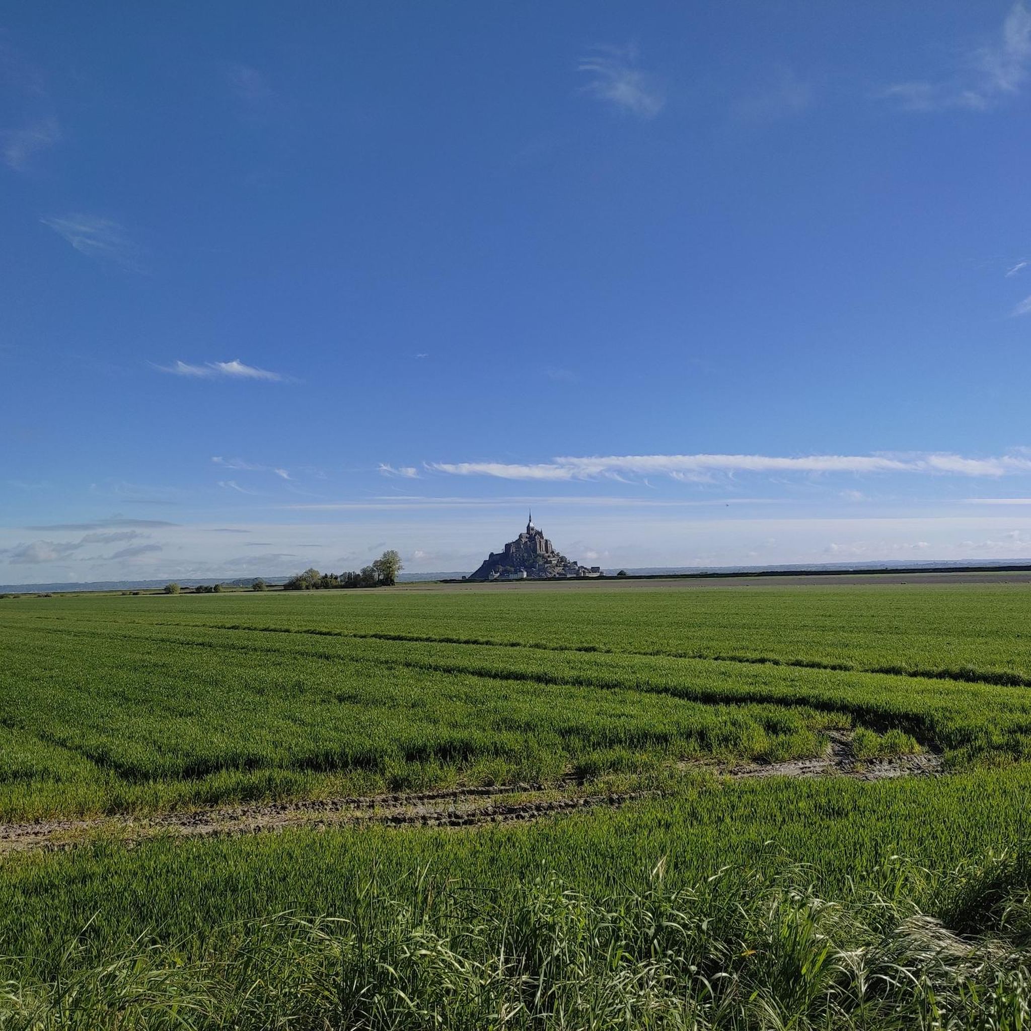
Heavily trodden and driven road embankment leading to Mont-Saint-Michel along the salt marshes. A little caution with heavy traffic and you will arrive at the Mont with good impressions.
4
0
Mont-Saint-Michel is a world-famous rocky island and commune on the border between Normandy and Brittany in France. Crowned by a monumental, medieval Benedictine abbey, this architectural marvel has been a UNESCO World Heritage site since 1979. The bay of the mount is also known for Europe's strongest tides, with a tidal range of up to 14 meters.
2
0

You have to experience Mont Saint-Michel at least once. Unfortunately, the parking fees are outrageous! 3 hours parking = €20 On the other hand, the shuttle bus for the approx. 2.5 km distance is free. But when you're already here, ....?
0
0

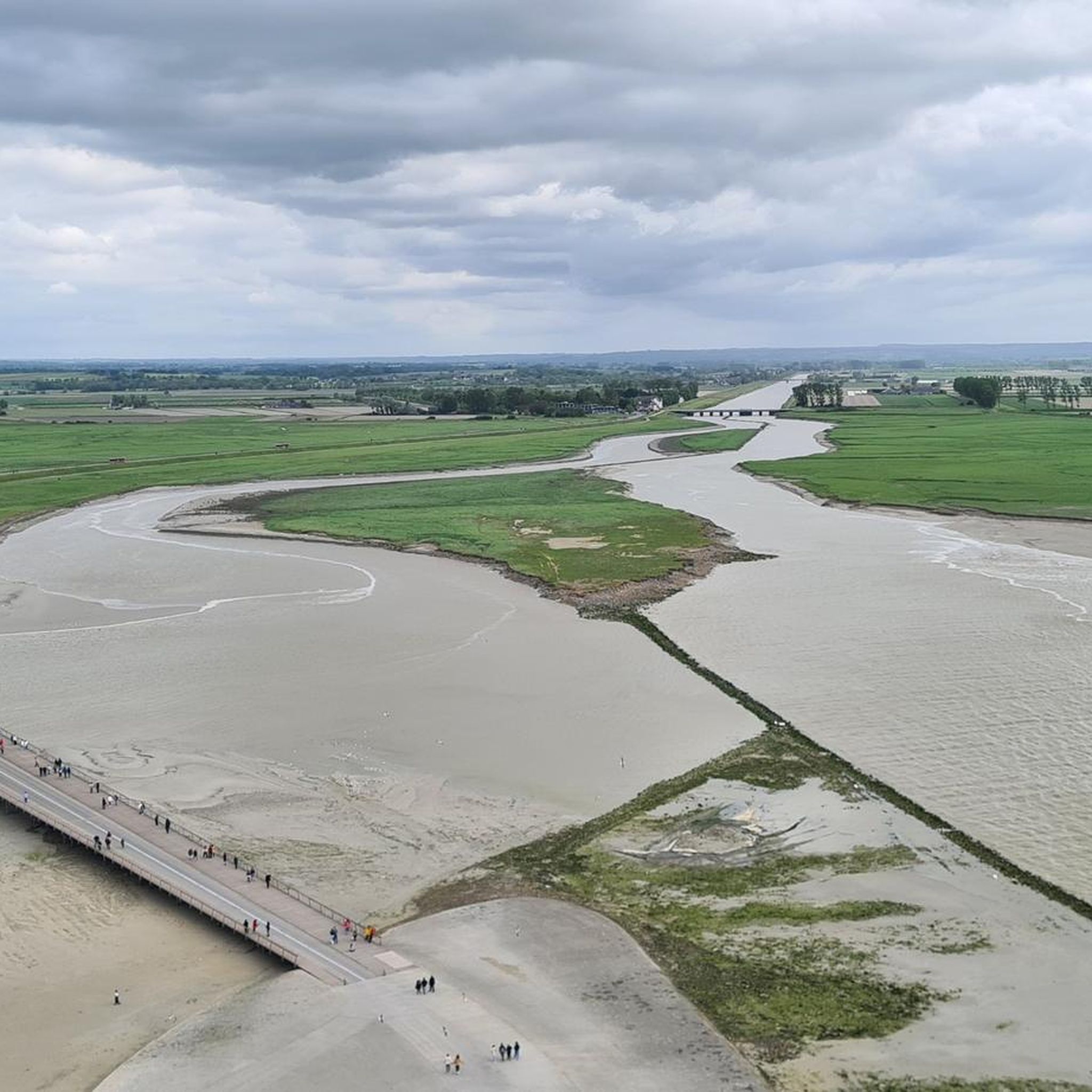
The access bridge to Mont-Saint-Michel was opened in 2014, replacing the former road causeway that had impaired the natural movement of water and sediment in the bay. Built on stilts, the bridge allows for better exchange of tidal currents and helps to preserve the character of Mont-Saint-Michel as a tidal island. On the way to the island, there are wide views over the bay and an impressive sight of the abbey.
10
0
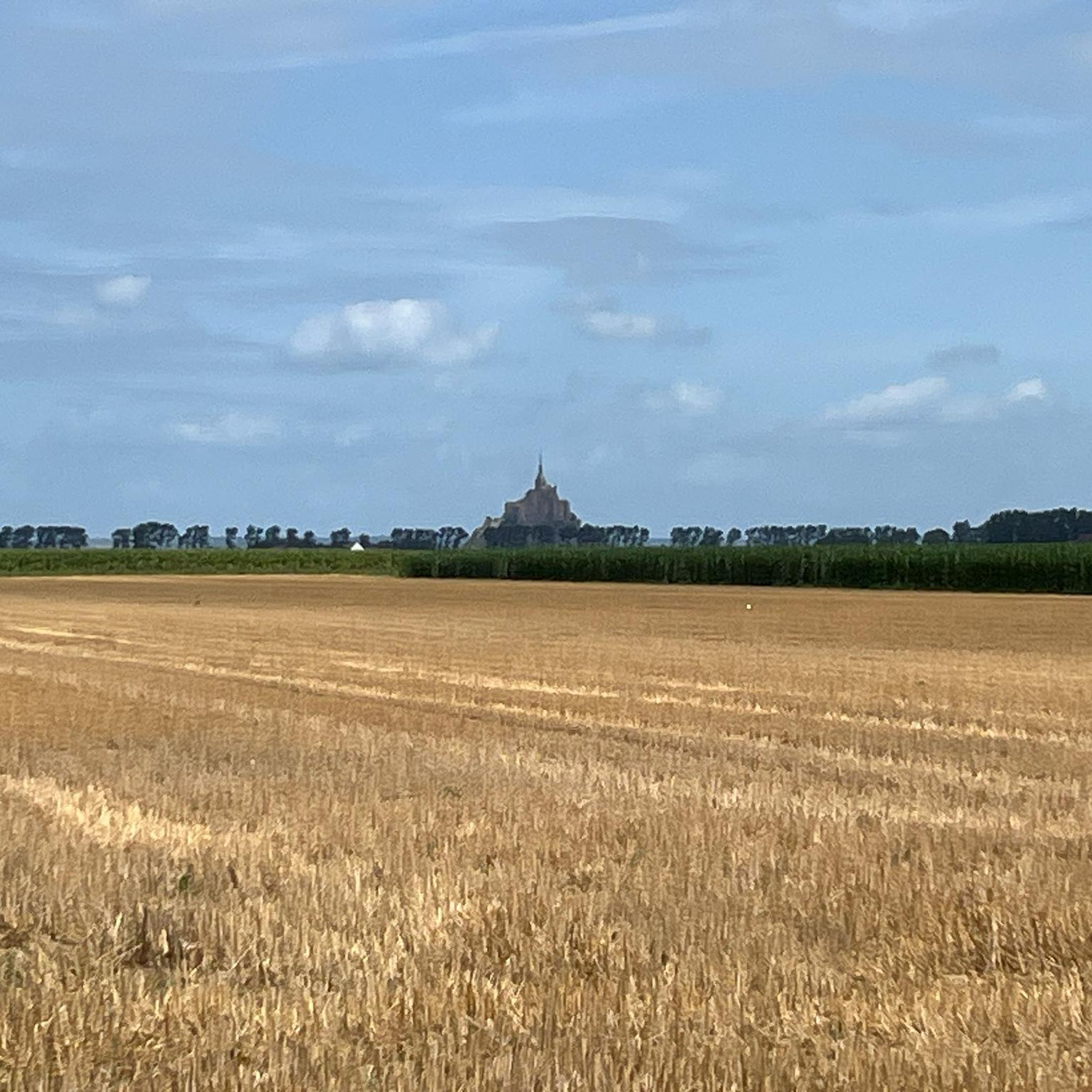
The footpath along the Couesnon to the dam already offers an impressive view of Mont-Saint-Michel. From here, the path with an unobstructed view leads across the salt marshes and the bay, with the landmark of Normandy impressively rising against the wide landscape. Especially in calm weather and with changing light, atmospheric views emerge of Mont-Saint-Michel, the course of the Couesnon river, and the tide-shaped surroundings.
13
0
The Couesnon dam (Barrage du Couesnon) was completed in 2009 and is part of the measures to preserve the bay of Mont-Saint-Michel. The facility regulates the water flow of the Couesnon and supports the natural removal of sediments by the tides. This is intended to counteract the increasing silting up of the bay and preserve the special character of Mont-Saint-Michel as a tidal island. The dam also offers a popular viewpoint with a view of Mont-Saint-Michel and the surrounding salt marshes.
3
0
Frequently Asked Questions
How many hiking trails are available around Saint-Georges-De-Gréhaigne?
There are nearly 180 hiking routes in the Saint-Georges-De-Gréhaigne area. These include a wide range of options, with over 90 easy trails, 76 moderate routes, and 9 more challenging hikes to explore.
What kind of landscapes can I expect to see while hiking in Saint-Georges-De-Gréhaigne?
Hiking in Saint-Georges-De-Gréhaigne offers diverse and contrasting landscapes. You'll encounter unique polders, which are vegetable-growing lands reclaimed from the sea, as well as soft valleys providing panoramic views of a preserved countryside. The area is also characterized by coastal environments within the Mont-Saint-Michel Bay and hollow paths traversing the rich Fougères countryside, often leading through forested areas.
Are there any family-friendly hiking options in the area?
Yes, Saint-Georges-De-Gréhaigne offers many easy trails suitable for families. For example, the Kühe am Campingplatz – Couesnon Dam loop from Beauvoir is an easy 7.6 km path that follows the Couesnon Dam, providing pleasant views for all ages.
What are some notable natural features or landmarks to look out for on the trails?
The region is rich in natural and historical landmarks. A major highlight is the proximity to Mont Saint-Michel. You can also discover the Couesnon at Beauvoir, the Footbridge to Mont Saint-Michel, and the Grouin du Sud viewpoint. Inland, you'll find the distinctive polders and soft valleys.
Can I access the GR 34 long-distance coastal path from Saint-Georges-De-Gréhaigne?
Yes, Saint-Georges-De-Gréhaigne is ideally situated for accessing sections of the famous GR 34 long-distance coastal path, also known as the "Sentier des Douaniers." This extensive trail begins at Mont-Saint-Michel, offering stunning ocean vistas and picturesque coves as it traces the Brittany coastline.
Are there any circular hiking routes available?
Many of the trails around Saint-Georges-De-Gréhaigne are circular. For instance, the The dam on the Couesnon – Le Mont Saint Michel ⛰️ loop from Beauvoir is a 9.4 km loop that takes you through the coastal environment near Mont Saint-Michel. Another option is the Grande Rue – The mountain loop from Pontorson, a moderate 13.3 km circular route.
What do other hikers say about the trails in Saint-Georges-De-Gréhaigne?
The hiking routes in Saint-Georges-De-Gréhaigne are highly rated by the komoot community, with an average score of 4.4 stars from over 1,900 reviews. Hikers often praise the varied terrain, from coastal paths to polders and soft valleys, and the well-maintained network of trails suitable for different ability levels.
Are there any short walks suitable for a quick outing?
Yes, there are numerous shorter walks. The "Circuit of Saint-Georges" is an 8-kilometer route that takes approximately 2 hours and 15 minutes, offering scenic views of the preserved countryside. You can find more details about this specific circuit on tourisme-marchesdebretagne.com.
Is public transport available to reach hiking starting points?
While specific public transport details for every trailhead are not available, the region around Mont-Saint-Michel is generally accessible. For routes starting further afield, it's advisable to check local bus services or consider driving to the starting points, especially for trails deeper in the Fougères countryside.
What is the best time of year to go hiking in Saint-Georges-De-Gréhaigne?
The region offers pleasant hiking conditions for much of the year. Spring and autumn provide mild temperatures and beautiful scenery, while summer is ideal for coastal walks. Even in winter, the polders and valleys can offer a unique, tranquil experience, though some paths might be muddy.
Are there any trails that offer views of Mont Saint-Michel?
Absolutely. Many trails in the area provide stunning views of Mont Saint-Michel. For a more challenging option, consider the View of Mont Saint-Michel – View of Mont Saint-Michel loop from Les Cotterets, a difficult 24 km route specifically designed for these vistas.
Are dogs allowed on the hiking trails?
Generally, dogs are welcome on many hiking trails in the region, especially on public footpaths and in natural areas. However, it's always recommended to keep them on a leash, particularly in agricultural areas, near livestock, or in nature reserves. Specific restrictions might apply in certain protected areas or on private land, so always look for local signage.
Most popular routes around Saint-Georges-De-Gréhaigne
Most popular attractions around Saint-Georges-De-Gréhaigne

Get inspired with the komoot mobile app


Explore more
Browse the best Hikes in other regions.
