The 6 Most Amazing Peaks around Saint-Bonnet-Des-Bruyères
Best mountain peaks around Saint-Bonnet-Des-Bruyères are characterized by elevated points and hills, offering scenic views and hiking opportunities. The commune itself ranges from 413 to 801 meters in altitude, with its highest point reaching 800 meters. This area provides diverse terrain for exploration, valued for its natural beauty in the Haut-Beaujolais region. These elevated points are primarily appreciated for their panoramic views and the hiking routes they provide.
Best mountain peaks around Saint-Bonnet-Des-Bruyères
- The most popular mountain peaks is Mount…
Last updated: July 1, 2026
Mount Saint-Rigaud
Highlight • Summit
Translated by Google •
Tip by

Mount St. Cyr
Highlight • Summit
Translated by Google •
Tip by

Sign up now to discover places like this
Get recommendations on the best single tracks, peaks, & plenty of other exciting outdoor places.
Sign up for free
Mount Dun
Highlight • Summit
Translated by Google •
Tip by
Mont Saint-Cyr
Highlight • Viewpoint
Translated by Google •
Tip by

La Roche d'Ajoux
Highlight • Summit
Translated by Google •
Tip by

Start today with a free account
Your next adventure awaits.
Login or Signup
Popular around Saint-Bonnet-Des-Bruyères
Tips from the Community

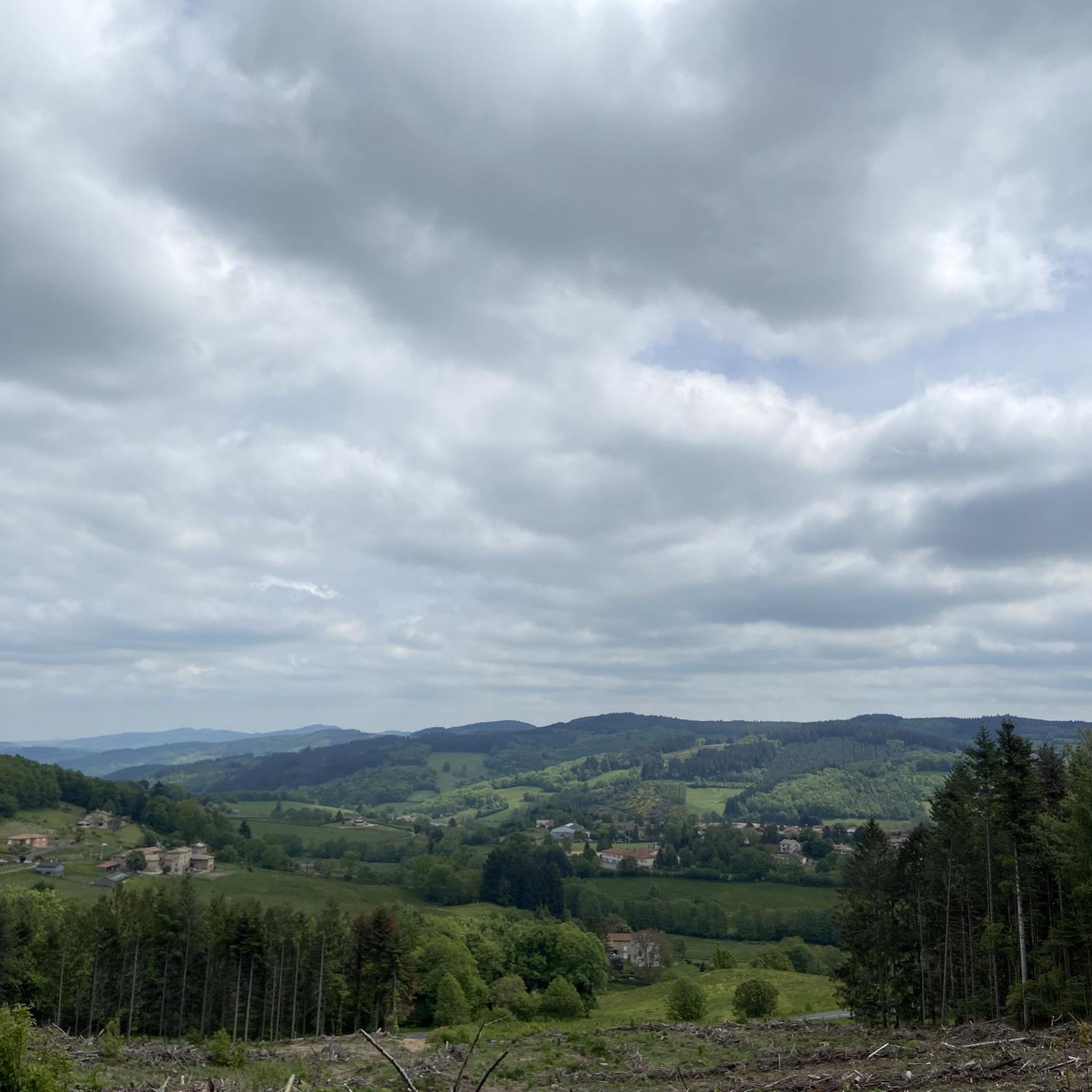
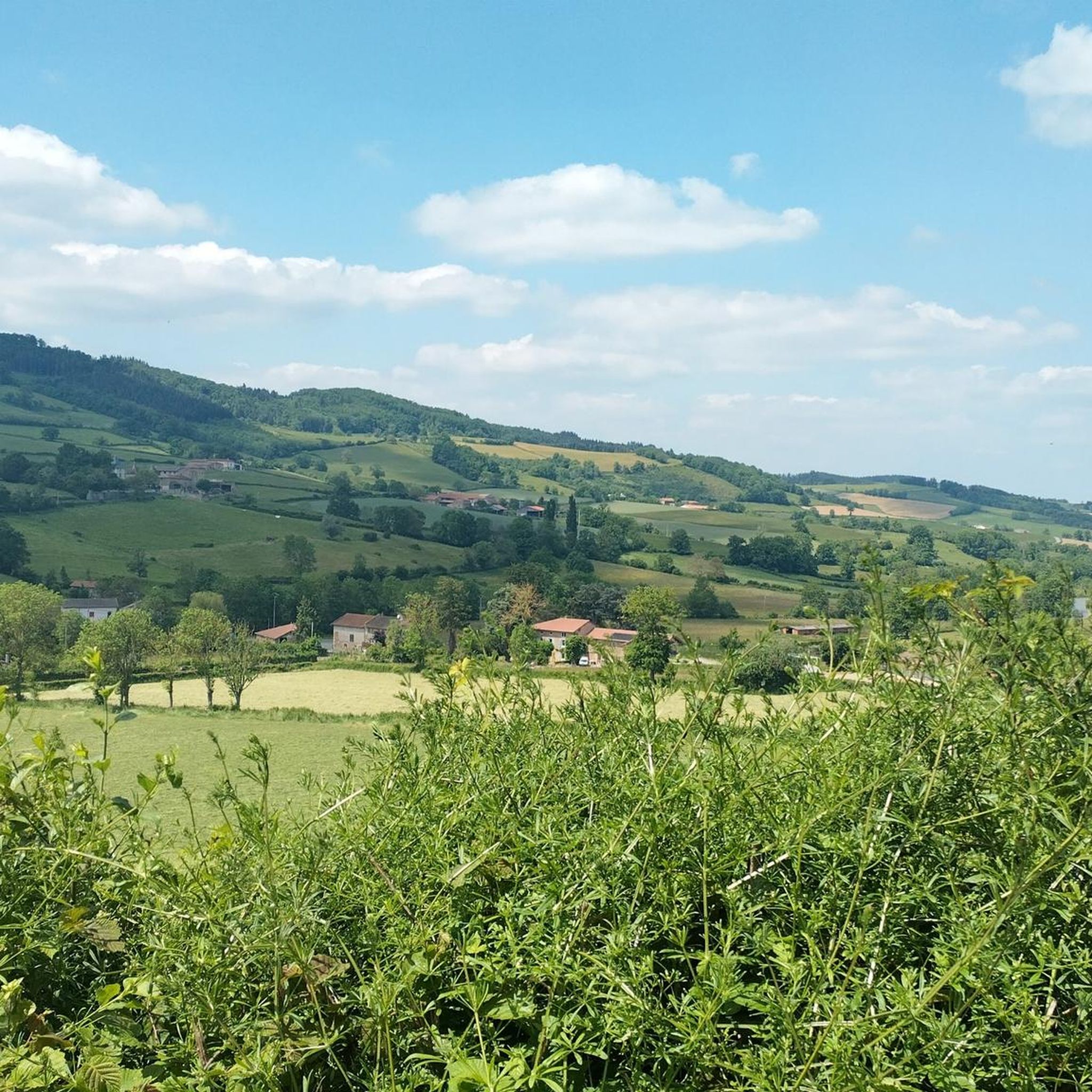
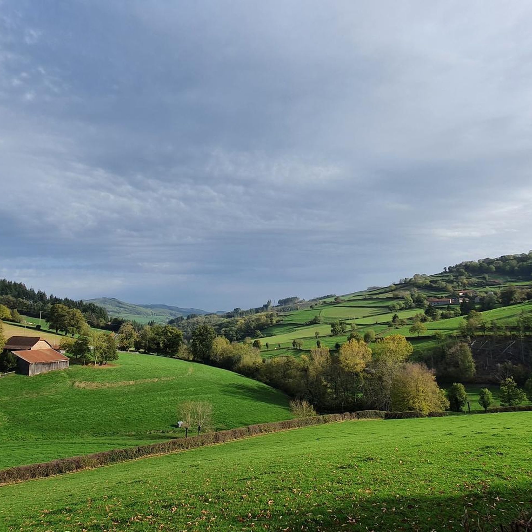
Mont Saint-Cyr is located in southern Burgundy (Saône-et-Loire department) in the municipality of Montmelard and, at 771 meters, is the highest point in the Mâconnais mountains. From the summit, there is a wide panoramic view of the surrounding landscapes of Charolais, Brionnais, and Clunisois. In very clear weather, the view extends eastwards to Mont Blanc in the Alps. On the mountain are the historical remains of a 10th-century monastery, which was destroyed during the Wars of Religion. There is a picnic area in the forest, as well as orientation panels that help identify the surrounding peaks and valleys.
0
0
Mont Saint-Cyr is located in southern Burgundy (Saône-et-Loire department) in the municipality of Montmelard and, at 771 meters, is the highest point of the Mâconnais mountains. From the summit, there is a wide panoramic view of the surrounding landscapes of Charolais, Brionnais, and Clunisois. In very clear weather, the view extends eastwards to Mont Blanc in the Alps. On the mountain are the historical remains of a 10th-century monastery, which was destroyed during the Huguenot Wars. There is a picnic area in the forest as well as orientation panels that are helpful in identifying the surrounding peaks and valleys.
0
0

Mont Saint-Cyr 771 m, the highest point in the Mâconnais mountains with a superb view.
1
0

The roof of the Rhône, beautiful view of the upper Beaujolais
1
0


Great walk. Beautiful view with picnic tables and tap with drinking water. However, NOT an easy walk. You must be able to walk well.
0
0

Impressive views over southern Burgundy and Haut-Beaujolais
1
0
Frequently Asked Questions
What are the best mountain peaks for panoramic views around Saint-Bonnet-des-Bruyères?
For breathtaking panoramic views, consider visiting Mount Saint-Rigaud, which offers extensive vistas over the Azergues valley, the Forez and Madeleine mountains, the Charolais region, and Mont Rigaud itself. Similarly, La Roche d'Ajoux provides a similar wide-ranging panorama. Mount St. Cyr, the highest point of the Mâconnais mountains, also boasts a 360° view of the surroundings.
Which peaks around Saint-Bonnet-des-Bruyères offer views of Mont Blanc or the Alps?
On clear days, the elevated point known as Grande Roche, part of the hiking circuits around Saint-Bonnet-des-Bruyères, offers panoramic views that can extend as far as Mont Blanc. Additionally, from the summit of Mount St. Cyr, you can sometimes see the Alps when the weather conditions are favorable.
Are there family-friendly mountain walks or peaks suitable for beginners?
Yes, Mount Saint-Rigaud is listed as family-friendly and offers beautiful walks around its summit. While some climbs can be challenging, many routes in the area cater to various fitness levels. The general elevated points around Saint-Bonnet-des-Bruyères are valued for their scenic views and hiking opportunities, with some circuits being more accessible.
Are there any mountain peaks with historical or cultural significance in the region?
Yes, Mount Dun is a significant historical site, housing a chapel and previously serving as a strong defensive position that resisted various invasions. The Saint-Bonnet Signal, peaking at 676 meters, features a 12th-century Romanesque chapel dedicated to Saint Bonnet, which was historically a pilgrimage site.
What outdoor activities can I do near these mountain peaks?
The region around Saint-Bonnet-des-Bruyères offers diverse outdoor activities. You can explore numerous hiking trails, with options like the 'Montagne de Saint-Cyr Loop from Matour' or 'The Châtelard viaduct – Cabin in the woods loop from Mont Saint-Rigaud'. For cycling enthusiasts, there are dedicated MTB trails and gravel biking routes, including challenging options like 'Mount Saint-Rigaud – The Châtelard viaduct loop from Monsols'.
What is the highest point within the immediate vicinity of Saint-Bonnet-des-Bruyères?
The commune of Saint-Bonnet-des-Bruyères itself features a culminating point at 800 meters (2,628 feet) in altitude. While not a named peak, this elevation offers the highest vantage within the immediate vicinity of the village, which sits at an average altitude of 560 meters.
What do visitors enjoy most about the mountain peaks around Saint-Bonnet-des-Bruyères?
Visitors consistently highlight the magnificent and unobstructed views from the summits. Tips for Mount Dun mention the great views and picnic tables. For Mount Saint-Rigaud, the beautiful point of view and surrounding walks are frequently praised. The overall natural beauty and the rewarding panoramas after a climb are key attractions.
Are there any specific hiking circuits or routes recommended for exploring the peaks?
Yes, the 'Moulins' circuit, a 22 km hike around the commune, is a recommended route that includes elevated points like Grande Roche. For more specific trails, you can find various options in the hiking guide for Saint-Bonnet-des-Bruyères, such as the 'Montagne de Saint-Cyr Loop from Matour' or 'Mount St. Cyr – Mont Saint-Cyr loop from Les Terres'.
What is the difficulty level for hiking to the summits like Mount Saint-Rigaud or Mount St. Cyr?
While many routes offer beautiful walks, some climbs can be challenging. For example, a tip for Mount Dun notes that it is 'NOT an easy walk' and requires being able to walk well. Similarly, reaching the viewpoint on Mount St. Cyr is described as a 'tough climb', though rewarded with a superior view. There are also moderate and difficult MTB and gravel biking routes that traverse these elevated areas.
What is the altitude of the prominent peaks in the region?
Mount Saint-Rigaud and La Roche d'Ajoux both reach an altitude of 970 meters (approximately 3,182 feet), making them the second-highest summits of the Beaujolais mountains. Mount St. Cyr stands at 771 meters, as the highest point of the Mâconnais mountains. The Saint-Bonnet Signal peaks at 676 meters.
Are there any amenities like picnic tables or drinking water available at the summits?
Yes, at Mount Dun, visitors have noted the presence of picnic tables and a tap with drinking water, making it a convenient spot for a break during your hike. For other peaks, it's advisable to carry your own supplies.
Most popular routes around Saint-Bonnet-Des-Bruyères
Most popular attractions around Saint-Bonnet-Des-Bruyères

Get inspired with the komoot mobile app


Explore more
See even more amazing summits around Saint-Bonnet-Des-Bruyères with these guides:
