The best cycling routes around Saint-Bonnet-Des-Bruyères
4.4
(50)
382
riders
112
rides
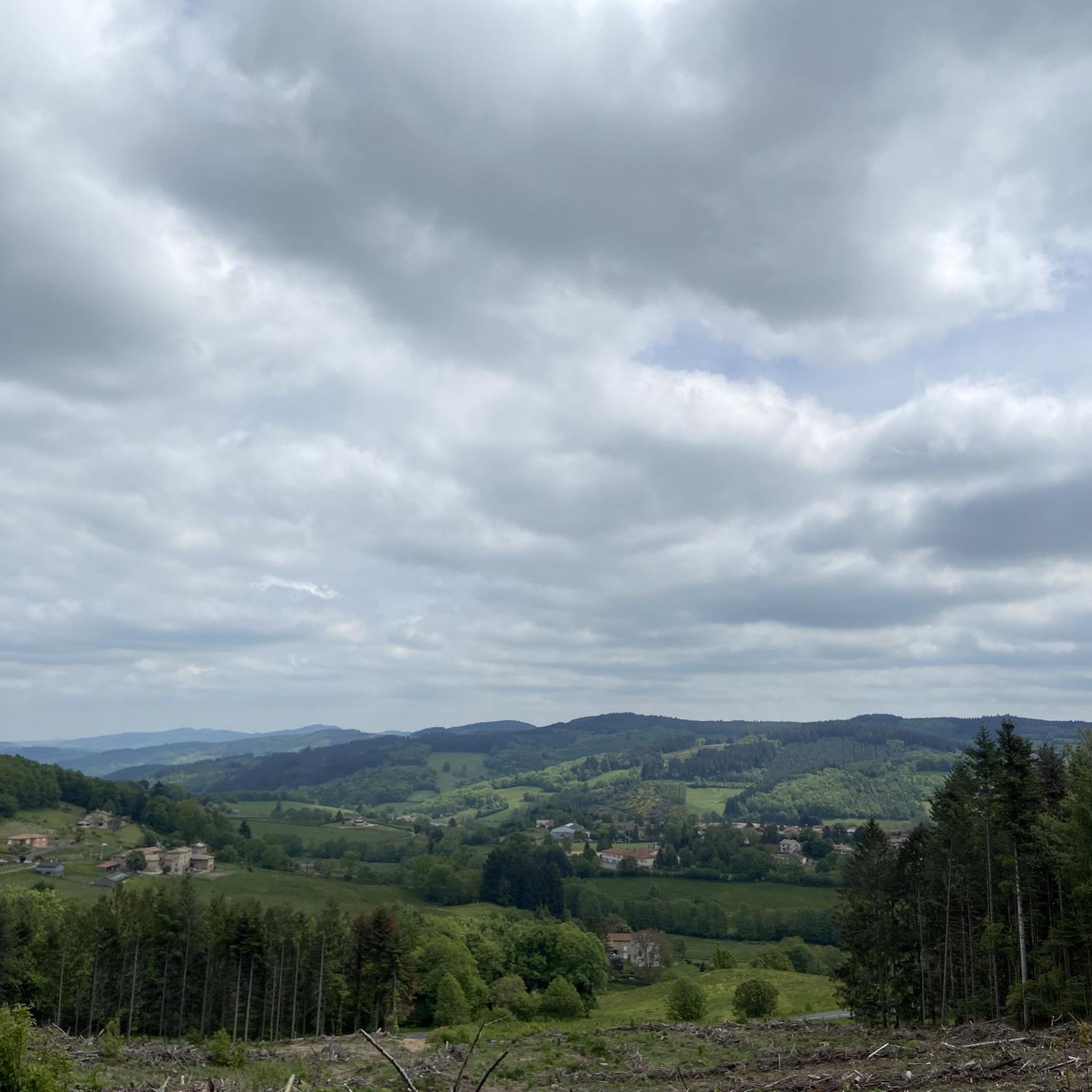
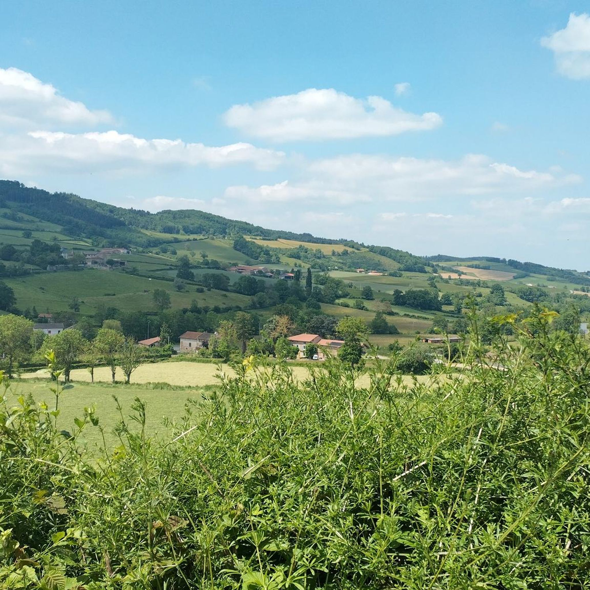
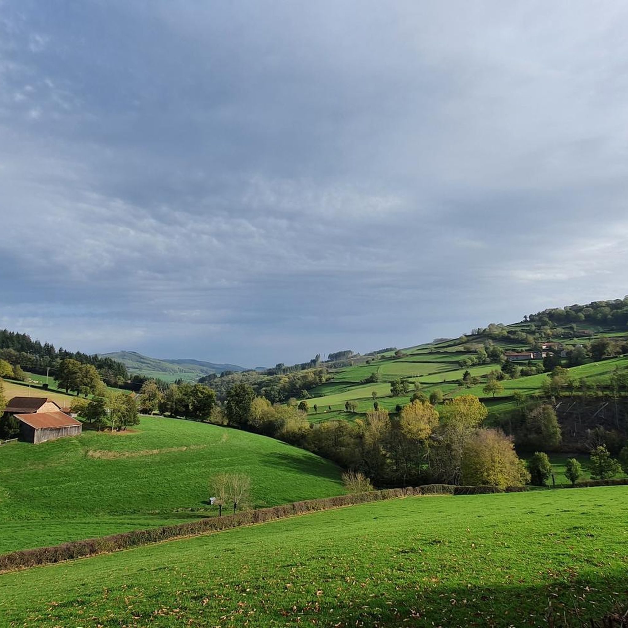
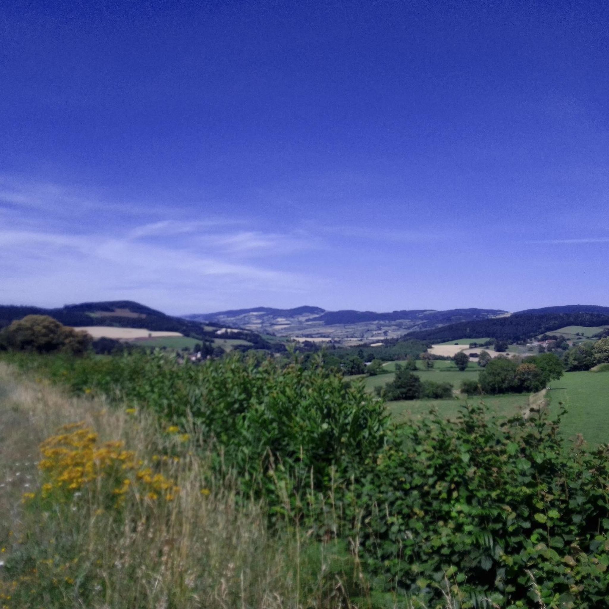
Touring cycling routes around Saint-Bonnet-Des-Bruyères traverse a rural landscape in the Haut-Beaujolais region, characterized by altitudes ranging from 413 to 801 meters. The terrain features a mix of prairies and forests, with green hills that are predominantly pastures. The area is situated on a water-sharing line, where rivers flow towards both the Atlantic and the Mediterranean, contributing to diverse natural environments. Mont Saint-Rigaud, one of the highest hills in the Haut-Beaujolais, provides panoramic vistas.
Best touring cycling routes around Saint-Bonnet-des-Bruyères
…Last updated: July 3, 2026
5.0
(2)
12
riders
29.8km
01:54
370m
370m
Moderate bike ride. Good fitness required. Mostly paved surfaces. Suitable for all skill levels.
5.0
(1)
8
riders
32.3km
02:17
650m
640m
Hard bike ride. Very good fitness required. Mostly paved surfaces. Suitable for all skill levels.

Sign up for free
5.0
(1)
3
riders
17.5km
01:22
460m
460m
Hard bike ride. Very good fitness required. Mostly paved surfaces. Suitable for all skill levels.
5.0
(3)
5
riders
26.7km
01:56
560m
570m
Hard bike ride. Very good fitness required. Mostly paved surfaces. Suitable for all skill levels.
2
riders
38.2km
02:49
770m
780m
Hard bike ride. Very good fitness required. Mostly paved surfaces. Suitable for all skill levels.
Get access to more routes and recommendations from other explorers.
Sign up for free
Already have an account?
Our route recommendations are based on thousands of hikes, rides, and runs completed by other people on komoot.
Start today with a free account
Your next adventure awaits.
Login or Signup
Tips from the Community

The KKriegerdenkmal commemorates the fallen of the World Wars. In November 1943, the site played a role in the French Resistance when local Maquisards (resistance fighters) marched to the monument to lay a wreath, despite the German occupation.
0
0
The Église Saint-Barthélemy is a charming village church, rebuilt in the 19th century in the neo-Gothic style. It has a historical, considerably older bell tower in the Romanesque style. The church is part of the Roman Catholic parish of Sainte-Marie-sous-Dun in the Diocese of Autun.
0
0


Giant bike made by the Beaujolais bike club.
3
0

The Col de Champ Juin from Monsols en Morvan is 5.6 km long with a total drop of 204 m. The average gradient is 3.64% with maximum gradients of 5.2%.
1
0

House of Hiking and Trail, open from April to October. Hiking advice (topo-guides, equipment...), bike rental, café, shop and terrace. https://www.maisondelarandonnee.fr/
1
0

It's a good little pass not very difficult to do from Saint-Didier, Ouroux, Saint-Mamert or Monsols. It is also a starting point towards the ascent of Mont Saint-Rigaud. It can be quite busy with cars and trucks during peak hours. The view at the summit is beautiful and the tarmac is good.
1
0

Cross-town only possible at 30 km/h. traffic-calmed. 👍
0
0
Frequently Asked Questions
How many touring cycling routes are available around Saint-Bonnet-Des-Bruyères?
There are nearly 100 touring cycling routes around Saint-Bonnet-Des-Bruyères, offering a wide range of options for exploring the Haut-Beaujolais region. These routes cater to various fitness levels, from moderate to difficult.
What kind of terrain can I expect on touring cycling routes in Saint-Bonnet-Des-Bruyères?
The terrain around Saint-Bonnet-Des-Bruyères is diverse, with altitudes ranging from 413 to 801 meters. You'll encounter a mix of prairies and forests, with green hills predominantly covered in pastures, offering expansive views. Many routes feature significant elevation gains, often on paved surfaces, providing both challenging climbs and rewarding descents.
Are there any easy touring cycling routes for beginners or families?
While many routes in the area are classified as moderate to difficult due to the hilly terrain, there is at least one easy touring cycling route available. For families or beginners, it's advisable to check the route details for elevation gain and distance to find the most suitable option.
What are some notable landmarks or scenic viewpoints I can see along the cycling routes?
The region offers several scenic viewpoints and landmarks. You can experience panoramic vistas from Mont Saint-Rigaud, one of the highest peaks in Haut-Beaujolais. Other notable points include the Col de Crie, 622 m, and the Mount St. Cyr. The village itself features a Neo-Gothic Church and the Statue de Notre Dame de la Salette.
Are there any circular touring cycling routes in the area?
Yes, many touring cycling routes around Saint-Bonnet-Des-Bruyères are designed as loops, allowing you to start and finish in the same location. An example is the Mount Saint-Cyr – Mount St. Cyr loop from Matour, which is a popular option for its challenging profile and scenic views.
What is the best time of year to go touring cycling in Saint-Bonnet-Des-Bruyères?
The Haut-Beaujolais region is generally pleasant for cycling from spring through autumn. Spring offers lush green landscapes, while autumn provides beautiful foliage. Summer can be warm, but the higher altitudes can offer some relief. Always check the local weather forecast before heading out, as conditions can vary.
What do other touring cyclists enjoy most about cycling in Saint-Bonnet-Des-Bruyères?
The touring cycling routes in Saint-Bonnet-Des-Bruyères are highly rated by the komoot community, with an average score of 4.6 stars from over 50 reviews. Cyclists often praise the varied terrain, the expansive views over green hills and pastures, and the sense of exploring a preserved rural environment.
Are there any routes that offer significant elevation gain for a challenging ride?
Absolutely. The region is known for its challenging climbs. For instance, the Col de Crie, 622 m – Mount Saint-Rigaud loop from Monsols features over 900 meters of elevation gain, making it a demanding ride for experienced cyclists. Another challenging option is the Py Summit – Giant bicycle at Col de Crie loop from Fontalet with similar elevation.
Where can I find parking for my bike when visiting Saint-Bonnet-Des-Bruyères?
While specific dedicated cyclist parking facilities are not detailed, as a rural village, parking is generally available within Saint-Bonnet-Des-Bruyères. It's advisable to look for public parking areas in the village center or near trailheads, especially if you plan to start a loop route from there.
Is it possible to reach Saint-Bonnet-Des-Bruyères by public transport with a bike?
Information on specific public transport options allowing bikes directly to Saint-Bonnet-Des-Bruyères is limited. Given its rural location, public transport links might be infrequent or not always accommodate bicycles. It's recommended to check regional bus services or train connections to nearby larger towns and then cycle the remaining distance.
Are there any touring cycling routes that pass through the hydrological divide?
Yes, the region is uniquely situated on a water-sharing line where rivers flow towards both the Atlantic and the Mediterranean. Many routes traverse this area, offering a chance to experience this significant natural feature. The general network of routes around Saint-Bonnet-Des-Bruyères is defined by this hydrological divide.
Can I find accommodation or places to eat in Saint-Bonnet-Des-Bruyères?
As a rural village, Saint-Bonnet-Des-Bruyères offers some local amenities. You may find small guesthouses (gîtes) or local restaurants. For a wider selection of cafes, pubs, and accommodation, you might consider nearby larger towns in the Haut-Beaujolais region. It's always a good idea to book accommodation in advance, especially during peak seasons.
Most popular routes around Saint-Bonnet-Des-Bruyères
Most popular attractions around Saint-Bonnet-Des-Bruyères

Get inspired with the komoot mobile app


Explore more
Browse the best Cycling routes in other regions.
