The best road cycling routes around Vennes
4.1
(58)
963
riders
132
rides
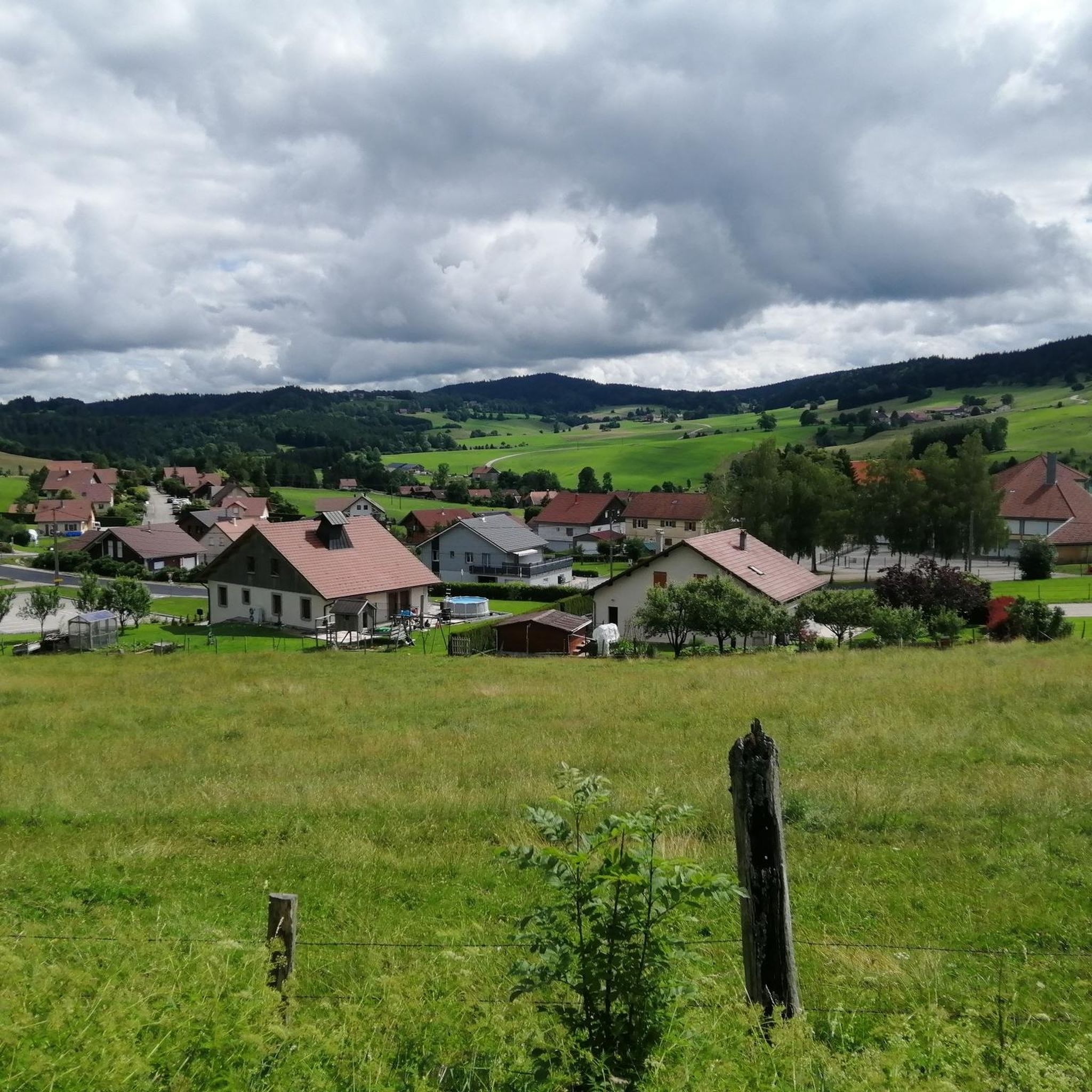
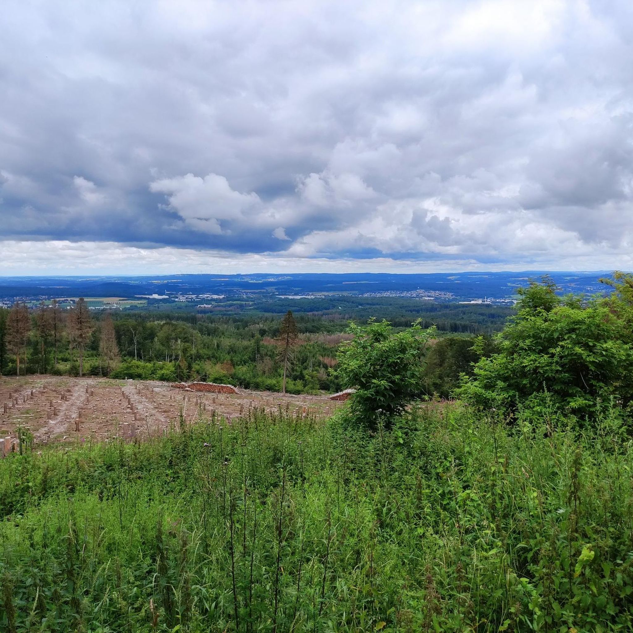
Road cycling around Vennes features a landscape characterized by rolling hills, forested areas, and river valleys, with several notable cols and ridges offering elevation challenges. The region's terrain includes a mix of open countryside and more secluded paths, providing varied cycling experiences. Road cyclists can expect routes that traverse through agricultural lands and ascend to viewpoints, often encountering natural water features like ponds and river sources. The area's topography is well-suited for moderate road cycling, with climbs leading to scenic…
Last updated: October 18, 2026
4.5
(2)
33
riders
54.7km
02:41
810m
810m
Moderate road ride. Good fitness required. Mostly well-paved surfaces and easy to ride.
4.5
(2)
33
riders
Moderate road ride. Good fitness required. Mostly well-paved surfaces and easy to ride.

4.0
(1)
23
riders
26.7km
01:14
270m
270m
Easy road ride. Great for any fitness level. Mostly well-paved surfaces and easy to ride.
18
riders
40.4km
01:55
400m
400m
Moderate road ride. Good fitness required. Mostly well-paved surfaces and easy to ride.
4.7
(3)
15
riders
35.5km
01:50
590m
590m
Moderate road ride. Good fitness required. Mostly well-paved surfaces and easy to ride.
Get access to more routes and recommendations from other explorers.
Already have an account?
Our route recommendations are based on thousands of hikes, rides, and runs completed by other people on komoot.
Start today with a free account
Your next adventure awaits.


Tips from the Community

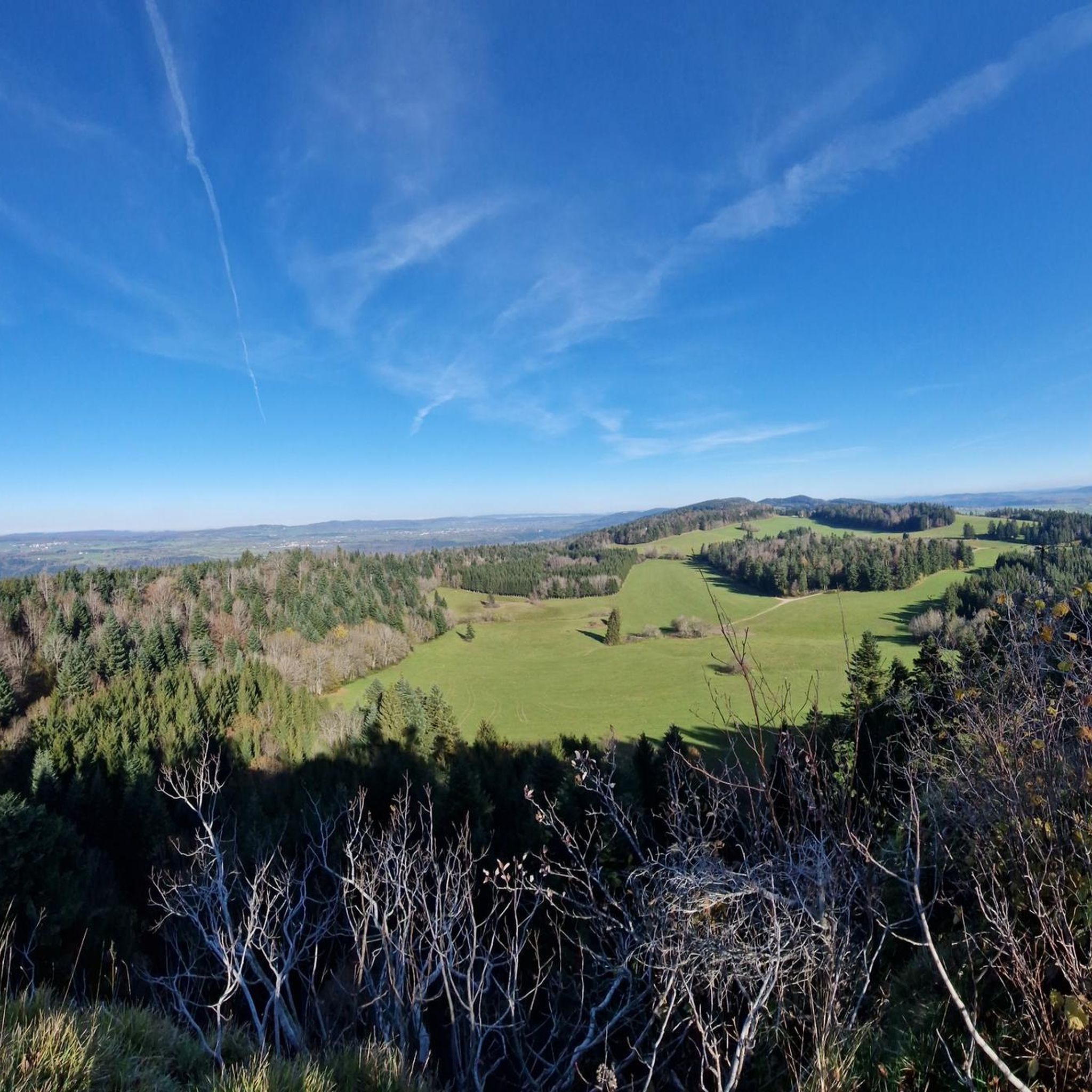
A unique promontory combining a place of worship and an exceptional panorama over the Val de Vennes and even the Jungfrau, a peak of over 4000m in the Bernese Alps in Switzerland!
0
0

Typo? Needs to be corrected... right?
0
0

A restaurant in the right place, it's worth taking the chance
0
0

along the DESSOUBRE
1
0

This hotel restaurant is located on the water's edge, at the confluence of the Dessoubre and the Reverotte. If you are a lover of river fish, you are in the right place for a foodie.
2
0

The Col du Tounet is 3.9 km long, with its highest point at 984 m. The uphill part is 3.2 km long. The average percentage of Col du Tounet is 3.3%. The route is suitable for all types of bikes.
1
0

Pretty, fairly regular climb over 3km at 5% on average. It leads to the Chapelle Sainte-Radegonde, built in 1541 and a major place of pilgrimage in the region until 1950. A restoration of the chapel took place in 1854, giving us the building we see today.
0
0
The Dessoubre has its source in the Cirque de Consolation, at Consolation-Maisonnettes, and meanders through this superb valley. The valley is also classified as ZNIEFF (natural zone of ecological, fauna and flora interest), which means that it is a natural space considered remarkable. The Consolation site itself is also known for its monastery, viewpoints, waterfalls and botanical gardens.
1
0
Frequently Asked Questions
How many road cycling routes are available around Vennes?
There are over 130 road cycling routes around Vennes, offering a diverse range of experiences from moderate loops to more challenging climbs. You'll find options for various skill levels.
Are there easy road cycling routes suitable for beginners or families in Vennes?
Yes, Vennes offers 11 easy road cycling routes that are well-suited for beginners or families looking for a more relaxed ride. These routes typically feature less elevation gain and smoother terrain.
What kind of terrain can I expect on road cycling routes in Vennes?
Road cycling around Vennes features a landscape characterized by rolling hills, forested areas, and river valleys. You'll encounter a mix of open countryside and more secluded paths, with routes often traversing agricultural lands and ascending to scenic viewpoints. Several notable cols and ridges offer elevation challenges.
Are there challenging climbs for advanced road cyclists in Vennes?
Absolutely. Vennes has 35 difficult road cycling routes that include significant elevation gains and challenging climbs. Routes like the Source of the Dessoubre loop from Orchamps-Vennes feature over 760 meters of ascent, providing a demanding experience for advanced riders.
What are some scenic highlights or viewpoints along the road cycling routes in Vennes?
Many routes in Vennes lead to scenic overlooks and natural features. You can find stunning views at Mont Vouillot Viewpoint, Roche Barchey viewpoint, and Roche du Prêtre Viewpoint. Some routes also pass by natural water features like the Lançot Waterfall or the dramatic Consolation Cirque.
Are there circular road cycling routes or loops available in Vennes?
Yes, many of the road cycling routes in Vennes are designed as loops, allowing you to start and finish at the same point. Examples include the Col du Tounet (965 m) loop from Guyans-Vennes and the Étang – Puits de Cival loop from Loray.
What do other road cyclists enjoy most about road cycling in Vennes?
The road cycling routes in Vennes are highly rated by the komoot community, with an average score of 4.3 stars from over 30 reviews. Cyclists often praise the varied terrain, the challenging climbs to cols and crêts, and the panoramic views of the surrounding landscape.
What is the best time of year for road cycling in Vennes?
The best time for road cycling in Vennes is typically from spring through autumn, when the weather is milder and the roads are clear. During these seasons, you can fully enjoy the region's rolling hills and forested paths. Winter cycling might be possible, but conditions can be more challenging due to colder temperatures and potential snow or ice, especially at higher elevations.
Are there routes that pass by water features like ponds or rivers?
Yes, the region's topography includes natural water features. For example, the Étang – Puits de Cival loop from Loray leads through areas with ponds, and other routes may follow river valleys or pass by sources like the Source of the Dessoubre.
Are there any historical or cultural landmarks to see while road cycling in Vennes?
While primarily known for its natural beauty, you can find some interesting landmarks. The Sainte-Radegonde Chapel is a notable point of interest, and the Girardot Mill offers a glimpse into the region's heritage.
How long do road cycling routes in Vennes typically take to complete?
Route durations vary depending on distance and elevation. Moderate routes like the Le Crêt Monniot – Col du Tounet (965 m) loop from Orchamps-Vennes can take around 2 hours, while shorter loops might be completed in under 1.5 hours. Longer, more challenging routes can extend to 3 hours or more.
Most popular attractions around Vennes

Get inspired with the komoot mobile app


Explore more
Browse the best Road cycling routes in other regions.
