The best MTB trails around Champagne-En-Valromey
4.3
(155)
915
riders
78
rides
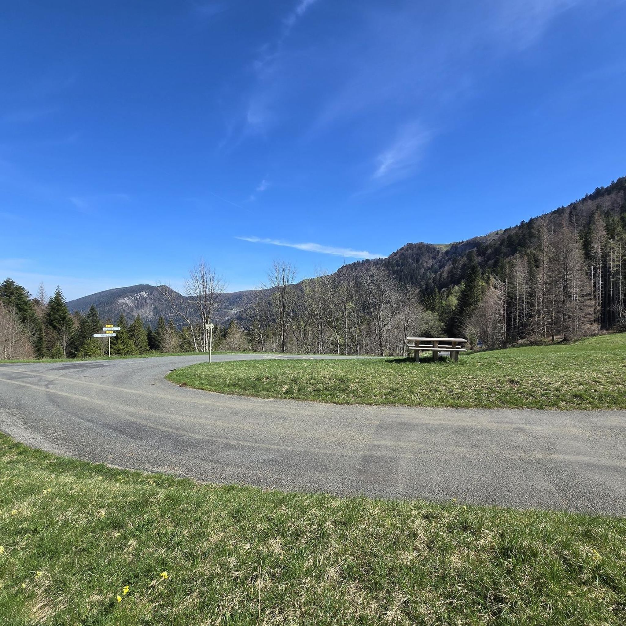
Mountain bike trails Champagne-En-Valromey offer diverse and unspoiled natural landscapes, making it an excellent destination for outdoor activities. The region features mountainous terrain with significant natural formations, including the Grand Colombier massif and the Plateau de Retord. Cyclists can explore picturesque boxwood, deciduous, pine, and beech forests, alongside impressive water features like the Cascade de Cerveyrieu and the Thurignin Gorges. The area also presents unique geological formations such as the Sugar Loaf waterfall and the Source du Groin.
Best mountain…
Last updated: October 14, 2026
5.0
(2)
19
riders
45.7km
04:15
1,120m
1,120m
Hard mountain bike ride. Very good fitness required. Advanced riding skills necessary.
4.0
(1)
10
riders
54.6km
05:19
1,450m
1,450m
Hard mountain bike ride. Very good fitness required. Suitable for all skill levels.

2
riders
24.7km
01:55
520m
520m
Hard mountain bike ride. Good fitness required. Advanced riding skills necessary. Some portions of the route may require you to push your bike.
4.0
(1)
4
riders
30.1km
01:57
140m
140m
Moderate mountain bike ride. Great for any fitness level. Advanced riding skills necessary.
2
riders
27.7km
02:02
580m
570m
Moderate mountain bike ride. Good fitness required. Suitable for all skill levels.
Get access to more routes and recommendations from other explorers.
Already have an account?
Our route recommendations are based on thousands of hikes, rides, and runs completed by other people on komoot.
Start today with a free account
Your next adventure awaits.
Popular around Champagne-En-Valromey
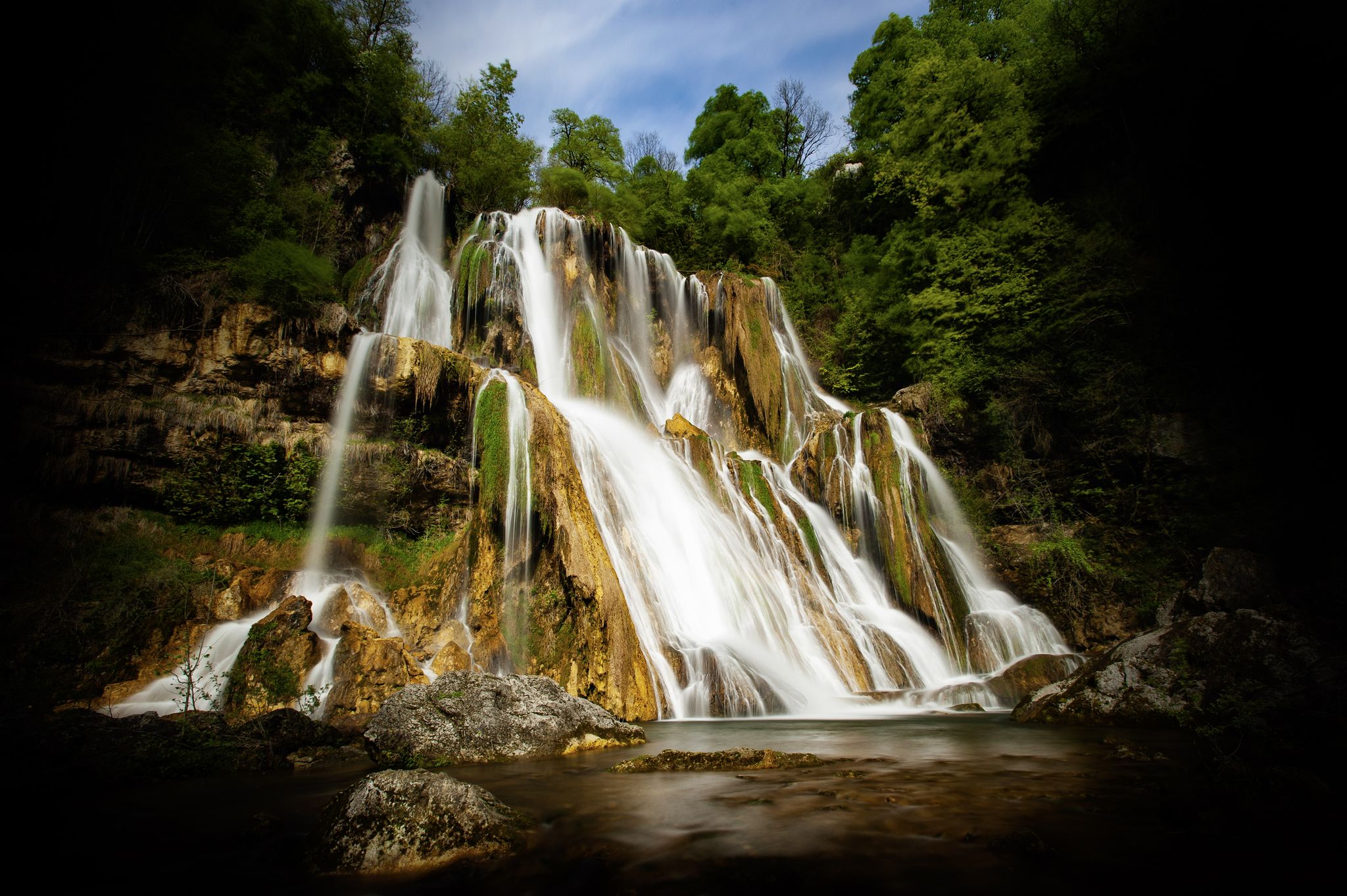
Randonnée cascades et curiosités géologiques du Bugey Sud
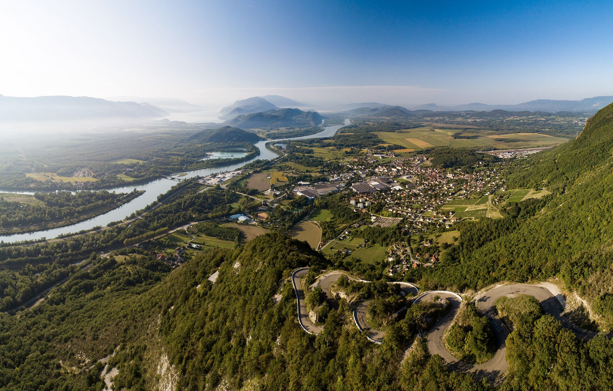
Top 14 des circuits vélo autour du Grand Colombier, de la ViaRhôna et du Plateau de Retord

Gravel biking around Champagne-En-Valromey

Hiking around Champagne-En-Valromey
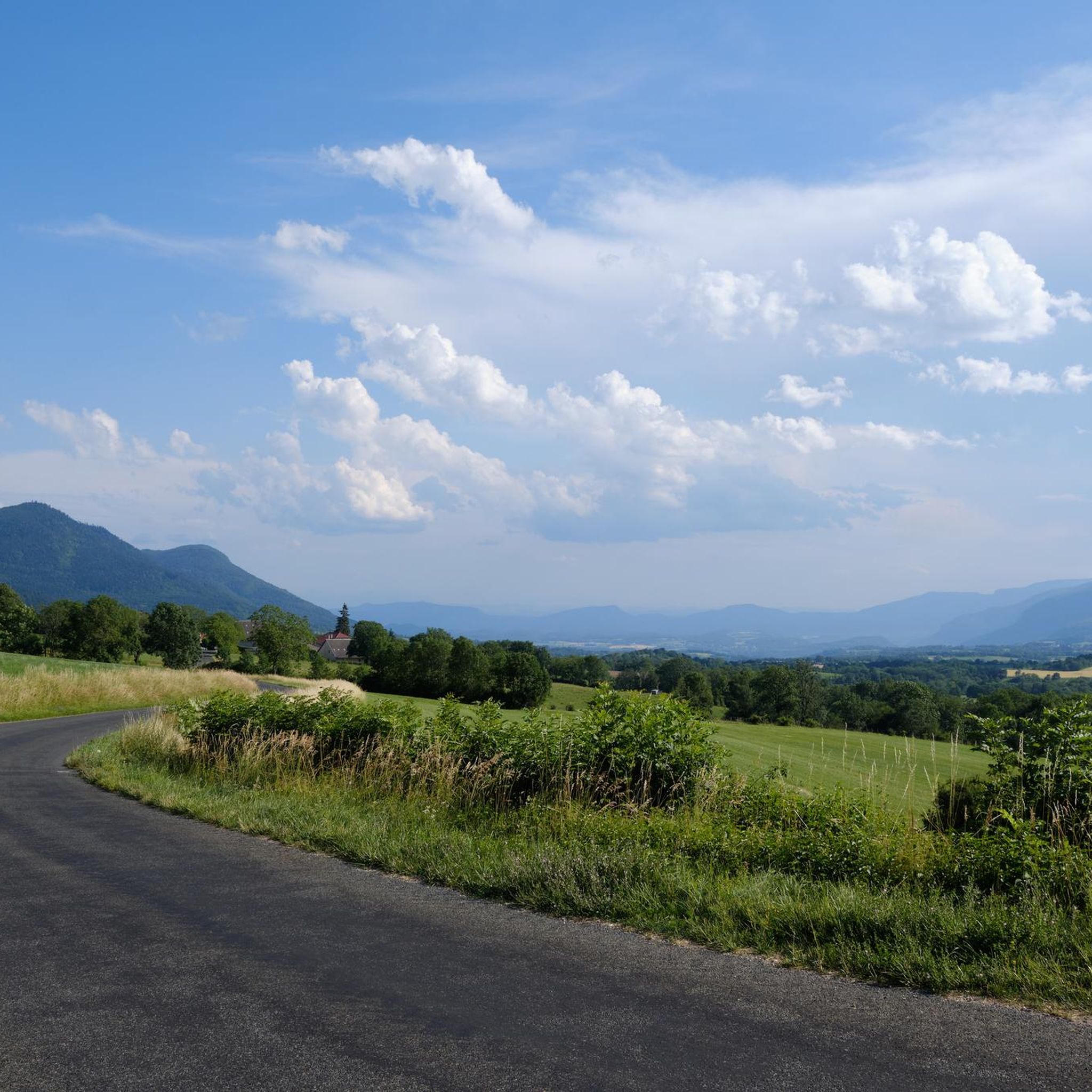
Road Cycling Routes around Champagne-En-Valromey
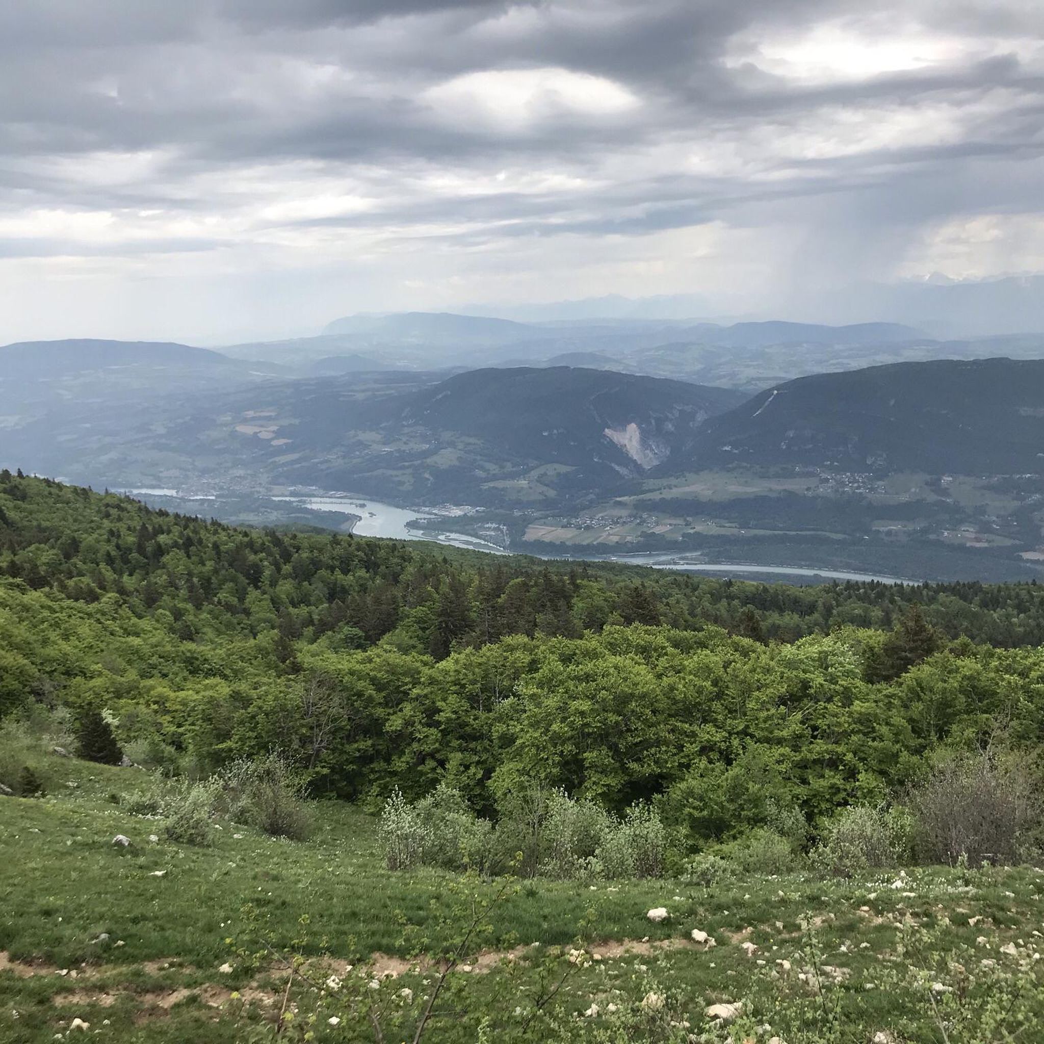
Running Trails around Champagne-En-Valromey
Cycling around Champagne-En-Valromey

Tips from the Community

Chapel at the foot of the cliff with fresh water source (non-consumable)
0
0

The Thurignin Gorges are a canyon in France carved by the Séran River, near the hamlet of Thurignin in the commune of Belmont-Luthézieu. https://fr.wikipedia.org/wiki/Gorges_de_Thurignin
0
0


A truly beautiful site, well worth the detour!
0
0

Magnificent "water canyon" dug into the rock by the liquid element...
0
0

This human-sized resort offers many activities available all year round. It is the starting point for VTT, Gravel and hiking circuits. It also has a biathlon stadium usable in summer and winter, unique in the Ain. Ideal for exploring the Jura massif.
0
0
Stele paying tribute to the Resistance fighters who took to the Maquis on the Plateau de Retord during the Second World War. Several information panels on the history of the Resistance fighters near the various farms occupied at the time.
0
0
Small pass at the crossroads of the Crêt du Nu, summit of the Plateau de Retord, the Mont Blanc de Beauregard panorama, the hamlet of Bergonnes and the resort of Plans d'Hotonnes.
1
0
Frequently Asked Questions
How many mountain bike trails are available in Champagne-En-Valromey?
Champagne-En-Valromey offers a wide selection of mountain bike trails, with over 70 routes available. These trails cater to various skill levels, ranging from easy to difficult, ensuring there's something for every mountain biker.
Are there mountain bike trails suitable for beginners or families in Champagne-En-Valromey?
Yes, Champagne-En-Valromey has several mountain bike trails suitable for beginners and families. There are 7 easy routes available, offering a gentler introduction to the region's beautiful landscapes. These trails typically feature less challenging terrain and elevation changes.
What are some challenging mountain bike trails for experienced riders in Champagne-En-Valromey?
Experienced riders seeking a challenge will find plenty of options, with 21 difficult routes in the area. One such demanding route is the Col de Richemond (1060 m) – Terments Cross loop from Sutrieu, a 54.6 km trail with significant elevation gain that takes over 5 hours to complete.
Are there mountain bike routes that pass by waterfalls or other unique natural features?
Absolutely. The region is rich in spectacular water features and geological curiosities. You can explore routes that lead to the impressive Cerveyrieu Waterfall, the captivating Thurignin Gorges, or the emerald-colored Source of the Groin. The unique Sugar Loaf (Pain de Sucre) waterfall is another notable geological formation worth discovering.
What kind of terrain can I expect on mountain bike trails in Champagne-En-Valromey?
The terrain in Champagne-En-Valromey is diverse, characterized by mountainous landscapes, dense forests, and impressive gorges. You'll encounter picturesque boxwood, deciduous, pine, and beech forests, as well as varied surfaces that can include unpaved and challenging segments, especially on moderate and difficult routes.
Are there any mountain bike trails that offer panoramic views?
Yes, many trails in the region provide breathtaking panoramic views. The Grand Colombier massif offers stunning vistas of the Alps and Mont Blanc. The "Tour of the Valromey Balcony" also provides spectacular panoramas overlooking the Séran River valley. Consider the Viewpoint – Groin Spring loop from Artemare for a route known for its scenic outlooks.
What do other mountain bikers enjoy most about mountain biking in Champagne-En-Valromey?
The komoot community highly rates mountain biking in Champagne-En-Valromey, with an average score of 4.3 stars from over 80 reviews. Riders often praise the diverse and unspoiled natural landscapes, the variety of trails catering to different skill levels, and the impressive natural features like waterfalls and gorges that can be explored along the routes.
Are there any loop mountain bike trails in the area?
Yes, many mountain bike trails in Champagne-En-Valromey are designed as loops, allowing you to start and finish at the same point. Examples include the Source of the Groin – Groin Spring loop from Vieu and the Thurignin Gorges – DESSENTE EXTREM loop from Vieu, which offer circular routes through the scenic landscape.
What is the best time of year for mountain biking in Champagne-En-Valromey?
The best time for mountain biking in Champagne-En-Valromey is generally from spring through autumn. During spring, the waterfalls and gorges are particularly impressive due to higher water flow. Summer offers refreshing spots near water features, while autumn provides beautiful foliage. Winter options may be limited due to snow, especially at higher elevations.
Are there any specific events or organized rides for mountain bikers in the region?
Yes, the region hosts events like the annual "La Valromeysanne," which starts from Champagne-En-Valromey and includes a dedicated discovery trail for mountain bikers. For more details on this event and other local cycling opportunities, you can check the official tourism website: ain-tourisme.com.
Where can I find parking for mountain bike trails in Champagne-En-Valromey?
Parking availability varies by trailhead. Many routes start from villages or designated parking areas. For specific routes, it's advisable to check the individual tour details on Komoot, as they often provide information on starting points and nearby parking facilities.
Can I bring my dog on the mountain bike trails in Champagne-En-Valromey?
While many outdoor activities in the region, such as cani-rando (hiking with dogs), are dog-friendly, specific regulations for mountain bike trails can vary. It's always best to check local signage or contact the regional tourism office for the most current information regarding dog access on particular trails to ensure a pleasant and respectful experience for all users and wildlife.
Most popular routes around Champagne-En-Valromey
Most popular attractions around Champagne-En-Valromey

Get inspired with the komoot mobile app


Explore more
Browse the best MTB trails in other regions.
