The best walks and hikes around Champagne-En-Valromey
4.4
(600)
3,552
hikers
174
hikes
Hiking around Champagne-En-Valromey offers diverse natural landscapes within the Bugey Sud region, characterized by tranquil rivers, emerald springs, and impressive waterfalls. The terrain includes peaceful forests, valleys, and mountain views, with the Grand Colombier massif and Fierloz plateau providing varied elevations. This area features a mix of environments, from waterside paths to higher viewpoints, suitable for different hiking preferences.
Best hiking trails around Champagne-En-Valromey
- The most popular hiking route is Gorges de Thurignin and Plateau de Fierloz, a 9.0…
Last updated: October 14, 2026
4.6
(24)
126
hikers
14.5km
04:15
370m
370m
Moderate hike. Good fitness required. Mostly accessible paths. Sure-footedness required.
4.9
(14)
50
hikers
7.45km
02:07
170m
170m
Moderate hike. Good fitness required. Easily-accessible paths. Suitable for all skill levels.

5
hikers
7.00km
02:07
230m
220m
Moderate hike. Good fitness required. Mostly accessible paths. Sure-footedness required.
11
hikers
Hard hike. Very good fitness required. Easily-accessible paths. Suitable for all skill levels.
3
hikers
6.71km
01:54
150m
140m
Easy hike. Great for any fitness level. Easily-accessible paths. Suitable for all skill levels.
Get access to more routes and recommendations from other explorers.
Already have an account?
Our route recommendations are based on thousands of hikes, rides, and runs completed by other people on komoot.
Start today with a free account
Your next adventure awaits.
Popular around Champagne-En-Valromey
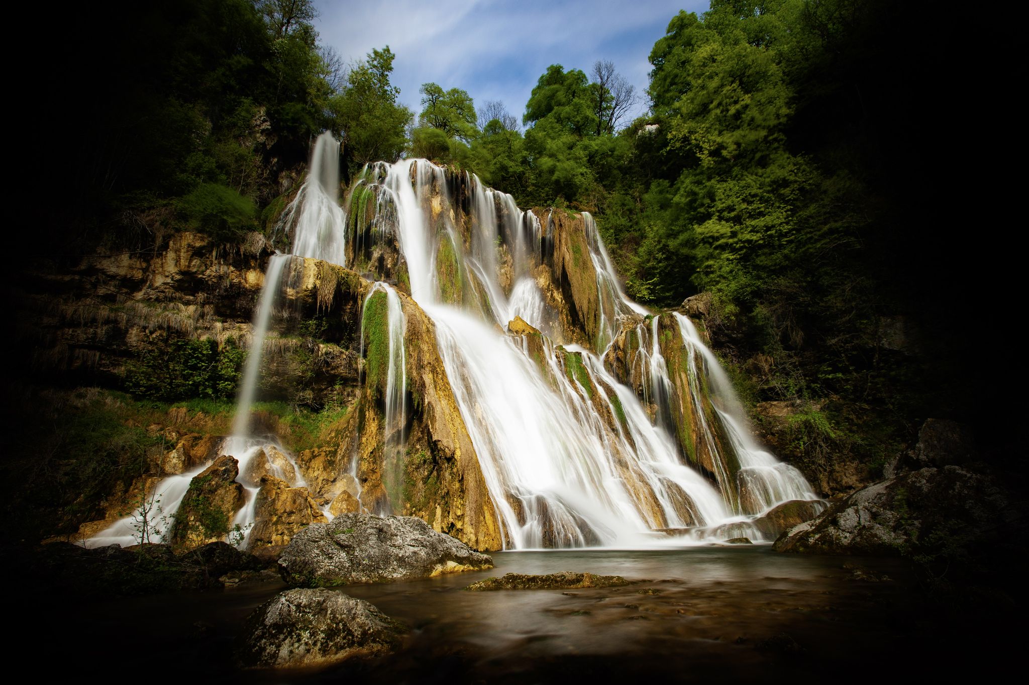
Randonnée cascades et curiosités géologiques du Bugey Sud
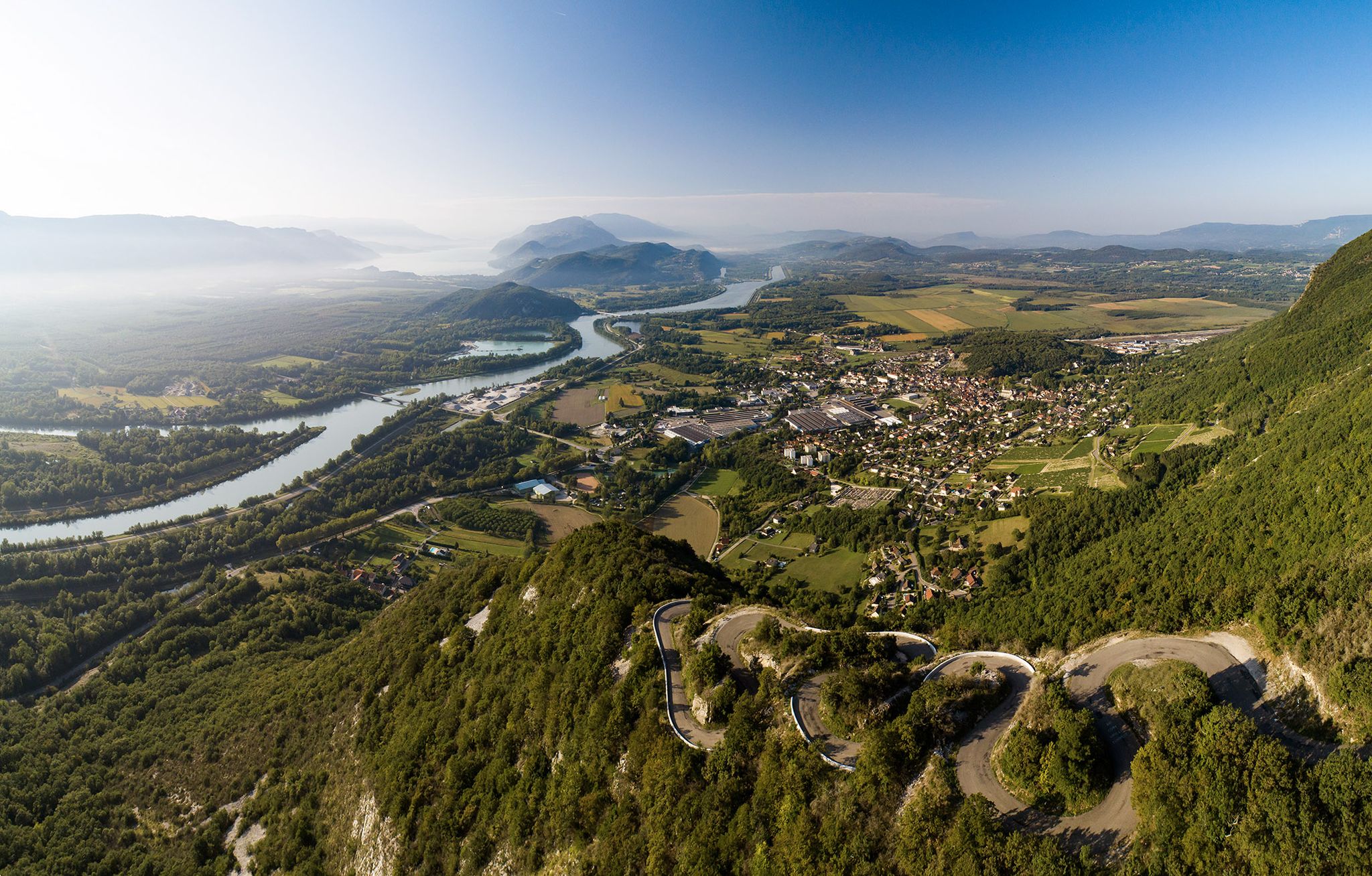
Top 14 des circuits vélo autour du Grand Colombier, de la ViaRhôna et du Plateau de Retord

Gravel biking around Champagne-En-Valromey
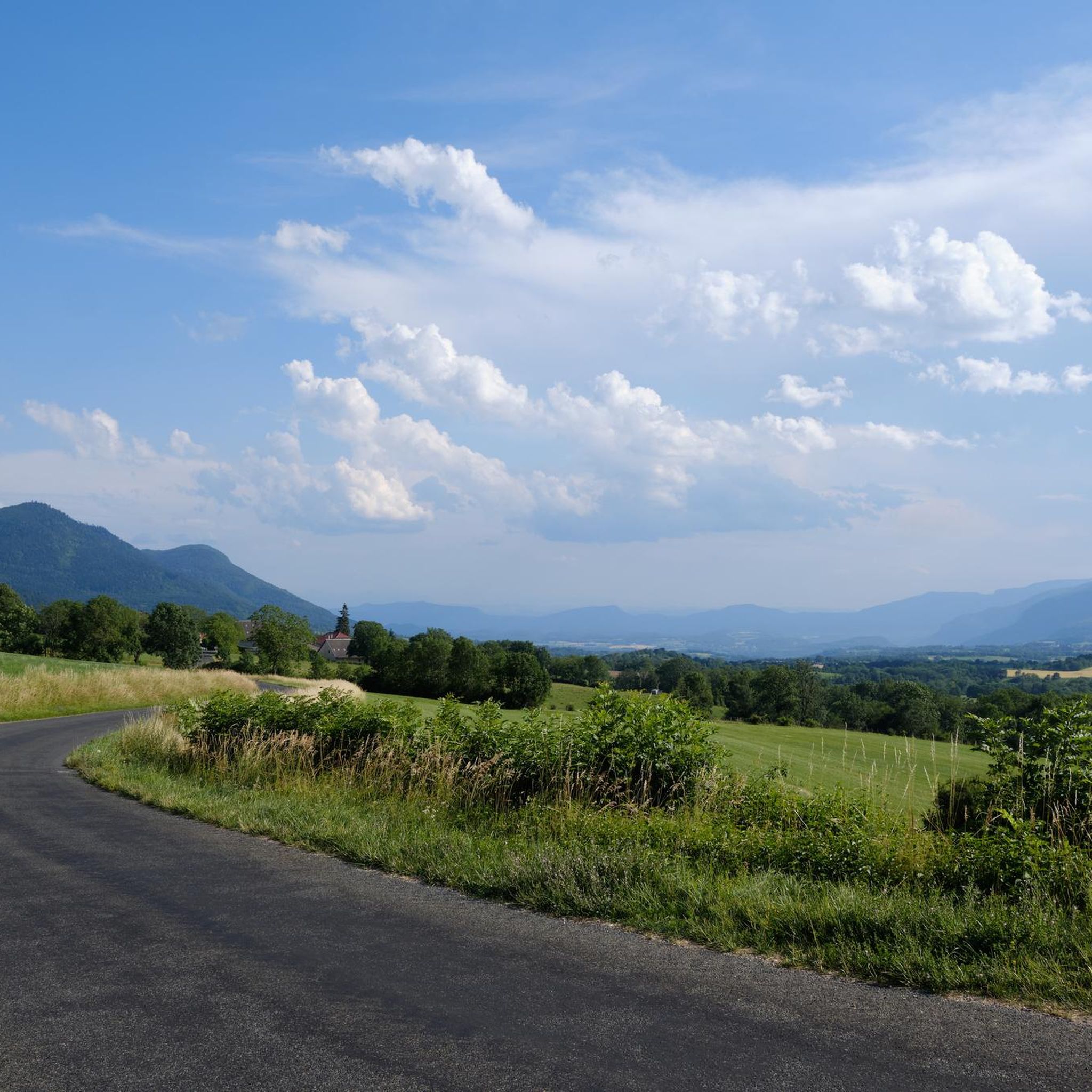
Road Cycling Routes around Champagne-En-Valromey
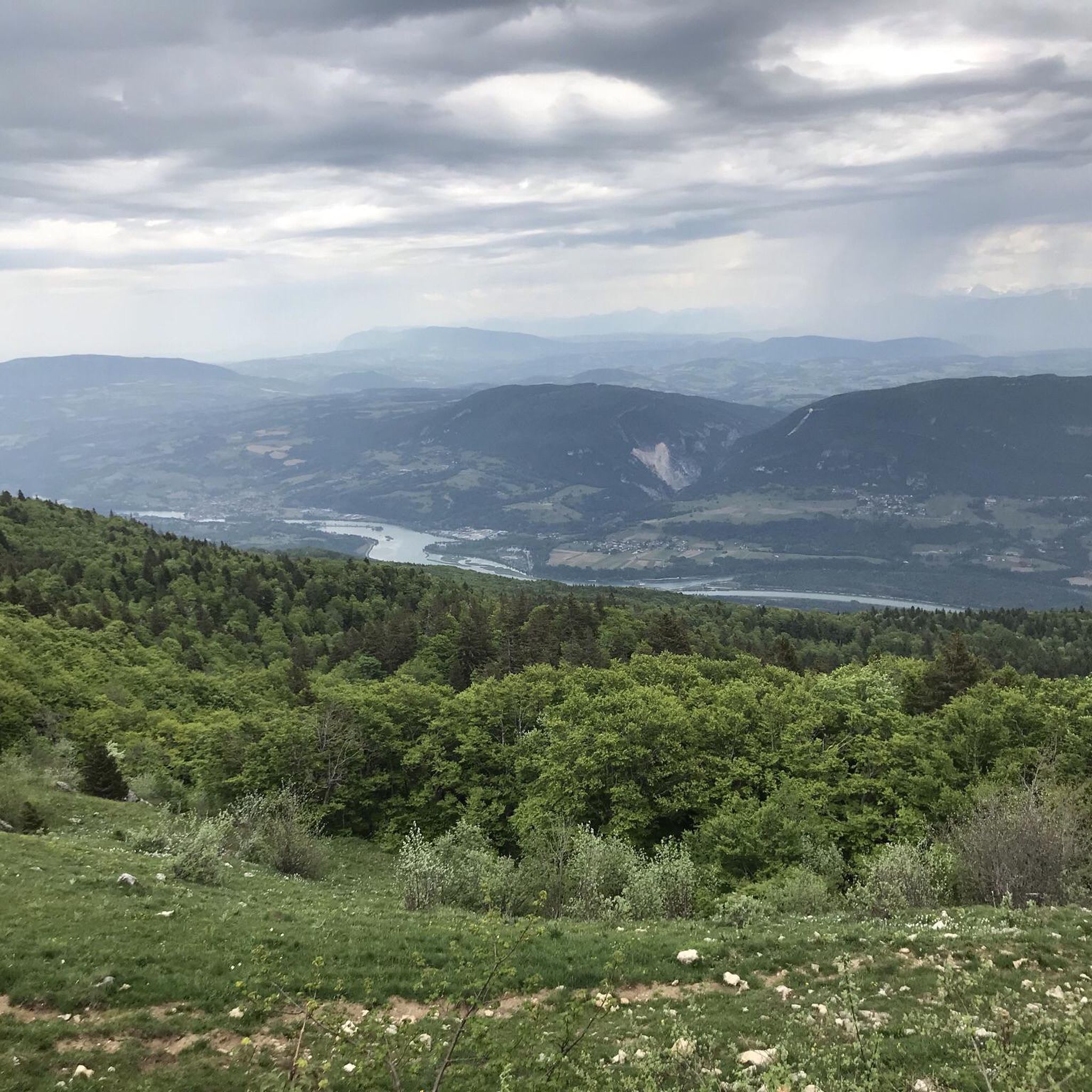
Running Trails around Champagne-En-Valromey
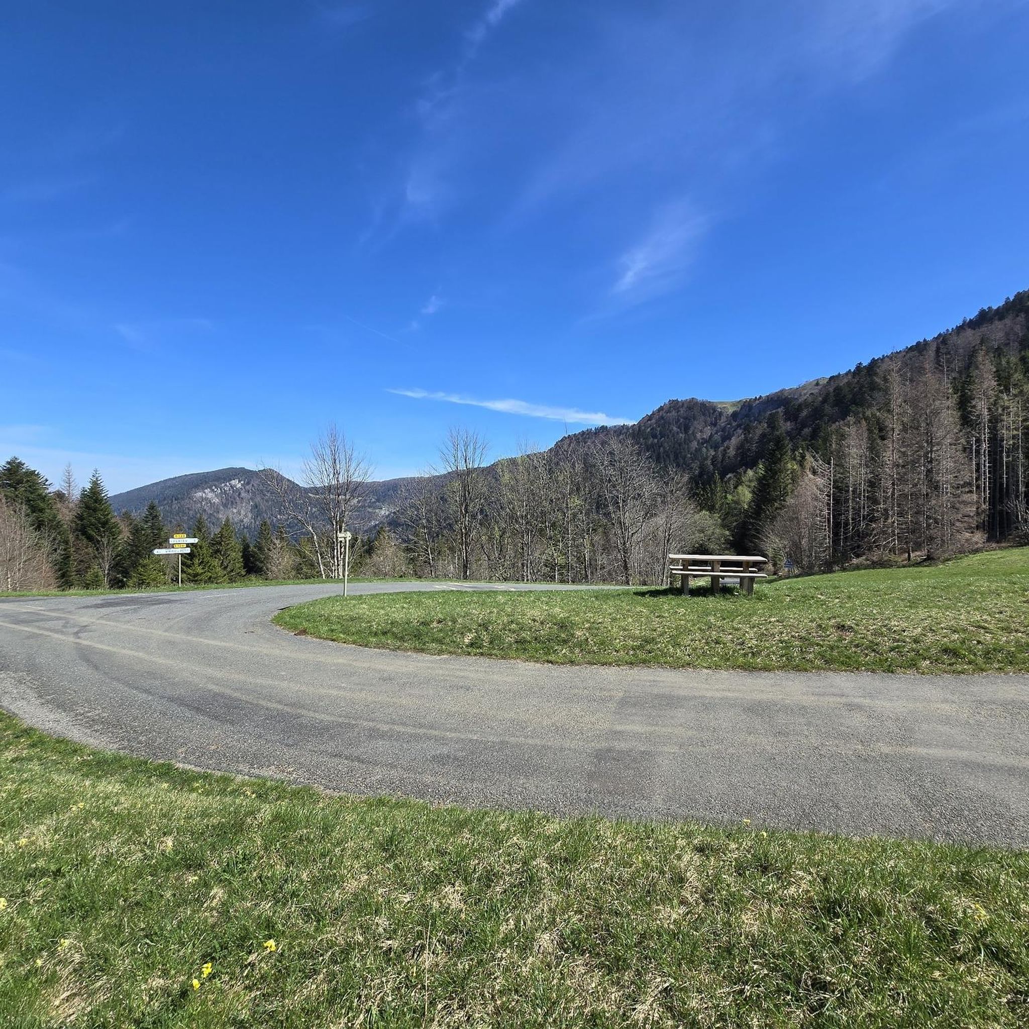
Cycling around Champagne-En-Valromey
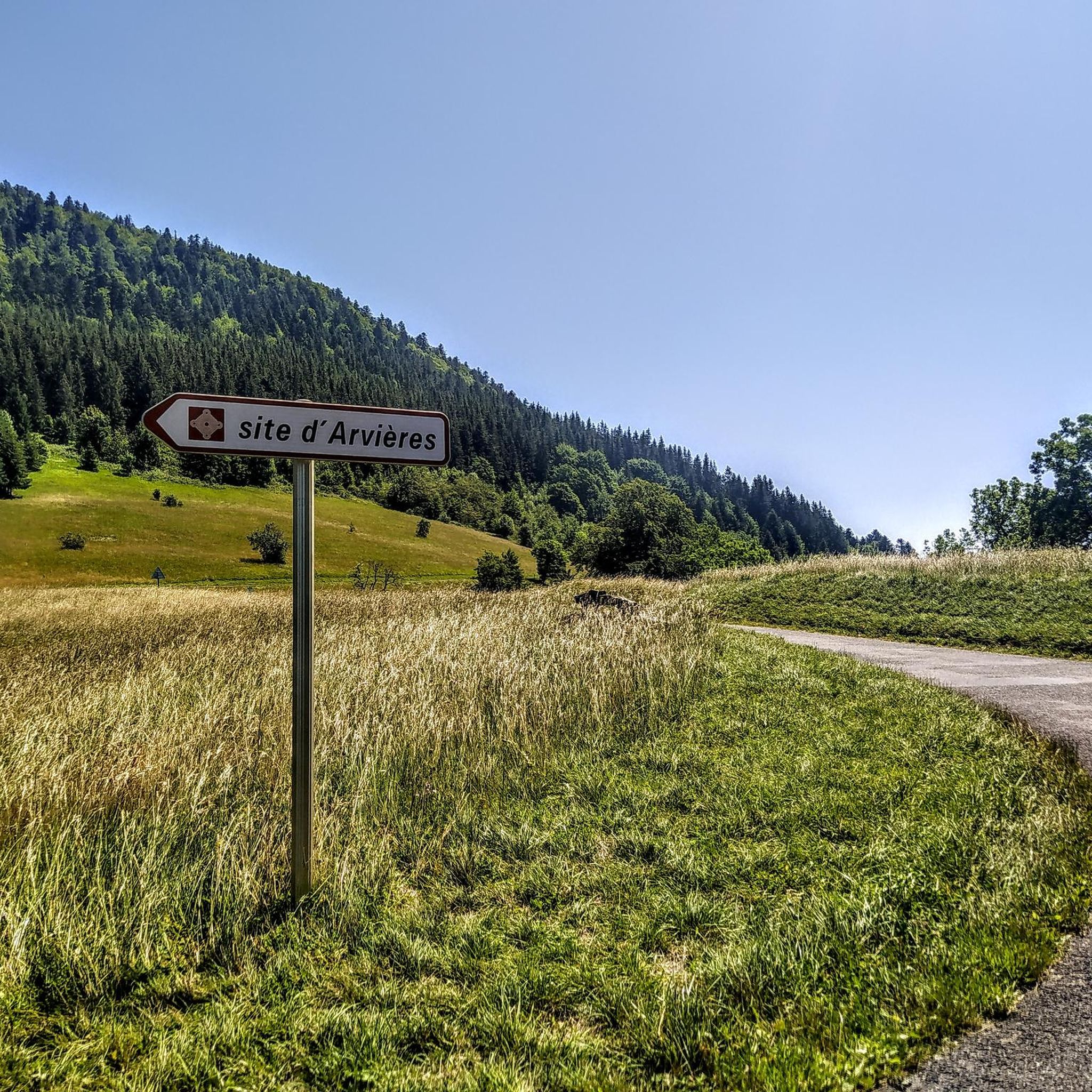
MTB Trails around Champagne-En-Valromey

Tips from the Community

Very beautiful route that will delight you
0
0

Chapel at the foot of the cliff with fresh water source (non-consumable)
0
0

The Thurignin Gorges are a canyon in France carved by the Séran River, near the hamlet of Thurignin in the commune of Belmont-Luthézieu. https://fr.wikipedia.org/wiki/Gorges_de_Thurignin
0
0

Located near Artemare, the Cerveyrieu waterfall is impressive with its wide curtain of water cascading down from a limestone cliff. This site, classified as a "sensitive natural area," is ideal for a break.
0
0

A very beautiful view of the valley and an impressive waterfall!
0
0
A truly beautiful site, well worth the detour!
0
0

Magnificent "water canyon" dug into the rock by the liquid element...
0
0

Small chapel dating from 1670 near a fountain, the end of the Roman aqueduct which crosses the village of Vieu and crosses this small cliff. Very beautiful viewpoint towards the south nearby.
0
0
Frequently Asked Questions
How many hiking trails are available around Champagne-En-Valromey?
There are over 170 hiking routes around Champagne-En-Valromey. This includes a diverse selection, with 35 easy trails, 95 moderate routes, and 43 more challenging hikes, ensuring options for all fitness levels.
What kind of terrain can I expect on hikes in Champagne-En-Valromey?
The terrain around Champagne-En-Valromey is varied, ranging from tranquil riverbanks and emerald springs to impressive waterfalls and panoramic mountain views. You'll find paths through peaceful forests, along valleys, and up to viewpoints, including the limestone formations of the Fierloz massif and the higher elevations of the Grand Colombier mountain.
Are there any family-friendly hiking options in the area?
Yes, Champagne-En-Valromey offers several easy trails suitable for families. These routes often feature gentle gradients and lead to natural attractions like waterfalls or springs, providing an enjoyable experience for all ages. For example, the Thurignin Gorges – Cerveyrieu Waterfall loop from Vieu is an easy option that takes you to a beautiful waterfall.
Can I bring my dog on the hiking trails?
Many trails in the Champagne-En-Valromey region are dog-friendly, allowing you to enjoy the natural beauty with your canine companion. However, it's always recommended to keep dogs on a leash, especially in protected areas or near livestock, and to check specific trail regulations before you go.
Are there any circular hiking routes around Champagne-En-Valromey?
Yes, many of the hiking routes in the area are circular, allowing you to start and end at the same point without retracing your steps. A popular example is the Groin Spring loop from Champagne-en-Valromey, which takes you along the Arvière river to the notable Source du Groin.
What natural features or landmarks can I see along the trails?
Hikers can discover a wealth of natural features and landmarks. You might encounter the wild Arvière river, the emerald Source du Groin, and impressive waterfalls like the Cerveyrieu Waterfall and the Claire Fontaine Waterfall. The Thurignin Gorges are also a notable natural monument. Additionally, you can find historical sites such as the Adoue site with its 17th-century chapel.
Where can I find panoramic viewpoints in the region?
For stunning panoramic views, consider trails that ascend to higher elevations. The Fierloz massif offers expansive vistas, and routes around the Grand Colombier mountain, such as the Grand Colombier Summit – Grand Colombier Pass loop from Arvière-en-Valromey, lead to viewpoints like the Grand Colombier Cross and orientation table, providing views of the valley, the Rhone, and even Mont Blanc on clear days from the Plateau de Retord.
What do other hikers enjoy most about hiking in Champagne-En-Valromey?
The area is highly rated by the komoot community, with an average score of 4.4 stars from over 480 reviews. Hikers often praise the diverse natural landscapes, including the tranquil rivers, impressive waterfalls, and captivating mountain views. The variety of terrain, from easy strolls to challenging ascents, is also frequently highlighted.
Is there public transport available to reach hiking trailheads?
While specific public transport options directly to every trailhead might be limited, the Bugey Sud region has some local transport services. For detailed information on bus routes and schedules that might connect to areas near Champagne-En-Valromey, it's best to consult local tourism resources or transport providers.
Are there designated parking areas for hikers?
Yes, many popular trailheads and natural attractions in and around Champagne-En-Valromey have designated parking areas. These are often clearly marked and provide convenient access to the start of your hike. It's advisable to check the starting point details of your chosen route for specific parking information.
What is the best time of year to go hiking in Champagne-En-Valromey?
The region is beautiful for hiking throughout much of the year. Spring and autumn offer pleasant temperatures and vibrant scenery, with wildflowers in spring and colorful foliage in autumn. Summer is also popular, especially for higher altitude trails, though some lower routes might be warmer. Winter hiking is possible, particularly on lower elevation trails, but requires appropriate gear and awareness of conditions.
Are there any trails that feature waterfalls?
Absolutely! The Champagne-En-Valromey area is rich with waterfalls. You can explore routes that lead to the majestic Cerveyrieu Waterfall, the largest in the Ain department, or the charming Claire Fontaine Waterfall. The Thurignin Gorges – Cerveyrieu Waterfall loop from Vieu is a great option to experience one of these natural wonders. For more waterfall-focused hikes, you can check resources like Hikes along the waterfalls.
Most popular routes around Champagne-En-Valromey
Most popular attractions around Champagne-En-Valromey

Get inspired with the komoot mobile app


Explore more
Browse the best Hikes in other regions.
