The best road cycling routes around Saint-Apollinaire
4.3
(698)
21,247
riders
561
rides
Road cycling around Saint-Apollinaire, France, is characterized by its varied terrain, offering routes through agricultural landscapes and along river valleys. The region features gentle hills and open countryside, providing a mix of easy and moderate cycling experiences. Cyclists can expect to encounter a network of secondary roads connecting villages and historical sites.
Best road cycling routes around Saint-Apollinaire
- The most popular road cycling route is Château d'Arcelot loop from Saint-Apollinaire, a 23.3 miles (37.5 km) trail that takes 1…
Last updated: October 15, 2026
5.0
(1)
81
riders
37.4km
01:28
150m
150m
Easy road ride. Great for any fitness level. Mostly well-paved surfaces and easy to ride.
34
riders
26.3km
01:03
80m
80m
Easy road ride. Great for any fitness level. Mostly well-paved surfaces and easy to ride.

4.0
(2)
34
riders
28.6km
01:13
100m
100m
Easy road ride. Great for any fitness level. Mostly well-paved surfaces and easy to ride.
3.0
(1)
17
riders
28.9km
01:09
100m
100m
Easy road ride. Great for any fitness level. Mostly well-paved surfaces and easy to ride.
3.7
(3)
15
riders
Easy road ride. Great for any fitness level. Mostly well-paved surfaces and easy to ride.
Get access to more routes and recommendations from other explorers.
Already have an account?
Our route recommendations are based on thousands of hikes, rides, and runs completed by other people on komoot.
Start today with a free account
Your next adventure awaits.
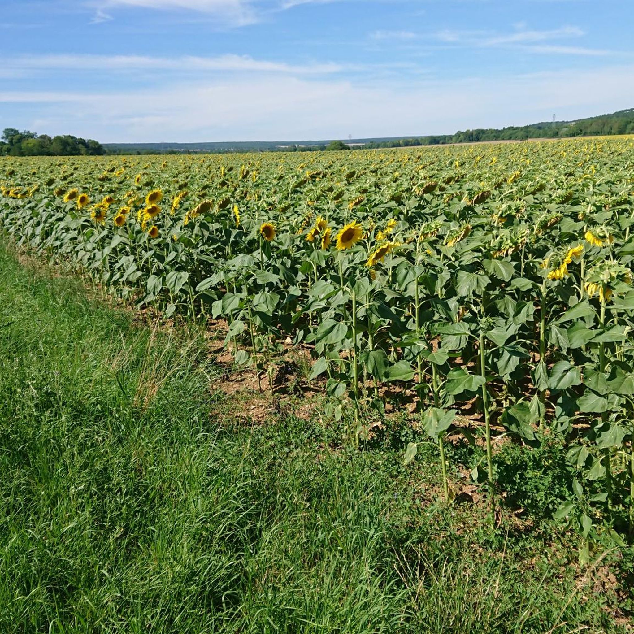
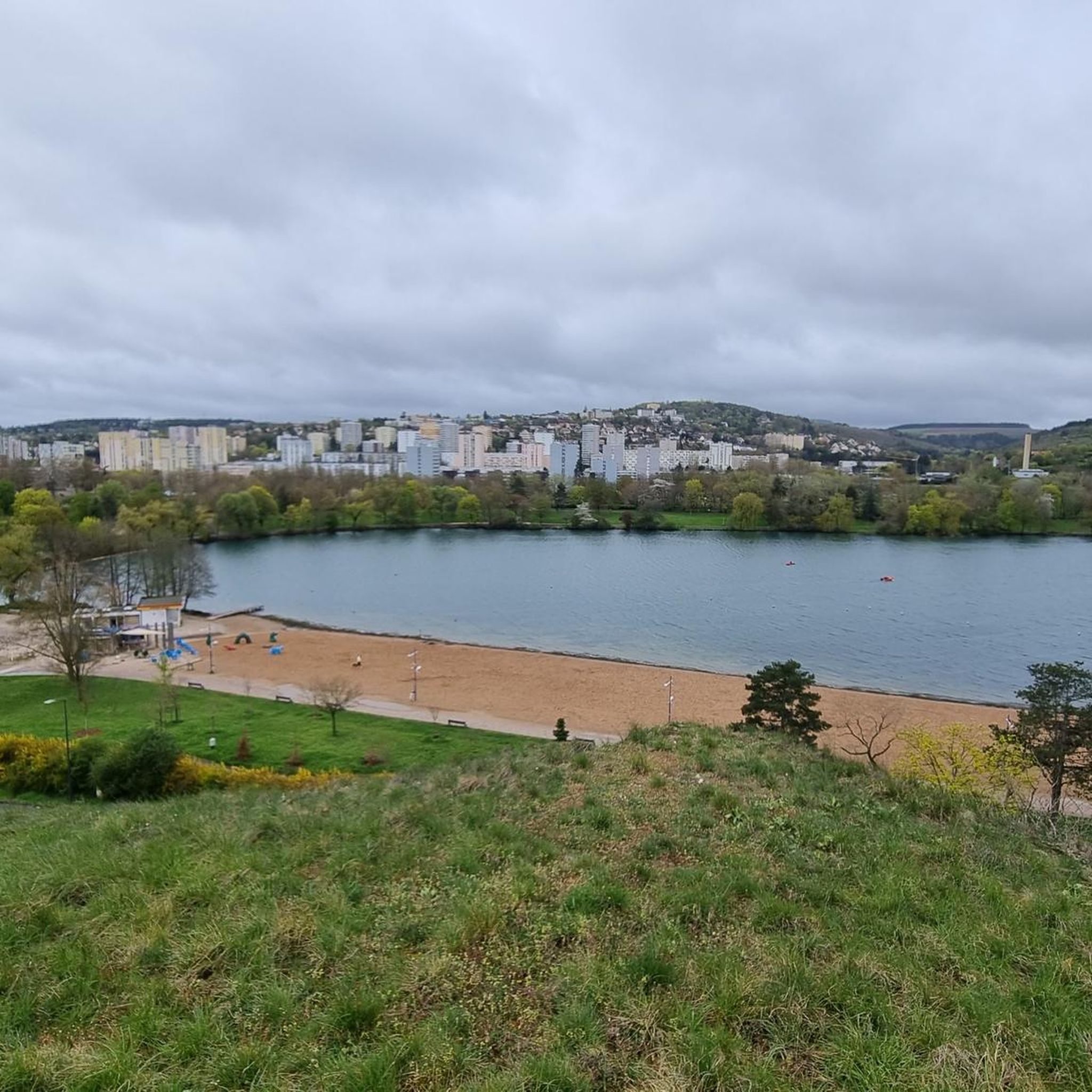

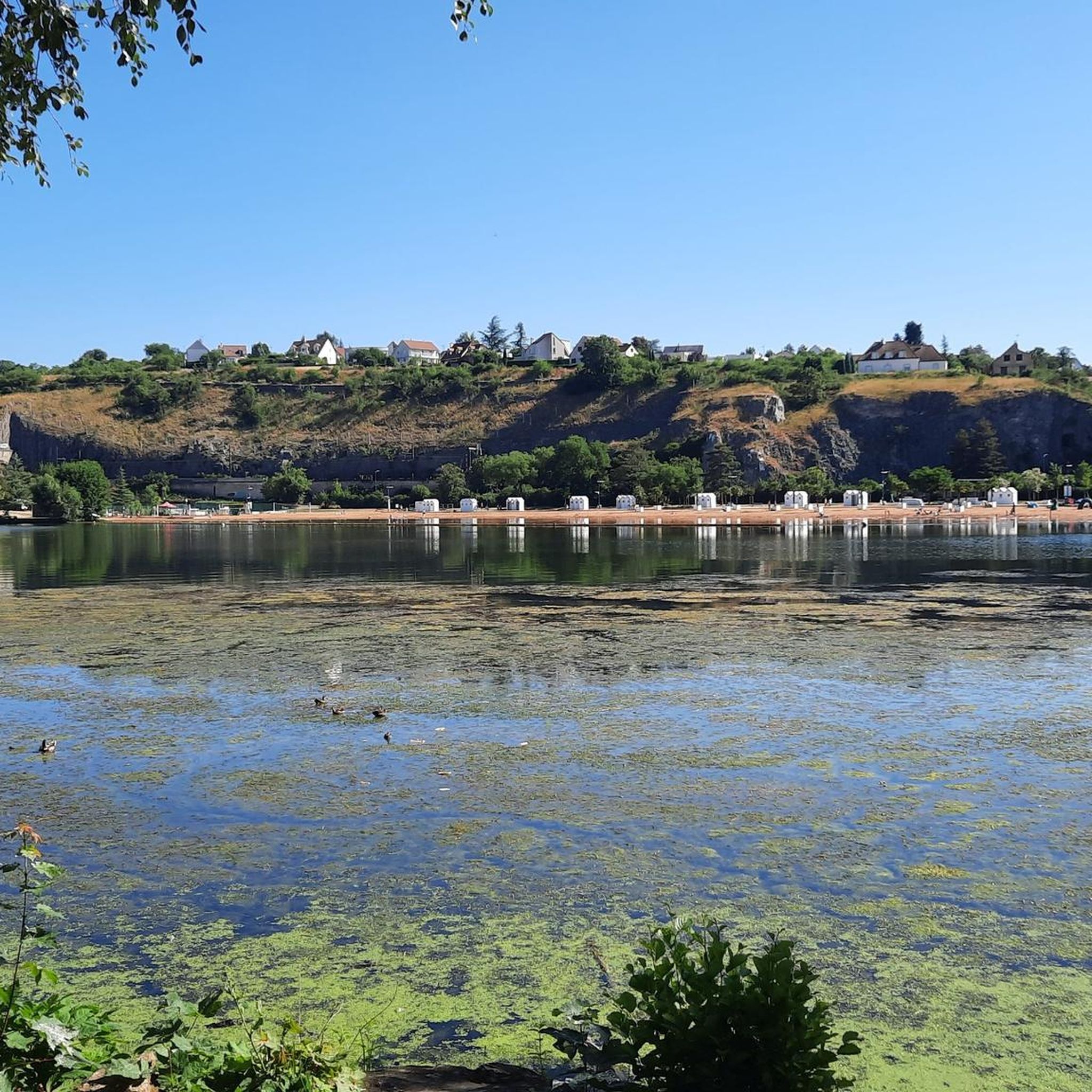

Tips from the Community


This is not a mountain bike segment but a cycle path that links Chevigny Saint Sauveur to Dijon.
0
0

pretty little Romanesque church.
0
0

A Catholic church, restored and with a cemetery. However, it is often closed. Open only on Christian holidays.
0
0

Located in the heart of the Burgundy countryside 10 km from Dijon, in the heart of a magnificent 50-hectare English-style park, the Château de Brognon welcomes you for a wedding, a baptism, a seminar, a a tasting, a birthday, a film shoot… Built in 1749 for the first President of the Parliament of Burgundy, this château has always remained in the same family.
0
0

One of many castles in France.
0
0

Frequently Asked Questions
How many road cycling routes are available around Saint-Apollinaire?
There are over 570 road cycling routes in the Saint-Apollinaire area. These routes offer a diverse range of experiences, including over 130 easy rides, more than 330 moderate options, and around 110 challenging routes for experienced cyclists.
What kind of terrain can I expect when road cycling in Saint-Apollinaire?
The region offers a varied terrain, from agricultural plains and river valleys with gentle hills to stunning alpine landscapes with challenging ascents. You'll find routes through open countryside, as well as high mountain passes and dramatic scenery characteristic of the Hautes-Alpes.
Are there any challenging climbs for experienced road cyclists in the area?
Yes, Saint-Apollinaire is known for its challenging climbs. The Côte de Saint-Apollinaire, featured in the Tour de France, is a 7.5 km ascent with an average gradient of 5%. Another notable climb is to Lac de Saint-Apollinaire, a 2.5 km climb averaging 7.2%, with sections reaching 9.3%. The broader Hautes-Alpes region also provides access to iconic passes like the Col d'Izoard and Col du Galibier for significant elevation changes.
What are some scenic viewpoints or natural features I can see along the routes?
Road cycling routes around Saint-Apollinaire offer numerous scenic highlights. You can enjoy panoramic views of Lac de Serre-Ponçon, the Morgon Peak, and the Boscodon massif from various points. The picturesque Lac de Saint-Apollinaire itself is a beautiful glacial lake. Additionally, the impressive Aiguilles de Chabrières limestone needles provide a dramatic backdrop to many rides.
Are there any circular road cycling routes suitable for a relaxed ride?
Absolutely. For a relaxed, circular ride, consider the Brognon Castle loop from Saint-Apollinaire. This easy 28.6 km path offers views of the local countryside and historical architecture with minimal elevation gain. Another option is the Roadbike loop from Mirande, an easy 25.9 km route.
What is the best time of year for road cycling in Saint-Apollinaire?
The best time for road cycling in Saint-Apollinaire is generally from late spring through early autumn. During these months, the weather is most favorable, and the high mountain passes are typically clear of snow, allowing access to the full range of routes and stunning alpine vistas.
Are there any routes that pass by historical sites or landmarks?
Yes, several routes offer glimpses of local history and architecture. The Brognon Castle loop from Saint-Apollinaire is an easy ride that passes by historical architecture. The region also features charming villages and structures that reflect its rich heritage, such as the half-timbered houses in Dijon's Old Town, which can be reached on longer rides.
What do other road cyclists say about the routes in Saint-Apollinaire?
The road cycling routes in Saint-Apollinaire are highly rated by the komoot community, with an average score of 4.4 stars from over 475 reviews. Cyclists often praise the varied terrain, from quiet country roads to challenging alpine climbs, and the stunning natural beauty of the Hautes-Alpes region.
Are there any long-distance road cycling options around Saint-Apollinaire?
For longer rides, the perimeter of Lac de Serre-Ponçon offers various loops, including options around 71 km with 1400 m elevation, and longer routes up to 108 km with 2000 m elevation. These provide magnificent viewpoints and a significant challenge. The Quetigny – Tille River at Cessey-sur-Tille loop from Quetigny is also a good option at 53.3 km.
Can I find routes suitable for a family outing?
While the region is known for its alpine challenges, there are also easier routes suitable for families. The agricultural plains and river valleys offer paths with minimal elevation gain, such as the Quetigny – Bridge over the Mirande loop from Burgundy-Europe University, which is an easy 28.9 km ride through pleasant countryside.
What makes Saint-Apollinaire a unique destination for road cycling?
Saint-Apollinaire's unique appeal for road cycling stems from its inclusion in the Tour de France route, offering cyclists the chance to tackle iconic climbs like the Côte de Saint-Apollinaire. Its location in the Southern French Alps provides a blend of challenging ascents, serene glacial lakes like Lac de Saint-Apollinaire, and access to the dramatic landscapes of the Écrins National Park, all away from heavy traffic on secondary roads.
Most popular routes around Saint-Apollinaire
Most popular attractions around Saint-Apollinaire

Get inspired with the komoot mobile app


Explore more
Browse the best Road cycling routes in other regions.
