The best walks and hikes around Conquereuil
4.3
(77)
372
hikers
71
hikes
Hiking around Conquereuil offers a diverse landscape characterized by woodlands, valleys, and water features. The region features gentle elevation changes, making it suitable for various hiking abilities. Trails often lead through forested areas and past ponds, providing varied scenery and natural points of interest.
Best hiking trails around Conquereuil
- The most popular hiking route is Fairies' Trail, a 7.9 miles (12.6 km) trail that takes 3 hours 24 minutes to complete. This moderate trail features varied terrain and passes…
Last updated: July 4, 2026
4.5
(4)
31
hikers
12.6km
03:24
160m
170m
Moderate hike. Good fitness required. Easily-accessible paths. Suitable for all skill levels.
4.3
(8)
11
hikers
4.18km
01:09
70m
70m
Easy hike. Great for any fitness level. Easily-accessible paths. Suitable for all skill levels.

Sign up for free
4.2
(6)
37
hikers
15.7km
04:20
280m
280m
Moderate hike. Good fitness required. Easily-accessible paths. Suitable for all skill levels.
3.7
(3)
28
hikers
19.5km
05:22
310m
310m
Hard hike. Very good fitness required. Easily-accessible paths. Suitable for all skill levels.
4.3
(7)
29
hikers
8.52km
02:17
100m
100m
Moderate hike. Good fitness required. Easily-accessible paths. Suitable for all skill levels.
Get access to more routes and recommendations from other explorers.
Sign up for free
Already have an account?
Our route recommendations are based on thousands of hikes, rides, and runs completed by other people on komoot.
Start today with a free account
Your next adventure awaits.
Login or Signup


Tips from the Community

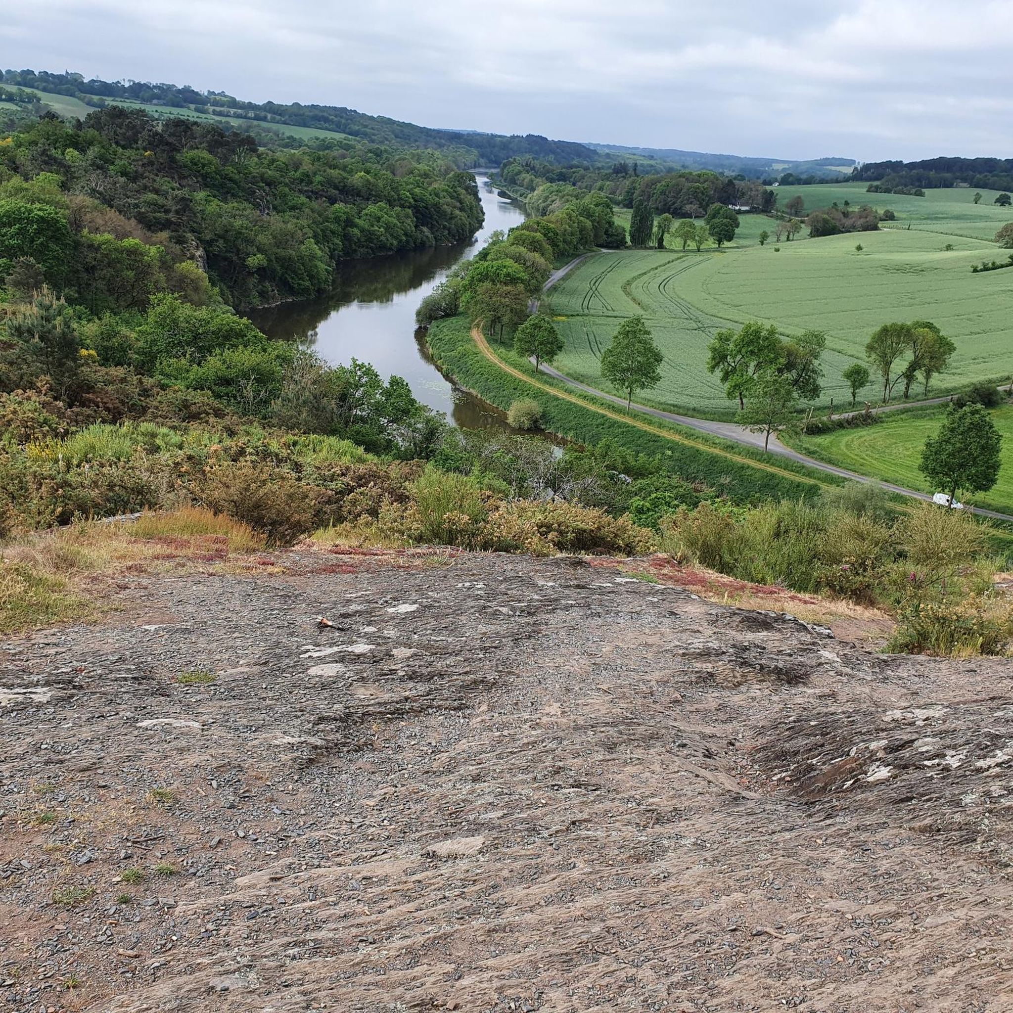
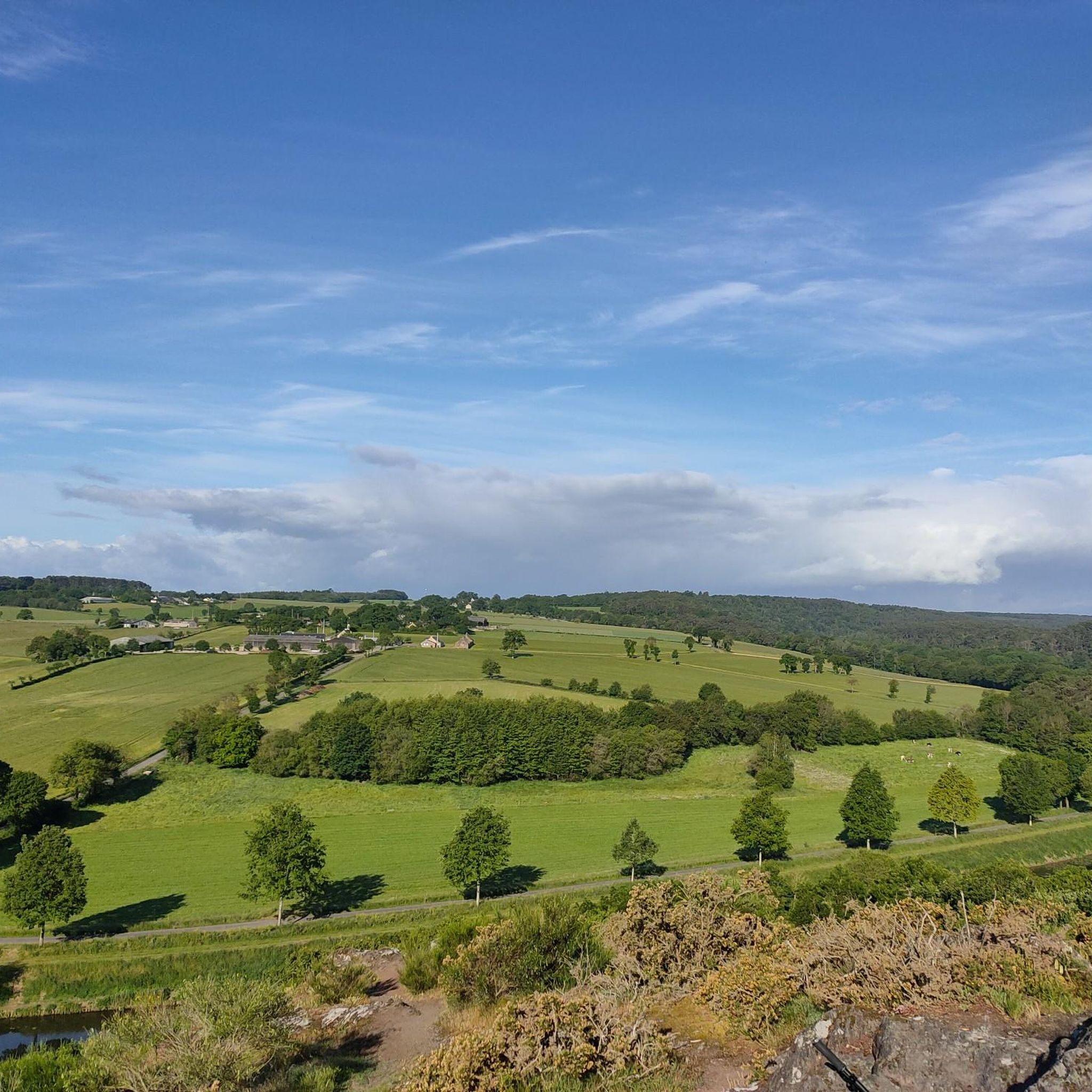
Some very beautiful views of the valley and the Don. Be careful when going down, some steps are quite high and in wet weather.
0
0

It is a beautiful pond surrounded by woods and rocks, where you can enjoy the nature and history of the area.
2
0
The Rocs de Gascaigne are a magnificent natural area on the slopes of the Don Valley, where you can admire the rocky cliffs, the pine forest and the rare plants and animals that live there.
2
0
The Chapel of the Holy Places in Guémené-Penfao is also known as the Chapelle Sainte-Anne-de-Lssaisnt. It overlooks the Don Valley and was built on the site of a former leper colony. It has frescoes describing the legends and history of the place. The chapel is open on weekends and public holidays and has a picnic area and toilets. You can also enjoy the view of the valley and the old Roman road that passes nearby. You can also participate in the annual pilgrimage and open-air mass dedicated to Saint Anne, which takes place on the last Sunday in July. This hike is an excellent way to discover the natural and cultural heritage of the Pays de Redon.
2
0
Etang de la Roche is a beautiful lake surrounded by nature where you can enjoy views of the water, trees and wildlife, and go fishing or canoeing if you wish. The lake is part of the Domaine de la Roche, a 22-hectare space which offers various activities and facilities to visitors. Étang de la Roche is an ideal destination for a peaceful and refreshing hike in nature.
2
0

The site of the Holy Places is an enchanting place. Built on the site of a former leper colony, near Guénouvry, the chapel overlooks the Don Valley with a breathtaking view. The frescoes it contains represent both the history of this site and the legends.
0
0
Frequently Asked Questions
How many hiking trails are there around Conquereuil?
Conquereuil offers a wide selection of routes, with over 60 hiking trails available. These range from easy strolls to more challenging treks, catering to various experience levels.
Are there easy hiking trails suitable for beginners or families in Conquereuil?
Yes, Conquereuil has many easy trails perfect for a relaxed outing. The Rocs de Gascaigne Circuit is an easy 2.6-mile (4.2 km) path that offers views of unique rock formations and is suitable for an easy outing with minimal elevation changes.
What kind of terrain can I expect on hikes in Conquereuil?
The region's trails are characterized by diverse terrain, including woodlands, valleys, and water features. You'll find gentle elevation changes, and many paths lead through forested areas and past ponds, offering varied scenery. Some routes, like those near the Rocs de Gascaigne, also feature interesting rock formations.
Are there any circular hiking routes in Conquereuil?
Yes, many trails in Conquereuil are designed as circular routes, allowing you to start and end at the same point. A popular option is the Valley Pond – Rocs de Gascaigne loop from Mézillac, an 8.5 km (5.3 miles) trail that takes you through forested areas and past the notable Rocs de Gascaigne.
Are Conquereuil's hiking trails dog-friendly?
Most natural trails in Conquereuil are generally dog-friendly, especially those through woodlands and open countryside. However, it's always recommended to keep dogs on a leash, especially near livestock or in protected natural areas, and to check specific trail regulations if posted. Always carry water for your dog.
What are the best seasons for hiking in Conquereuil?
Spring and autumn are ideal for hiking in Conquereuil, offering pleasant temperatures and beautiful scenery as the foliage changes or blooms. Summer can also be enjoyable, especially on shaded woodland trails, but be prepared for warmer weather. Winter hiking is possible, but some paths might be muddy, so appropriate footwear is essential.
Are there any advanced or more challenging hiking routes in the area?
For those seeking a greater challenge, Conquereuil does offer some longer and more demanding routes. The Valley Pond – Rando foret de guemene loop from Conquereuil is a difficult 19.5 km (12.1 miles) trail with significant elevation changes, providing a more strenuous experience through the forest.
What interesting landmarks or attractions can I see while hiking around Conquereuil?
While hiking, you can discover several points of interest. The Chapel of the Holy Sites and La Magdelaine Chapel in Iff are notable religious buildings. Nature lovers might enjoy the serene La Roche Pond. These attractions can often be incorporated into longer hikes or visited separately.
Is there public transport access to the hiking trailheads in Conquereuil?
Public transport options directly to specific trailheads in Conquereuil can be limited, as many routes start from smaller villages or rural areas. It is advisable to check local bus schedules in advance or consider driving to the starting points, especially for trails further afield. Parking is generally available near popular trailheads.
What do other hikers enjoy most about hiking in Conquereuil?
The hiking experience in Conquereuil is highly regarded by the komoot community, with an average rating of 4.3 stars from over 70 reviews. Hikers often praise the region's varied terrain, the tranquility of the woodlands, and the natural beauty of the ponds and unique rock formations like the Rocs de Gascaigne.
Are there any trails that pass by cafes or places to eat in Conquereuil?
While many trails in Conquereuil lead through natural, undeveloped areas, some routes may pass through or near villages where you can find local cafes or eateries. It's always a good idea to plan your route and check for amenities in nearby towns before you set out, or pack your own refreshments. The highlight On the menu: smelt suggests a local dining option.
What should I bring for a hike in Conquereuil?
For hiking in Conquereuil, essential items include comfortable hiking shoes suitable for varied terrain, water, snacks, and appropriate clothing layers for changing weather. A map or GPS device (like komoot) is recommended for navigation. Depending on the season, insect repellent and sun protection can also be useful.
Most popular routes around Conquereuil
Most popular attractions around Conquereuil

Get inspired with the komoot mobile app


Explore more
Browse the best Hikes in other regions.
