The best running trails around Saint-André-De-Lancize
3.8
(4)
266
runners
42
runs
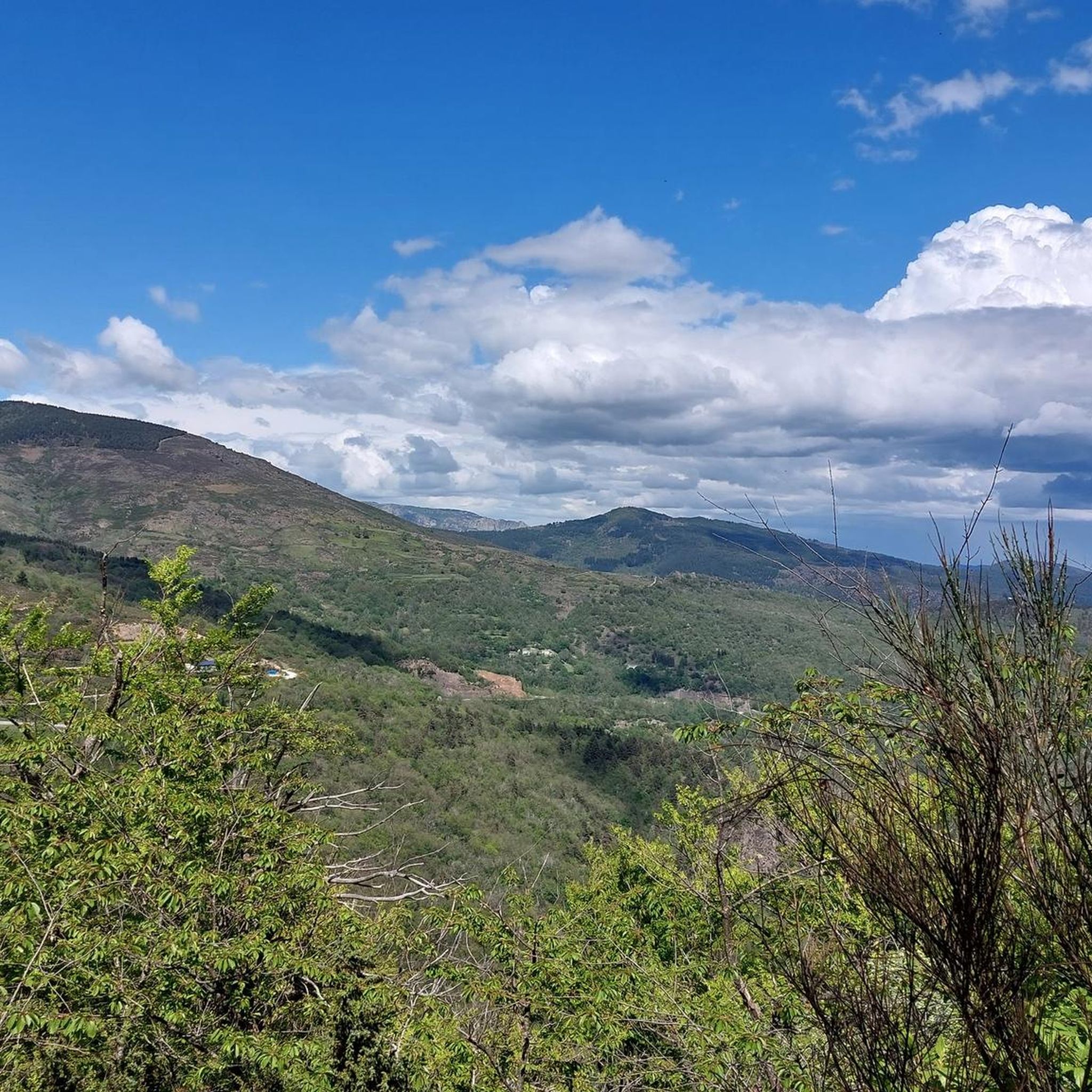
Jogging routes around Saint-André-De-Lancize offer varied terrain within the Cévennes region of southern France, a UNESCO World Heritage site. The area features undulating landscapes with elevations ranging from 376 to 1,351 meters, providing both moderate and challenging running paths. Runners can explore wild forests of pine, oak, and chestnut, as well as valleys shaped by rivers and mountain streams. The region is part of the Cévennes National Park, known for its diverse flora and fauna.
Best jogging routes around Saint-André-De-Lancize
…Last updated: June 24, 2026
8
runners
Hard run. Good fitness required. Sure-footedness, sturdy shoes and alpine experience required.
14
runners
Hard run. Very good fitness required. Mostly paved surfaces. Suitable for all skill levels.

Sign up for free
16
runners
42.2km
04:37
760m
760m
Hard run. Very good fitness required. Mostly paved surfaces. Suitable for all skill levels.
8
runners
12.3km
01:33
290m
290m
Moderate run. Good fitness required. Mostly paved surfaces. Suitable for all skill levels.
8
runners
Hard run. Very good fitness required. Mostly paved surfaces. Suitable for all skill levels.
Get access to more routes and recommendations from other explorers.
Sign up for free
Already have an account?
Our route recommendations are based on thousands of hikes, rides, and runs completed by other people on komoot.
Start today with a free account
Your next adventure awaits.
Login or Signup
Popular around Saint-André-De-Lancize

Other adventures around Saint-André-De-Lancize

Tips from the Community

A simple place with an incredible view of the rock that exudes a peaceful atmosphere. A short break under a tree (for very hot weather), the magic of the Claroudens menhir and dolmen, and a megalithic chest for a timeless feeling. Breathe.
0
0

Beautiful section of the GR7
4
0
Beautiful village, located on the Tharn. Possible stop on the Stevenson Trail and the GR7
5
0

Beautiful view over the valley. The ruins can be visited, but the ceiling of the basement has partially collapsed, so be careful of holes.
1
0


fantastic tunnels, it feels like a movie
1
0
Very pretty, Ardèche energy, friendly
2
0

Le Merlet is a hamlet at an altitude of 795 meters. If you are looking for a place to rest in the middle of the green hills, here you will find two lodges.
0
0
Frequently Asked Questions
How many running routes are available in Saint-André-De-Lancize?
There are over 40 running routes around Saint-André-De-Lancize, offering a wide range of options for different fitness levels. The terrain is varied, with elevations ranging from 376 to 1,351 meters, ensuring both moderate and challenging paths.
What kind of terrain can I expect on the jogging trails in this region?
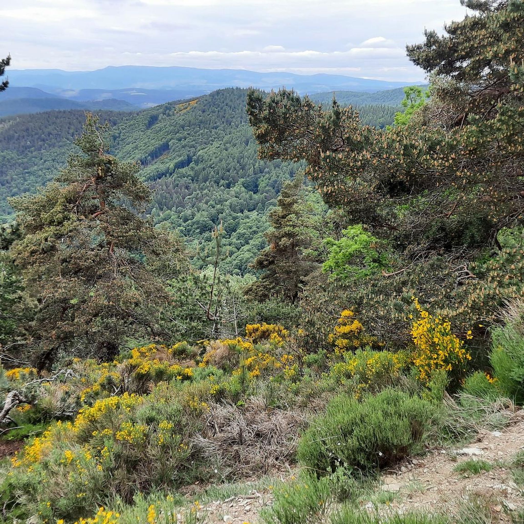
The jogging trails in Saint-André-De-Lancize feature significantly undulating terrain, with elevations varying from 376 to 1,351 meters. You'll encounter wild forests of pine, oak, and chestnut, as well as valleys shaped by crystal-clear rivers and mountain streams. Truly flat paths are rare, offering rewarding climbs and descents.
Are there any running routes with panoramic views?
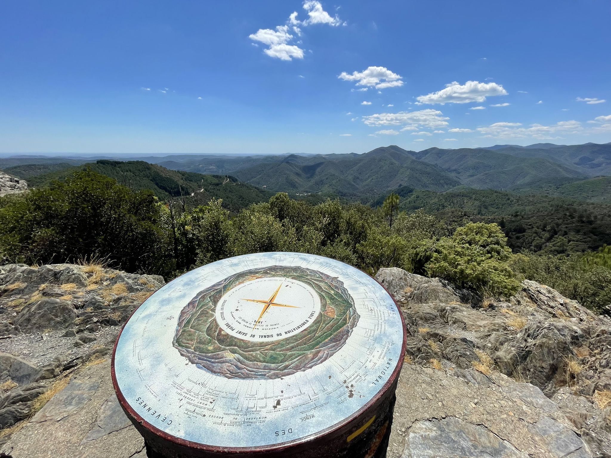
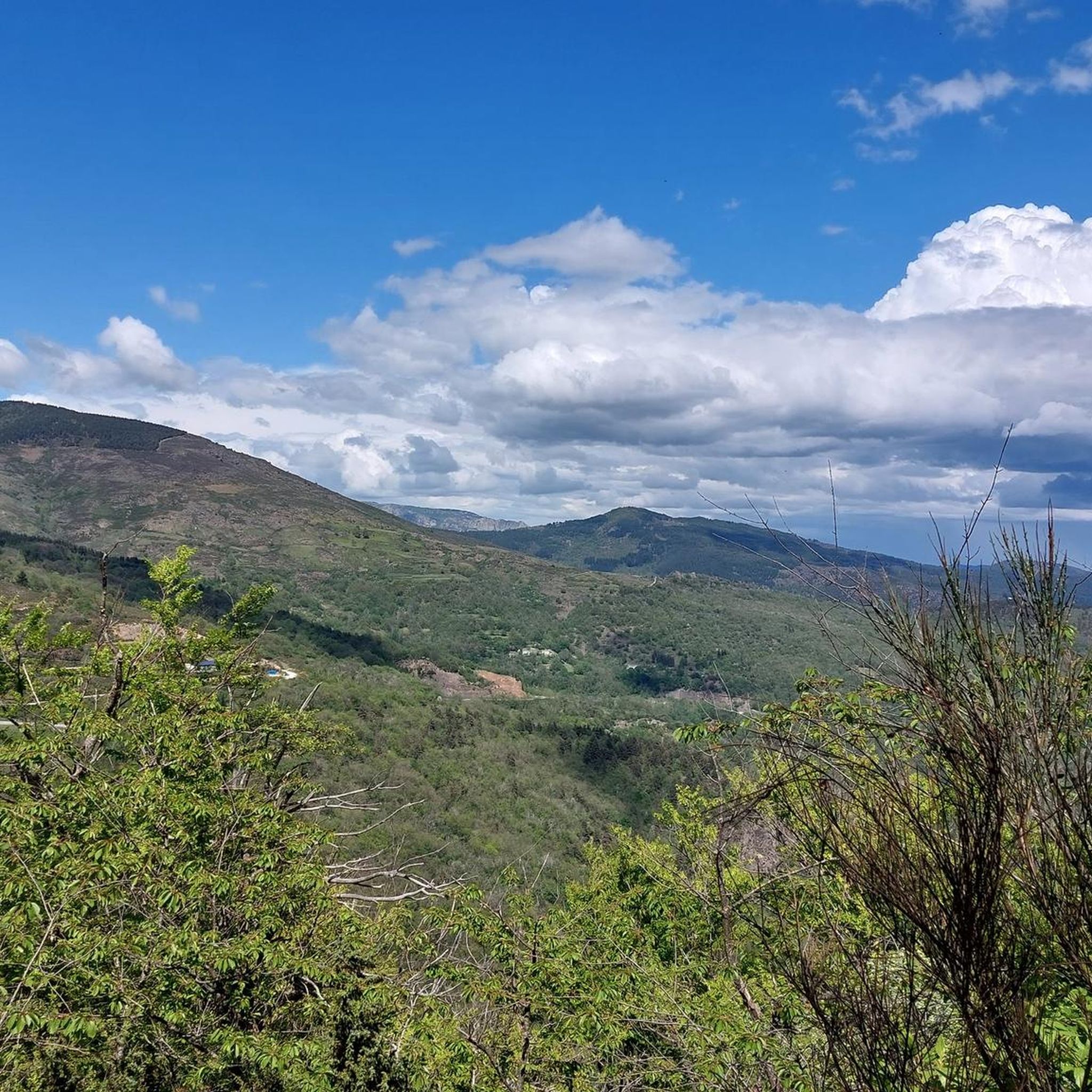
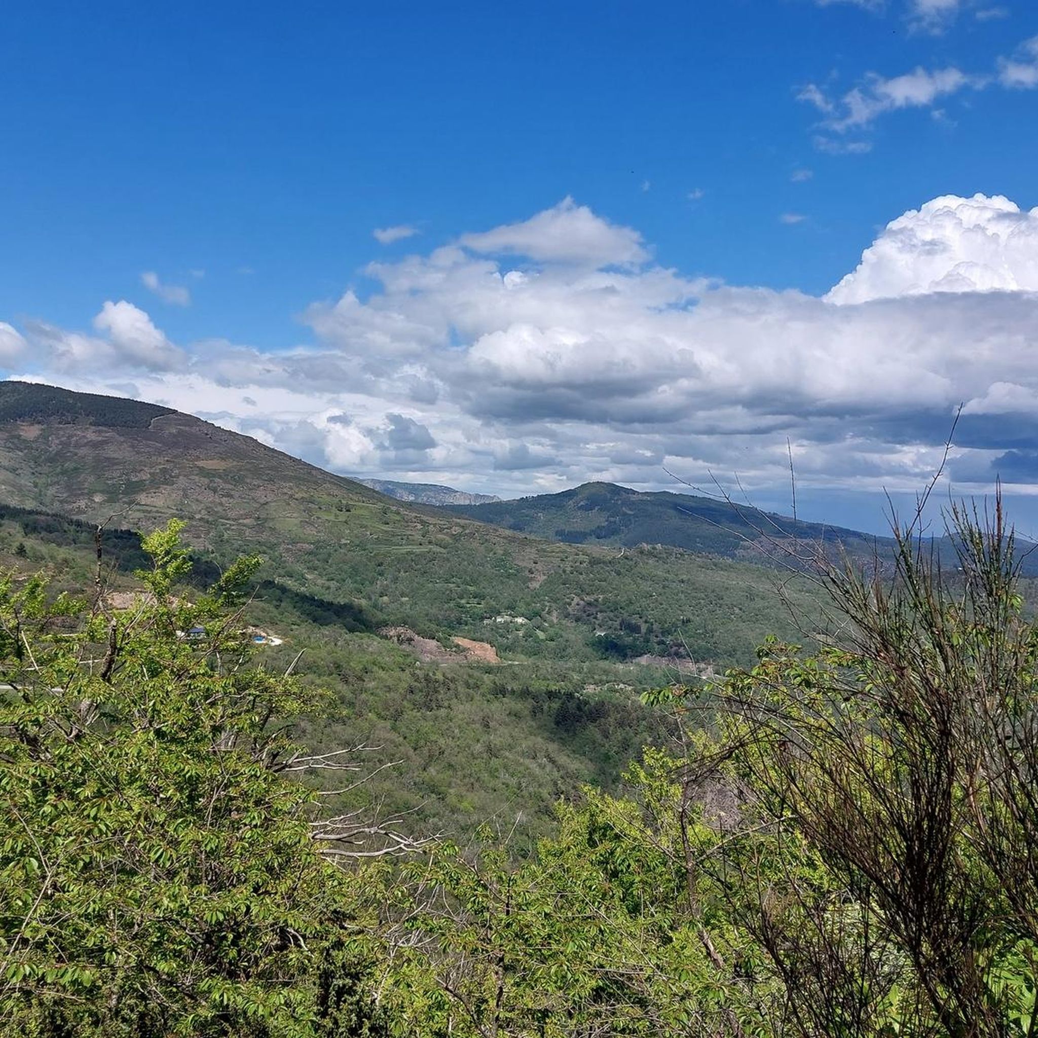
Yes, many routes offer magnificent panoramas of the Cévennes mountains. For exceptional viewpoints, consider the Roc de Galta – trail loop starting from Serre de la Can – Cévennes National Park, which provides stunning vistas.
Are there any long-distance running options or challenging trails?
Absolutely. The region is a nexus for numerous trails, including sections of the GR 7 and GR 36 long-distance paths. For a significant challenge, the Cévennes Greenway – Claroudens Dolmen loop from Cassagnas is a difficult 26.2 miles (42.2 km) path that follows parts of the Cévennes Greenway.
What do other runners say about the trails in Saint-André-De-Lancize?
The running routes in Saint-André-De-Lancize are highly rated by the komoot community, with an average score of 3.75 stars from over 4 reviews. Runners often praise the varied terrain, the lush forests, and the scenic valleys that define the area's outdoor experience.
Are there any circular running routes available?
Yes, many routes are designed as loops. For example, the Running loop from Saint-Maurice-de-Ventalon is a 7.6 miles (12.3 km) trail that takes you through undulating terrain and lush forests.
Can I find any moderate running trails suitable for a good workout?
Yes, out of the 44 available routes, 17 are classified as moderate. An example is the Cévennes Greenway – Cévennes Greenway loop from Cassagnas, a 14.3 km (8.9 miles) route with manageable elevation changes.
What historical or natural landmarks can I see while running in the area?
While running, you might encounter various points of interest. The Cévennes Greenway – Claroudens Dolmen loop from Cassagnas passes by historical features like the Claroudens Dolmen. Other nearby attractions include the Menhir at the Col de la Pierre Plantée and the Cairn and Panorama, offering glimpses into the region's past and natural beauty.
Are there any running routes that start directly from Saint-André-De-Lancize?
Yes, there are routes that begin directly from the village. The Running loop from Saint-André-de-Lancize is an 11.2 km (7 miles) trail that offers a challenging run with significant elevation gain, starting right from the commune.
What kind of natural environment defines the running experience in Saint-André-De-Lancize?
The running experience is defined by the diverse and unspoilt natural landscapes of the Cévennes National Park, a UNESCO World Heritage site. You'll run through vast open fields, wild forests of pine, oak, and chestnut, and alongside crystal-clear rivers in picturesque valleys, all within a biosphere reserve rich in flora and fauna.
Is the area suitable for trail running, given its elevation changes?
Yes, the area is exceptionally well-suited for trail running. With elevations ranging from 376 to 1,351 meters and significant undulating terrain, the routes provide excellent opportunities for challenging climbs and descents, catering to runners seeking a true trail experience.
Most popular routes around Saint-André-De-Lancize
Most popular attractions around Saint-André-De-Lancize

Get inspired with the komoot mobile app


Explore more
Browse the best Running Trails & Routes in other regions.
