The best cycling routes around Saint-André-De-Lancize
4.8
(94)
765
riders
70
rides
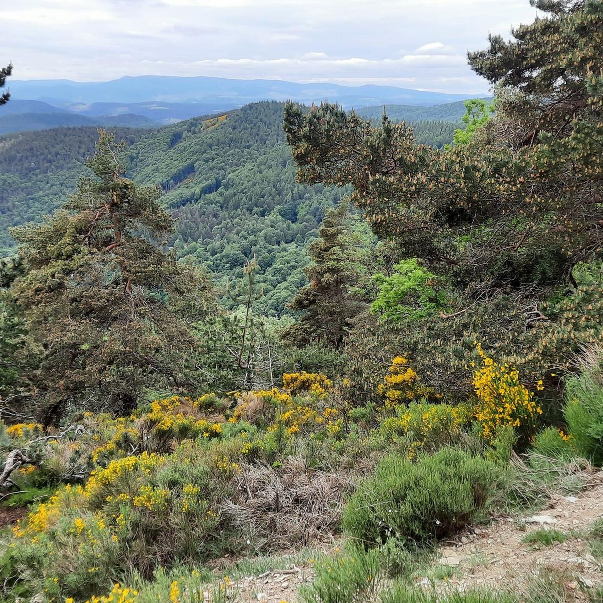
Touring cycling routes around Saint-André-De-Lancize traverse a landscape characterized by the rugged terrain of the Cévennes National Park. The region features significant elevation changes, with routes often climbing through mountainous areas and descending into valleys. This area is defined by its natural environment, offering paths that connect small villages and natural landmarks.
Best touring cycling routes around Saint-André-De-Lancize
- The most popular touring cycling route is Mount Ayres via Saint-Germain-de-Calberte – Cévennes National Park, a difficult 17.8 miles (28.6 km)…
Last updated: June 25, 2026
11
riders
28.6km
02:08
710m
710m
Hard bike ride. Very good fitness required. Mostly paved surfaces. Suitable for all skill levels.
5.0
(4)
30
riders
45.3km
03:17
730m
730m
Hard bike ride. Very good fitness required. Mostly paved surfaces. Suitable for all skill levels.

Sign up for free
5.0
(1)
10
riders
54.8km
03:48
1,030m
1,030m
Hard bike ride. Very good fitness required. Mostly paved surfaces. Suitable for all skill levels.
5.0
(2)
8
riders
Hard bike ride. Very good fitness required. Mostly paved surfaces. Suitable for all skill levels.
10
riders
53.4km
03:47
1,040m
1,040m
Hard bike ride. Very good fitness required. Mostly paved surfaces. Suitable for all skill levels.
Get access to more routes and recommendations from other explorers.
Sign up for free
Already have an account?
Our route recommendations are based on thousands of hikes, rides, and runs completed by other people on komoot.
Start today with a free account
Your next adventure awaits.
Login or Signup
Popular around Saint-André-De-Lancize
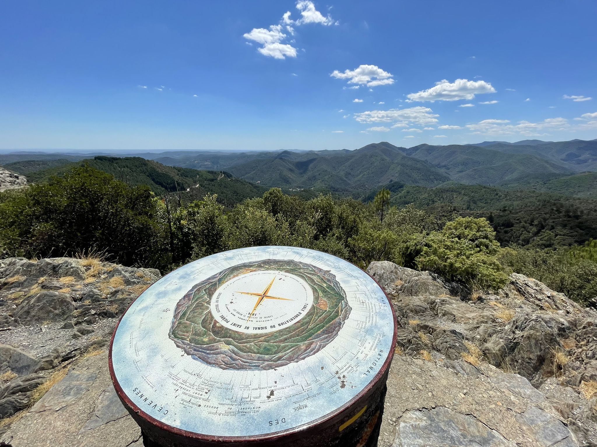
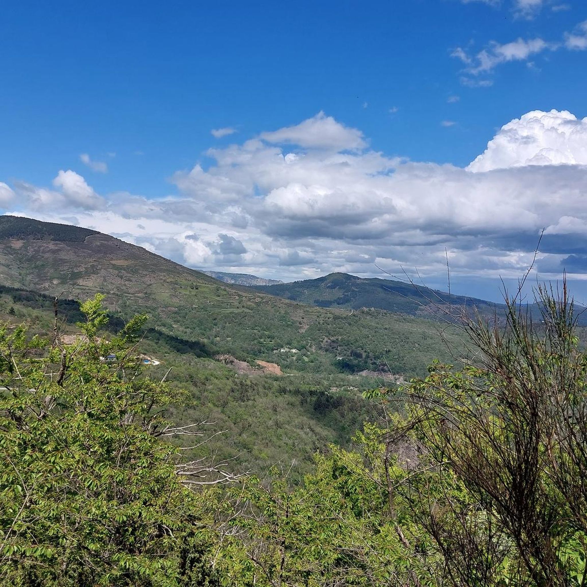
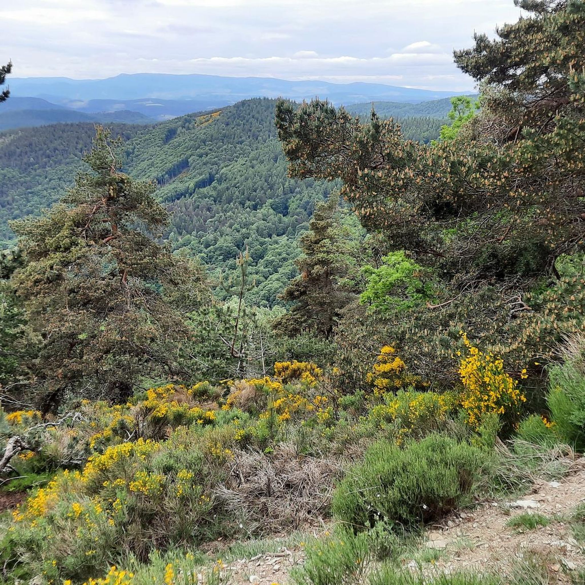
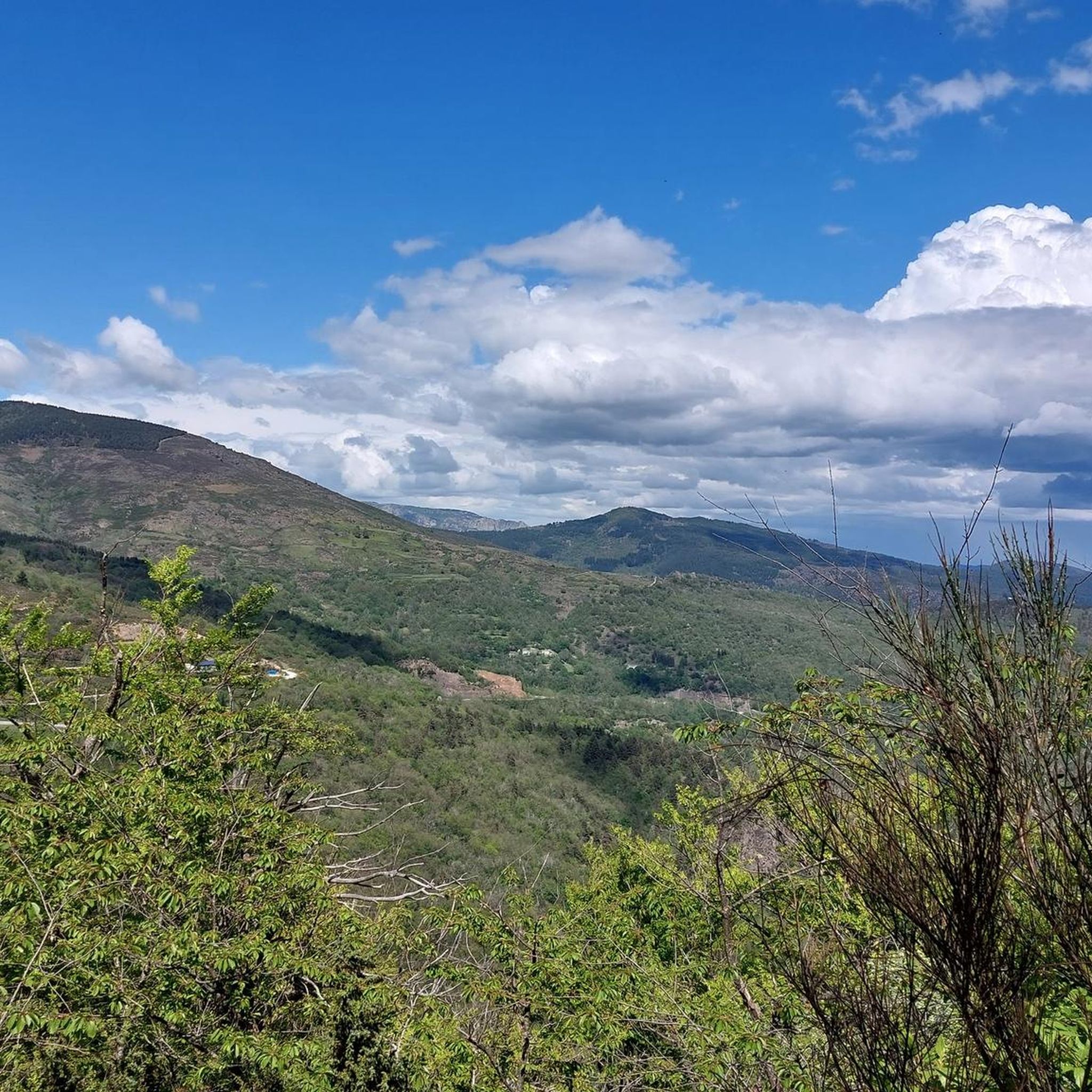

Other adventures around Saint-André-De-Lancize

Tips from the Community


Start of the Cévennes greenway. Section set up from Florac on the old railway line). Rocky parts in places but magnificent view (small gorges, tunnel, bridge)
1
0

From the Prentigarde pass, perched at an altitude of 795 meters, you can admire the wooded landscape of the Cévennes. That's wonderful !
0
0

This village which is in the heart of the Cévennes national park is the ideal place to take a break. The fountain offers you good spring water, come and drink from it before walking along the main street of the village. The landscapes surrounding the town well represent the wild beauty of this Cévennes country.
0
0


A small town at the edge of the Cévennes with plenty of resupply and accommodation options. Explore the narrow streets of its historic old centre and numerous places to enjoy a meal out.
0
0

Frequently Asked Questions
How many touring cycling routes are available in Saint-André-De-Lancize?
There are over 60 touring cycling routes available around Saint-André-De-Lancize. These routes primarily cater to moderate to difficult ability levels, offering a diverse range of experiences within the Cévennes National Park.
Are there any easy touring cycling routes in Saint-André-De-Lancize?
The touring cycling routes around Saint-André-De-Lancize are generally characterized by significant elevation changes due to the mountainous terrain of the Cévennes National Park. As such, most routes are rated as moderate to difficult, and there are currently no routes classified as easy.
What are the typical durations for touring cycling routes in this region?
The duration of touring cycling routes in Saint-André-De-Lancize varies depending on the distance and elevation. For example, the Mount Ayres via Saint-Germain-de-Calberte – Cévennes National Park route, which is 17.8 miles (28.6 km), typically takes around 2 hours and 8 minutes. Longer routes, like the Town of Florac Trois-Rivières – Florac loop from Jalcreste at 47.8 miles (76.9 km), can take over 6 hours.
Can I find circular touring cycling routes around Saint-André-De-Lancize?
Yes, there are several circular touring cycling routes in the area. A popular option is the Barre des Cévennes – Town of Florac Trois-Rivières loop from Cassagnas, a difficult 27.7 miles (44.5 km) path that explores the region between Barre des Cévennes and Florac Trois-Rivières. Another is the Barre-des-Cévennes – Le Pompidou Village loop from Cassagnas, a 33.2 miles (53.4 km) trail.
What kind of terrain can I expect on touring cycling routes in Saint-André-De-Lancize?
The terrain around Saint-André-De-Lancize is characterized by the rugged landscape of the Cévennes National Park. Cyclists can expect significant elevation changes, with routes often climbing through mountainous areas and descending into valleys. The paths connect small villages and natural landmarks, offering a challenging yet rewarding experience.
What are some scenic viewpoints or natural landmarks to look out for?
The region offers several scenic viewpoints and natural landmarks. You can find stunning vistas such as the Cairn and Panorama or enjoy the View of heathland and rock formations in Cévennes National Park. The Col de la Croix de Berthel also offers impressive views.
Are there any historical or cultural sites along the touring cycling routes?
Yes, the routes often pass through or near charming villages and historical sites. You might encounter the settlement of Le Pont-de-Montvert, the Protestant Temple of Closelet, or the Saint-Germain-de-Calberte War Memorial and Tribute to the Cévenols. The Menhir at the Col de la Pierre Plantée is another notable landmark.
What do other cyclists say about touring cycling in Saint-André-De-Lancize?
The touring cycling routes in Saint-André-De-Lancize are highly rated by the komoot community, with an average score of 4.7 stars from over 90 reviews. Cyclists often praise the challenging mountainous terrain, the beauty of the Cévennes National Park, and the experience of connecting various small villages.
What is the best time of year for touring cycling in Saint-André-De-Lancize?
Given the mountainous nature of the Cévennes National Park, the best time for touring cycling is typically from late spring to early autumn (May to October). During these months, the weather is generally more stable, and temperatures are pleasant for cycling, avoiding the colder conditions and potential snow at higher elevations in winter.
Is parking available near the touring cycling routes?
While specific parking information for each route start point is not detailed here, many routes begin or pass through villages like Cassagnas, Saint-Germain-de-Calberte, or Florac Trois-Rivières. These villages typically offer public parking facilities, making them convenient starting points for your cycling adventures.
Are dogs allowed on touring cycling routes in Saint-André-De-Lancize?
As the routes are primarily on public roads and trails within the Cévennes National Park, dogs are generally permitted. However, it is always recommended to keep dogs on a leash, especially in protected areas or near livestock, and to ensure they are well-behaved and do not disturb wildlife or other users.
Are there any cafes or places to stop for refreshments along the routes?
Many touring cycling routes in Saint-André-De-Lancize connect various small villages. These villages, such as Le Pont-de-Montvert or Florac Trois-Rivières, often have local cafes, restaurants, or small shops where you can stop for refreshments, meals, or to refill water bottles. It's advisable to check opening hours, especially in smaller hamlets.
Are there any routes that connect different villages?
Connecting villages is a defining characteristic of touring cycling in this region. For instance, the Stevenson Centre – The Three Maidens loop from Cassagnas is a 34.1 miles (54.8 km) route that links various points of interest and villages, allowing you to experience the local culture and landscapes.
Most popular routes around Saint-André-De-Lancize
Most popular attractions around Saint-André-De-Lancize

Get inspired with the komoot mobile app


Explore more
Browse the best Cycling routes in other regions.
