The best walks and hikes around Bernolsheim
4.3
(114)
977
hikers
99
hikes
Hiking around Bernolsheim provides access to a landscape defined by gentle hills and open fields, typical of the Alsace region. The area features a network of trails that often pass through agricultural land and alongside waterways, including historical locks. Elevation changes are generally modest, making many routes accessible for various fitness levels.
Best hiking trails around Bernolsheim
- The most popular hiking route is Siurce st Ulrich – Cross of Jesus from 1767 loop from Wintershouse, a 6.4 miles (10.3…
Last updated: October 12, 2026
5.0
(1)
17
hikers
8.13km
02:03
10m
10m
Moderate hike. Good fitness required. Easily-accessible paths. Suitable for all skill levels.
5.0
(4)
14
hikers
8.87km
02:15
20m
20m
Moderate hike. Good fitness required. Easily-accessible paths. Suitable for all skill levels.

5.0
(1)
11
hikers
9.74km
02:34
90m
90m
Moderate hike. Good fitness required. Easily-accessible paths. Suitable for all skill levels.
14
hikers
11.6km
03:03
100m
100m
Moderate hike. Good fitness required. Easily-accessible paths. Suitable for all skill levels.
3.5
(2)
7
hikers
9.29km
02:21
10m
10m
Moderate hike. Good fitness required. Easily-accessible paths. Suitable for all skill levels.
Get access to more routes and recommendations from other explorers.
Already have an account?
Our route recommendations are based on thousands of hikes, rides, and runs completed by other people on komoot.
Start today with a free account
Your next adventure awaits.

Tips from the Community

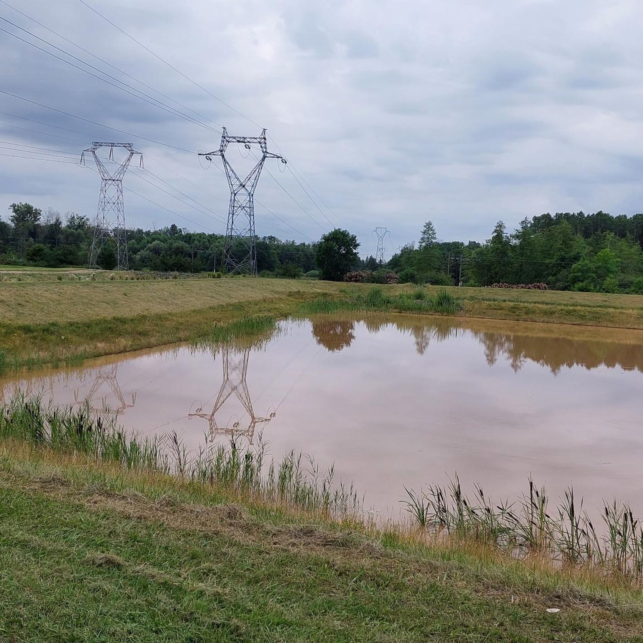
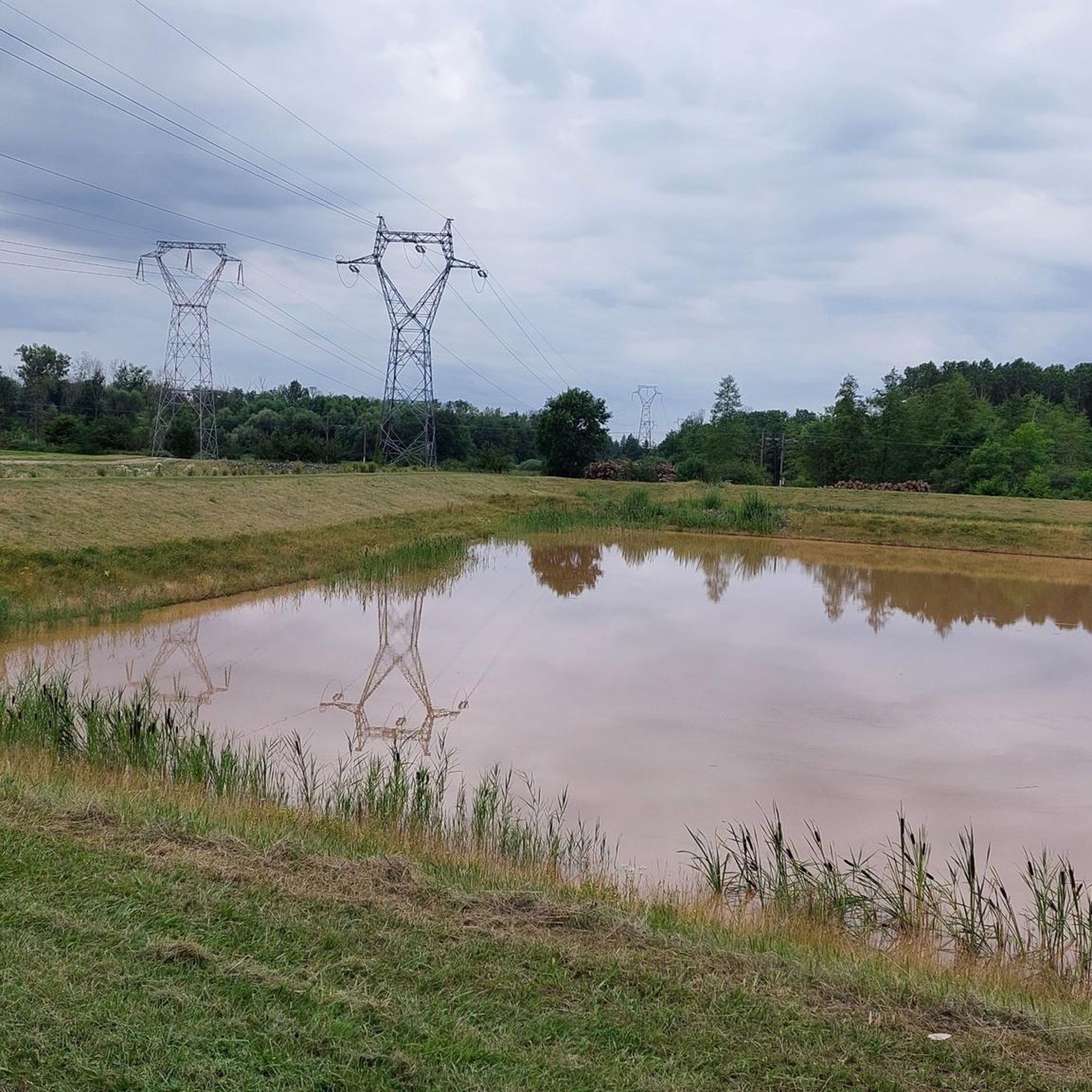
A very relaxing spot surrounded by nature with a bench
0
0


This is my “entry lock” - this is where I started my tour and today I am branching off to the north from Saverne.
0
3


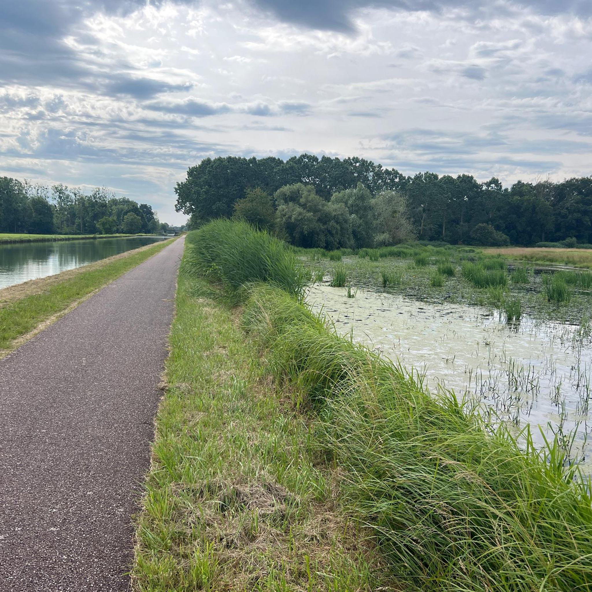
Very decelerating bike path along the canal.
0
1

Wingersheim Lock is a lock located in Wingersheim. It forms an essential part of the local waterway system, providing a scenic spot for boats to navigate the canals surrounded by peaceful and idyllic surroundings.
2
0

Ideal rest spot. Shadow and freshness.
2
0
Frequently Asked Questions
How many hiking trails are available around Bernolsheim?
There are over 70 hiking routes available around Bernolsheim, catering to various skill levels. You'll find a good mix of easy, moderate, and a few more challenging options.
Are there easy hiking trails suitable for beginners or families in Bernolsheim?
Yes, Bernolsheim offers several easy hiking trails perfect for beginners or families. For instance, the Hiking loop from Wintershouse is an easy 2.9-mile (4.7 km) path that provides an accessible option for exploring the local surroundings with modest elevation changes.
Where can I find longer hiking routes around Bernolsheim?
For those seeking a longer hike, the Brumath loop from Kriegsheim is a moderate 7.2-mile (11.6 km) trail. It offers a more extended experience through the region's characteristic gentle terrain and agricultural landscapes.
Can I bring my dog on the hiking trails in Bernolsheim?
Most hiking trails in the Bernolsheim area are dog-friendly, provided your dog is kept on a leash, especially when passing through agricultural areas or near livestock. Always ensure to clean up after your pet.
Are most hiking routes in Bernolsheim circular?
Yes, many of the hiking routes around Bernolsheim are designed as circular loops, making them convenient for starting and ending at the same point. Examples include the popular Siurce st Ulrich – Cross of Jesus from 1767 loop from Wintershouse and the Wingersheim lock – Schleuse Nr. 46 loop from Stephansfeld.
What kind of scenery can I expect on the hiking trails in Bernolsheim?
The hiking trails in Bernolsheim typically feature gentle hills, open fields, and agricultural land, characteristic of the Alsace region. You'll often find paths running alongside waterways and historical locks, offering a peaceful and scenic experience.
What do other hikers enjoy the most about hiking in Bernolsheim?
The hiking routes in Bernolsheim are highly rated by the komoot community, with an average score of 4.3 stars from over 80 reviews. Hikers often praise the area's gentle terrain, well-maintained paths, and the opportunity to explore the tranquil agricultural landscapes and historical markers.
Are there any interesting landmarks or attractions near the hiking trails?
While hiking around Bernolsheim, you can explore several nearby points of interest. These include the Vendenheim Swing Bridge and the Dislach Mill, which offer glimpses into the region's history and infrastructure along its waterways.
What is the best time of year to go hiking in Bernolsheim?
The best time to hike in Bernolsheim is generally from spring through autumn (April to October). During these months, the weather is mild, and the landscapes are vibrant. Summer offers longer daylight hours, while spring and autumn provide comfortable temperatures and beautiful seasonal colors.
Are there any accessible hiking trails for wheelchairs or strollers?
Given the region's generally gentle terrain and modest elevation changes, some paths may be suitable for strollers or robust wheelchairs, particularly those alongside waterways or through open fields. However, specific data on fully accessible trails is not available, so it's advisable to check individual route details for surface conditions.
Is parking available near the trailheads in Bernolsheim?
While specific parking information for every trailhead is not detailed, many villages and starting points for popular routes, such as Wintershouse or Stephansfeld, typically offer public parking options. It's recommended to check local signage upon arrival.
Are there places to eat or drink near the hiking trails?
Bernolsheim and its surrounding villages offer local establishments where you can find refreshments or a meal. While not directly on every trail, you'll often find cafes or restaurants in the towns where many routes begin or pass through, such as Brumath or Wintershouse.
Most popular routes around Bernolsheim
Most popular attractions around Bernolsheim

Get inspired with the komoot mobile app


Explore more
Browse the best Hikes in other regions.
