The best running trails around Diefmatten
4.5
(83)
3,096
runners
252
runs
Jogging around Diefmatten offers a variety of routes, characterized by its gentle terrain and proximity to water features. The region features paths along rivers and lakes, with some trails passing historical points like artillery observatories. Elevation gains are generally low, making most routes accessible for a steady run. The landscape is a mix of open areas and possibly some forested sections, providing diverse running environments.
Best jogging routes around Diefmatten
- The most popular jogging route is Artillery observatory – Singletrack…
Last updated: October 8, 2026
5.0
(1)
69
runners
Moderate run. Good fitness required. Mostly paved surfaces. Suitable for all skill levels.
5.0
(2)
69
runners
Moderate run. Good fitness required. Mostly paved surfaces. Suitable for all skill levels.

14
runners
12.8km
01:24
80m
80m
Moderate run. Good fitness required. Mostly paved surfaces. Suitable for all skill levels.
16
runners
7.80km
00:48
30m
30m
Moderate run. Good fitness required. Mostly paved surfaces. Suitable for all skill levels.
9
runners
11.1km
01:12
30m
40m
Moderate run. Good fitness required. Mostly paved surfaces. Suitable for all skill levels.
Get access to more routes and recommendations from other explorers.
Already have an account?
Our route recommendations are based on thousands of hikes, rides, and runs completed by other people on komoot.
Start today with a free account
Your next adventure awaits.

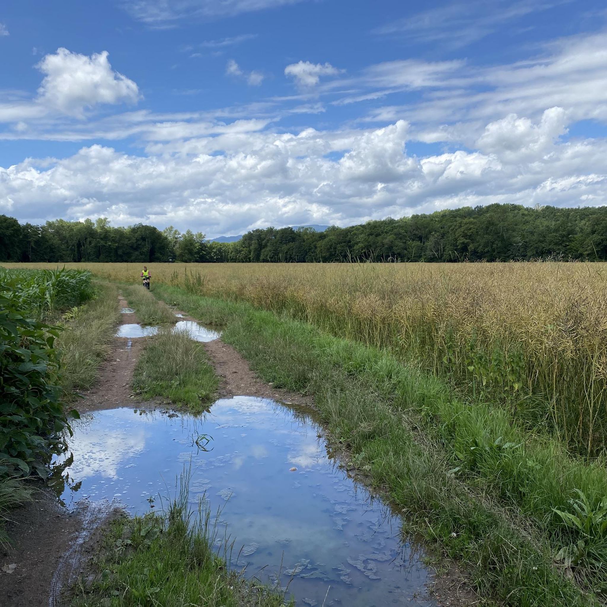
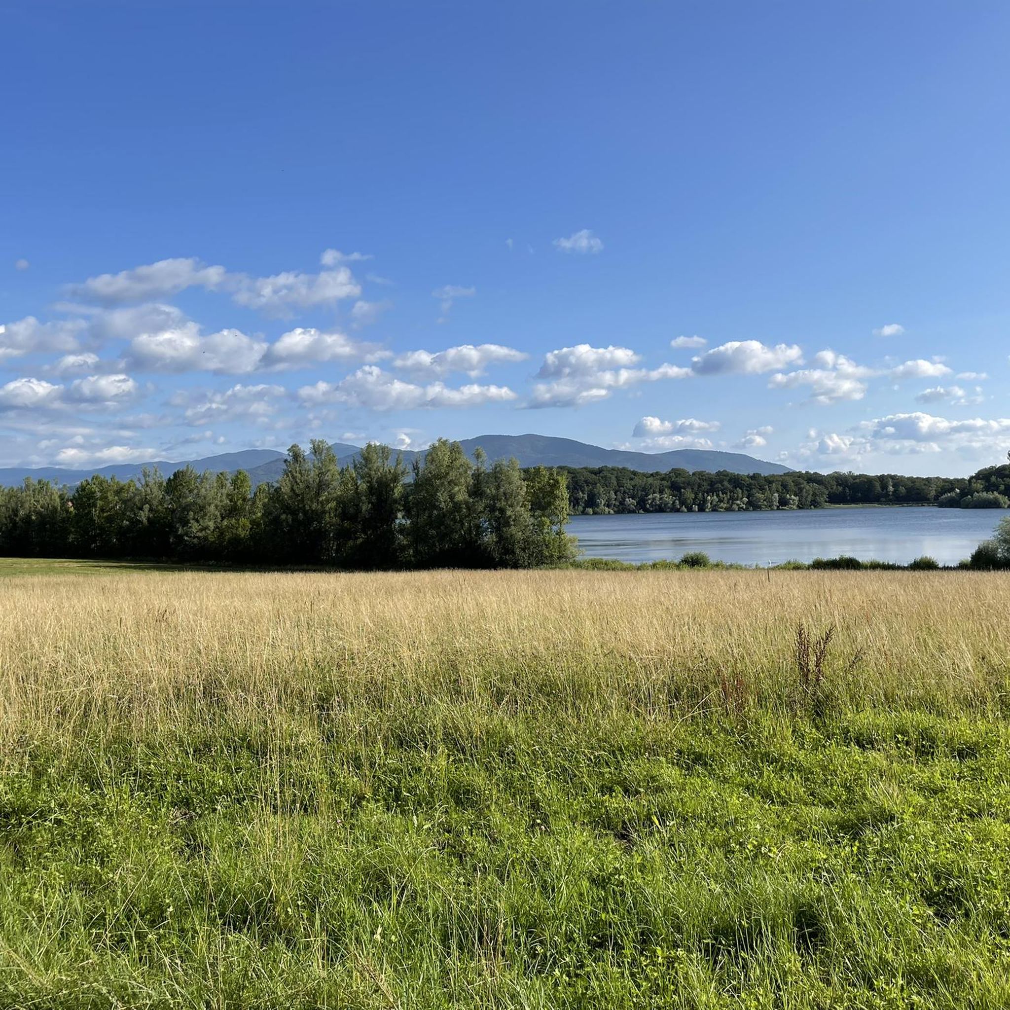
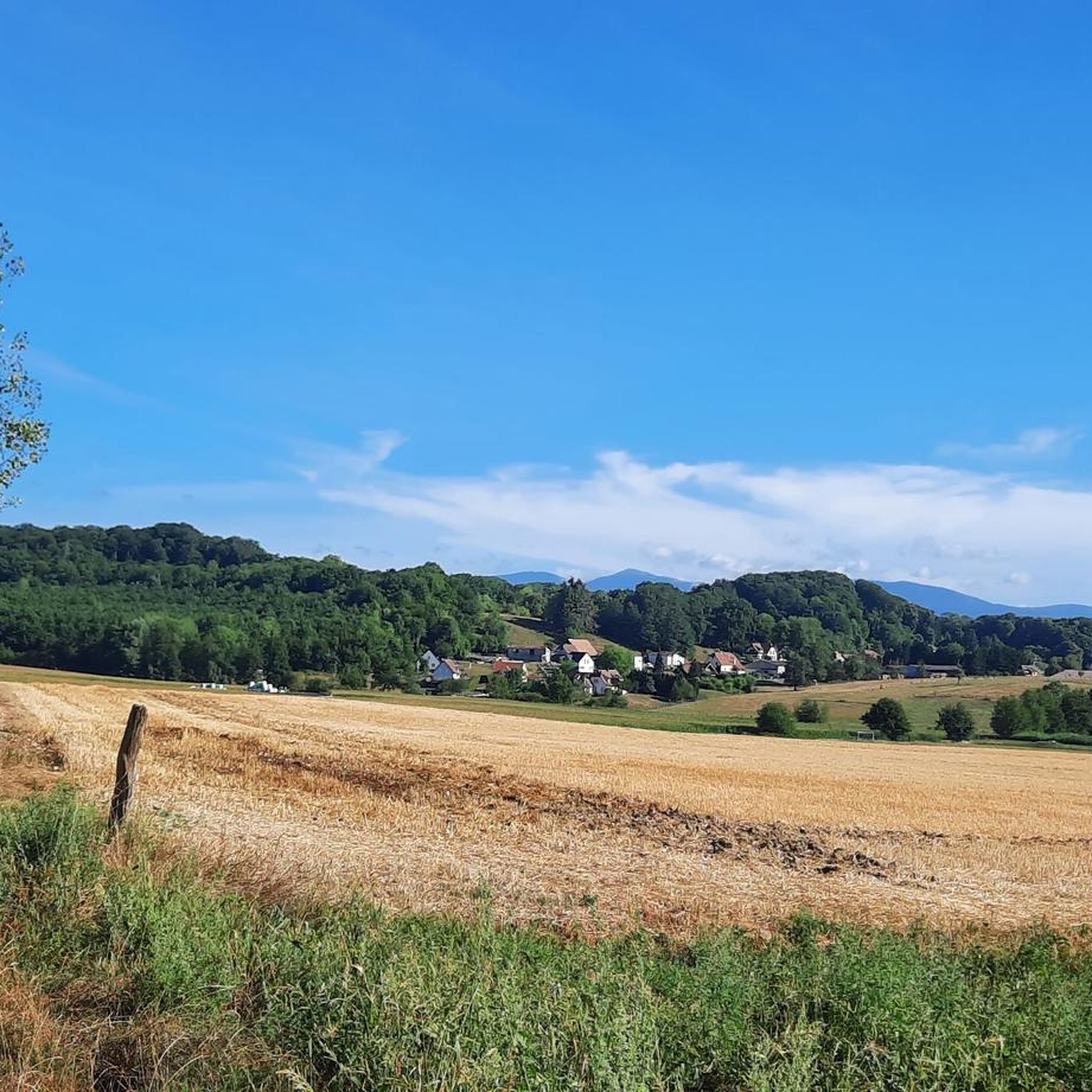
Tips from the Community

Anyone who wants to know more about it should visit this page: https://sundgaufront.pharmafix.com/index.php/interaktive-frontkarte
0
0
Bahnhof Burnhaupt-le-Haut The Bahnhof Burnhaupt-le-Haut is located on the former railway line from Cernay to Sewen, which led through the Dollertal. The line was built in the 19th century and was of great importance for passenger and freight transport in the region. During the First World War, the station gained particular strategic importance. Burnhaupt was located immediately behind or close to the front line between German and French troops. The railway was used to transport soldiers, weapons, ammunition, and other supplies. Due to the fighting, the station was heavily damaged. After the war, the station building was rebuilt between 1921 and 1923. A building typical of the region with elements of Alsatian architecture was created. The station has largely been preserved to this day and serves as a reminder of the importance of the railway for the region's development and the destruction of the First World War. Regular passenger service on the line was discontinued in 1967, and the line was later closed. Part of the former railway line is now operated as a museum railway by Train Thur Doller Alsace. Historic locomotives and wagons run on the line through the Dollertal, making the history of the railway tangible for visitors. The Bahnhof Burnhaupt-le-Haut is therefore not only a former transport hub, but also a historic site where the history of the region, the railway, and the First World War converge. Further information and historical photos: Train Thur Doller Alsace – Bahnhof Burnhaupt
0
0

the Michelbach lake is a place where you can stop for a picnic during hikes or bike rides
0
0

Please take the nature conservation restrictions seriously. Otherwise, you will not only disturb the fauna, but the rangers on site are also very conscientious and ensure strict adherence. Dogs on a leash, take your trash with you, stay on the paths, and do not picnic in the grass. But that goes without saying.
0
0


https://www.train-doller.org/ Information and travel times.
6
0

Burnhaupt station is now the operational centre of the Dollertalbahn in Upper Alsace, which is operated as a museum line by the TTDA (Train-Thur-Doller-Alsace) association. It dates back to the 1920s, after the original station was destroyed in a French offensive in the First World War. 2013-12-08 Burnhaupt
3
0

Remnants of the old railway line with their own charm
0
0
Frequently Asked Questions
How many running routes are available around Diefmatten?
There are over 200 running routes in the Diefmatten area, catering to various fitness levels. You'll find 27 easy routes, 179 moderate routes, and 18 more challenging options to explore.
Are there any easy jogging routes suitable for beginners in Diefmatten?
Yes, Diefmatten offers 27 easy jogging routes. These typically feature gentle terrain and low elevation gains, making them perfect for a relaxed run. Many follow paths along rivers and lakes, providing a pleasant experience.
What kind of terrain can I expect on jogging trails in Diefmatten?
Jogging routes in Diefmatten are characterized by gentle terrain, often featuring paths along rivers and lakes. You'll encounter a mix of open areas and some forested sections, with generally low elevation gains, making for a steady and enjoyable run.
Are there any circular running routes in the Diefmatten area?
Yes, many of the running routes around Diefmatten are circular. For example, the Lake Michelbach – Michelbach Lake loop from Michelbach offers a scenic 12.8 km (8 miles) circular run around the lake.
What are some scenic points or landmarks I can see while jogging in Diefmatten?
The Diefmatten area offers several interesting sights. Many routes pass historical points like artillery observatories. You might also encounter the Michelbach Lake, or man-made structures like the Port of Dannemarie and the Eglingen Lock, which are highlights in the region.
Are there any running routes with historical significance in Diefmatten?
Yes, some running routes in Diefmatten pass by historical points. For instance, the Singletrack Along the Water – Artillery Position loop from Burnhaupt-le-Bas takes you past historical artillery positions, offering a glimpse into the region's past while you run.
What do other runners say about the jogging routes in Diefmatten?
The running routes in Diefmatten are highly rated by the komoot community, with an average score of 4.2 stars from over 30 reviews. Runners often praise the pleasant waterfront paths, the gentle rolling terrain, and the variety of routes connecting local points of interest.
Are there any longer distance running routes available in Diefmatten?
Yes, Diefmatten has options for longer runs. The Lake Michelbach – Michelbach Lake loop from Michelbach is a good example, covering 12.8 km (8 miles) with moderate difficulty, suitable for those looking for a longer distance.
What is the typical elevation gain on running trails around Diefmatten?
The running trails around Diefmatten generally feature low elevation gains. For example, routes like the Artillery observatory – Singletrack Along the Water loop from Burnhaupt-le-Haut have an elevation gain of less than 40 meters, making them suitable for a steady, less strenuous run.
Can I find running routes that connect different local points of interest in Diefmatten?
Absolutely. The network of running routes in Diefmatten is designed to connect various local points of interest. For example, the Guewenheim station – Sentheim station loop from Guewenheim links two local stations, offering a route through varied local landscapes.
Are there any moderate running challenges in Diefmatten?
Yes, the majority of running routes in Diefmatten, 179 to be exact, are classified as moderate. These routes offer a good balance of distance and gentle elevation, providing a satisfying challenge without being overly strenuous. An example is the Burnhaupt – Artillery observatory loop from Burnhaupt-le-Bas, a 7.8 km (4.8 miles) moderate run.
Most popular routes around Diefmatten
Most popular attractions around Diefmatten

Get inspired with the komoot mobile app


Explore more
Browse the best Running Trails & Routes in other regions.
