The best running trails around Cazaunous
4.6
(19)
1,557
runners
150
runs
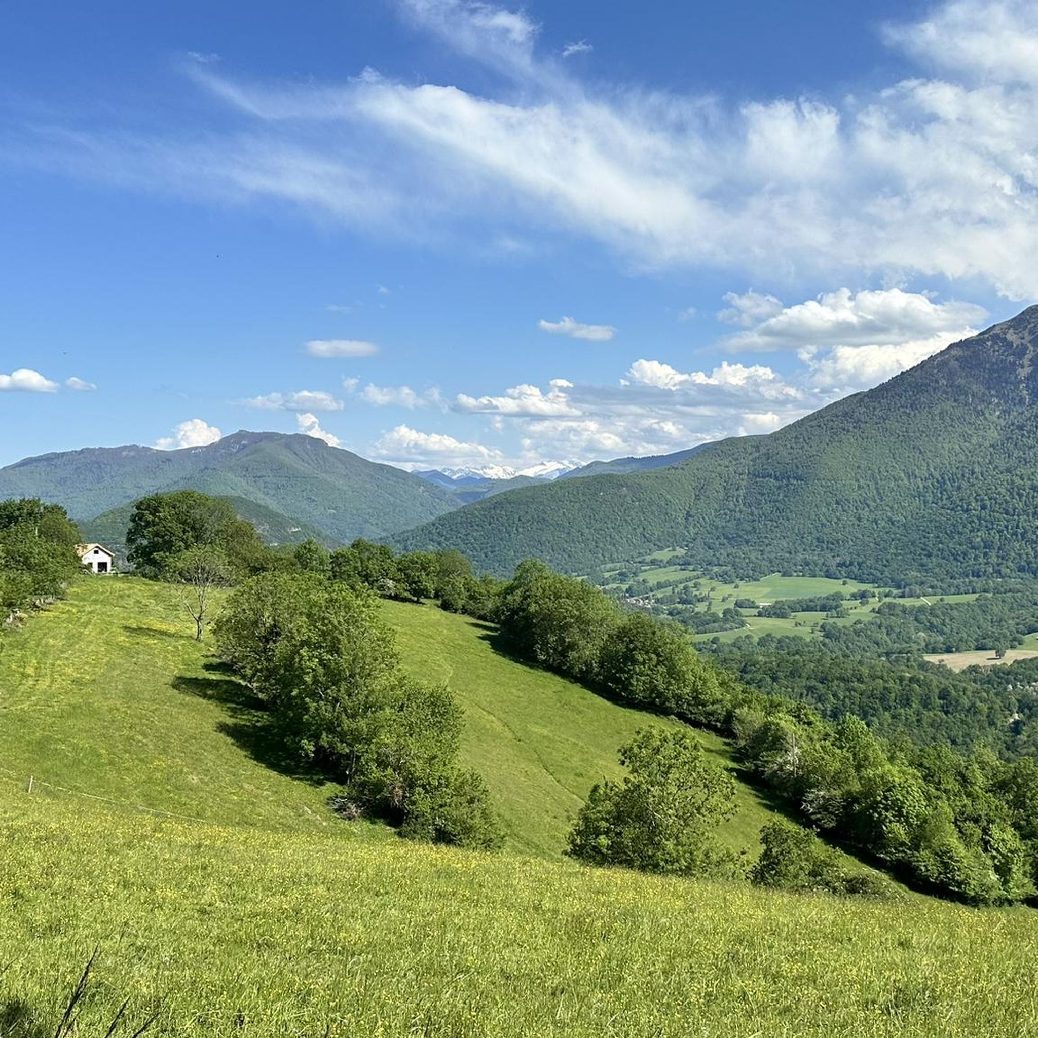
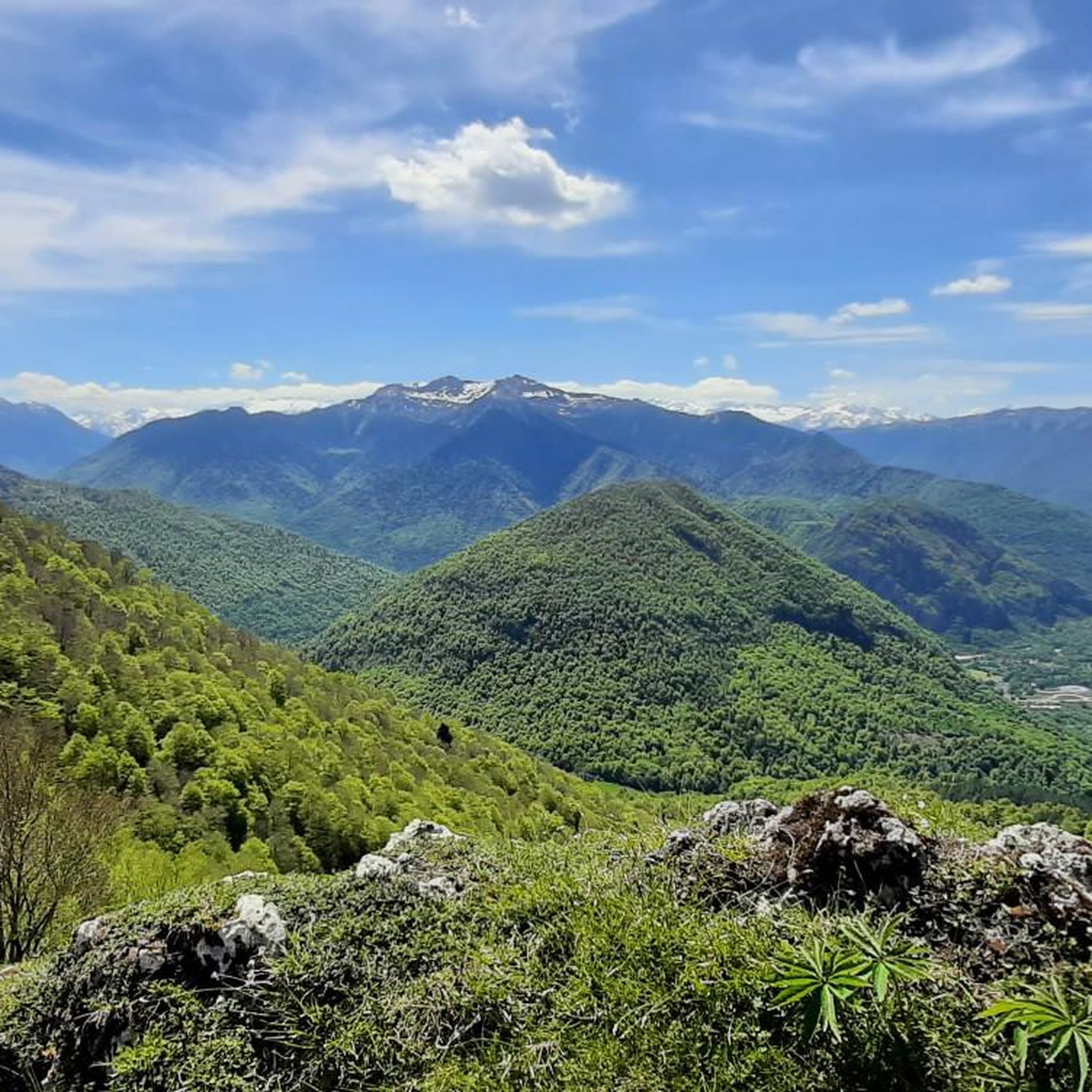
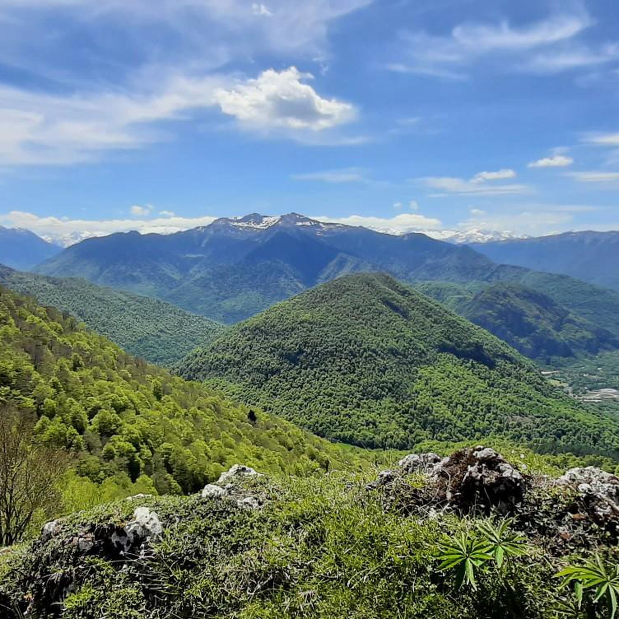
Jogging around Cazaunous offers routes through a landscape characterized by significant elevation changes and mountainous terrain. The region features prominent peaks such as Pic de Cagire and various cols, indicating a challenging environment for runners. Trails often provide extensive views across the surrounding area.
Best jogging routes around Cazaunous
- The most popular jogging route is Pic de Cagire – View of the Cagire loop from Juzet-d'Izaut, a 5.5 miles (8.9 km) trail that takes 2 hours 12 minutes to…
Last updated: July 4, 2026
44
runners
12.0km
03:00
1,230m
1,230m
Hard run. Very good fitness required. Sure-footedness, sturdy shoes and alpine experience required.
12
runners
29.5km
04:11
1,320m
1,320m
Hard run. Very good fitness required. Mostly paved surfaces. Suitable for all skill levels.

Sign up for free
11
runners
11.7km
01:18
250m
240m
Moderate run. Good fitness required. Mostly paved surfaces. Suitable for all skill levels.
5
runners
7.25km
01:02
310m
310m
Hard run. Very good fitness required. Mostly paved surfaces. Suitable for all skill levels.
3
runners
12.7km
01:39
490m
490m
Hard run. Very good fitness required. Mostly paved surfaces. Suitable for all skill levels.
Get access to more routes and recommendations from other explorers.
Sign up for free
Already have an account?
Our route recommendations are based on thousands of hikes, rides, and runs completed by other people on komoot.
Start today with a free account
Your next adventure awaits.
Login or Signup

Tips from the Community

A beautiful transitional port between the Le Ger river valley and the Garonne river valley
0
0

Well done family!!! You are pros!!! It's in the genes. Kisses to all
0
0

Very beautiful peak! Magnificent view of the Aneto massif! I recommend it!
0
0
Very beautiful natural lake with picnic tables.
0
0
I would like to make hikers aware that this route can become particularly dangerous in winter, particularly because of the ridge towards the Pas de l'Ane which can become covered in ice. In this case, ice axes and mountaineering crampons are essential. 2 people died at this location on 1/1/2025, which triggered access bans. I have taken steps to have these bans lifted while raising awareness in a constructive way. Take the time to find out about the snow conditions before undertaking this hike. Enjoy your walks!
9
1

This pretty little lake in the Pyrenean foothills bears the name of the eponymous town which adjoins it. It is located on the heights of the Garonne, not far from its confluence with the Pique.
0
0

Magnificent view for the climb to the pass from Artichan-de-Frontignes, however I found the climb on the other side (from the Col de Buret) more interesting because it was a little longer.
0
0

Frequently Asked Questions
How many running routes are available in Cazaunous?
There are over 150 running routes around Cazaunous documented on komoot, offering a wide range of options for different fitness levels and preferences.
What is the general difficulty level of running trails in Cazaunous?
Cazaunous is known for its mountainous terrain and significant elevation changes. Most of the 150 routes are rated as moderate (61 routes) or difficult (81 routes), with only 8 routes considered easy. This region is best suited for runners looking for a challenge.
Are there loop running trails in Cazaunous?
Yes, many of the running routes in Cazaunous are circular. For example, the challenging Col de Buret – Gouffre loop from Juzet-d'Izaut offers a rewarding experience through varied terrain.
What kind of terrain can I expect on running routes around Cazaunous?
You can expect mountainous terrain with significant elevation changes, high passes, and panoramic views. Trails often involve ascents and descents, providing a challenging environment for runners. The region is characterized by prominent peaks like Pic de Cagire.
Are there scenic running routes with viewpoints in Cazaunous?
Absolutely. The mountainous landscape of Cazaunous offers numerous scenic running routes with extensive views. You can find stunning vistas, such as the View of Pic de Paloumère and the Pyrenees, along many trails.
What do other runners say about the trails in Cazaunous?
The running routes in Cazaunous are highly rated by the komoot community, with an average score of 4.7 stars from over 15 reviews. More than 1600 runners have used komoot to explore the varied and challenging terrain, often praising the panoramic views and the sense of accomplishment after completing a demanding route.
Are there any easy jogging routes in Cazaunous?
While Cazaunous is predominantly known for its challenging mountainous terrain, there are 8 routes classified as easy. These routes typically feature less extreme elevation changes, offering a gentler introduction to running in the region.
What should I wear for jogging in Cazaunous?
Given the mountainous terrain and potential for significant elevation changes, it's advisable to wear appropriate trail running shoes with good grip. Layered clothing is recommended to adapt to changing weather conditions, and carrying water is essential, especially on longer or more exposed routes.
Can I bring my dog on the running trails in Cazaunous?
Many outdoor trails in the Pyrenees region are dog-friendly, but it's always best to check local regulations for specific routes or protected areas. Keep your dog on a leash, especially near livestock or wildlife, and ensure they are fit enough for the challenging terrain and elevation.
Are there any attractions or landmarks to see while running in Cazaunous?
Yes, the routes often pass by significant natural landmarks. You can encounter impressive peaks like Pic de Cagire and Gar Peak, or cross mountain passes such as Menté Pass and Col des Ares, offering historical and scenic points of interest.
What is the best time of year for running in Cazaunous?
The best time for running in Cazaunous is typically from late spring to early autumn (May to October) when the weather is milder and trails are generally clear of snow. During winter, higher elevation routes may be inaccessible due to snow and ice, requiring specialized gear or alternative routes.
Are there running routes with parking available in Cazaunous?
Yes, most running routes in Cazaunous, especially those starting from villages like Juzet-d'Izaut or Saint-Pé-d'Ardet, have designated parking areas nearby. It's common for trailheads in mountainous regions to offer convenient access for runners arriving by car.
Is Cazaunous suitable for family-friendly jogging?
Given the prevalence of difficult and moderate routes with significant elevation, Cazaunous might be challenging for very young children or families seeking flat, easy strolls. However, the 8 easy routes available could be suitable for families with older children who are accustomed to some uphill walking or running.
Most popular attractions around Cazaunous

Get inspired with the komoot mobile app


Explore more
Browse the best Running Trails & Routes in other regions.
