The best road cycling routes around Siltzheim
4.4
(149)
3,305
riders
256
rides
Road cycling routes around Siltzheim are characterized by a blend of flat canal-side paths and gently rolling terrain, with opportunities for more challenging climbs towards the Northern Vosges foothills. The region offers extensive cycling networks, including sections of the EuroVelo 5, which often utilize paved towpaths along waterways like the Saar Coal Canal. Cyclists can explore a mosaic of landscapes, from open Alsatian plains and farmlands to routes skirting forested areas. This varied topography provides options for different skill levels,…
Last updated: July 8, 2026
3.0
(1)
28
riders
40.2km
02:05
330m
330m
Moderate road ride. Good fitness required. Mostly well-paved surfaces and easy to ride.
5.0
(1)
25
riders
Moderate road ride. Good fitness required. Mostly well-paved surfaces and easy to ride.

Sign up for free
11
riders
61.0km
02:47
510m
510m
Moderate road ride. Good fitness required. Mostly well-paved surfaces and easy to ride.
8
riders
64.9km
03:11
940m
940m
Hard road ride. Very good fitness required. Mostly well-paved surfaces and easy to ride.
8
riders
73.4km
03:13
330m
330m
Moderate road ride. Good fitness required. Mostly well-paved surfaces and easy to ride.
Get access to more routes and recommendations from other explorers.
Sign up for free
Already have an account?
Our route recommendations are based on thousands of hikes, rides, and runs completed by other people on komoot.
Start today with a free account
Your next adventure awaits.
Login or Signup
Tips from the Community

The Maginot Line: The French Wall | ARTE https://youtu.be/Bvtxa08ysgc For those who want to know more about the Maginot Line: de.wikipedia.org/wiki/Liste_der_Ouvrages_der_Maginot-Linie
1
0

Remains of the interwar period, this bunker, also called a casemate or blockhouse, is located along the Maginot Line.
0
0
The Welschof Pond is a little corner of paradise for fishermen and ducks. It was built in the 1930s to serve as a reservoir for the Maginot Line's defensive flood control system.
1
0

Impressive church in the town with the beautiful city gate.
2
0
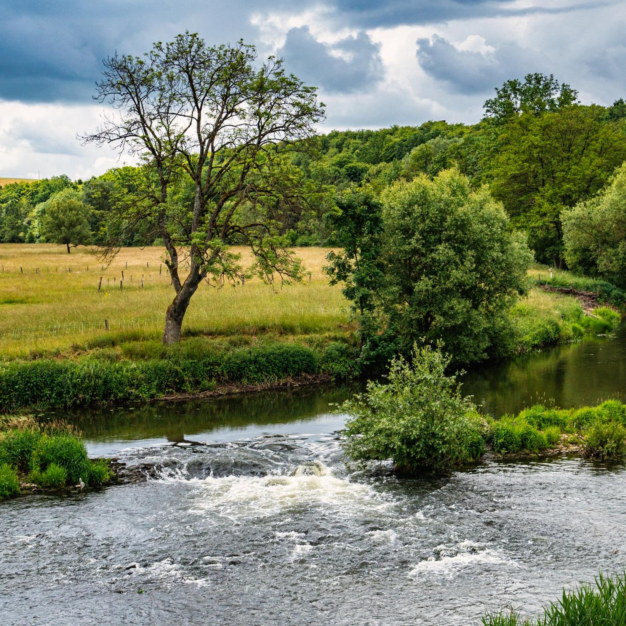
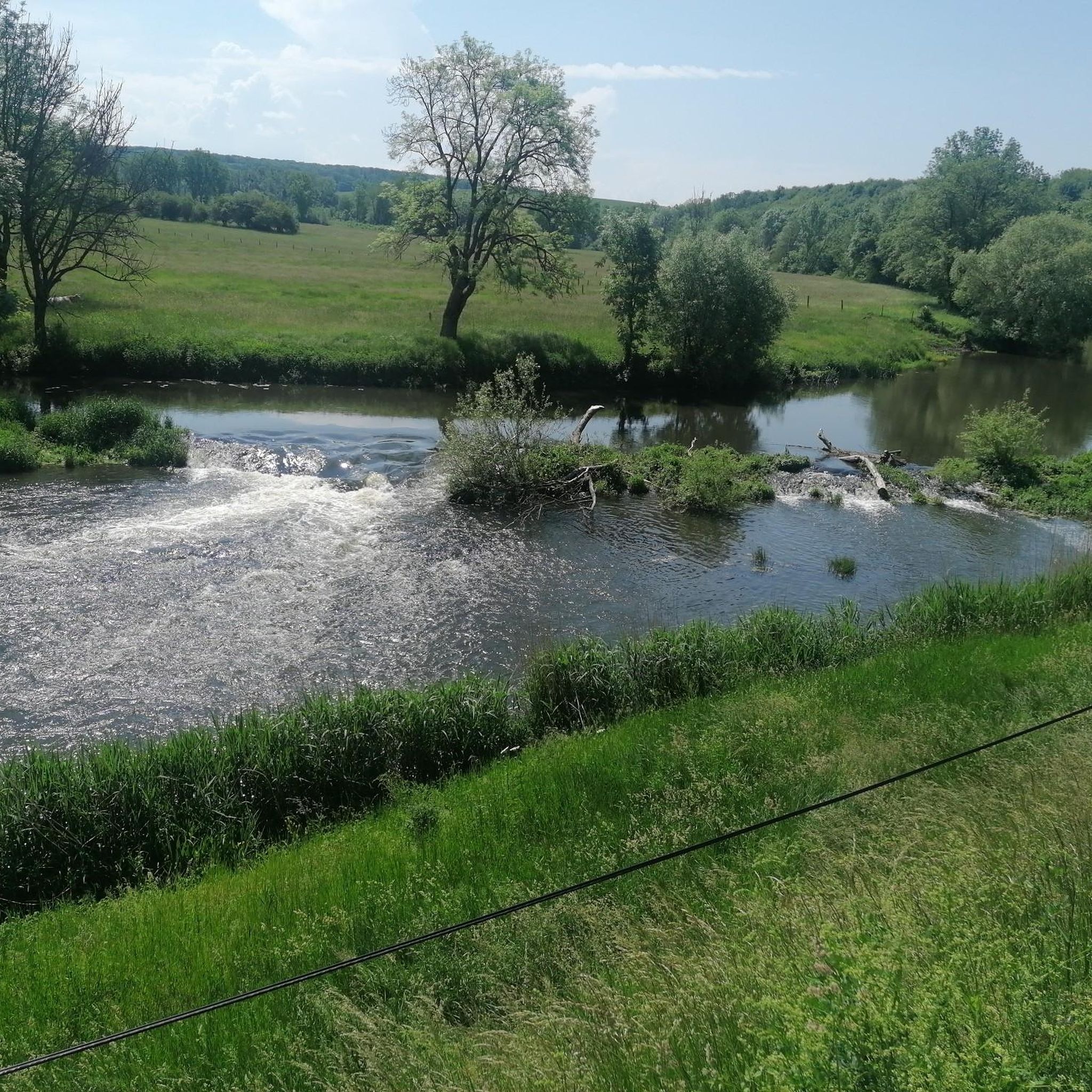
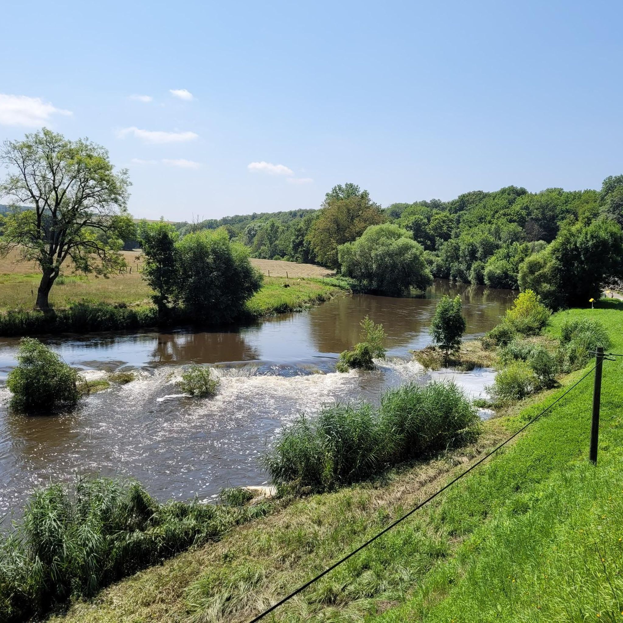
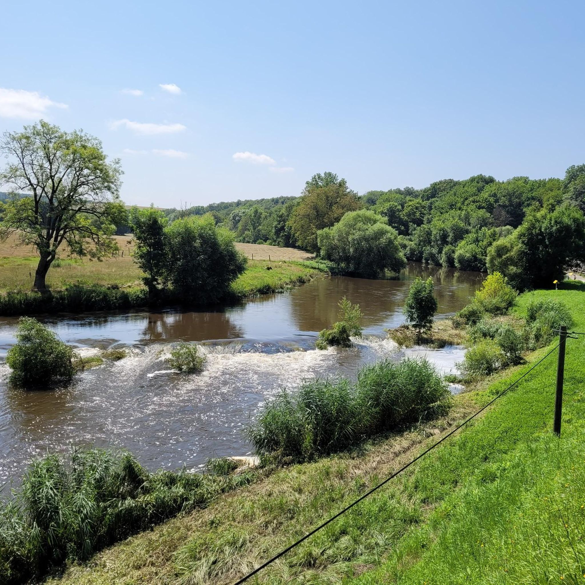
The Saar is getting "younger". On the left hand side the river and on the right hand the canal.
3
0

The Saar Coal Canal begins here. It only ends again at Gondrexange on the Rhine-Marne Canal.
2
0

low traffic and very good asphalt
0
0
Frequently Asked Questions
How many road cycling routes are available around Siltzheim?
There are over 260 road cycling routes around Siltzheim, offering a wide variety of options for different skill levels and preferences. These include easy canal-side paths, moderate rides through rural landscapes, and challenging routes with significant climbs.
What types of terrain can I expect on road cycling routes near Siltzheim?
The region around Siltzheim offers diverse terrain. You'll find mostly flat, paved paths along waterways like the Saar Coal Canal, gently rolling hills through Alsatian plains and farmlands, and more challenging ascents and descents as you approach the foothills of the Northern Vosges Regional Nature Park.
Are there any easy, family-friendly road cycling routes in Siltzheim?
Yes, for an easy and family-friendly option, consider the Saar Coal Canal at Dieding loop from Siltzheim. This 20.6 km route offers serene cycling along the canal with minimal elevation gain, making it suitable for a relaxed ride.
Where can I find challenging road cycling routes with significant climbs?
For a more challenging experience, the Schimberg loop from Kalhausen is a 64.1 km trail known for its undulating terrain and significant climbs. Another demanding option is the Untermuehl Valley, Baerenthal – Étang de Baerenthal loop from Kalhausen, which features over 1000 meters of elevation gain.
What natural features or landmarks can I see along the road cycling routes?
Road cycling routes often pass by scenic waterways like the Saar Coal Canal and the Saar River. You can also explore nearby natural attractions such as Mühlenwald Pond or the Devil's Pulpit viewpoint. The region also offers views of expansive plains and forests, especially towards the Northern Vosges foothills.
Are there any historical or cultural sites accessible by road bike?
Yes, routes can lead you to interesting historical sites. For instance, the Saint-Martin Church – Saaralb loop from Kalhausen passes through rural landscapes. You might also encounter the European Archaeological Park Bliesbruck-Reinheim or the Reinheim Princess Burial Mound on some routes.
What do other cyclists say about road biking in Siltzheim?
The road cycling routes around Siltzheim are highly rated by the komoot community, with an average score of 4.7 stars from over 170 reviews. Cyclists often praise the diverse terrain, from flat canal paths to challenging climbs, and the scenic beauty of the Alsatian countryside.
Is Siltzheim well-connected to larger cycling networks?
Yes, Siltzheim is strategically located with access to extensive cycling networks. The region is part of the broader Alsace area, which boasts over 2,500 km of bike paths. Notably, sections of the EuroVelo 5 – Via Romea often utilize the paved towpaths along the Saar Coal Canal, providing excellent long-distance road cycling opportunities.
Are there circular road cycling routes available?
Many of the road cycling routes around Siltzheim are designed as loops, allowing you to start and finish in the same location. Examples include the Saar Coal Canal at Dieding loop from Siltzheim and the Beautiful view – Bettviller loop from Kalhausen.
What is the best season for road biking in Siltzheim?
The region is generally pleasant for road cycling from spring through autumn. Spring offers blooming landscapes, while summer provides warm weather for longer rides. Autumn brings beautiful foliage, making it a scenic time to explore. Always check local weather forecasts before heading out.
Are there options for cross-border road cycling from Siltzheim?
Given Siltzheim's proximity to the German border, cyclists have opportunities for cross-border rides. This expands your route options and allows for a unique cultural experience, connecting you to the broader cycling networks of both France and Germany.
Can I find cafes or places to stop for refreshments along the routes?
While specific cafes aren't listed for every route, many routes pass through charming towns and villages in the region, such as Sarreguemines (just 6 km away), where you can find local establishments for refreshments. Planning your route with komoot can help identify potential stops.
Most popular attractions around Siltzheim

Get inspired with the komoot mobile app


Explore more
Browse the best Road cycling routes in other regions.
