The best walks and hikes around Siltzheim
4.5
(1756)
7,926
hikers
14
hikes
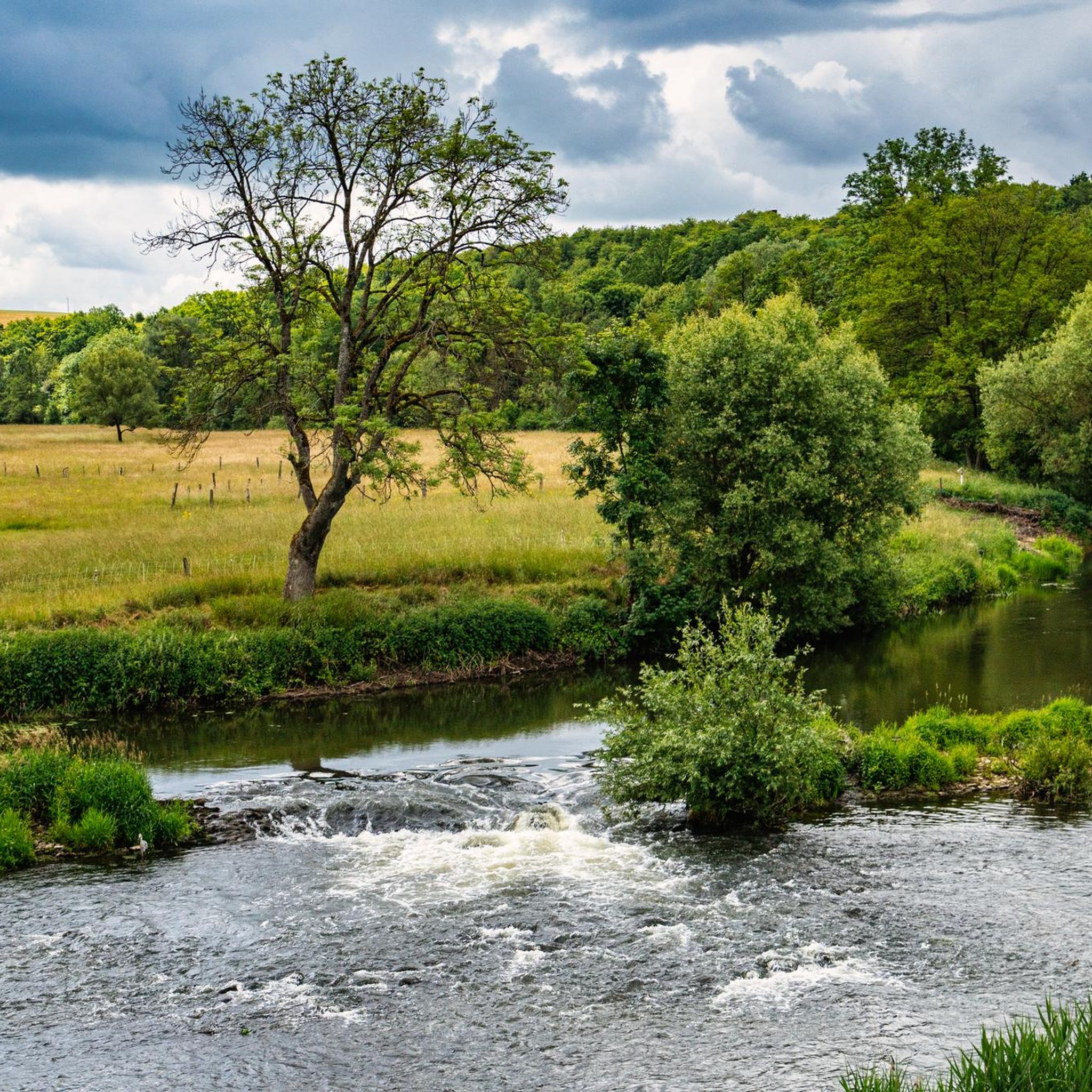
Hiking around Siltzheim offers access to diverse landscapes within the Bas-Rhin department of the Grand-Est region. The area features tranquil natural settings, including paths along the Saar River and the Saar Coal Canal, which provide scenic waterside views. Hikers can also explore the serene Zettinger Forest, characterized by shady woodland trails. Siltzheim's location near the Northern Vosges Regional Natural Park further expands opportunities for exploring varied terrain, from plains to mountains.
Best hiking trails around Siltzheim
- The most popular hiking…
Last updated: July 1, 2026
4.1
(9)
15
hikers
11.6km
03:01
80m
80m
Moderate hike. Good fitness required. Easily-accessible paths. Suitable for all skill levels.
3.5
(2)
12
hikers
7.28km
01:57
80m
80m
Easy hike. Great for any fitness level. Easily-accessible paths. Suitable for all skill levels.

Sign up for free
3.0
(1)
3
hikers
Easy hike. Great for any fitness level. Easily-accessible paths. Suitable for all skill levels.
3.0
(1)
20
hikers
Easy hike. Great for any fitness level. Easily-accessible paths. Suitable for all skill levels.
5.0
(4)
11
hikers
9.04km
02:22
70m
70m
Moderate hike. Good fitness required. Easily-accessible paths. Suitable for all skill levels.
Get access to more routes and recommendations from other explorers.
Sign up for free
Already have an account?
Our route recommendations are based on thousands of hikes, rides, and runs completed by other people on komoot.
Start today with a free account
Your next adventure awaits.
Login or Signup
Tips from the Community

also a very nice rest area with space for a hiking group
1
0

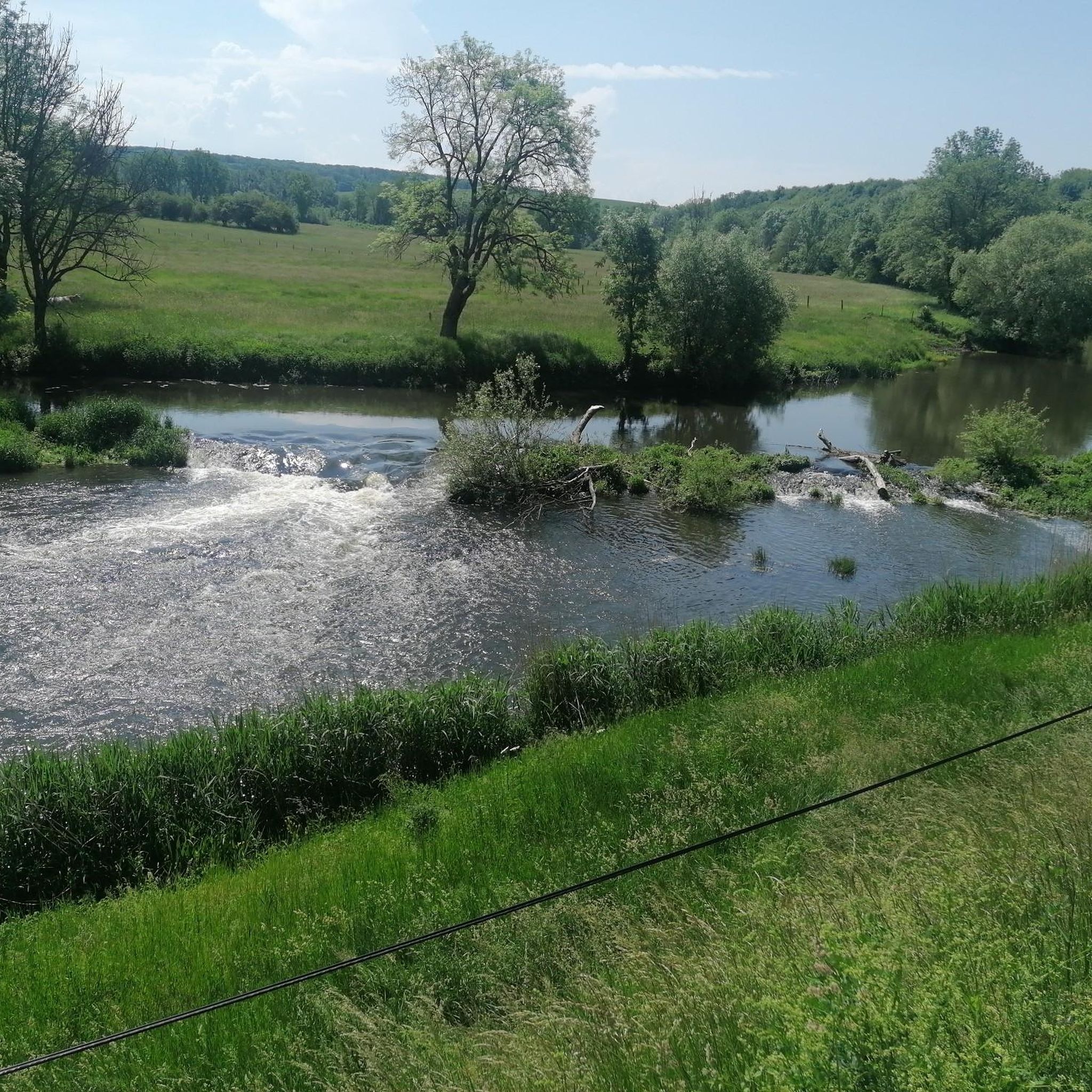
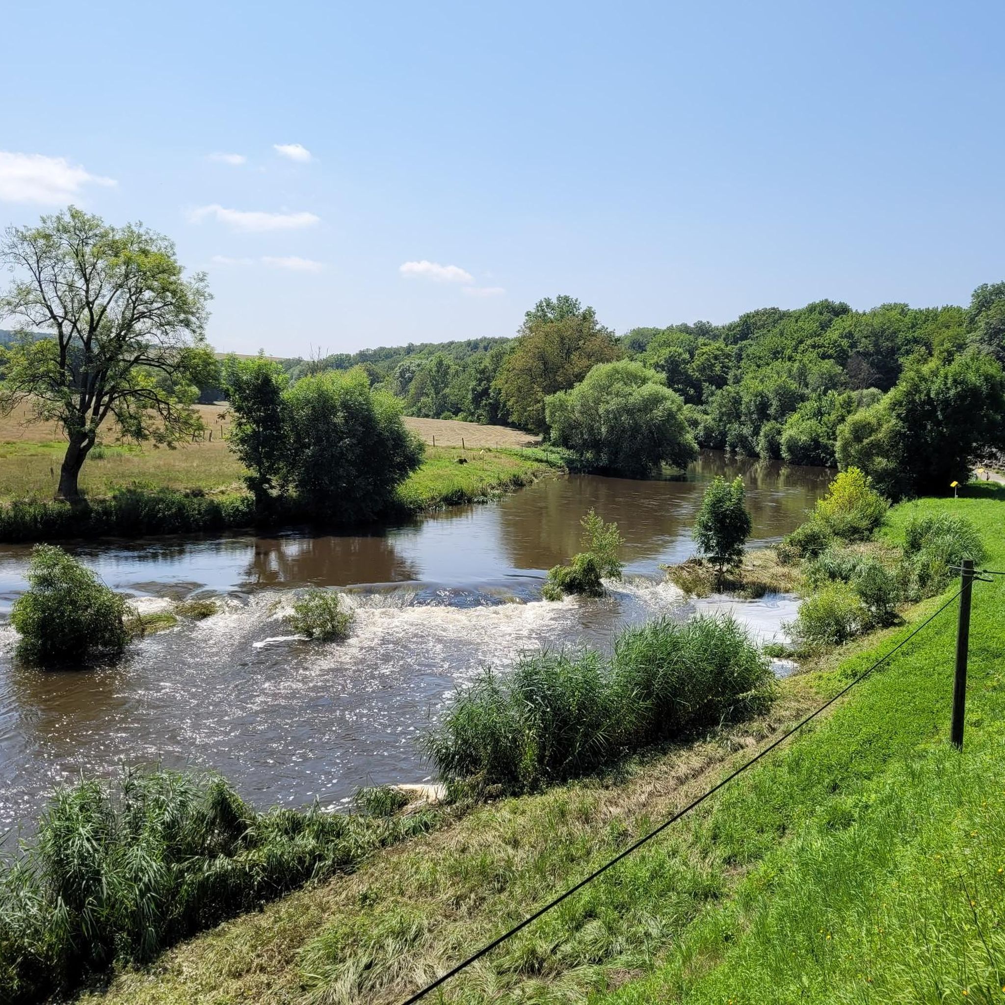
The Saar is getting "younger". On the left hand side the river and on the right hand the canal.
3
0

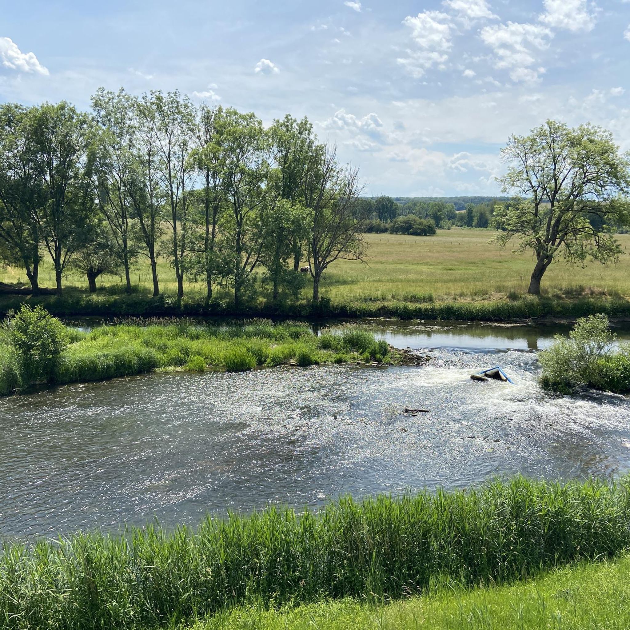
cycling along the Saar-Coal Canal with a view of the Saar. Nice here!
3
0

Beautiful valley where the Saar River and the canal flow right next to each other.
3
0

The Saar coal mine canal owes its name to its origins. It was created to transport coal from the Saarbrücken deposit. It joins the Marne-Rhine canal at Gondrexange. These two canals are now bordered by the EuroVelo 5 cycle path.
4
0

Nice branch from the Saar Canal over the fields and into the forest
0
0
Frequently Asked Questions
What kind of terrain can I expect on hiking trails around Siltzheim?
Hiking around Siltzheim offers a mix of landscapes. You'll find tranquil paths along the Saar River and the Saar Coal Canal, providing scenic waterside views. There are also serene woodland trails, particularly in the Zettinger Forest, and routes that explore the varied terrain of the wider region, including plains and areas close to the Northern Vosges Regional Natural Park.
Are there easy hiking trails suitable for beginners or families in Siltzheim?
Yes, Siltzheim has several easy trails. For instance, the Hiking loop from Siltzheim is an easy 4.5-mile (7.3 km) path. Another accessible option is the Zettinger Forest – Historical milestone of 1768 loop from Siltzheim, which is 3.5 miles (5.6 km) and leads through shady forest paths, ideal for a refreshing walk.
What are some notable natural features or landmarks I can see while hiking near Siltzheim?
The region offers several interesting natural features and landmarks. You can explore various ponds like Mühlenwald Pond or Welschhof Pond. For historical interest, consider visiting the European Archaeological Park Bliesbruck-Reinheim or the Reinheim Princess Burial Mound. There's also the Devil's Pulpit, which offers a viewpoint.
Are there any circular hiking routes available in Siltzheim?
Many of the trails around Siltzheim are designed as loops. For example, the popular Saar Coal Canal at Dieding – Saar loop from Siltzheim is a 7.2-mile (11.6 km) route. Another option is the Saar – Circuit des 2 chapelles loop from Siltzheim, which is a moderate 5.6-mile (9.0 km) trail.
What is the best time of year to go hiking in Siltzheim?
Siltzheim's diverse landscapes, including forest paths and waterside trails, make it suitable for hiking across multiple seasons. Spring and autumn offer pleasant temperatures and vibrant scenery, while the shady forest paths are ideal for refreshing walks during warmer summer months. Always check local weather conditions before heading out.
How many hiking trails are there in the Siltzheim area?
There are over 10 hiking routes available around Siltzheim, offering a variety of experiences from easy walks to more moderate trails. These routes explore river valleys, historic canals, and dense woodlands.
What do other hikers say about the trails in Siltzheim?
The hiking routes in Siltzheim are highly rated by the komoot community, with an average score of 4.5 stars from over 1,600 reviews. Hikers often praise the tranquil natural settings, the scenic views along the Saar River and Canal, and the well-maintained paths through the Zettinger Forest.
Are there any trails that offer historical insights or points of interest?
Yes, some trails incorporate historical elements. The Zettinger Forest – Historical milestone of 1768 loop from Siltzheim takes you past a historical milestone. Additionally, the wider region has historical sites like the European Archaeological Park Bliesbruck-Reinheim, which can be explored in conjunction with hikes.
What are the typical durations for hikes around Siltzheim?
Hiking durations vary depending on the route's length and your pace. For example, the Saar Coal Canal at Dieding – Saar loop from Siltzheim typically takes around 3 hours 18 minutes. Shorter, easier routes like the Outdoor Classroom of Zetting – Viewpoint With Bench and Cross loop from Siltzheim can be completed in about 1 hour 53 minutes.
Is Siltzheim a good base for exploring the wider Alsace region?
Yes, Siltzheim's location in the Bas-Rhin department provides access to the varied natural beauty of the Alsace region. It's close to the Northern Vosges Regional Natural Park, which is known for its extensive network of marked trails and diverse landscapes, including pink sandstone rocks and rich flora. For more information on the region's nature and wellbeing, you can visit visit.alsace.
Are there any viewpoints along the hiking trails in Siltzheim?
Yes, some trails offer viewpoints. For instance, the Outdoor Classroom of Zetting – Viewpoint With Bench and Cross loop from Siltzheim specifically highlights a viewpoint. Additionally, the Devil's Pulpit is a notable viewpoint in the vicinity.
Most popular routes around Siltzheim
Most popular attractions around Siltzheim

Get inspired with the komoot mobile app


Explore more
Browse the best Hikes in other regions.
