The best road cycling routes around Chabestan
4.5
(183)
3,838
riders
94
rides
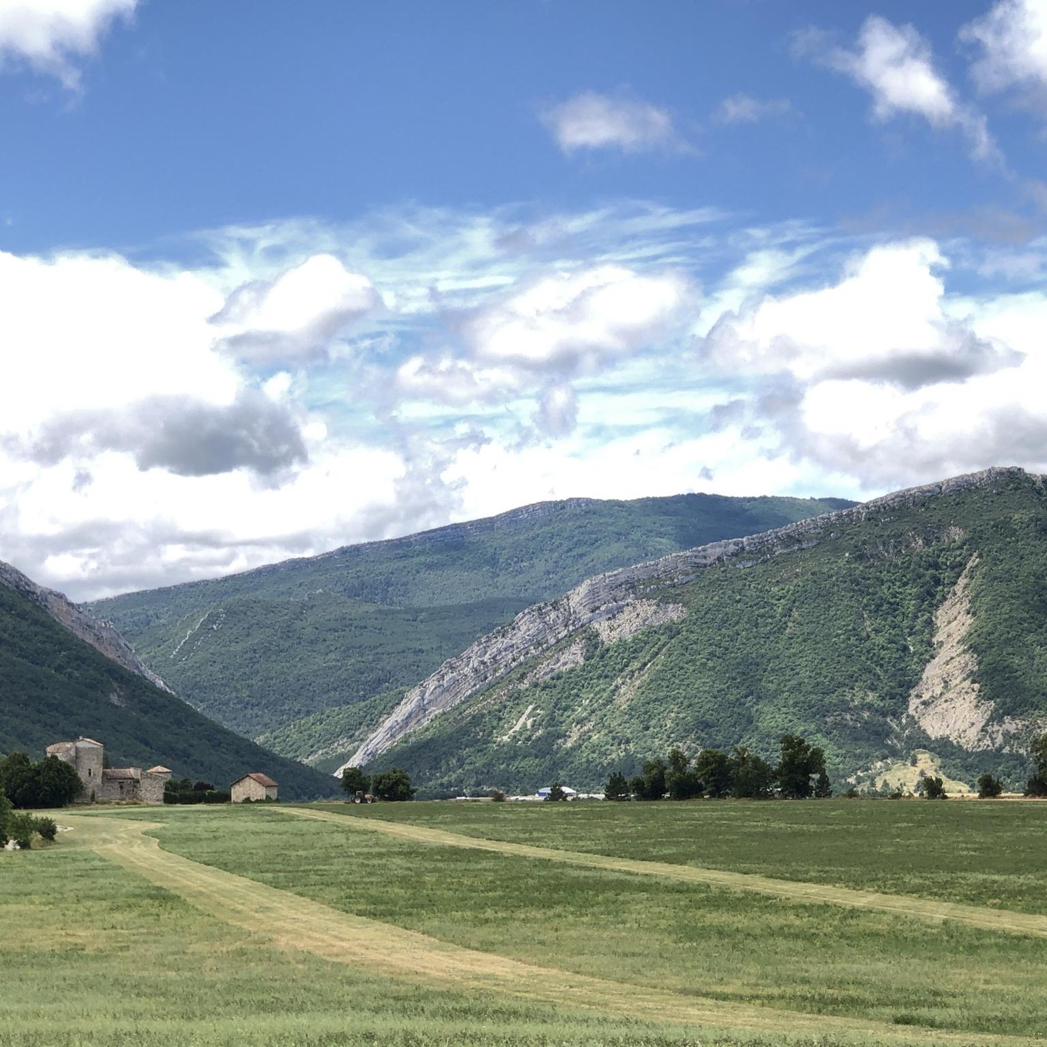
Road cycling around Chabestan is characterized by its mountainous terrain within the Southern French Alps, offering significant elevation changes and winding roads. The region features elevations ranging from 715 to 1,360 meters, providing a challenging environment for cyclists. Natural features such as the Petit Buëch torrent, Roc de Longue Dent, and Bois de Cellas contribute to the varied landscape. This setting provides access to numerous high mountain passes and scenic routes.
Best road cycling routes around Chabestan
- The most popular…
Last updated: July 8, 2026
5.0
(1)
54
riders
74.5km
04:00
1,440m
1,440m
Hard road ride. Very good fitness required. Mostly well-paved surfaces and easy to ride.
4.7
(14)
292
riders
85.4km
04:08
1,120m
1,120m
Hard road ride. Very good fitness required. Some segments of this route may be unpaved and difficult to ride.

Sign up for free
4.4
(17)
145
riders
32.3km
01:33
480m
480m
Moderate road ride. Good fitness required. Mostly well-paved surfaces and easy to ride.
5.0
(4)
102
riders
64.7km
03:22
1,190m
1,190m
Hard road ride. Very good fitness required. Mostly well-paved surfaces and easy to ride.
4.5
(10)
123
riders
52.4km
02:41
790m
790m
Moderate road ride. Good fitness required. Some segments of this route may be unpaved and difficult to ride.
Get access to more routes and recommendations from other explorers.
Sign up for free
Already have an account?
Our route recommendations are based on thousands of hikes, rides, and runs completed by other people on komoot.
Start today with a free account
Your next adventure awaits.
Login or Signup

Tips from the Community

The Col de Verniers via Châteauneuf d'Oze is a climb located in the Hautes-Alpes region. This climb is 2.4 km long, with a total elevation gain of 124 m. The Col de Verniers via Châteauneuf d'Oze has an average gradient of 5.1%.
8
0
The Col d'Espreaux is a climb located in the Hautes-Alpes region. This climb is 12.2 km long, with a total elevation gain of 585 m. The Col d'Espreaux has an average gradient of 4.8%.
8
0
Ancient building maintained in excellent condition.
4
0
The water here is very good and fresh.
7
0
You can safely drink the water here.
7
0
Ascent on a secondary road, very easy slopes. Be careful of the slightly slippery asphalt.
3
0
The Col de Foureyssasse from La Saulce is a climb located in the Hautes-Alpes region. This climb is 7 km long, with a total elevation gain of 461 m. The Col de Foureyssasse from La Saulce has an average gradient of 6.6%.
6
0
Exceptional viewpoint for taking amazing photos
18
0
Frequently Asked Questions
How many road cycling routes are available around Chabestan?
There are approximately 78 road cycling routes around Chabestan, catering to various skill levels. You'll find a good mix of easy, moderate, and difficult trails to explore.
Are there road cycling routes suitable for beginners or families in Chabestan?
Yes, Chabestan offers 6 easy road cycling routes perfect for beginners or families looking for a more relaxed ride. These routes provide a gentle introduction to the region's beautiful scenery without significant elevation challenges.
What are the most challenging road cycling routes around Chabestan?
For experienced cyclists seeking a challenge, Chabestan boasts 37 difficult routes with substantial elevation gain. Notable challenging routes include the Haut-Buëch Loop, which covers 46.3 miles (74.5 km) with over 1,400 meters of ascent, and the Gorges des Gats – Claps Rock Chaos loop from Aspres-sur-Buëch, a demanding 71.1 miles (114.5 km) route with over 1,800 meters of climbing.
What kind of landscapes and views can I expect while road cycling in Chabestan?
Road cycling in Chabestan offers spectacular mountainous terrain within the Southern French Alps. You'll encounter winding roads, significant elevation changes, and stunning vistas. The region is characterized by natural features like the Petit Buëch torrent, the prominent Roc de Longue Dent, and the Bois de Cellas, all contributing to a varied and picturesque backdrop.
Are there any famous mountain passes accessible from Chabestan for road cyclists?
Absolutely. Chabestan serves as an excellent base for exploring some of the Hautes-Alpes' legendary mountain passes, often featured in the Tour de France. These include iconic climbs like the Izoard Pass, Galibier Pass, Lautaret Pass, Bonette Pass, Vars Pass, and Noyer Pass, offering challenging ascents and breathtaking panoramic views. You can also find routes that incorporate passes like Espréaux Pass and Col de Carabès.
When is the best time of year to go road cycling in Chabestan?
The best time for road cycling in Chabestan is typically during the warmer months, from late spring to early autumn, when the mountain passes are clear of snow and the weather is most favorable. This period offers pleasant temperatures and optimal conditions for tackling the region's challenging climbs and enjoying its scenic routes.
What do other road cyclists enjoy most about the routes in Chabestan?
The road cycling routes in Chabestan are highly rated by the komoot community, with an average score of 4.5 stars from over 130 reviews. Cyclists frequently praise the challenging mountainous terrain, the stunning views of the Southern French Alps, and the variety of routes available, from demanding climbs to more moderate options.
Are there any circular road cycling routes around Chabestan?
Yes, many of the routes around Chabestan are designed as loops, allowing you to start and finish in the same location. Examples include the Lake Pelleautier – Espréaux Pass loop from Aspres-sur-Buëch and the Col de Carabès – Cabre Pass (1,180 m) loop from Aspres-sur-Buëch, both offering rewarding circular journeys through the region's beautiful landscapes.
Are there any moderate road cycling routes available in the area?
Yes, Chabestan offers 35 moderate road cycling routes, providing a good balance of challenge and accessibility. An example is the View of L'Aujour – Verniers Pass loop from La Bâtie-Montsaléon, which covers 24.5 miles (39.4 km) with around 480 meters of elevation gain, making it a great option for those looking for a substantial ride without extreme difficulty.
What attractions or points of interest can I see along the road cycling routes?
Beyond the natural beauty, you can encounter several points of interest. Routes might take you near mountain passes like Faye Pass or Verniers Pass. Other attractions in the broader area include the historic Clausonne Abbey and scenic spots like The Shores of the Lake.
Is Chabestan connected to any major long-distance cycling routes?
Yes, Chabestan is situated near major cycling routes like portions of the Route des Grandes Alpes. This spectacular 700 km journey traverses the French Alps from Lake Geneva to the Mediterranean, crossing numerous high mountain passes, making Chabestan a strategic point for exploring sections of this iconic route.
What are the typical elevation changes on road cycling routes in Chabestan?
The road cycling routes in Chabestan are characterized by significant elevation changes due to the mountainous terrain. Elevations in the region range from 715 to 1,360 meters. Many difficult routes feature over 1,000 meters of ascent, with some, like the Gorges des Gats – Claps Rock Chaos loop, exceeding 1,800 meters of climbing.
Most popular attractions around Chabestan

Get inspired with the komoot mobile app


Explore more
Browse the best Road cycling routes in other regions.
