The best walks and hikes around Vereux
4.4
(23)
128
hikers
24
hikes
Hiking around Vereux, a commune in Haute-Saône, France, offers access to diverse natural landscapes. The region is characterized by the tranquil Saône and Ognon rivers, providing pleasant walking paths through their valleys. Nearby, the Plateau des 1000 Étangs features a mosaic of forests, meadows, and ponds, while the Ballon d'Alsace mountain offers trails through fir forests and grassy slopes. This varied terrain provides a range of hiking experiences from riverside strolls to more elevated paths.
Best hiking trails around Vereux
…Last updated: July 4, 2026
5.0
(1)
19
hikers
11.0km
02:48
40m
30m
Moderate hike. Good fitness required. Easily-accessible paths. Suitable for all skill levels.
5.0
(1)
17
hikers
10.1km
02:33
20m
20m
Moderate hike. Good fitness required. Easily-accessible paths. Suitable for all skill levels.

Sign up for free
4.0
(2)
28
hikers
Easy hike. Great for any fitness level. Easily-accessible paths. Suitable for all skill levels.
4.0
(2)
2
hikers
5.19km
01:22
50m
50m
Easy hike. Great for any fitness level. Easily-accessible paths. Suitable for all skill levels.
4.0
(1)
6
hikers
Easy hike. Great for any fitness level. Easily-accessible paths. Suitable for all skill levels.
Get access to more routes and recommendations from other explorers.
Sign up for free
Already have an account?
Our route recommendations are based on thousands of hikes, rides, and runs completed by other people on komoot.
Start today with a free account
Your next adventure awaits.
Login or Signup
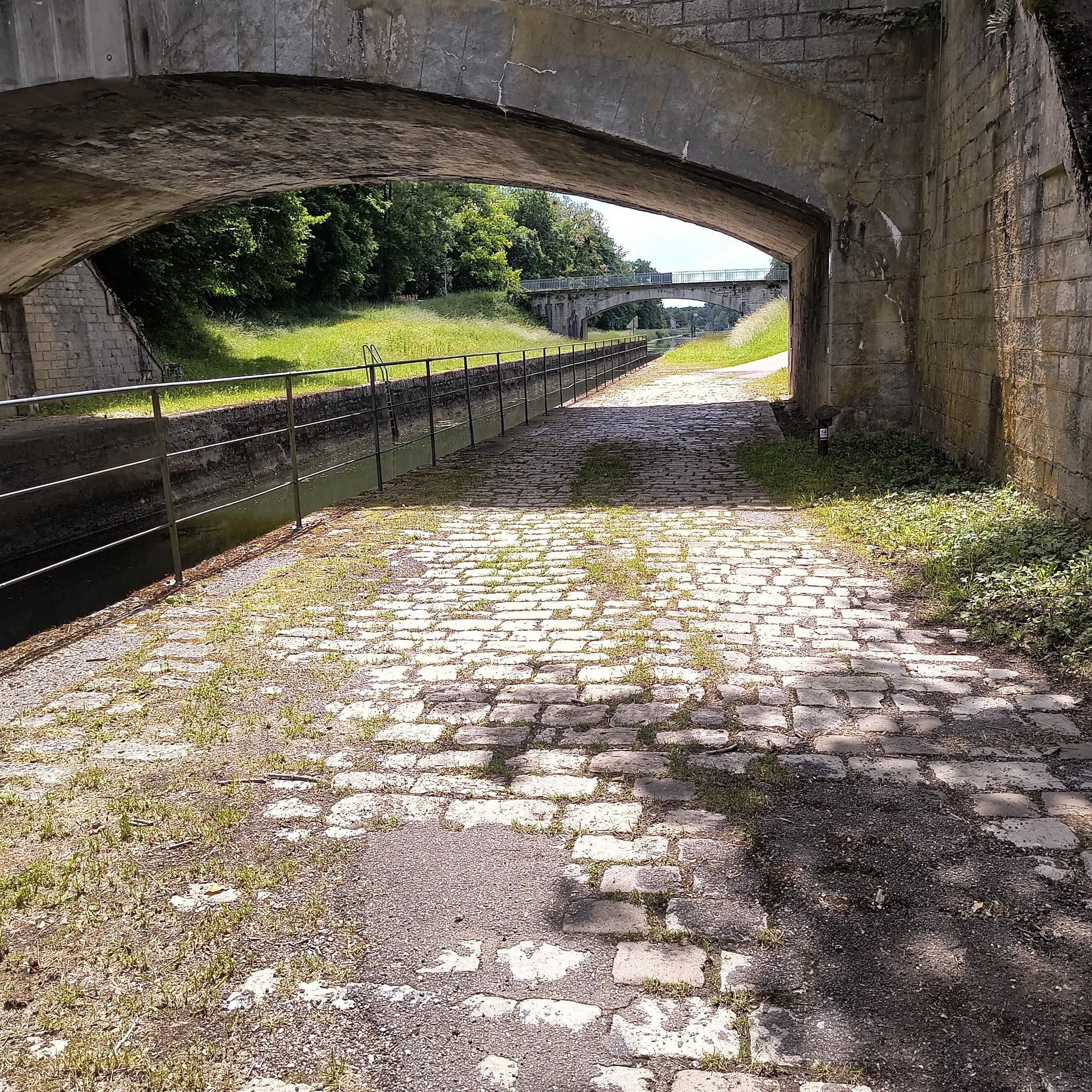
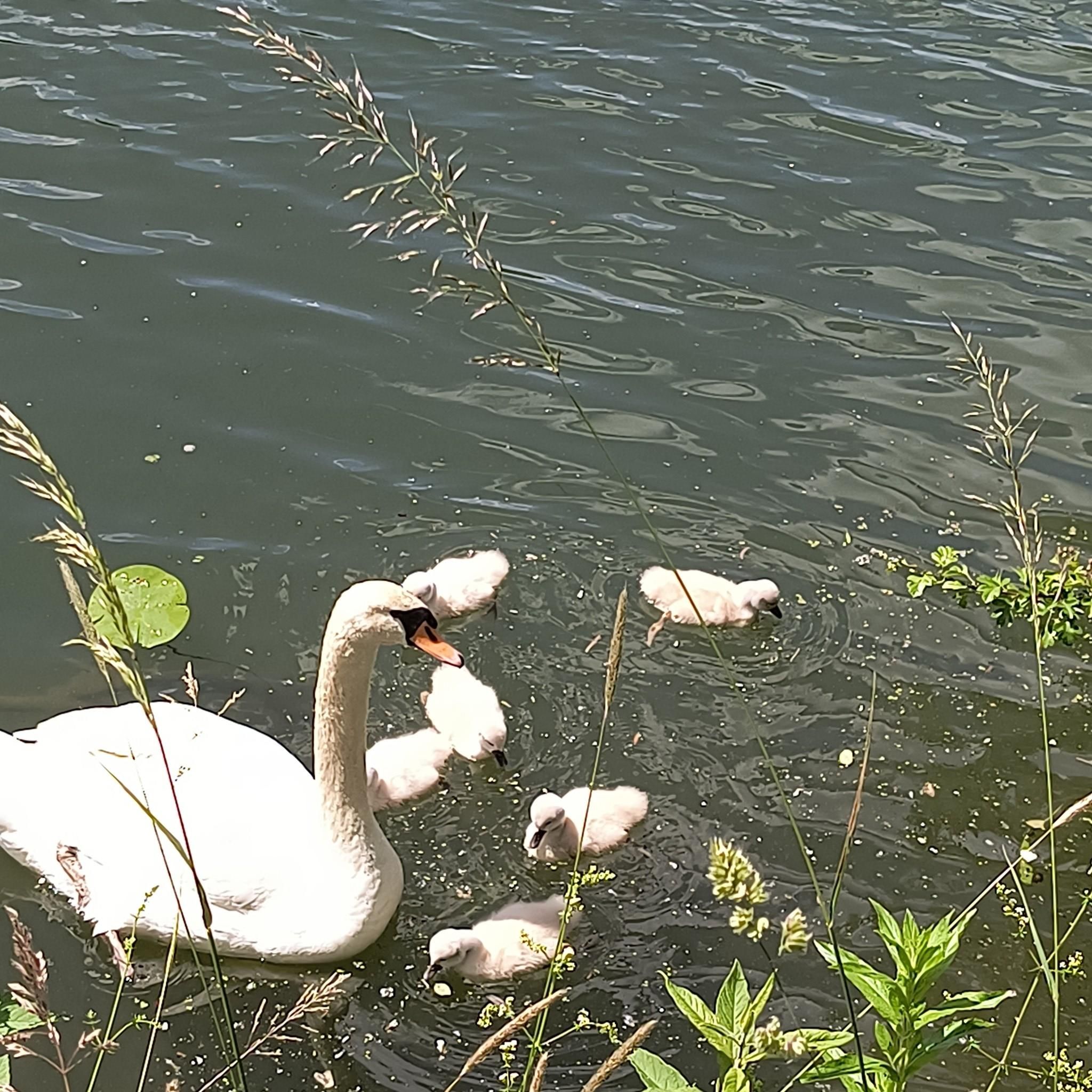


Tips from the Community

A tranquil French town.
3
0

Very small church and its pretty Comtois bell tower decorated with diamonds. It was built in the 16th century (Flamboyant Gothic style) then its facade was redone two centuries later.
0
0

This magnificent stone bridge built in 1647 was destroyed several times. It is the main entrance to the town of Gray. The extract from the city's cadastre dated 1851 mentions: "The Saône bridge is one of the buildings which cost the city of Gray the most. In 1358, water and ice having completely ruined it, it was necessary , to restore it, more than three hundred gold florins. "
1
0

Very pretty wash house built in 1844, and its fountain
0
0

In Gray, a stone bridge with thirteen arches leads across the Saône, which was built from 1750 to 1758 on the site of a wooden bridge that was destroyed several times by wars and floods.
4
3
Frequently Asked Questions
How many hiking trails are available around Vereux?
There are over 20 hiking routes available around Vereux, offering a variety of experiences from easy strolls to more moderate paths. The komoot community has rated these trails highly, with an average score of 4.3 stars.
Are there easy hiking options suitable for beginners or families?
Yes, Vereux offers several easy hiking options perfect for beginners or families. For instance, the Pont de Pierre of Gray – View of the Saône River in Gray loop from Gray is an easy 2.6-mile (4.2 km) trail that takes about 1 hour and 5 minutes to complete, offering pleasant riverside scenery. Another easy option is the Hiking loop from Vaite, which is 3.2 miles (5.2 km) long.
Can I find circular hiking routes near Vereux?
Absolutely. Many of the trails around Vereux are designed as circular routes, allowing you to start and end at the same point. Popular options include the Pont de Pierre of Gray loop from Gray, a 6.2-mile (10.0 km) route, and the Pont de Pierre of Gray loop from Rigny, which is 6.3 miles (10.1 km) long. Both offer scenic views along the Saône River.
What kind of landscapes can I expect to see while hiking around Vereux?
Hiking around Vereux immerses you in the diverse natural landscapes of Haute-Saône. You'll encounter tranquil riverside paths along the Saône and Ognon rivers, dense forests, and the unique mosaic of ponds and wetlands characteristic of the nearby Plateau des Mille Étangs. The region offers a blend of serene waterways and lush woodlands.
Are there any notable attractions or points of interest along the trails?
While hiking around Vereux, you can discover several interesting points. The historic Pont de Pierre of Gray is a prominent landmark, often featured on riverside routes. You might also encounter the Savoyeux Tunnel, an impressive piece of engineering. The town of Gray itself, with its promenade and historical structures, is a charming stop.
Are the hiking trails around Vereux suitable for dogs?
Many of the trails around Vereux, particularly those through forests and along riverbanks, are generally suitable for dogs. It's always recommended to keep your dog on a leash, especially in areas with wildlife or near agricultural land, and to check local regulations for specific routes.
What is the best time of year to go hiking in Vereux?
The best time for hiking around Vereux is typically from spring through autumn. During these seasons, the weather is generally mild and pleasant, making for comfortable walks along the rivers and through the forests. Autumn offers particularly beautiful scenery with changing foliage, while spring brings blooming wildflowers.
What do other hikers say about the trails in Vereux?
The hiking trails around Vereux are highly rated by the komoot community, with an average score of 4.3 stars from over 10 reviews. Hikers often praise the tranquility of the riverside paths, the peacefulness of the forest trails, and the varied terrain that offers something for different fitness levels.
Are there any specific trails that offer views of the Saône River?
Yes, several trails prominently feature the Saône River. The Pont de Pierre of Gray loop from Gray and the Pont de Pierre of Gray loop from Rigny both follow the Saône, providing continuous scenic views of the waterway. The shorter Pont de Pierre of Gray – View of the Saône River in Gray loop from Gray also offers lovely riverside scenery.
Is it possible to hike in Vereux during winter?
Winter hiking around Vereux is possible, especially on the lower-elevation riverside paths. While the landscape takes on a different, often serene beauty, be prepared for colder temperatures and potentially icy or muddy conditions. Always check weather forecasts and trail conditions before heading out.
What wildlife might I encounter on the trails around Vereux?
The diverse habitats around Vereux, including forests and wetlands, support a variety of wildlife. You might spot various bird species, especially near the rivers and the Plateau des Mille Étangs, which is known for its ecological importance. Deer, foxes, and smaller mammals are also present in the forested areas.
Are there any accessible trails for wheelchairs or strollers?
While specific wheelchair-accessible trails are not explicitly highlighted, the flatter, well-maintained sections of riverside paths, particularly those close to towns like Gray, may offer easier access for strollers. For full wheelchair accessibility, it's advisable to check individual trail conditions and surfaces beforehand.
Where can I find parking for the hiking trails?
For trails starting near towns like Gray, you can typically find public parking areas. For routes that begin in smaller villages or more rural settings, roadside parking might be available. It's always a good idea to check the starting point of your chosen route on komoot for specific parking information or suggestions.
Most popular attractions around Vereux

Get inspired with the komoot mobile app


Explore more
Browse the best Hikes in other regions.
