The best running trails around Waldersbach
4.2
(84)
3,614
runners
233
runs
Jogging around Waldersbach offers a diverse landscape for runners. The region is characterized by its hilly terrain and dense woodlands, providing numerous trails with significant elevation changes. Many routes traverse mountain passes and offer challenging ascents, making it a suitable area for those seeking a demanding running experience. The natural environment around Waldersbach is primarily forested, with paths winding through varied forest types.
Best jogging routes around Waldersbach
- The most popular jogging route is Le Champ du Feu, a…
Last updated: July 5, 2026
15
runners
20.0km
02:34
1,000m
1,000m
Hard run. Very good fitness required. Mostly paved surfaces. Suitable for all skill levels.
109
runners
14.4km
01:53
510m
510m
Hard run. Very good fitness required. Mostly paved surfaces. Suitable for all skill levels.

Sign up for free
104
runners
17.0km
02:13
650m
650m
Hard run. Very good fitness required. Mostly paved surfaces. Suitable for all skill levels.
4.9
(8)
99
runners
13.7km
01:44
420m
420m
Hard run. Very good fitness required. Mostly paved surfaces. Suitable for all skill levels.
4.0
(1)
25
runners
12.5km
01:39
460m
460m
Hard run. Very good fitness required. Mostly paved surfaces. Suitable for all skill levels.
Get access to more routes and recommendations from other explorers.
Sign up for free
Already have an account?
Our route recommendations are based on thousands of hikes, rides, and runs completed by other people on komoot.
Start today with a free account
Your next adventure awaits.
Login or Signup

Tips from the Community

The Cascade de la Serva is located in the Vosges in Alsace, near the Champ du Feu. The stream La Serva originates there at an altitude of over 1000 m in the moor and forest areas of the high plateau. On its approximately 3 km long course, it flows through dense Vosges forest and forms the well-known Cascade de la Serva with several natural waterfall cascades, before later flowing into the Rothaine.
0
0


Good trail, can also be done uphill with the eMTB
0
0

Treat yourself to an authentic getaway in the Vosges Mountains. Located in Belmont, near Strasbourg, the 4-star Mont Champ du Feu hotel welcomes you to an idyllic setting surrounded by nature. The perfect place to relax and stock up on memories. Find all the information here: https://tinyurl.com/54jywbjn.
0
0


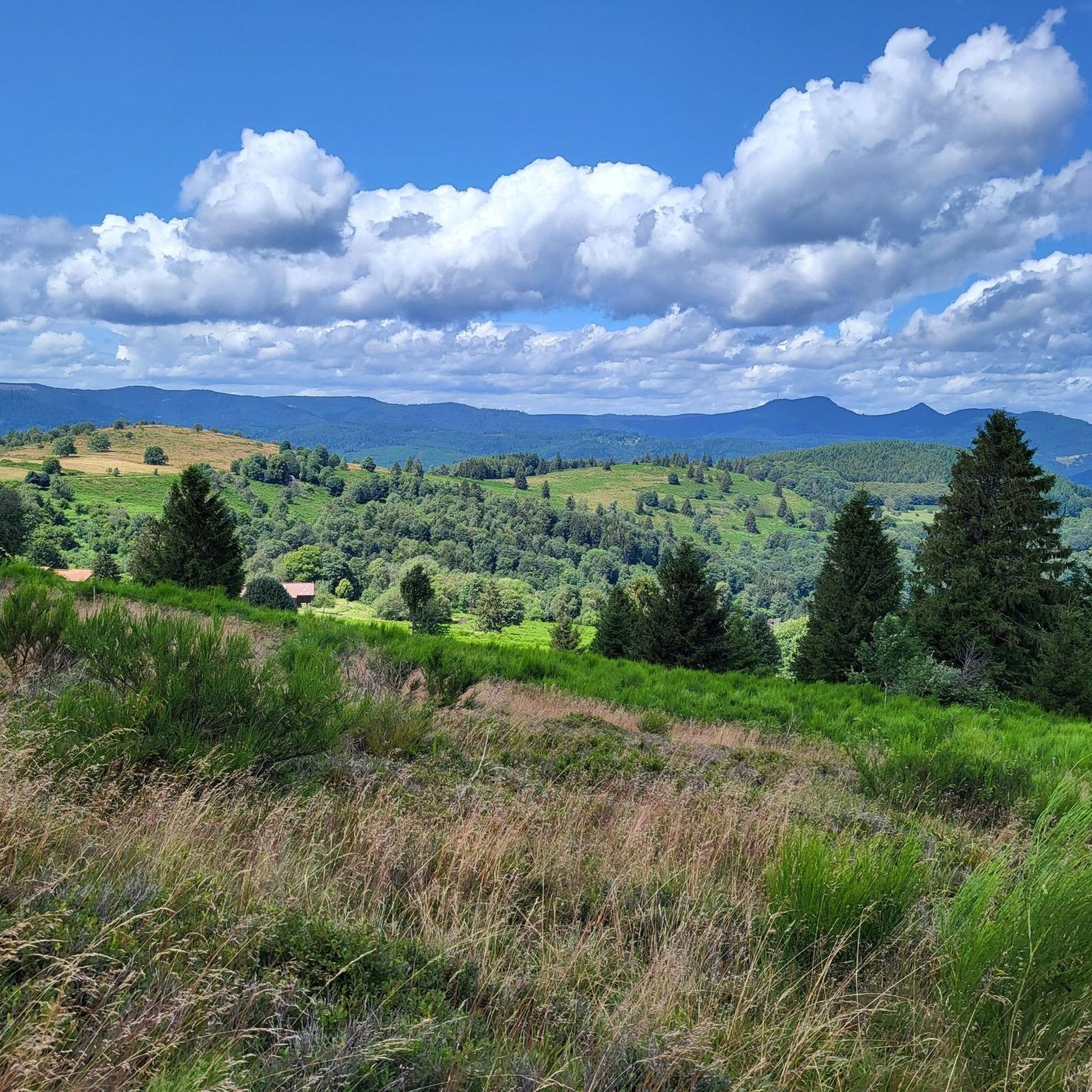
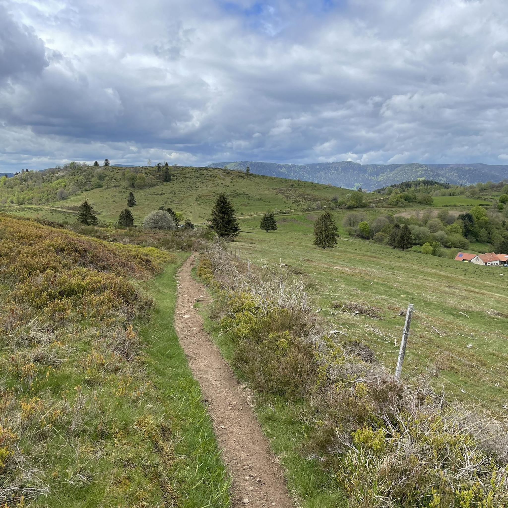
One of my favorite places in the Bruche Valley. Below the Champ du Feu, the vegetation fades to enhance the landscape. You can perfectly observe the Donon and the surrounding peaks in a hilly landscape, especially if you climb Mont Saint-Jean. The place is perfect for a picnic in summer. And for the most gourmet, the Perheux farmhouse inn is only a few meters away.
2
0

Great view of the Bruche valley including the Donon (on the other side of the river); see picture
0
0
Frequently Asked Questions
How many running routes are available around Waldersbach?
There are over 200 running routes available in the Waldersbach region, catering to various skill levels. The area is known for its hilly terrain and dense woodlands, offering a diverse range of trails.
Are there any easy or beginner-friendly jogging routes in Waldersbach?
While many routes in Waldersbach feature significant elevation changes, there are 8 routes classified as easy. These paths offer a less demanding experience, perfect for beginners or those looking for a lighter run.
What kind of terrain can I expect on the running trails around Waldersbach?
The terrain around Waldersbach is primarily characterized by hilly landscapes and dense woodlands. You'll find paths winding through varied forest types, often involving challenging ascents and descents, especially on routes traversing mountain passes.
What do other runners enjoy most about jogging in Waldersbach?
The running routes in Waldersbach are highly rated by the komoot community, with an average score of 4.4 stars from over 40 reviews. Runners often praise the challenging mountain passes, the beauty of the dense forest trails, and the significant elevation changes that make for a rewarding experience.
Are there circular running routes available in the Waldersbach area?
Yes, many of the running routes around Waldersbach are circular. For example, the Col de la Perheux loop from Belmont and the Charbonnière Pass – Champ du Feu Monoliths loop from Belmont are popular options that bring you back to your starting point.
What are some notable landmarks or points of interest I might see while running?
While running, you might encounter several interesting landmarks. The region is home to historical sites like Salm Castle and La Roche Castle. You'll also traverse significant mountain passes such as Champ du Feu and Charbonnière Pass, which offer scenic views.
Are there any family-friendly running options in Waldersbach?
While many routes are challenging, some of the easier paths can be suitable for families looking for a less strenuous run. It's advisable to check the difficulty and length of specific routes to ensure they align with your family's fitness level.
Can I bring my dog on the running trails around Waldersbach?
Many trails in the forested areas around Waldersbach are generally dog-friendly. However, it's always recommended to keep your dog on a leash, especially in nature reserves or areas with livestock, and to check local regulations for specific routes.
What is the typical duration for a running route in this region?
Running durations vary significantly based on the route's length and difficulty. For instance, the popular Le Champ du Feu route, which is 12.4 miles (19.9 km) long, typically takes about 2 hours 34 minutes to complete due to its difficult rating and substantial elevation gain.
Are there any moderate difficulty running routes in Waldersbach?
Yes, there are 79 routes classified as moderate difficulty. These routes offer a good balance of challenge and accessibility, perfect for runners looking for something more than an easy path but less demanding than the difficult mountain trails. An example is the Charbonnière Pass – Champ du Feu Monoliths loop from Belmont.
What is the best time of year to go running in Waldersbach?
The dense woodlands and hilly terrain of Waldersbach offer beautiful scenery throughout much of the year. Spring and autumn provide pleasant temperatures and vibrant natural colors. Summer can be warm, but the shaded forest trails offer some respite. Winter running is possible, but be prepared for colder conditions and potentially icy or snowy paths, especially at higher elevations.
Most popular routes around Waldersbach
Most popular attractions around Waldersbach

Get inspired with the komoot mobile app


Explore more
Browse the best Running Trails & Routes in other regions.
