The best cycling routes around Waldersbach
4.4
(185)
2,048
riders
126
rides
Touring cycling around Waldersbach offers diverse landscapes in the Bas-Rhin department of France's Grand Est region. Situated at an altitude of 500 meters, the area features a mountain climate with winding roads and valleys shaped by the Chergoutte stream. It serves as a gateway to the Vosges Mountains, characterized by green forests, rolling hills, and the nearby Champ du Feu. The region's well-developed cycling infrastructure includes numerous bike lanes and dedicated cycle routes.
Best touring cycling routes around Waldersbach
- The…
Last updated: October 8, 2026
4.7
(3)
41
riders
41.4km
03:14
1,120m
1,110m
Hard bike ride. Very good fitness required. Mostly paved surfaces. Suitable for all skill levels.
13
riders
32.0km
03:40
1,090m
1,090m
Hard bike ride. Very good fitness required. You may need to push your bike for some segments of this route.

5.0
(2)
18
riders
16.3km
01:02
140m
140m
Easy bike ride. Great for any fitness level. Mostly paved surfaces. Suitable for all skill levels.
4.5
(2)
28
riders
29.6km
01:50
220m
220m
Moderate bike ride. Good fitness required. Mostly paved surfaces. Suitable for all skill levels.
5.0
(1)
22
riders
35.4km
03:00
750m
750m
Hard bike ride. Very good fitness required. Mostly paved surfaces. Suitable for all skill levels.
Get access to more routes and recommendations from other explorers.
Already have an account?
Our route recommendations are based on thousands of hikes, rides, and runs completed by other people on komoot.
Start today with a free account
Your next adventure awaits.
Tips from the Community


The Cascade de la Serva is located in the Vosges in Alsace, near the Champ du Feu. The stream La Serva originates there at an altitude of over 1000 m in the moor and forest areas of the high plateau. On its approximately 3 km long course, it flows through dense Vosges forest and forms the well-known Cascade de la Serva with several natural waterfall cascades, before later flowing into the Rothaine.
0
0
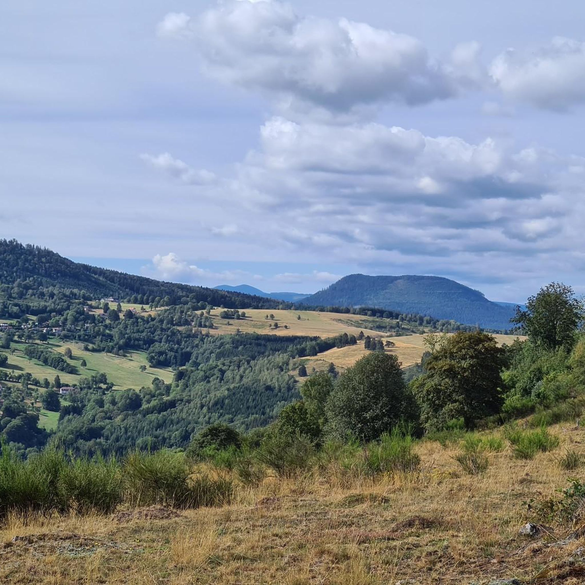
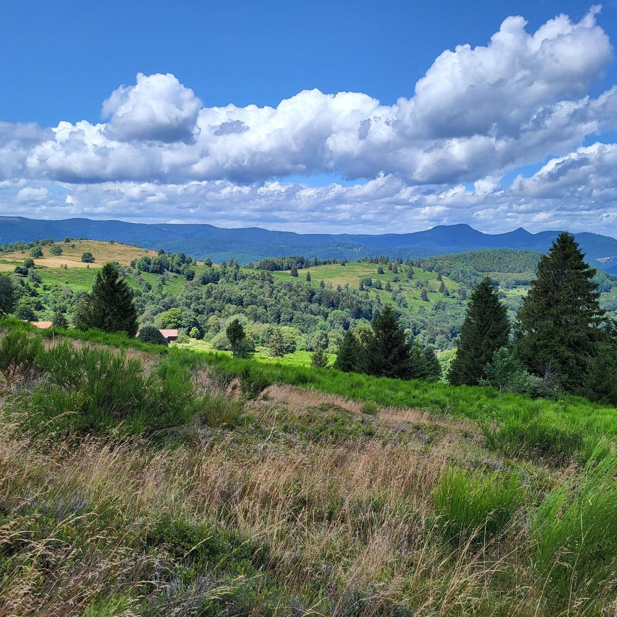
The Champ du Feu, at 1099 meters, is the highest mountain in the Bas-Rhin department in the Vosges in Alsace. It is located between the towns of Belmont and Le Hohwald and consists of a vast plateau with forests, meadows, and moorlands. The area is a popular nature and recreational area. In summer, it is mainly used for hiking, mountain biking, and nature observation. In winter, there is a small ski area with cross-country trails and simple slopes for winter sports. From the Champ du Feu, the La Serva stream originates, which later forms the Cascade de la Serva. In clear weather, the summit offers wide views over the Vosges, the Rhine plain, and even the Black Forest. The area is particularly known for its quiet nature, high moors, sunrises and starry skies, as well as well-marked hiking trails.
0
0


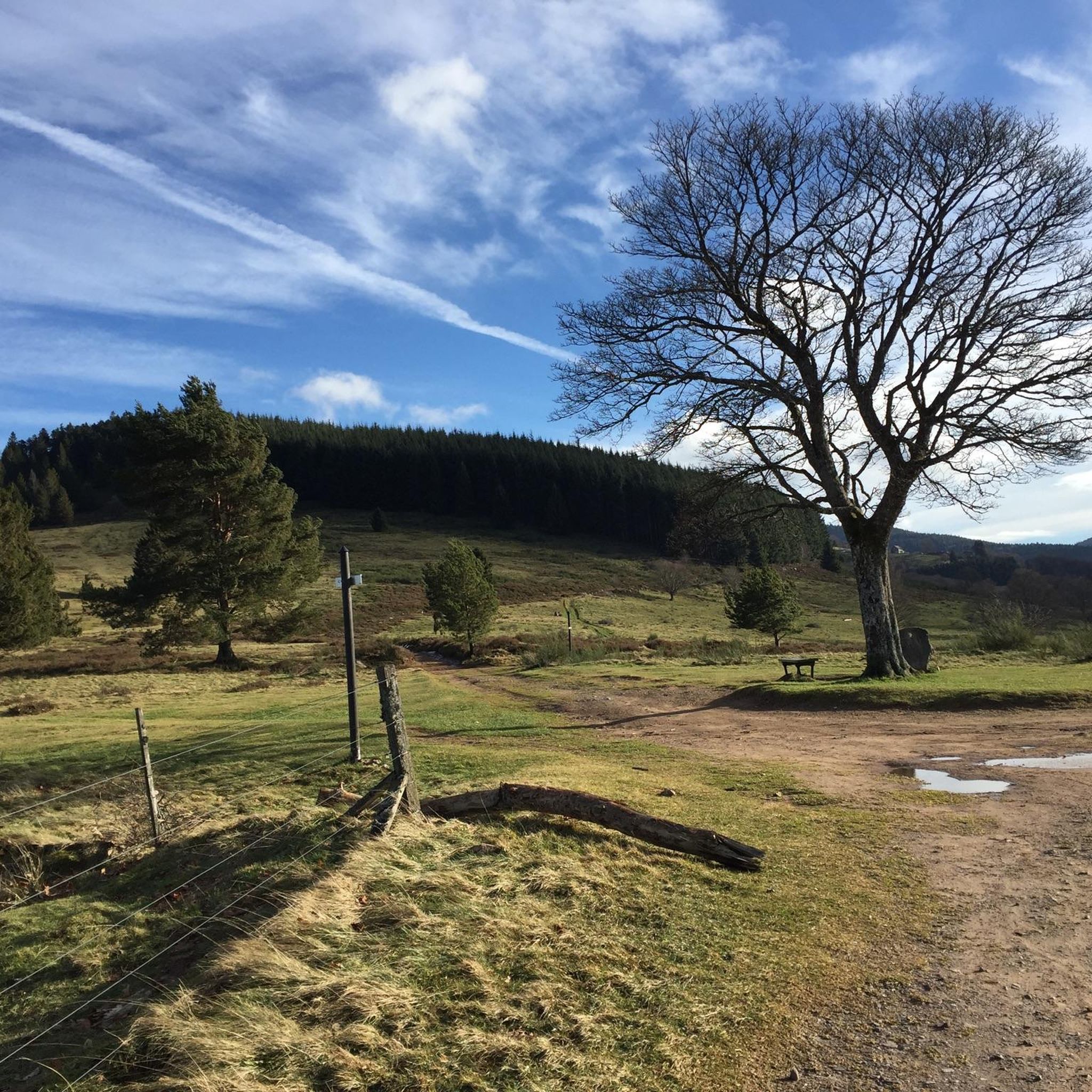
Magnificent pass to climb from different slopes (Breitenbach, Steige, Vallée de la Bruche, Andlau). It is also a crossing point towards the Champ du feu, the Hohwald, the Mont Ste Odile.
0
0

Frequently Asked Questions
How many touring cycling routes are available around Waldersbach?
There are over 130 touring cycling routes around Waldersbach, offering a wide variety of options for different skill levels and preferences. You'll find everything from easy rides to challenging mountain passes.
What kind of terrain can I expect when touring cycling in Waldersbach?
Waldersbach is situated in a mountain climate at 500 meters altitude, offering diverse terrain. You can expect winding roads and valleys shaped by the Chergoutte stream, as well as rolling hills and dense forests typical of the Vosges Mountains. The region is known for its picturesque landscapes, including the nearby Champ du Feu and the Salm plateau.
Are there any easy touring cycling routes suitable for beginners or families?
Yes, Waldersbach offers several easy touring cycling routes. For a gentler ride, consider the Rothau Protestant Temple – Picnic area by the water loop from Fouday, which is 17.2 km long and features minimal elevation gain, making it ideal for a relaxed outing.
What are some challenging touring cycling routes for experienced cyclists?
Experienced cyclists looking for a challenge will find plenty of difficult routes. The La Rothlach – Champ du Feu loop from Belmont is a demanding 47.6 km route with over 1100 meters of elevation gain. Another option is the Charbonnière Pass – Camp du Feu Nature Reserve loop from Belmont, a 42.0 km path that includes significant climbs and traverses a nature reserve.
What natural features or landmarks can I see along the touring cycling routes?
The routes around Waldersbach offer access to various natural and historical landmarks. You can cycle past the beautiful Hohwald waterfall, explore the area around the Champ du Feu, or discover historic sites like Salm Castle. Many routes also feature scenic mountain passes like the Charbonnière Pass and the Col de la Perheux.
When is the best time of year for touring cycling in Waldersbach?
The best seasons for touring cycling in Waldersbach are typically spring and autumn. During these times, temperatures are pleasant, and the natural scenery, with its green forests and changing foliage, is at its most vibrant. Summer can also be enjoyable, but spring and autumn offer ideal conditions for exploring the region's diverse landscapes.
Are there any circular touring cycling routes around Waldersbach?
Yes, many touring cycling routes around Waldersbach are designed as loops, allowing you to start and finish in the same location. Examples include the Serva Waterfall – Col de la Perheux loop from Belmont, which offers varied terrain, and the Rothau Protestant Temple – Picnic area by the water loop from Fouday for an easier circular option.
What do other touring cyclists enjoy most about cycling in Waldersbach?
The touring cycling routes in Waldersbach are highly rated by the komoot community, with an average score of 4.4 stars from over 160 reviews. Cyclists often praise the diverse landscapes, from challenging mountain passes to serene valley roads, and the well-developed cycling infrastructure that makes exploring the Vosges Mountains a rewarding experience.
Can I find routes that pass through charming villages or offer cultural experiences?
Absolutely. The region around Waldersbach is dotted with charming villages. While cycling, you can explore areas like the Salm plateau and the Rothaine valley, which often lead through picturesque settlements. For a unique cultural experience, consider visiting the Oberlin Museum in Waldersbach, which offers insights into local history.
Are there opportunities for gravel cycling in the Waldersbach area?
Yes, for adventurous cyclists, the Waldersbach area and the wider Vosges Mountains offer opportunities for gravel riding. You can find unpaved paths through forests and meadows, providing a different kind of touring experience away from the main roads.
What is the average length and difficulty of touring cycling routes in Waldersbach?
The routes vary significantly in length and difficulty. While there are 12 easy routes and 38 moderate routes, the majority (87) are classified as difficult. Distances range from shorter loops around 17-20 km to longer, more challenging rides exceeding 40 km, often with substantial elevation gains.
Are there any specific events for cyclists in the region?
Yes, during the summer months, the region hosts the 'Col l'Attitude' event. On Saturdays from June to September, several mountain passes are closed to motorized traffic, providing a unique and convivial experience for cyclists to enjoy the climbs without vehicle interference.
Most popular attractions around Waldersbach

Get inspired with the komoot mobile app


Explore more
Browse the best Cycling routes in other regions.
