The best road cycling routes around Fontienne
4.6
(110)
2,665
riders
60
rides
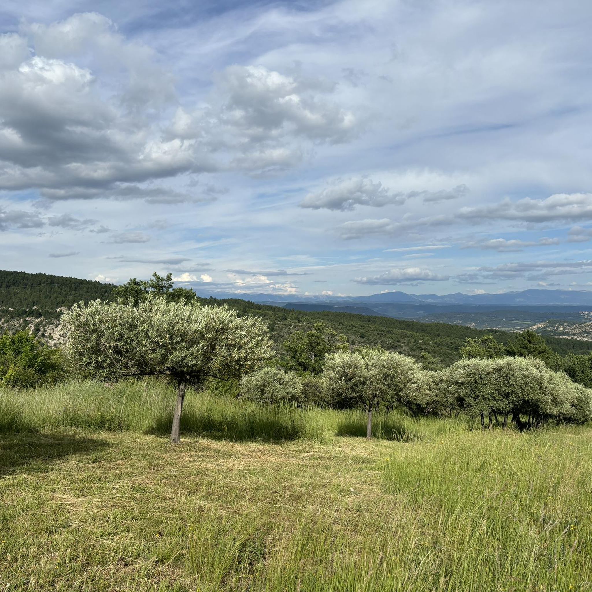
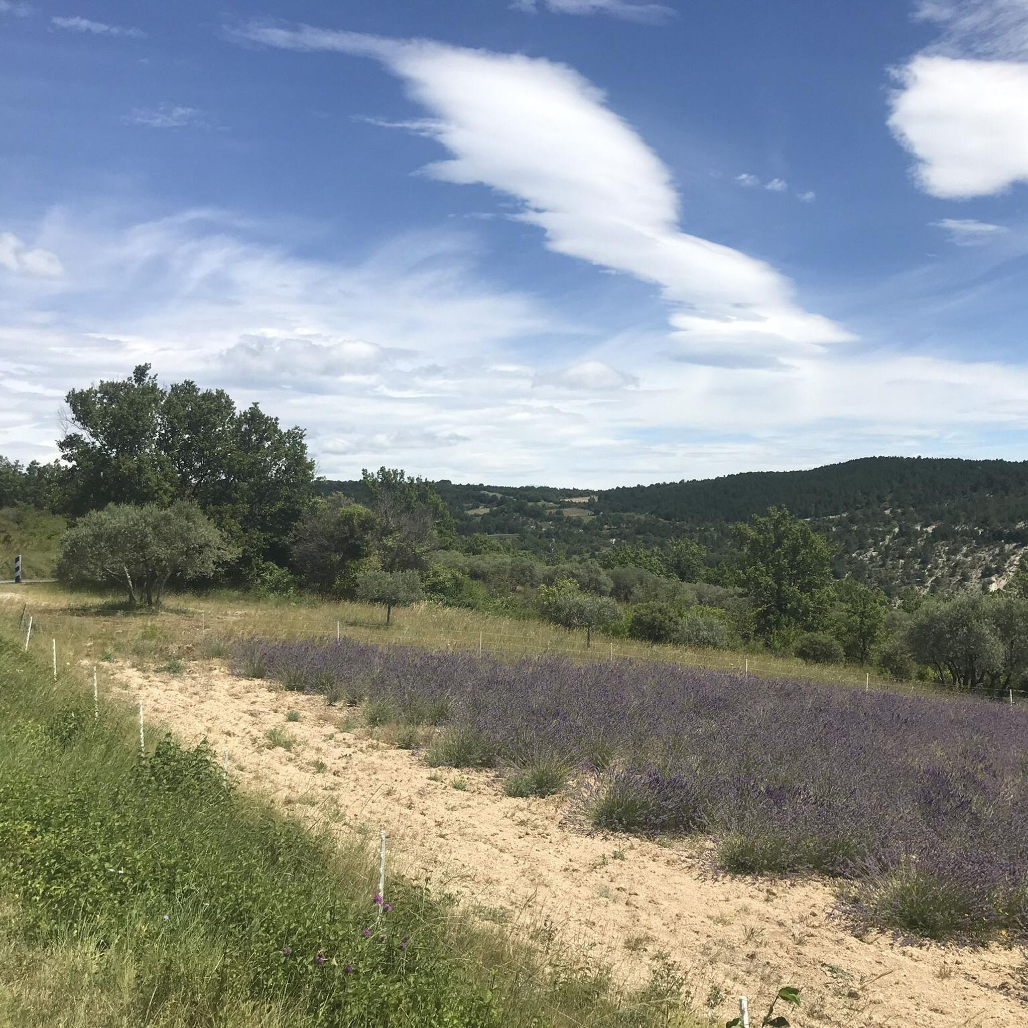
Road cycling routes around Fontienne traverse a landscape characterized by the foothills of the Montagne de Lure and the wider Pays de Forcalquier. This region features varied terrain, including significant climbs, forested areas, and open vistas. The routes often navigate through rolling hills and valleys, providing diverse road cycling experiences. Elevations can be substantial, with many routes featuring considerable ascent.
Best road cycling routes around Fontienne
- The most popular road cycling route is Montagne de Lure summit – Route With…
Last updated: July 13, 2026
4.5
(22)
855
riders
99.1km
05:14
1,890m
1,890m
Hard road ride. Very good fitness required. Mostly well-paved surfaces and easy to ride.
4.6
(14)
370
riders
61.2km
03:38
1,530m
1,530m
Hard road ride. Very good fitness required. Some segments of this route may be unpaved and difficult to ride.

Sign up for free
4.0
(5)
98
riders
83.6km
05:08
2,290m
2,290m
Hard road ride. Very good fitness required. Some segments of this route may be unpaved and difficult to ride.
5.0
(1)
97
riders
49.2km
02:23
690m
690m
Moderate road ride. Good fitness required. Mostly well-paved surfaces and easy to ride.
5.0
(3)
23
riders
77.5km
03:52
1,280m
1,280m
Hard road ride. Very good fitness required. Mostly well-paved surfaces and easy to ride.
Get access to more routes and recommendations from other explorers.
Sign up for free
Already have an account?
Our route recommendations are based on thousands of hikes, rides, and runs completed by other people on komoot.
Start today with a free account
Your next adventure awaits.
Login or Signup

Tips from the Community


best panoramic view, absolutely recommended!
0
0

Very nice road but watch out for trucks between Mardaric and the quarry entrance.
0
0

Beautiful village with a famous bookstore, narrow streets and some well-kept shops.
1
0

The Lure Mountains are a beautiful climb in the Vaucluse mountains. The climb is steady, covering 17.7 kilometers at an average gradient of 6%, all set against a stunning backdrop. The perfect blend of effort and contemplation.
2
0

The Ventoux's little brother. With a length of 17.7 kilometres and an ascent of 1054 vertical metres and a gradient of 5.9% on average, which implies a difficulty level of 688. The summit of the climb is located at 1746 metres above sea level. At the top the views are fabulous both towards Ventoux itself and towards the Alps. A long, very pleasant and fun climb that is worth the effort with percentages that remain around 5/6/7% and some peaks of up to 9.3%. The last 2 kilometres are very easy.
2
0

pretty little road located at the foot of the Lure mountain on the south side crossing small villages like Cruis to Saint Étienne les Orgues.
0
0
Frequently Asked Questions
How many road cycling routes are available around Fontienne?
There are over 60 road cycling routes around Fontienne, offering a wide range of options for different skill levels. The region is known for its varied terrain, including significant climbs and scenic passes.
What are the typical difficulty levels for road cycling routes in Fontienne?
The routes around Fontienne cater to various abilities. You'll find a good mix of challenges, with about half of the routes being difficult (28 routes) and a significant number being moderate (29 routes). There are also a few easier options (5 routes) for those looking for a less strenuous ride.
Are there any family-friendly road cycling routes in the Fontienne area?
While many routes in Fontienne feature significant elevation gain, there are a few easier options available. For a more relaxed experience, look for routes with lower elevation profiles, which can be more suitable for families or beginners.
What kind of landscapes and views can I expect on road cycling routes around Fontienne?
Road cycling around Fontienne offers diverse landscapes, from the foothills of the Montagne de Lure to the wider Pays de Forcalquier. You'll encounter rolling hills, forested areas, and open vistas. Many routes feature mountainous ascents leading to panoramic views, such as those of the Luberon.
What are some notable landmarks or attractions I might see while cycling near Fontienne?
The region offers several interesting sights. You can explore the charming town of Forcalquier, or discover natural wonders like The Mourres Rocks and Les Rochers des Mourres. Some routes also pass through the Parco naturale Regionale del Luberon, offering scenic views.
What do other cyclists say about the road cycling experience in Fontienne?
The komoot community highly rates the road cycling in Fontienne, with an average score of 4.4 stars from over 120 reviews. Cyclists often praise the challenging mountainous ascents, scenic passes, and the rewarding views of the Luberon.
Are there any challenging climbs for experienced road cyclists in Fontienne?
Absolutely. The Fontienne area, particularly around the Montagne de Lure, is known for its significant climbs. Routes like the Montagne de Lure Pass – Montagne de Lure Viewpoint loop from Saint-Étienne-les-Orgues feature over 2,300 meters of elevation gain, providing a substantial challenge for experienced riders.
What is a good moderate road cycling route in the area?
For a moderate challenge, consider the Col de la Mort d'Imbert – Forcalquier loop from Forcalquier. This route covers about 46 kilometers with around 650 meters of elevation gain, offering a balanced ride through the landscape.
What is the best time of year for road cycling in Fontienne?
Given the region's characteristics, spring and autumn generally offer the most pleasant conditions for road cycling in Fontienne, with milder temperatures and beautiful scenery. Summer can be hot, especially on exposed climbs, while winter may bring colder weather and potential for snow at higher elevations like the Montagne de Lure.
Are there any circular road cycling routes around Fontienne?
Yes, many of the road cycling routes in the Fontienne area are designed as loops, allowing you to start and finish in the same location. Examples include the Montagne de Lure summit – Route With a View of the Luberon loop from Revest-Saint-Martin and the Montagne de Lure Viewpoint – Montagne de Lure Pass loop from Forcalquier.
Can I find routes with panoramic viewpoints in Fontienne?
Absolutely. The mountainous terrain around Fontienne and the Montagne de Lure offers numerous opportunities for stunning panoramic views. Routes often lead to viewpoints overlooking the Luberon and the surrounding Pays de Forcalquier, providing rewarding vistas after your climbs.
Most popular attractions around Fontienne

Get inspired with the komoot mobile app


Explore more
Browse the best Road cycling routes in other regions.
