Saint-Clément-Sur-Durance
Saint-Clément-Sur-Durance
The best cycling routes around Saint-Clément-Sur-Durance
4.4
(506)
10,853
riders
196
rides
Touring cycling routes around Saint-Clément-Sur-Durance navigate the varied landscapes of the Hautes-Alpes, following the Durance River through alpine slopes and perched roads. The area is characterized by its unique topography of valleys, plateaus, and mountains, with elevations ranging from river valleys to peaks over 2000 meters. Geological formations, including significant alpine folds, contribute to the diverse terrain, offering a mix of challenging ascents and scenic river-side paths.
Best touring cycling routes around Saint-Clément-Sur-Durance
- The most popular touring cycling route is…
Last updated: July 1, 2026
4.6
(8)
23
riders
Easy bike ride. Great for any fitness level. Mostly paved surfaces. Suitable for all skill levels.
4.9
(13)
729
riders
85.1km
06:45
2,420m
2,420m
Hard bike ride. Very good fitness required. Mostly paved surfaces. Suitable for all skill levels.

Sign up for free
4.5
(61)
672
riders
Hard bike ride. Very good fitness required. Mostly paved surfaces. Suitable for all skill levels.
5.0
(9)
485
riders
67.4km
05:02
1,600m
1,600m
Hard bike ride. Very good fitness required. Mostly paved surfaces. Suitable for all skill levels.
4.6
(5)
355
riders
92.1km
06:57
2,270m
2,270m
Hard bike ride. Very good fitness required. Mostly paved surfaces. Suitable for all skill levels.
Get access to more routes and recommendations from other explorers.
Sign up for free
Already have an account?
Our route recommendations are based on thousands of hikes, rides, and runs completed by other people on komoot.
Start today with a free account
Your next adventure awaits.
Login or Signup
Popular around Saint-Clément-Sur-Durance

Tips from the Community

From here you can enjoy a breathtaking view, both towards Italy and France. Unfortunately, I caught it during roadwork and resurfacing, but I'd be curious to see it once it's finished.
0
0

Colle dell'Agnello (2,744 meters above sea level - Col Agnel in French; Còl dl'Agnél in Piedmontese) is an Alpine pass in the Cottian Alps (Monviso Alps), as well as the second-highest road pass in Italy and the third-highest in Europe [N 2], preceded only by the Colle dell'Iseran [N 3] in the French Alps and the Stelvio Pass in the Ortler Alps. Located southwest of Monviso, between Pan di Zucchero and Punta dell'Alp, it connects Italy to France from the Piedmontese municipality of Pontechianale to the French municipality of Molines-en-Queyras in the Hautes-Alpes department [N 4]. It was inaugurated in 1973 by expanding a pre-existing dirt military road; It has been a transit point for several stages of the Giro d'Italia and the Tour de France and a popular destination for summer camps for amateur astronomers, offering one of the observation sites with the darkest, most pristine sky and accessible by normal vehicles.
0
0

Just before the summit is this beautiful refuge.
16
0

It reaches above 2000 m. Views are wonderful.
20
0

Small mountain village at the foot of the Colle dell'Ambe.
0
0

Excellent alternative to avoid the departmental road.
1
0

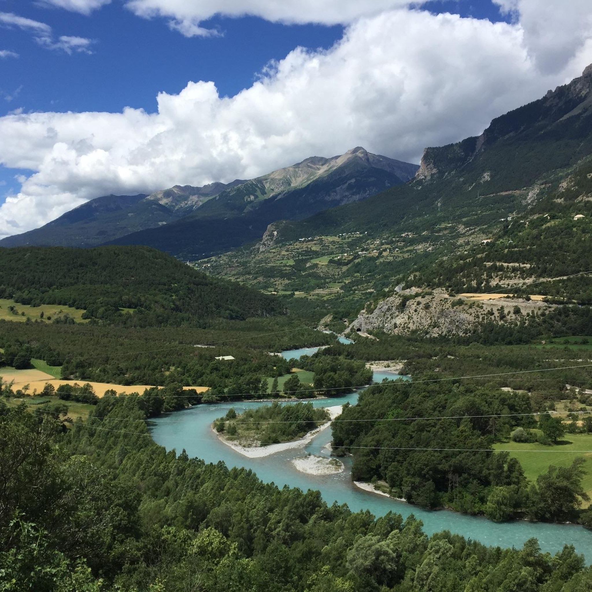
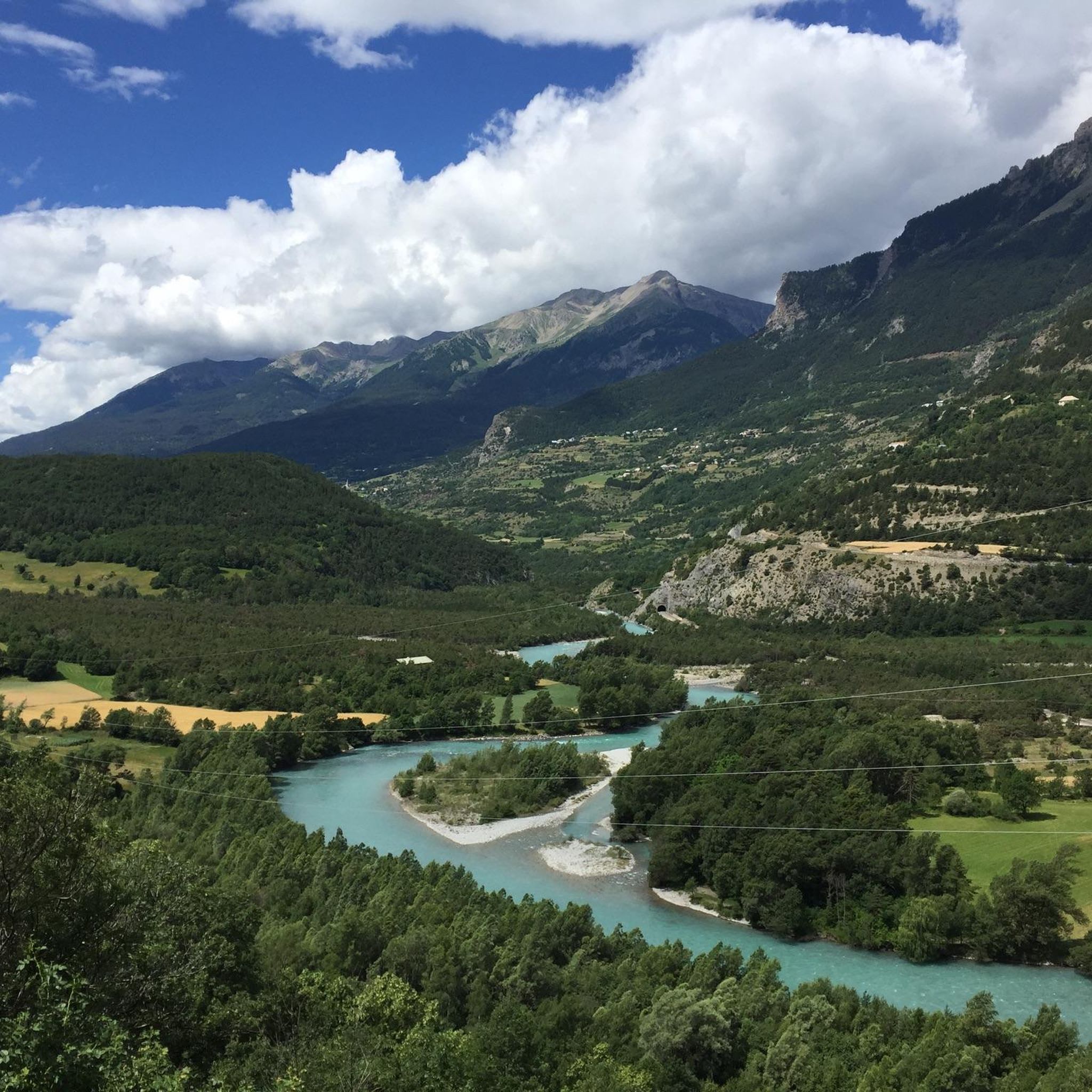
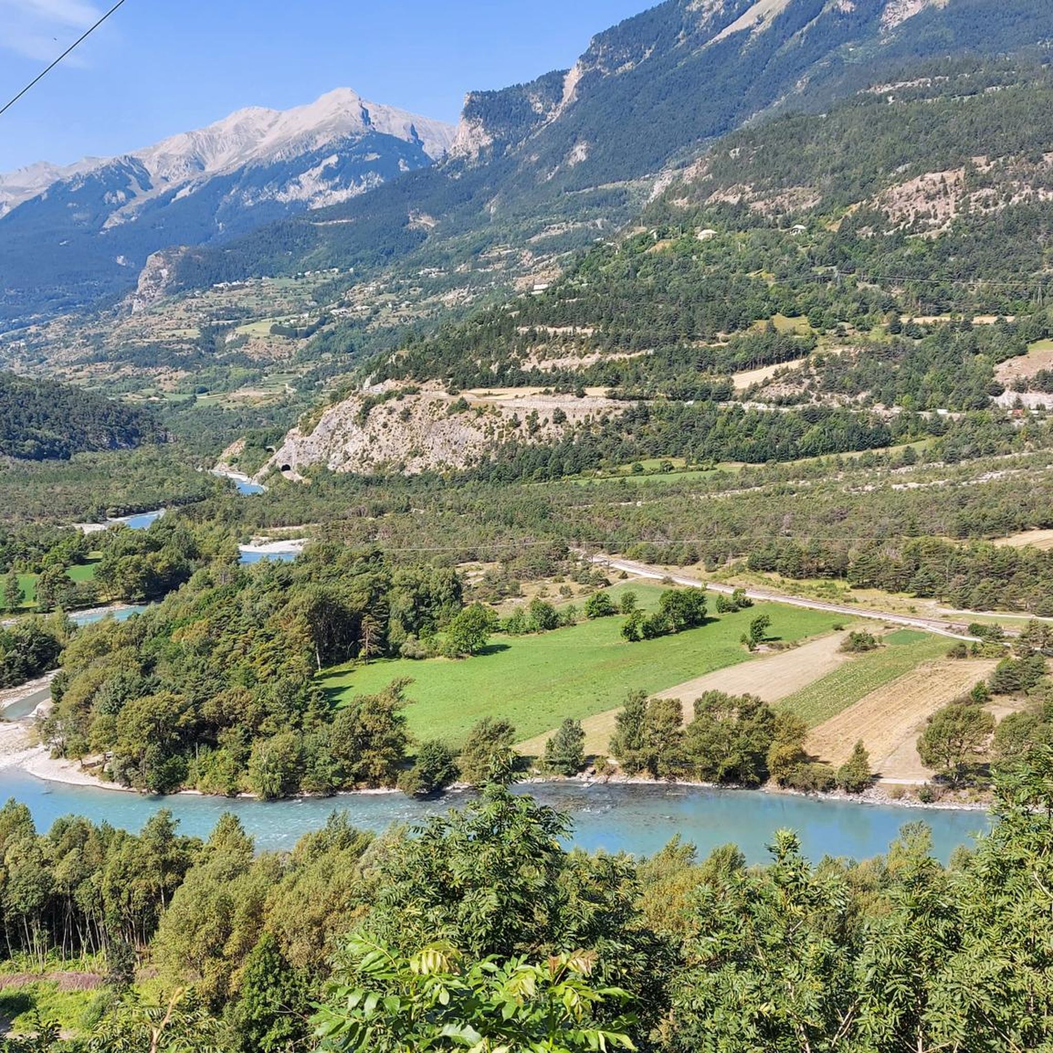
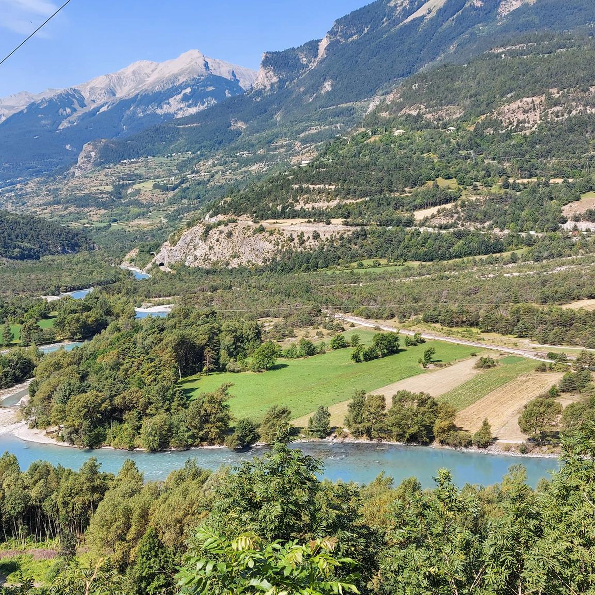
The Durance balconies are spectacular natural sites located along the Durance valley in the French Alps. Offering panoramic views of the surrounding mountains, these balconies are popular for hiking, climbing and contemplating the wild and unspoiled nature.
2
0
Frequently Asked Questions
How many touring cycling routes are available around Saint-Clément-Sur-Durance?
There are over 200 touring cycling routes in the Saint-Clément-Sur-Durance area. These routes navigate the varied landscapes of the Hautes-Alpes, offering a mix of alpine slopes, perched roads, and scenic river-side paths along the Durance River.
What is the overall difficulty level of touring cycling routes in the area?
The routes around Saint-Clément-Sur-Durance cater to a wide range of abilities. While the majority, about 140 routes, are classified as difficult, there are also 48 moderate routes and 14 easy options available for touring cyclists.
What do other touring cyclists say about the routes in Saint-Clément-Sur-Durance?
The touring cycling routes in Saint-Clément-Sur-Durance are highly rated by the komoot community, with an average score of 4.4 stars from over 450 reviews. More than 11,000 touring cyclists have used komoot to explore the area's varied terrain, often praising the unique topography of valleys, plateaus, and mountains.
Are there family-friendly touring cycling routes in Saint-Clément-Sur-Durance?
Yes, there are family-friendly options available. For an easy and relatively short loop, consider the Mont-Dauphin and hot springs of the plan de Phazy loop. This 9.6-mile (15.5 km) trail is near the Queyras regional natural park and takes about an hour to complete, making it suitable for families.
Can I find routes that follow the Durance River?
Absolutely. The Durance River is central to the region's cycling identity. Many routes, including sections of the magnificent 170-kilometer 'La Durance à vélo' alpine cycling route, follow the river, offering picturesque scenery and opportunities to discover charming villages and natural features. For more information on the larger route, you can visit France Vélo Tourisme.
Are there touring cycling routes that offer scenic viewpoints?
Yes, the mountainous terrain around Saint-Clément-Sur-Durance provides numerous opportunities for scenic views. The View of Embrun – The Balconies of the Durance loop is a popular choice, leading through the stunning Balconies of the Durance. You can also find breathtaking vistas from the Sarrasine Tower, locally known as the Tour Lombarde, which offers magnificent views of the 'pli couché' geological formation.
What natural attractions can I see along the touring cycling routes?
The region is rich in natural beauty. Along your rides, you might encounter the dramatic Gorges du Guil, the unique Parcours des Fées, or discover beautiful waterfalls like Cascade de la Pisse and Byasse Waterfall. The Durance River itself offers a rich tapestry of flora and diverse landscapes.
Are there any circular touring cycling routes available?
Yes, many routes in the area are designed as loops. An example of a challenging circular route is the Guil Gorges – Footbridge over the Guil loop from Montdauphin-Guillestre, which is 52.9 miles (85.2 km) long and explores the dramatic Guil Gorges.
What historical landmarks can be explored near the cycling routes?
Beyond the natural landscapes, you can visit the 13th-century Sarrasine Tower in Saint-Clément-Sur-Durance, offering historical insights and views. A short distance away, the Fortress of Mont-Dauphin, a UNESCO-classified Vauban fortification, provides a fascinating glimpse into military architecture and history.
Are there any touring cycling routes that pass by lakes?
Yes, the region features routes that offer views of stunning lakes. The 'La Durance à vélo' route, for instance, passes above the dramatic Serre-Ponçon Lake via the iconic Route des Puys. For a challenging loop that includes a lake, consider the Lac Napoléon – Col de Vars loop from Montdauphin-Guillestre.
What is the best time of year for touring cycling in Saint-Clément-Sur-Durance?
The diverse landscapes, from alpine slopes to river valleys, make spring through autumn ideal for touring cycling. The weather is generally pleasant, allowing you to fully enjoy the varied terrain and natural beauty of the Durance River valley and surrounding mountains.
Are there options for longer, more challenging touring cycling adventures?
Absolutely. For experienced touring cyclists seeking a significant challenge, routes like the Footbridge over the Guil – Lac Napoléon loop from Siguret offer substantial distances and elevation gains. This route covers 66.5 miles (107 km) with over 1500 meters of ascent, providing a demanding yet rewarding experience.
Most popular routes around Saint-Clément-Sur-Durance
Most popular attractions around Saint-Clément-Sur-Durance

Get inspired with the komoot mobile app


Explore more
Browse the best Cycling routes in other regions.
