The best MTB trails around Zilia
4.2
(177)
1,048
riders
35
rides
Mountain bike trails around Zilia are characterized by winding paths through a varied landscape, often offering views of nearby towns and historical features. The region features routes that traverse both open terrain and areas with elevation changes, indicative of a hilly or mountainous environment. Mountain bikers can expect a mix of challenging climbs and rewarding descents, with trails connecting different points of interest.
Best mountain bike trails around Zilia
- The most popular mountain bike trail is View of Calenzana –…
Last updated: June 28, 2026
4.4
(17)
115
riders
53.1km
03:46
1,000m
1,000m
Hard mountain bike ride. Very good fitness required. Suitable for all skill levels.
4.5
(6)
42
riders
35.5km
02:17
420m
420m
Moderate mountain bike ride. Good fitness required. Suitable for all skill levels.

Sign up for free
5.0
(2)
25
riders
46.3km
03:43
1,190m
1,200m
Hard mountain bike ride. Very good fitness required. Suitable for all skill levels.
5.0
(1)
7
riders
39.7km
03:13
710m
700m
Moderate mountain bike ride. Good fitness required. Advanced riding skills necessary.
5
riders
19.0km
01:23
270m
270m
Easy mountain bike ride. Great for any fitness level. Suitable for all skill levels.
Get access to more routes and recommendations from other explorers.
Sign up for free
Already have an account?
Our route recommendations are based on thousands of hikes, rides, and runs completed by other people on komoot.
Start today with a free account
Your next adventure awaits.
Login or Signup
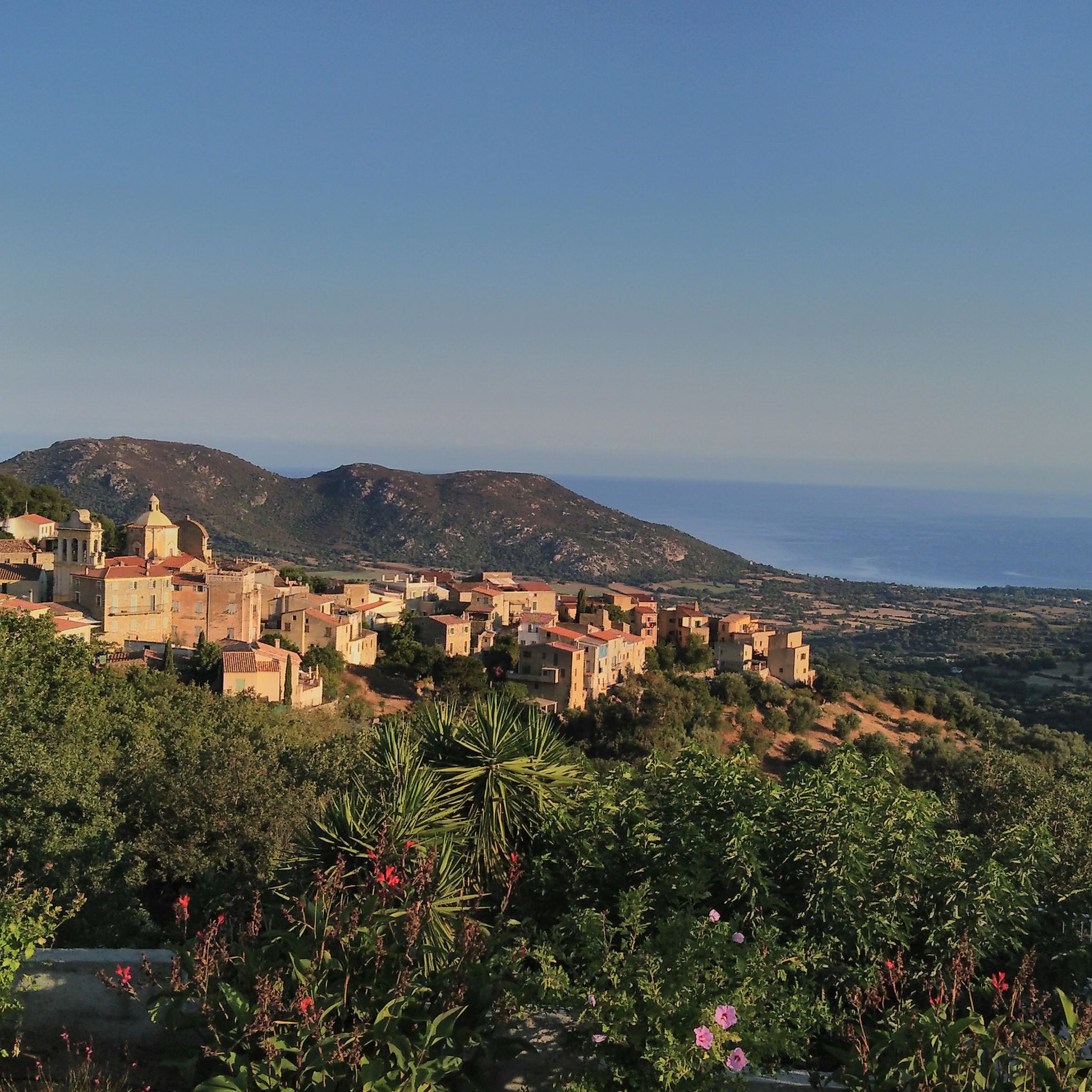
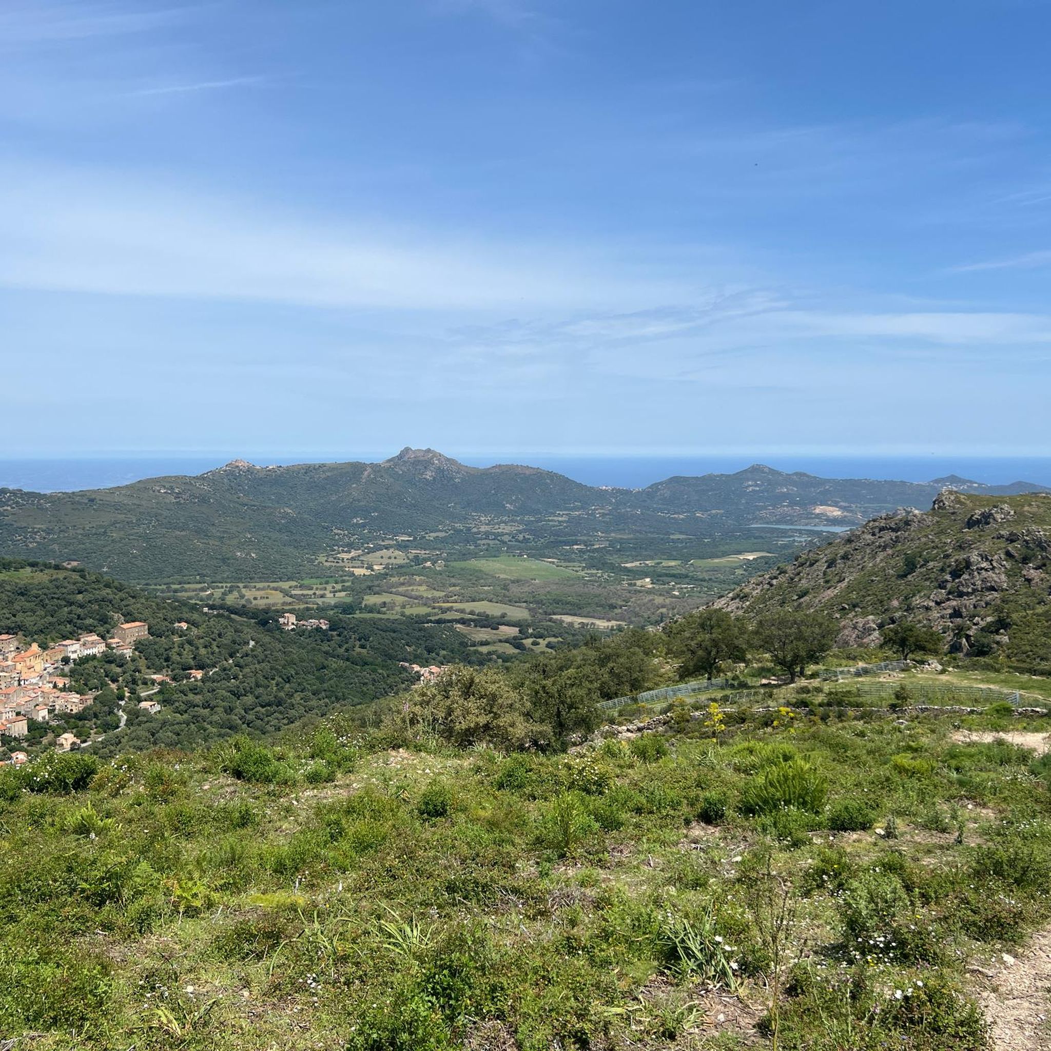
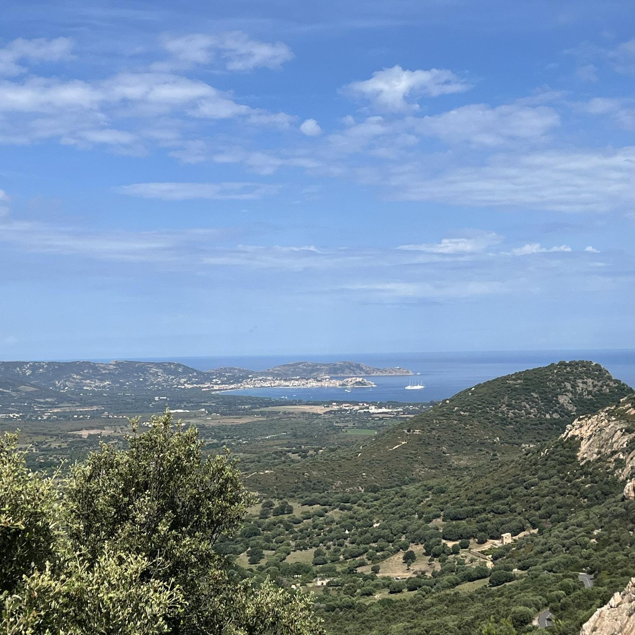
Tips from the Community

A popular meeting place for road cyclists and mountain bikers. Here, you can fill your water bottle with genuine Zilia water—slightly chilled, too. Last year, I spoke to a local about the water quality of the fountain. He said it had been tested and was of drinking quality. This was a welcome stop on my leg of the route from Calvi to San Antonino. Further up in the town of Zilia, there's a very small corner shop with a small but very good selection of fruit.
1
0

Start of a very nice walk
0
0

very pretty here, very pretty
0
0

The municipalities of Lunghignano and Montemaggiore merged in 1972 to form the municipality of Saint-Rainier-de-Balagne. Saint-Rainier-de-Balagne was merged with Cassano on 1 January 1973 to form the municipality of Montegrosso, named after the Monte Grosso mountain range.
1
0
Montegrosso consists of the villages of Montemaggiore/Montemaiò as the main town (381 m), Cassano/Cassani (300 m) and Lunghignano/Lunghignani (340 m). The municipality is located at about 400 meters above sea level and borders Lavatoggio to the north, Cateri and Avapessa to the northeast, Muro to the east, Zilia to the southeast, Calenzana to the southwest, Calvi to the west and Lumio to the northwest.
1
0
Montegrosso (Corsican: Montegrossu) is a municipality on the French island of Corsica. It belongs to the region of Corsica, the department of Haute-Corse, the arrondissement of Calvi and the canton of Calvi. Depending on the district, the residents call themselves Montemaggiorais, Lunghignanais, Cassanais, Montemaiuracci, Lunghignaninchi or Cassaninchi.
1
0

Very nice little village with wonderful views of Calvi and Algajola.
1
0
I can only confirm... beautiful Balagne mountain village with a wonderful view of the bay of Calvi. The back road described by "DerImmel" is just fun to cycle back to Calvi. There was hardly any traffic up here (end of May). I would also prefer this road to the airport shuttle.
1
0
Frequently Asked Questions
How many mountain bike trails are available around Zilia?
There are over 30 mountain bike trails around Zilia listed on komoot. These routes cater to various skill levels, with 6 easy, 15 moderate, and 11 difficult options, ensuring there's something for every rider.
What kind of terrain can I expect on mountain bike trails in Zilia?
Mountain bike trails around Zilia are characterized by winding serpentine paths through a varied landscape. You can expect a mix of challenging climbs and rewarding descents, often with significant elevation changes as trails traverse hilly or mountainous environments. Many routes offer views of nearby towns and historical features, and some include descents from mountain passes.
Are there any easy mountain bike trails suitable for beginners in Zilia?
Yes, Zilia offers several easy mountain bike trails perfect for beginners. One such route is the Serpentine – Calenzana loop from Calenzana. This 11.8-mile (18.9 km) trail has an elevation gain of around 270 meters and is a great way to experience the region's terrain without excessive difficulty.
What are some challenging mountain bike trails for advanced riders in Zilia?
For advanced riders seeking a challenge, the Speloncato – Descent of Col de Battaglia loop from Cateri is a demanding option. This difficult 28.6-mile (46.1 km) trail features significant descents from mountain passes and an elevation gain of nearly 1,200 meters, offering a rigorous and rewarding experience.
Are there mountain bike trails in Zilia that form a loop?
Yes, many mountain bike trails in Zilia are designed as loops, allowing you to start and finish at the same point. Examples include the View of Calenzana – Serpentine loop from Calenzana and the Ruins by the Road to Calenzana – Calenzana loop from Calvi – Sainte-Catherine Airport.
What can I see along the mountain bike trails in Zilia?
Many trails offer scenic views and pass by interesting landmarks. You might encounter historical sites like the Abandoned Village of Occi or enjoy panoramic vistas such as the Panoramic view of Calvi and the Revellata lighthouse. Natural features like the Bonifatu Forest and Natural Pools and Rock Slides in Parc Naturel Régional de Corse are also accessible near some routes.
What do other mountain bikers enjoy most about the trails in Zilia?
The mountain bike trails in Zilia are highly rated by the komoot community, with an average score of 4.2 stars from over 230 reviews. Riders frequently praise the varied terrain, the winding serpentine paths, and the opportunities to explore historical areas and enjoy significant descents from mountain passes.
Is Zilia a good destination for family-friendly mountain biking?
While Zilia offers a range of difficulties, including easy trails, it's best to assess the specific route's elevation changes and technical sections for younger or less experienced family members. Routes like the Serpentine – Calenzana loop from Calenzana could be suitable for families looking for a less strenuous ride.
Are there scenic viewpoints along the mountain bike trails in Zilia?
Absolutely. The region is known for its stunning vistas. Many trails offer breathtaking views, including the Panoramic view of Calvi and the Revellata lighthouse and the Panorama of the Bonifatu valley, providing excellent photo opportunities and rest stops.
What is the best time of year for mountain biking in Zilia?
Given Zilia's Mediterranean climate, spring (April to June) and autumn (September to October) are generally the best times for mountain biking. During these seasons, the weather is typically mild and pleasant, avoiding the intense heat of summer and the cooler, potentially wetter conditions of winter. Always check local weather forecasts before heading out.
Are mountain bike trails in Zilia dog-friendly?
While many outdoor areas in Corsica are generally welcoming to dogs, specific regulations can vary, especially within protected natural areas or private lands. It's always advisable to keep dogs on a leash and ensure they are well-behaved. Check individual trail descriptions or local signage for any specific restrictions regarding dogs.
Where can I find parking for mountain bike trails in Zilia?
Parking availability often depends on the specific trailhead. For routes starting from towns like Calenzana or Cateri, you can typically find public parking areas. For more remote trailheads, roadside parking might be available. It's recommended to check the starting point of your chosen route on komoot for more specific parking information.
What should I bring for a mountain bike ride in Zilia?
For mountain biking in Zilia, essential items include a well-maintained mountain bike, a helmet, appropriate cycling attire, sufficient water, snacks, a repair kit (including spare tube, pump, and multi-tool), a first-aid kit, and a fully charged phone with the komoot app for navigation. Sun protection and layers of clothing are also recommended due to varied terrain and potential weather changes.
Most popular attractions around Zilia

Get inspired with the komoot mobile app


Explore more
Browse the best MTB trails in other regions.
