The best walks and hikes around Zilia
4.5
(4644)
25,151
hikers
208
hikes
Hiking around Zilia offers a diverse landscape for outdoor exploration. The region is characterized by its hilly terrain, featuring valleys, forests, and elevated viewpoints. Trails often traverse through natural areas, providing varied elevation changes. The area provides opportunities for both gentle walks and more challenging ascents.
Best hiking trails around Zilia
- The most popular hiking route is View of Calenzana – Superb view over two valleys loop from Calenzana, a 5.1 miles (8.2 km) trail that takes 3 hours…
Last updated: June 28, 2026
4.6
(26)
104
hikers
6.23km
02:58
450m
450m
Moderate hike. Good fitness required. Mostly accessible paths. Sure-footedness required.
4.7
(19)
70
hikers
5.37km
02:23
370m
370m
Hard hike. Good fitness required. Sure-footedness, sturdy shoes and alpine experience required.

Sign up for free
4.8
(13)
45
hikers
5.50km
01:48
260m
260m
Easy hike. Great for any fitness level. Easily-accessible paths. Suitable for all skill levels.
4.7
(21)
77
hikers
4.79km
01:27
160m
160m
Easy hike. Great for any fitness level. Easily-accessible paths. Suitable for all skill levels.
4.4
(5)
63
hikers
15.0km
08:36
1,470m
1,470m
Hard hike. Very good fitness required. Sure-footedness, sturdy shoes and alpine experience required.
Get access to more routes and recommendations from other explorers.
Sign up for free
Already have an account?
Our route recommendations are based on thousands of hikes, rides, and runs completed by other people on komoot.
Start today with a free account
Your next adventure awaits.
Login or Signup
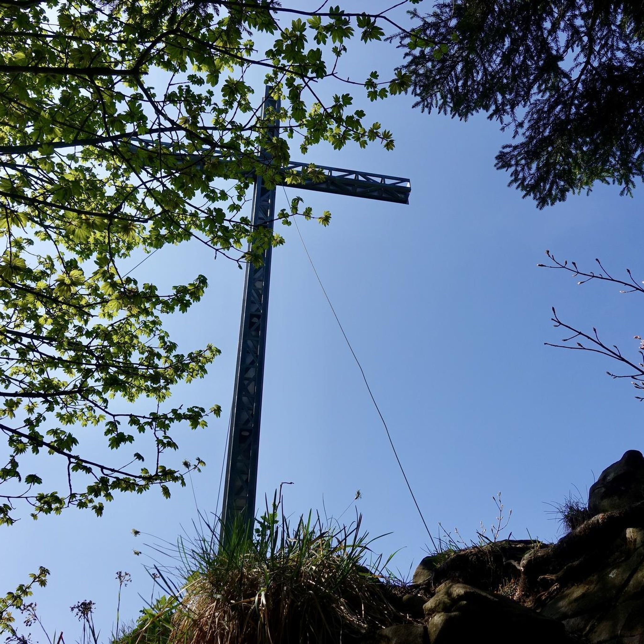
Tips from the Community

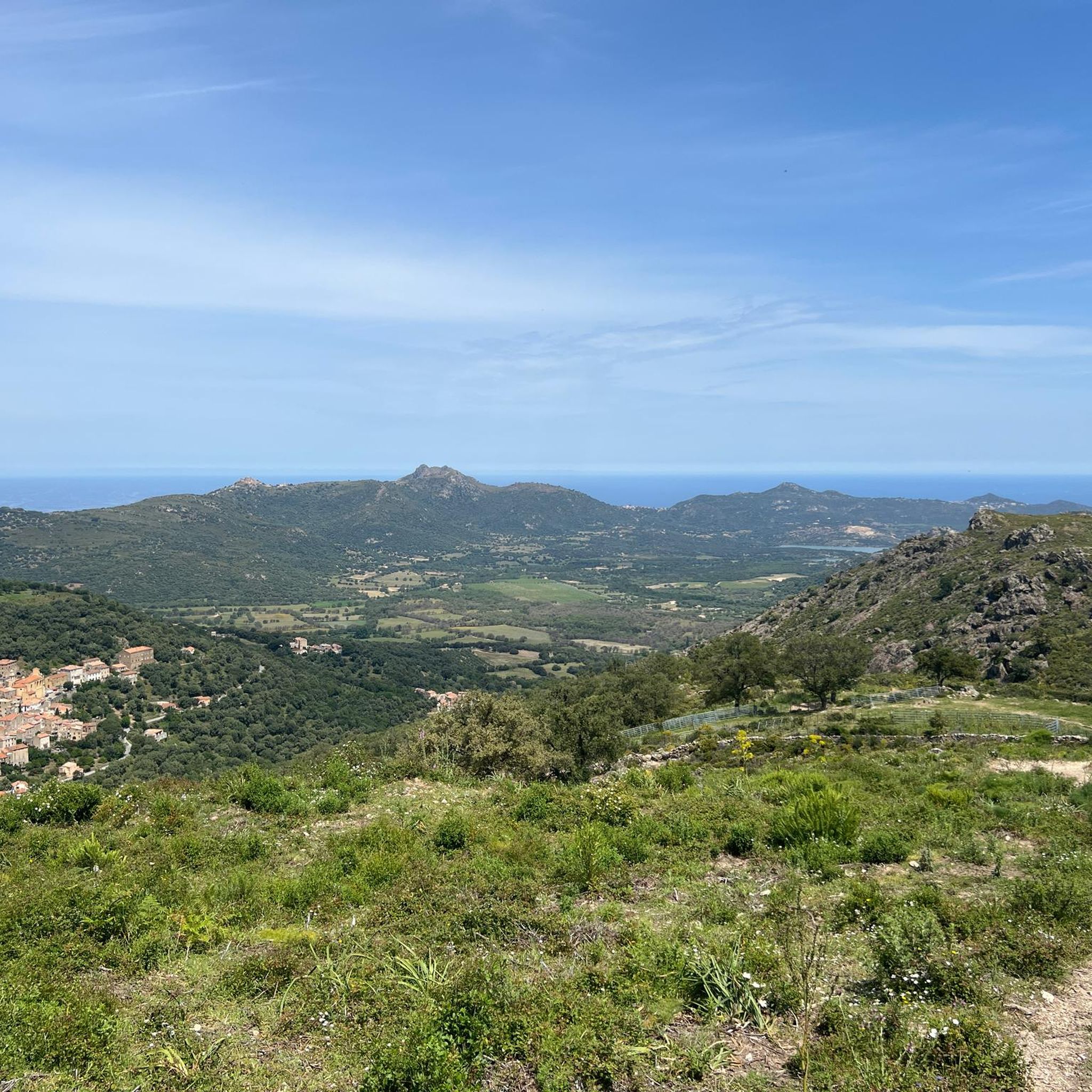
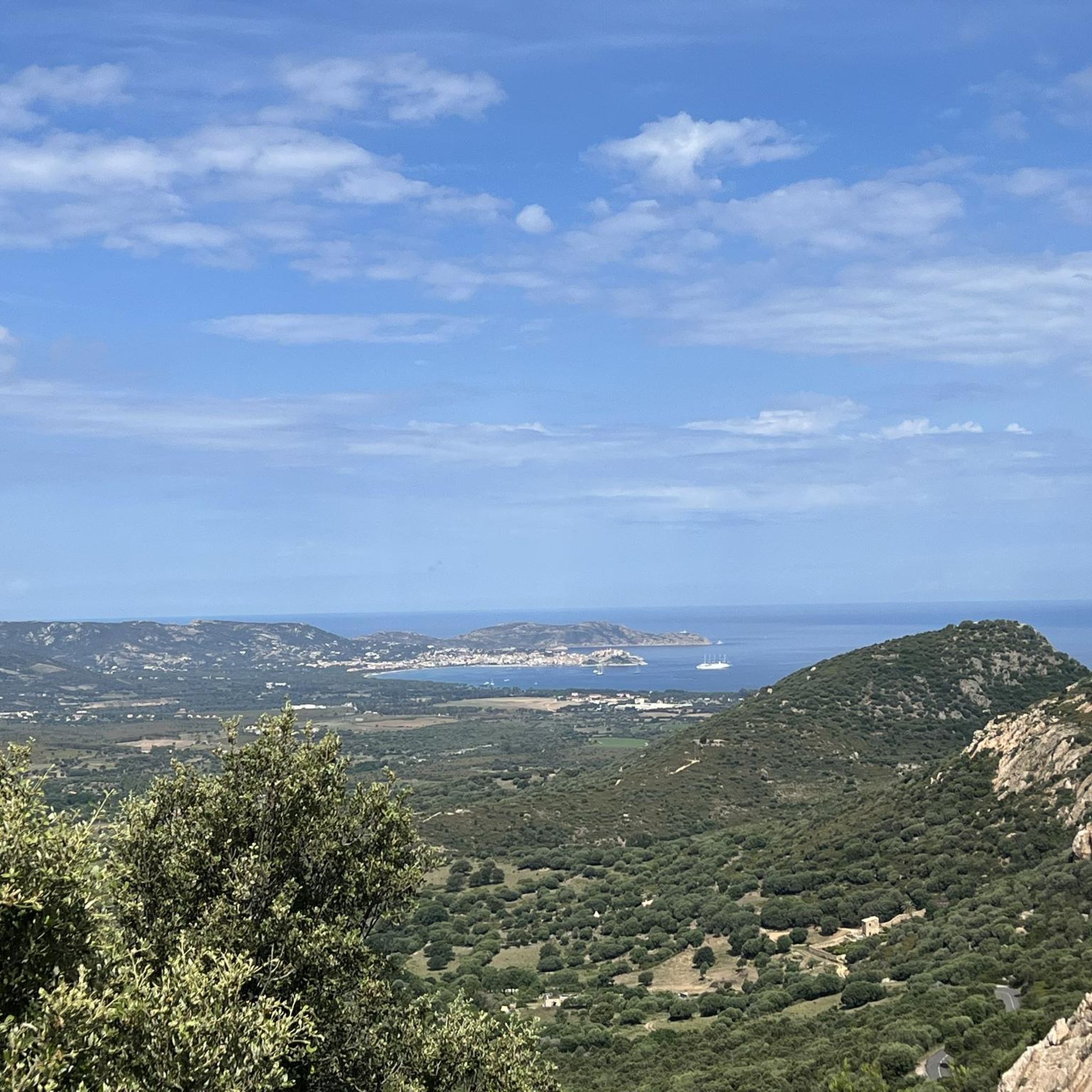
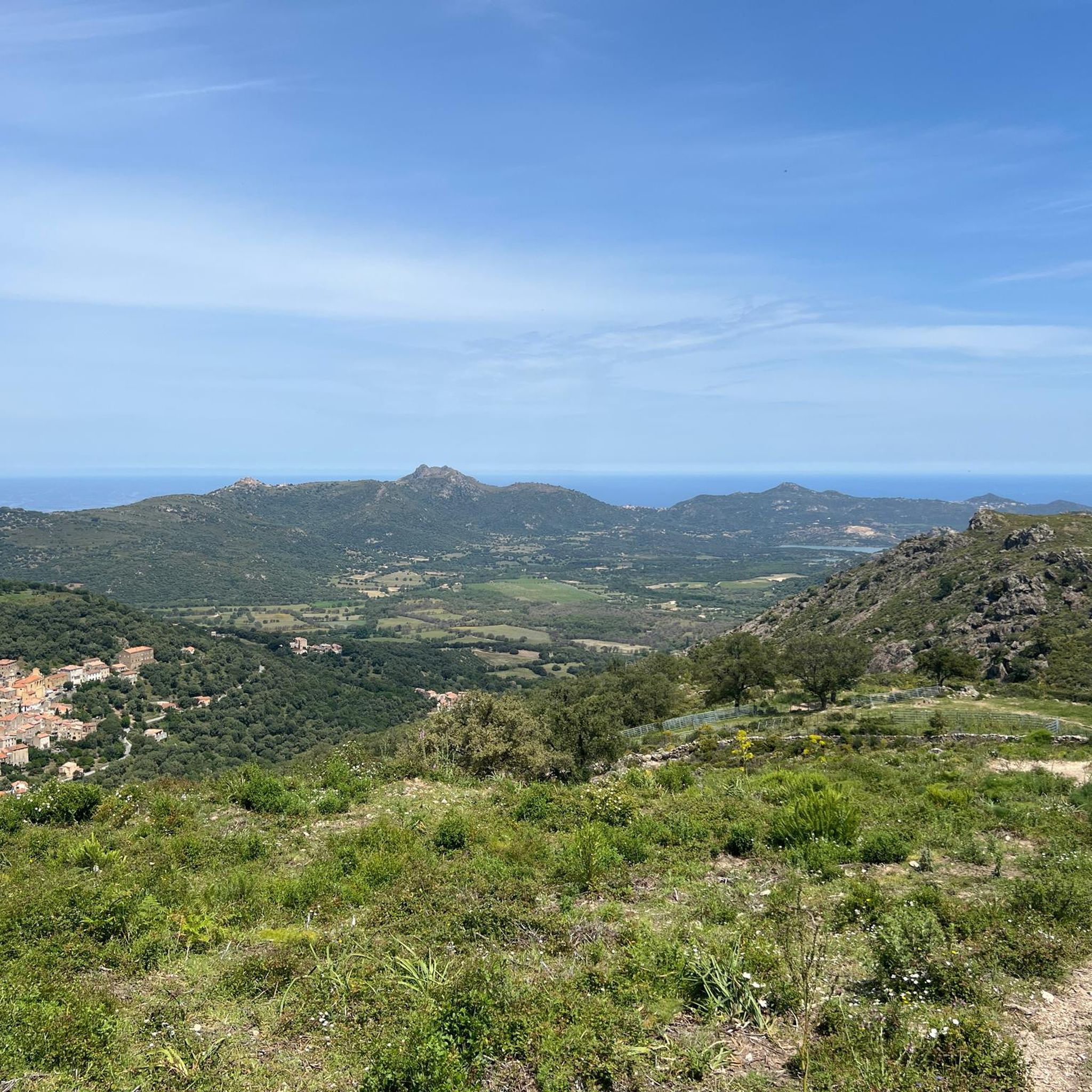
Immediately after the first climb you will be treated to a fantastic panorama. Views all the way to the sea.
0
0
A great rock formation that can clearly be attributed to an elephant.
0
0

A funny rock formation that resembles an elephant's head.
0
0
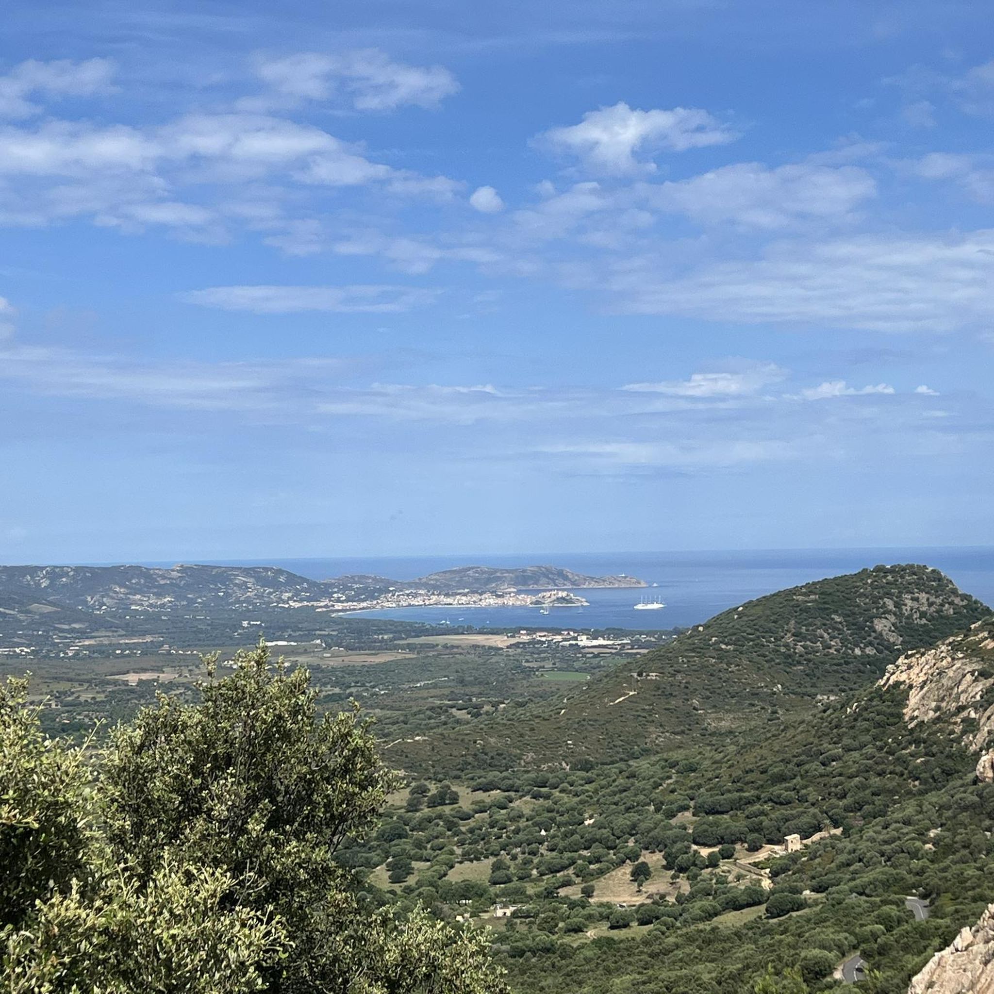
Here you have a great view of the coast and the villages and towns in the area. A good place for a rest
1
0

Very nice hike with beautiful views Long pants preferably, there are brambles.
1
0

Summit of Monte Grosso with a view of the entire Balagne
0
0

Charred tree stumps can also be seen from the Bocca u Corsu, from which you can see Calenzana and whose crest is covered with thistles. The slope on either side burned down a few years ago; only a small strip of trees remains.
1
0
Frequently Asked Questions
How many hiking trails are available around Zilia?
There are over 200 hiking routes available around Zilia, offering a wide range of options for exploration. The komoot community has extensively explored the area, contributing to a rich selection of trails.
What is the typical terrain like for hiking near Zilia?
The terrain around Zilia is characterized by its hilly landscape, featuring diverse elements such as valleys, dense forests, and elevated viewpoints. Hikers can expect varied elevation changes, from gentle slopes to more challenging ascents, traversing natural areas.
Are there options for different difficulty levels in Zilia?
Yes, Zilia offers a good mix of trails for various fitness levels. You'll find approximately 50 easy routes for leisurely walks, over 120 moderate trails for those seeking a bit more challenge, and around 37 difficult paths for experienced hikers.
Are there any waterfalls or natural features to discover on hikes near Zilia?
Absolutely! One notable natural feature you can discover is the Fountain of Monteduru – Frintogna Waterfall loop from A Flatta, an easy route that leads to a beautiful waterfall. Additionally, the region boasts other natural monuments like the Natural Pools and Rock Slides in Parc Naturel Régional de Corse and the Bonifatu Forest.
What kind of viewpoints can I expect on trails around Zilia?
Many trails in the Zilia area offer superb panoramic views. For instance, the San Raineru Chapel – Aussicht auf Montegrosso loop from Montegrosso provides excellent vistas. You can also find specific viewpoints like the Panoramic view of Calvi and the Revellata lighthouse or the Panorama of the Bonifatu valley.
Is parking available for hikers in Zilia?
While specific parking details for every trailhead are not always listed, Zilia and its surrounding villages typically offer public parking areas. It's advisable to check local signage or maps for designated parking spots near your chosen starting point.
What is the best time of year to go hiking around Zilia?
The best time for hiking around Zilia is generally during the spring (April to June) and autumn (September to October) months. During these periods, the weather is pleasantly mild, and the landscapes are vibrant, making for ideal hiking conditions. Summer can be very hot, especially at lower elevations.
Are there family-friendly hiking options near Zilia?
Yes, Zilia offers several easy routes suitable for families. These trails often have less elevation gain and shorter distances, providing an enjoyable experience for all ages. Look for routes marked as 'easy' to find suitable options.
Can I bring my dog on the hiking trails around Zilia?
Many trails in the Zilia region are dog-friendly, but it's always recommended to keep your dog on a leash, especially in protected areas or near livestock. Be sure to check local regulations for specific trails, particularly within national parks or reserves.
Are there many circular hiking routes available in Zilia?
Yes, circular routes are quite common around Zilia, allowing you to start and end your hike in the same location. An example is the Bocca di Muro Pass (666 m) – Bocca a Fugata (732 m) loop from Muro, which takes you through mountain passes.
What do other hikers enjoy the most about hiking in Zilia?
The area is highly rated by the komoot community, with an average score of 4.5 stars from over 4600 reviews. Hikers frequently praise the diverse landscapes, the stunning viewpoints, and the variety of trails that cater to all skill levels, from easy strolls to challenging ascents.
What is the typical length and duration of hikes in Zilia?
Hikes around Zilia vary significantly in length and duration. You can find shorter walks, like the Fountain of Monteduru – Frintogna Waterfall loop from A Flatta, which is about 3.4 miles (5.5 km) and takes around 1 hour 48 minutes. Longer routes, such as the Bocca di Muro Pass (666 m) – Bocca a Fugata (732 m) loop from Muro, can be up to 7.3 miles (11.7 km) and take over 4 hours.
Most popular attractions around Zilia

Get inspired with the komoot mobile app


Explore more
Browse the best Hikes in other regions.
