The best road cycling routes around Saint-Pierre-Le-Vieux
4.8
(34)
749
riders
143
rides
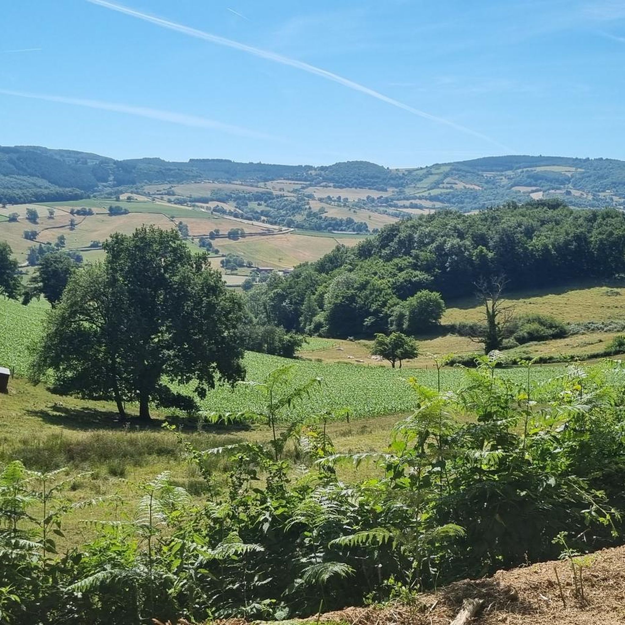
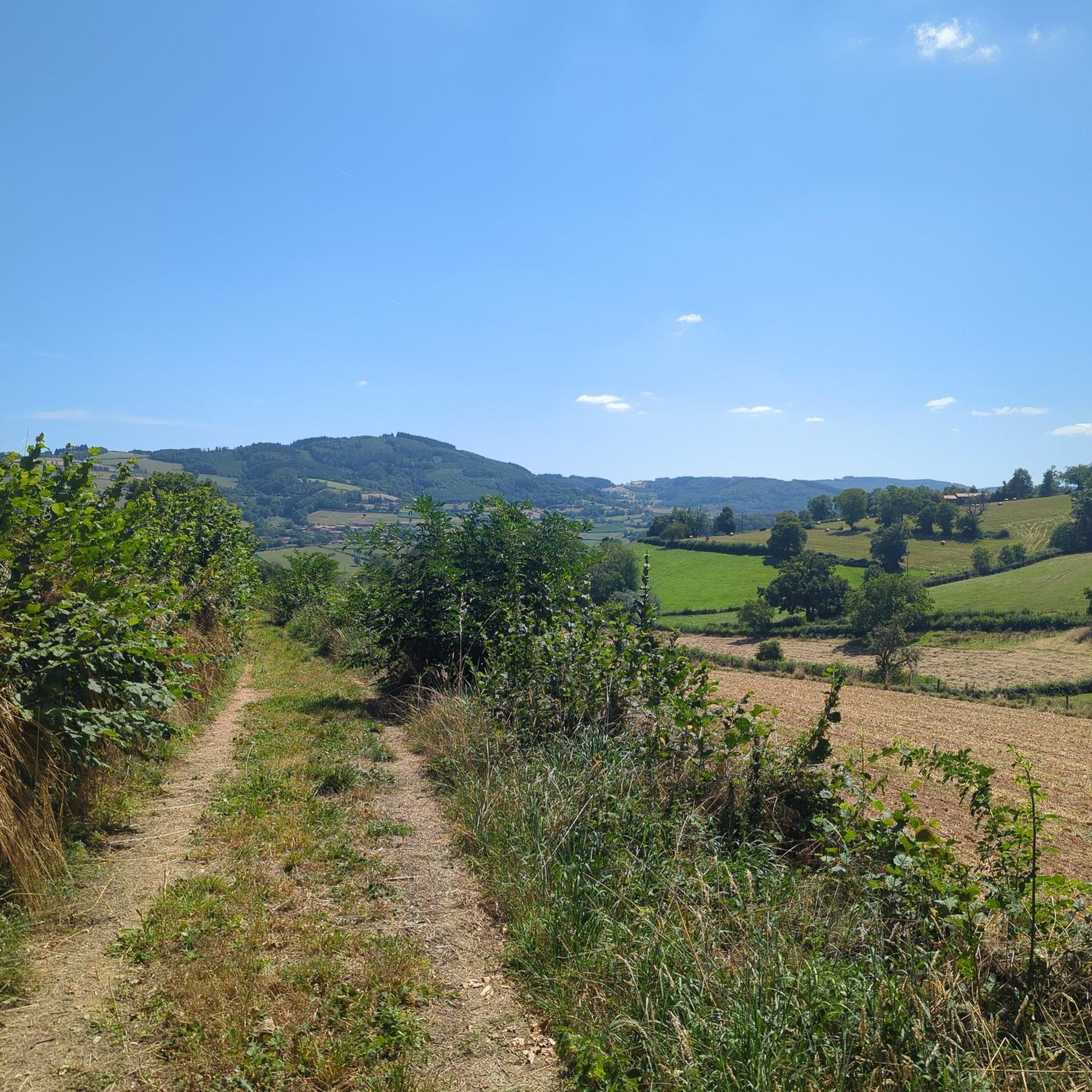
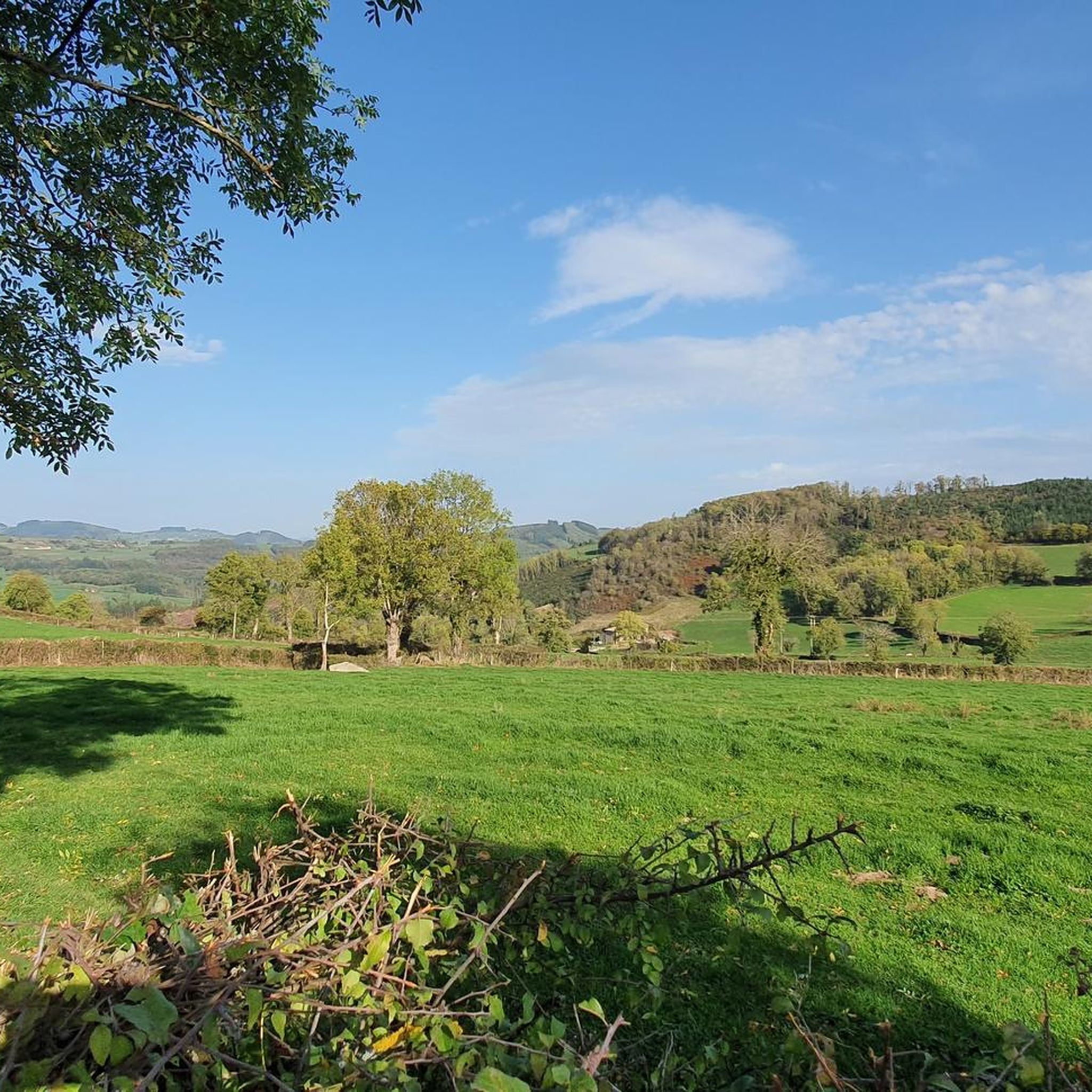
Road cycling routes around Saint-Pierre-Le-Vieux are primarily characterized by a diverse landscape of rolling hills, river valleys, and agricultural lands, typical of the Saône-et-Loire department in France. The region features significant elevation changes, with routes often including climbs over hills and passes, offering varied challenges for cyclists. This area provides a mix of open country roads and routes that traverse through wooded sections and past local landmarks. The terrain is well-suited for road cyclists seeking both moderate and difficult ascents.
…Last updated: July 15, 2026
15
riders
29.7km
01:24
380m
380m
Moderate road ride. Good fitness required. Mostly well-paved surfaces and easy to ride.
12
riders
73.6km
03:44
1,150m
1,150m
Hard road ride. Very good fitness required. Mostly well-paved surfaces and easy to ride.

Sign up for free
8
riders
64.8km
03:04
830m
830m
Moderate road ride. Good fitness required. Mostly well-paved surfaces and easy to ride.
5.0
(1)
15
riders
Moderate road ride. Good fitness required. Mostly well-paved surfaces and easy to ride.
5
riders
83.8km
04:27
1,520m
1,520m
Hard road ride. Very good fitness required. Mostly well-paved surfaces and easy to ride.
Get access to more routes and recommendations from other explorers.
Sign up for free
Already have an account?
Our route recommendations are based on thousands of hikes, rides, and runs completed by other people on komoot.
Start today with a free account
Your next adventure awaits.
Login or Signup
Tips from the Community

The Rock of Solutré is a world-famous, 493-meter-high limestone rock in the south of the Burgundy region. It is located amidst the picturesque vineyards of the municipality of Solutré-Pouilly. The region is officially designated as a Grand Site de France. The hike to the summit is easy to moderate and very doable for families. It takes about 1 hour for the entire loop (approx. 4 kilometers round trip). The elevation gain is around 100 to 140 meters from the official parking lot on well-maintained paths with information panels, although there are many steps.
1
0
Although the pass is located in France and is not extremely high, its name translates to "Siberia Pass". The name goes back to the often very cold, snow-rich winds and the harsh weather conditions in winter.
1
0
The Col de Durbize is a mountain pass at 550 meters above sea level in the municipality of Chiroubles, in the heart of the Beaujolais wine region. The pass is located in the Massif Central and, as an important road junction (intersection of roads D26, D86, and D18E1), connects surrounding wine villages such as Villié-Morgon and Beaujeu. It is particularly popular with road cyclists and hikers for its panoramic views.
0
0
The Col de Gerbet (612 m) is an idyllic mountain pass in the French wine-growing region of Beaujolais. Depending on the starting point, various roads with little traffic lead up to the pass via the D137. From Juliénas (south-east approach): This route is 7.3 kilometers long. It overcomes 342 meters of altitude with a steady, moderate gradient of 4.7% on average. The road winds through shady forest sections. From La Croix Blanche (west approach): A tougher variant 4.5 kilometers long. Here you conquer 270 meters of altitude with an average gradient of 6% and ramps of up to 11%.
1
0

From here, you face a typical panorama of the Haut-Beaujolais with large, rolling meadows, dotted with wooded groves and highlighted by the region's highest peaks.
0
0

Card payments accepted. Very friendly 👍🏽
1
0

Frequently Asked Questions
How many road cycling routes are available around Saint-Pierre-Le-Vieux?
There are over 140 road cycling routes around Saint-Pierre-Le-Vieux, offering a wide range of options for different skill levels and preferences. The komoot community has explored these routes over 700 times, with an average rating of 4.8 stars.
What kind of terrain can I expect when road cycling near Saint-Pierre-Le-Vieux?
Road cycling around Saint-Pierre-Le-Vieux, located in the Saône-et-Loire department, is characterized by a diverse landscape of rolling hills, scenic river valleys, and agricultural lands. You can expect routes with significant elevation changes, including climbs over hills and mountain passes, as well as stretches through open country and wooded sections.
Are there routes suitable for beginners or those looking for an easier ride?
Yes, while the region is known for its rolling hills and challenging climbs, there are also easier options. Out of the 147 routes, 6 are classified as easy, providing a gentler introduction to road cycling in the area. The majority of routes, 84, are of moderate difficulty.
What are some of the more challenging road cycling routes in the area?
For experienced cyclists seeking a challenge, there are 57 difficult routes. One notable difficult route is the Bois Clair tunnel – Lamartine House loop from Matour, a 63 km path with substantial climbs and descents. Another demanding option is the West side of Mont Brouilly – Boubon Pass (638 m) loop from Matour, covering 83.8 km with over 1500m of elevation gain.
Are there any circular road cycling routes around Saint-Pierre-Le-Vieux?
Yes, many routes in the area are designed as loops, allowing you to start and finish in the same location. An example is the popular Lake Saint-Point – Lake Saint-Point loop from Saint-Pierre-le-Vieux, which is 55.6 km long and features significant elevation gain around the lake. Another is the Col de Gerbet – Col de la Grange du Bois loop from Trambly, a 64.8 km trail through hilly landscapes.
What landmarks or points of interest can I see along the road cycling routes?
The region offers several interesting landmarks and natural features. Cyclists can encounter mountain passes like Col de la Sibérie, 638 m and Boubon Pass (638 m). Other points of interest include Mount Saint-Rigaud and the settlement of Tramayes. You might also pass by religious buildings such as Croix d'Ajoux.
What do other road cyclists enjoy most about road cycling in Saint-Pierre-Le-Vieux?
The area is highly rated by the komoot community, with an average score of 4.8 stars from over 30 reviews. Cyclists frequently praise the varied terrain, which offers both challenging climbs and scenic descents, as well as the quiet country roads and picturesque landscapes of the Saône-et-Loire department.
Are there any routes with particularly scenic views?
Many routes offer scenic views, especially those that traverse the rolling hills and river valleys. For example, the Panorama – Tramayes loop from Matour is a moderate 36.3 km route that lives up to its name, providing beautiful vistas of the surrounding countryside.
What is the best time of year for road biking in Saint-Pierre-Le-Vieux?
While specific seasonal data isn't available, the region's climate generally makes spring and autumn ideal for road cycling. During these seasons, temperatures are typically milder, and the natural landscapes are at their most vibrant, offering pleasant conditions for longer rides and enjoying the scenic views.
Are there options for long-distance road cycling routes?
Yes, the area provides several longer routes for endurance cyclists. For instance, the West side of Mont Brouilly – Boubon Pass (638 m) loop from Matour is an 83.8 km route, and the Col de Gerbet – Col de la Grange du Bois loop from Trambly covers 64.8 km, both offering significant distances and elevation.
Can I find routes that are less crowded?
The road cycling routes around Saint-Pierre-Le-Vieux generally traverse rural areas, offering a good chance to find less crowded roads compared to more urbanized regions. Exploring routes that are not among the very top-rated or well-known might lead to a more tranquil cycling experience.
Most popular routes around Saint-Pierre-Le-Vieux
Most popular attractions around Saint-Pierre-Le-Vieux

Get inspired with the komoot mobile app


Explore more
Browse the best Road cycling routes in other regions.
