The best running trails around Montigny-Lès-Cherlieu
116
runners
20
runs
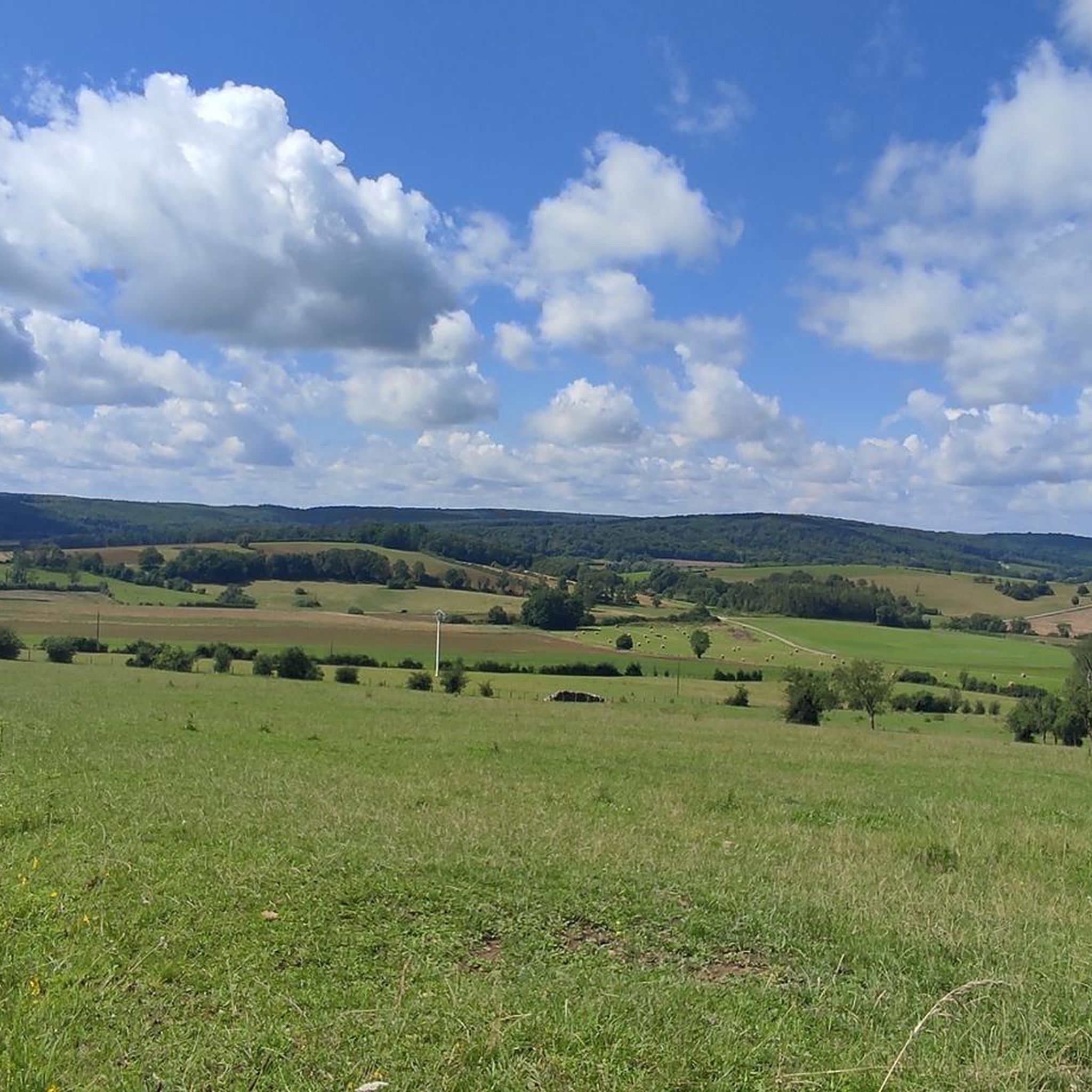
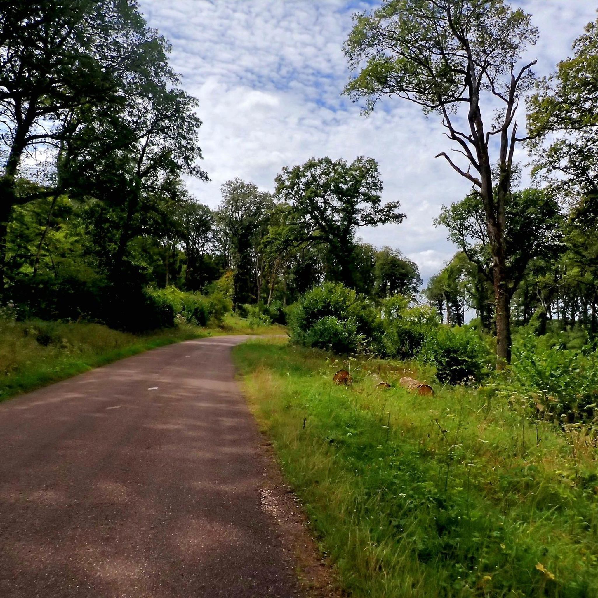
Jogging routes around Montigny-Lès-Cherlieu traverse a tranquil environment characterized by extensive forests, river valleys, and elevated plateaus. The region features paths through the Cherlieu Forest, alongside watercourses like the Ougeotte River, and across varied topographies. This diverse landscape provides a range of running experiences suitable for different fitness levels.
Best jogging routes around Montigny-Lès-Cherlieu
- The most popular jogging route is Running loop from Gevigney-et-Mercey, a 4.3 miles (6.9 km) trail that takes about 44 minutes to complete, offering a…
Last updated: July 5, 2026
4
runners
7.08km
00:45
60m
60m
Moderate run. Good fitness required. Mostly paved surfaces. Suitable for all skill levels.
4
runners
5.62km
00:39
50m
50m
Moderate run. Good fitness required. Mostly paved surfaces. Suitable for all skill levels.

Sign up for free
4
runners
7.45km
00:48
70m
70m
Moderate run. Good fitness required. Mostly paved surfaces. Suitable for all skill levels.
4
runners
9.21km
00:59
70m
70m
Moderate run. Good fitness required. Mostly paved surfaces. Suitable for all skill levels.
3
runners
9.74km
01:06
140m
140m
Moderate run. Good fitness required. Mostly paved surfaces. Suitable for all skill levels.
Get access to more routes and recommendations from other explorers.
Sign up for free
Already have an account?
Our route recommendations are based on thousands of hikes, rides, and runs completed by other people on komoot.
Start today with a free account
Your next adventure awaits.
Login or Signup
Tips from the Community


At this point it goes up a bit steeply, but it's worth it
3
0
Frequently Asked Questions
What types of running routes can I find around Montigny-lès-Cherlieu?
The Montigny-lès-Cherlieu area offers a diverse range of running routes, primarily traversing extensive forests like the Cherlieu Forest, tranquil river valleys along the Ougeotte River, and gentle elevated plateaus. You'll find a mix of natural paths and some paved sections, suitable for various running styles and fitness levels.
How many running trails are available in the Montigny-lès-Cherlieu region?
There are over 15 running trails documented around Montigny-lès-Cherlieu on komoot. These include a variety of routes, from easy jogs to more challenging runs with varied inclines.
Are there any easy running routes suitable for beginners or a relaxed jog?
Yes, the region offers several easy running options. For instance, the Running loop from Combeaufontaine is a moderate 5.8 km (3.6 miles) trail that takes about 39 minutes, leading through open landscapes and rural paths, making it a good choice for a relaxed run.
Can I find circular running routes in Montigny-lès-Cherlieu?
Absolutely. Many of the running routes in the area are circular, allowing you to start and finish at the same point. Examples include the popular Running loop from Gevigney-et-Mercey and the Running loop from Gourgeon, both offering convenient circular paths.
What kind of natural scenery or landmarks can I expect to see while running?
While running, you can enjoy the serene Cherlieu Forest, picturesque river valleys, and potentially expansive views from plateaus. You might also encounter historical elements such as the vestiges of the ancient Cherlieu Abbey Ruins or the village's seven fountains. The area also features charming settlements like Jussey and scenic viewpoints like the Melay chapel.
Are the running trails around Montigny-lès-Cherlieu suitable for families?
The tranquil environment and varied terrain make many routes suitable for families. While specific 'family-friendly' designations aren't always present, routes with lower elevation gain and shorter distances, such as the Running loop from Combeaufontaine, can be enjoyed by families looking for a gentle outdoor activity.
Are dogs allowed on the running trails in this region?
Generally, dogs are welcome on trails in natural areas around Montigny-lès-Cherlieu, especially in the Cherlieu Forest. However, it's always advisable to keep them on a leash, particularly near wildlife or in agricultural areas, and to check for any specific local regulations or signage on individual routes.
Is there parking available near the trailheads?
While specific parking information for every trailhead isn't always detailed, given the rural nature of Montigny-lès-Cherlieu and surrounding villages, you can often find parking in or near the starting points of routes. It's recommended to check local village centers or designated parking areas when planning your run.
What is the best time of year to go running in Montigny-lès-Cherlieu?
The region is beautiful year-round. Spring and autumn offer pleasant temperatures and vibrant scenery, with the Cherlieu Forest being particularly stunning. Summer provides shaded runs through the woods, while winter can offer a unique, tranquil experience, though some paths might be muddy or icy. Always check local weather conditions before heading out.
Are there any longer or more challenging running routes for experienced runners?
Yes, for those seeking a greater challenge, routes like the La Grosse Roche loop from La Roche-Morey offer a moderate 9.9 km (6.2 miles) path with varied terrain and some notable elevation gain, often leading through forested sections. The region also features a couple of routes classified as 'difficult' for those looking for a more strenuous workout.
What do other runners say about the trails in Montigny-lès-Cherlieu?
Runners frequently praise the tranquil environment and the beauty of the natural landscapes, especially the extensive forest paths and river valleys. The variety of routes, catering to different fitness levels, is also highly appreciated, making it a rewarding destination for outdoor enthusiasts.
Most popular routes around Montigny-Lès-Cherlieu
Most popular attractions around Montigny-Lès-Cherlieu

Get inspired with the komoot mobile app


Explore more
Browse the best Running Trails & Routes in other regions.
