The best walks and hikes around Javernant
4.5
(128)
580
hikers
114
hikes
Hiking around Javernant offers a network of trails through varied terrain. The region is characterized by woodlands, open countryside, and gentle elevation changes, providing diverse walking experiences. Many routes incorporate natural features such as ponds and fountains. The landscape typically features rolling hills and forested sections, suitable for different hiking preferences.
Best hiking trails around Javernant
- The most popular hiking route is Sentier du Loup, an 8.4 miles (13.5 km) moderate trail that takes 3 hours 44 minutes to…
Last updated: October 7, 2026
4.3
(10)
44
hikers
13.5km
03:44
230m
230m
Hike the moderate 8.4-mile Le Sentier du Loup loop from Sommeval, exploring forests, views, and the unique Pelouse aux Orchidées.
4.3
(8)
44
hikers
11.7km
03:16
220m
220m
Moderate hike. Good fitness required. Easily-accessible paths. Suitable for all skill levels.

4.3
(3)
19
hikers
11.3km
03:13
200m
200m
Moderate hike. Good fitness required. Mostly accessible paths. Sure-footedness required.
4.5
(2)
14
hikers
16.5km
04:46
330m
330m
Moderate hike. Good fitness required. Mostly accessible paths. Sure-footedness required.
4.0
(2)
14
hikers
27.6km
08:05
600m
610m
Hard hike. Very good fitness required. Mostly accessible paths. Sure-footedness required.
Get access to more routes and recommendations from other explorers.
Already have an account?
Our route recommendations are based on thousands of hikes, rides, and runs completed by other people on komoot.
Start today with a free account
Your next adventure awaits.

Tips from the Community


Today wooded - several markers indicate the most remarkable species - the mound opens onto a clearing where two ponds and a fountain indicating a source stand. At the bottom, several paths rise, sometimes abruptly, to the oppidum overlooking the site, crossing a double crown of ditches using footbridges. From there, several panoramas unfold offering breathtaking views of the city of Troyes and the Champagne plain.
0
0

The Montaigu fountain and pond are perfect places to take a break. The place has a picnic table and playground. On the hill of Montaigu, located above the source, was once the castle of the Counts of Champagne. The stronghold was destroyed in the 15th century following the Treaty of Troyes. At the top of the mountain, you have a panoramic view of the plain.
0
0

Come to a club to help its members maintain these trails.
0
0

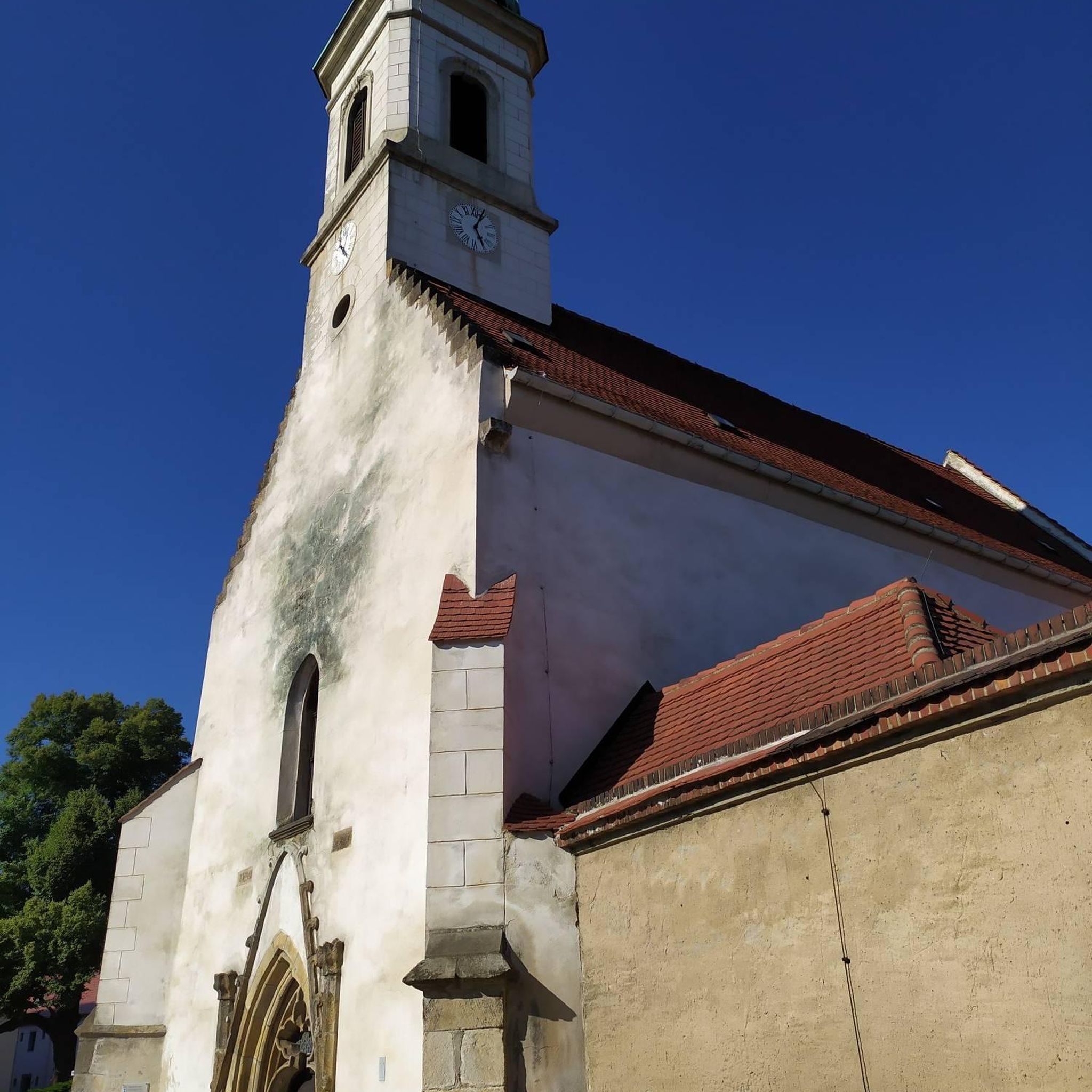
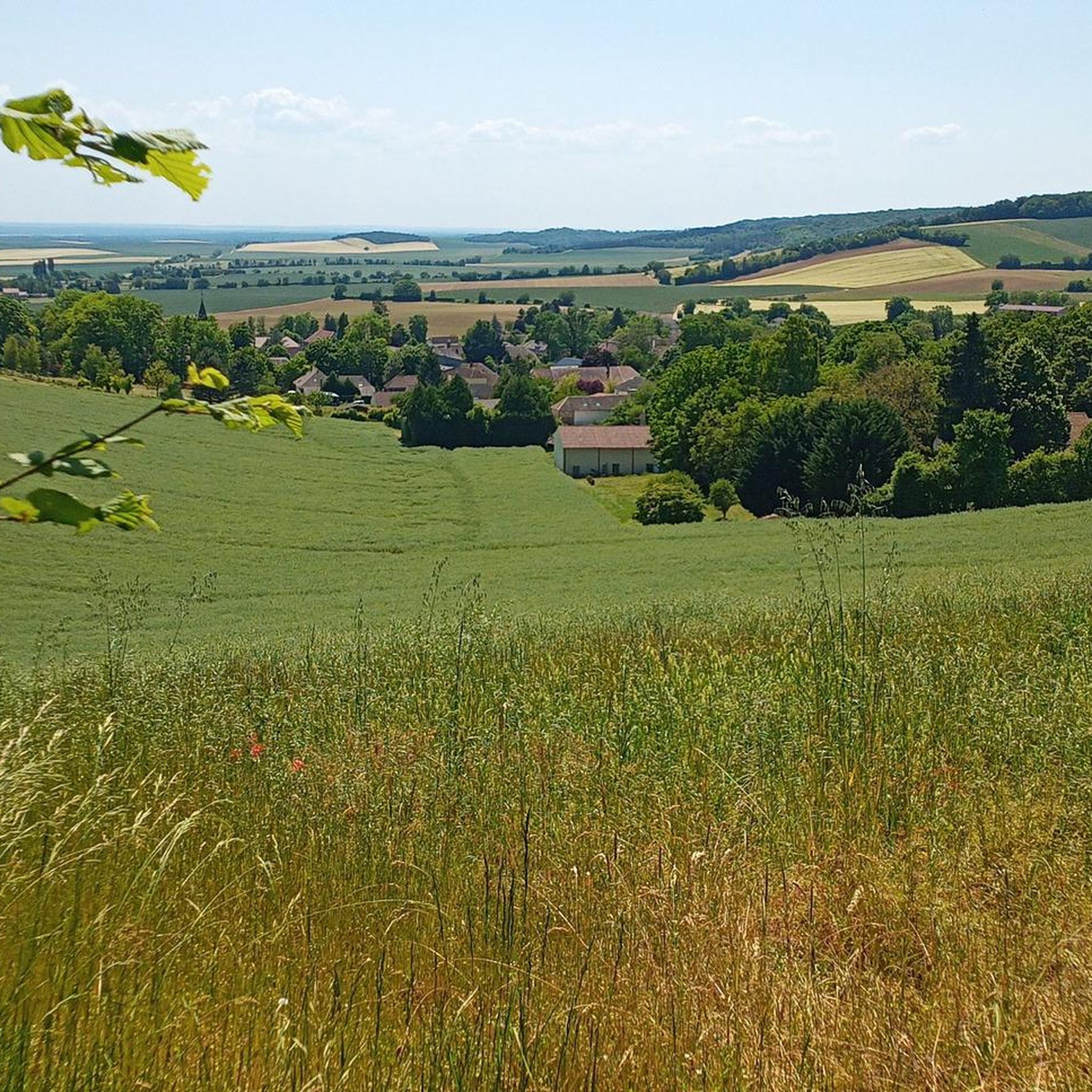
By taking this sunken path, the trees become rarer, the forest ends and a magnificent view of Sommeval opens up to you.
2
0
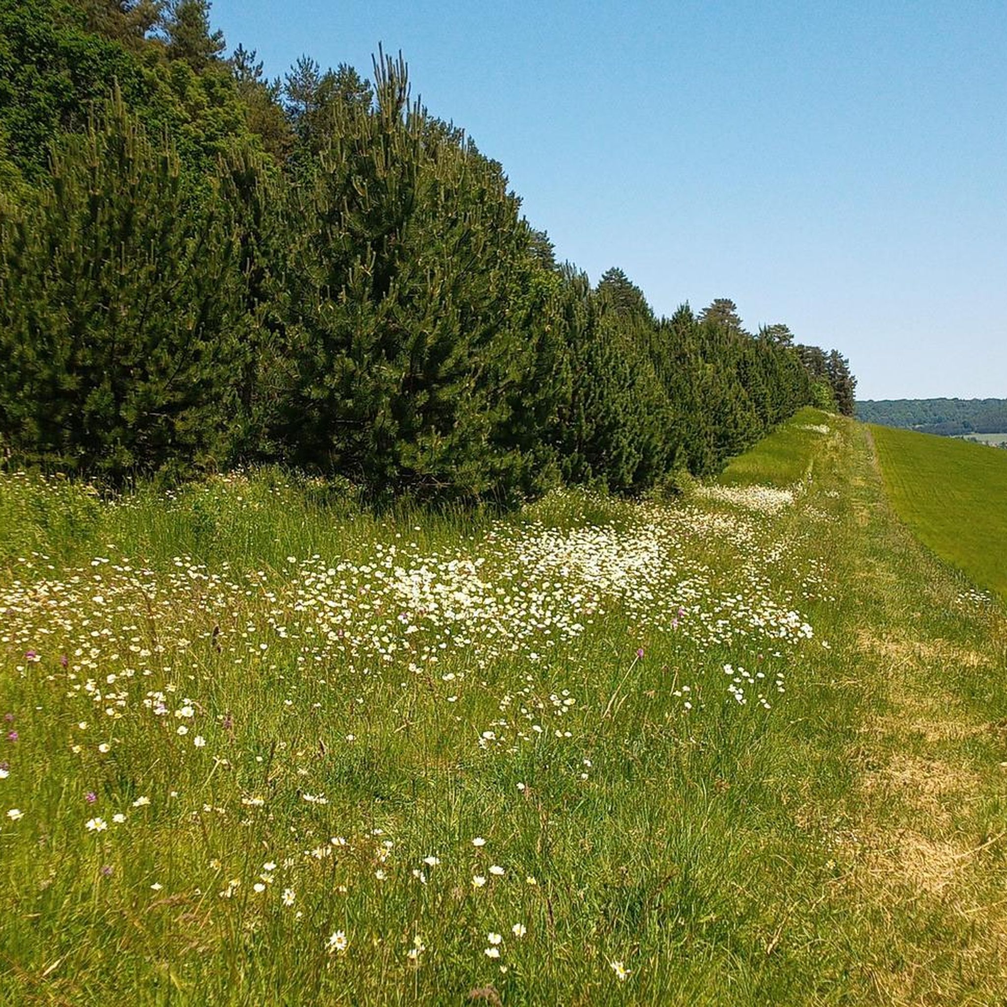
As you pass through this wooded area, you will be surrounded by trees. The perfect opportunity to run and take a forest bath.
2
0
This natural site offers a breathtaking view of the city and the Champagne plain from the top of a hill which once housed a medieval castle. You can also discover the wooded paths, the old ditches and the fountain which marks a source. Picnic tables and benches will allow you, if you wish, to rest for a moment during your race.
2
0
Frequently Asked Questions
What types of hiking trails can I find around Javernant?
Javernant offers a diverse network of trails through woodlands, open countryside, and areas with gentle elevation changes. You'll find routes that incorporate natural features like ponds and fountains, with options ranging from easy strolls to more challenging hikes.
How many hiking routes are available in the Javernant area?
There are over 80 hiking routes recorded around Javernant on komoot, catering to various preferences and skill levels.
Are there any easy hiking trails suitable for beginners or families in Javernant?
Yes, Javernant has 16 easy hiking routes. A good option for a more relaxed walk is the Very nice forest trail loop from Sommeval, which is 3.9 miles (6.2 km) long and takes about 2 hours to complete.
What are the typical lengths and difficulties of hikes in Javernant?
The trails vary significantly in length and difficulty. You'll find everything from shorter, easy loops like the 3.9-mile (6.2 km) Very nice forest trail loop from Sommeval to more difficult, longer routes such as the 17.1-mile (27.5 km) Montaigu – Montaigu Fountain and Pond loop from Bouilly. The majority of routes, 59 out of 80, are rated as moderate.
Are there any circular hiking routes around Javernant?
Yes, many of the trails in Javernant are circular. For example, the popular Montaigu Fountain and Pond – Montaigu loop from Bouilly is a moderate 9.7-mile (15.6 km) circular path that features scenic water elements.
What interesting natural features or landmarks can I see along the trails?
Many routes pass by notable features. You can explore the beautiful Montaigu Fountain and Pond, visit the historic Monument of Montaigu, or enjoy views from the Montaigu summit. Some trails also offer viewpoints like the Descent/ascent on/from Sommeval.
What do other hikers say about the trails in Javernant?
The hiking routes in Javernant are highly regarded by the komoot community, with an average rating of 4.5 out of 5 stars from over 85 reviews. Hikers often praise the varied terrain, the immersion in forested areas, and the presence of scenic water features.
Are there any trails that feature water elements like ponds or fountains?
Absolutely. The region is known for incorporating water features into its landscape. The Montaigu Fountain loop from Bouilly is a great example, leading through woodlands and past several water elements.
Is Javernant a good place for hiking if I prefer less crowded trails?
While some popular routes attract more visitors, with over 80 trails available, it's possible to find quieter paths, especially during off-peak times or by exploring some of the less-trafficked moderate and difficult routes. The region's extensive network allows for a sense of natural immersion.
What is the best time of year to go hiking in Javernant?
Javernant's landscape of woodlands and open countryside makes it enjoyable for hiking across multiple seasons. Spring and autumn offer pleasant temperatures and beautiful foliage, while summer provides longer daylight hours. Winter hiking is also possible, though conditions may vary.
Are there any longer, more challenging hikes for experienced hikers?
Yes, for experienced hikers, there are 5 difficult routes available. The longest and most challenging is the Montaigu – Montaigu Fountain and Pond loop from Bouilly, which spans 17.1 miles (27.5 km) with significant elevation changes.
What kind of flora can I expect to see on the trails around Javernant?
The region is characterized by extensive woodlands, so you'll encounter various tree species. The open countryside sections also feature diverse plant life, changing with the seasons. Keep an eye out for wildflowers in spring and the rich colors of autumn foliage.
Most popular routes around Javernant
Most popular attractions around Javernant

Get inspired with the komoot mobile app


Explore more
Browse the best Hikes in other regions.
