The best MTB trails around Montclus
4.4
(148)
750
riders
77
rides
Mountain biking around Montclus offers diverse landscapes within the Gard department, characterized by rolling hills, unspoiled countryside, and lush green valleys. The region is situated within a meander of the Cèze River, providing scenic routes along its banks and through picturesque gorges. Mountain bikers can explore paths through vineyards, lavender fields, and within protected natural areas like the Garrigues de Lussan, which preserve local biodiversity. The varied terrain includes both gentle paths and more demanding ascents through oak forests.
Best…
Last updated: October 11, 2026
4.3
(3)
21
riders
43.0km
03:43
870m
870m
Moderate mountain bike ride. Good fitness required. Suitable for all skill levels.
4.0
(2)
10
riders
50.7km
03:08
580m
580m
Moderate mountain bike ride. Good fitness required. Suitable for all skill levels.

3.0
(1)
3
riders
27.0km
02:07
480m
470m
Moderate mountain bike ride. Good fitness required. Suitable for all skill levels.
4.5
(4)
6
riders
49.3km
04:01
1,170m
1,170m
Hard mountain bike ride. Very good fitness required. Suitable for all skill levels.
4.0
(1)
9
riders
41.2km
03:33
1,010m
1,010m
Hard mountain bike ride. Very good fitness required. Suitable for all skill levels.
Get access to more routes and recommendations from other explorers.
Already have an account?
Our route recommendations are based on thousands of hikes, rides, and runs completed by other people on komoot.
Start today with a free account
Your next adventure awaits.

Tips from the Community

Not a very demanding climb. Asphalt in excellent condition.
5
0
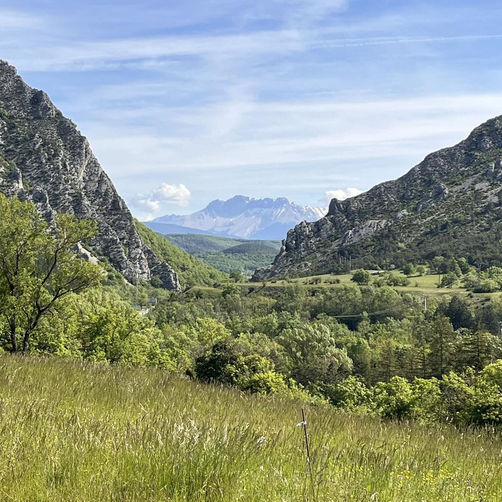
Col de la Saulce is a pass in the Baronnies, located in the Hautes-Alpes department, at an altitude of 874 m. It connects the Eygues valley with the Buëch valley and is crossed by the departmental road D994.
11
0
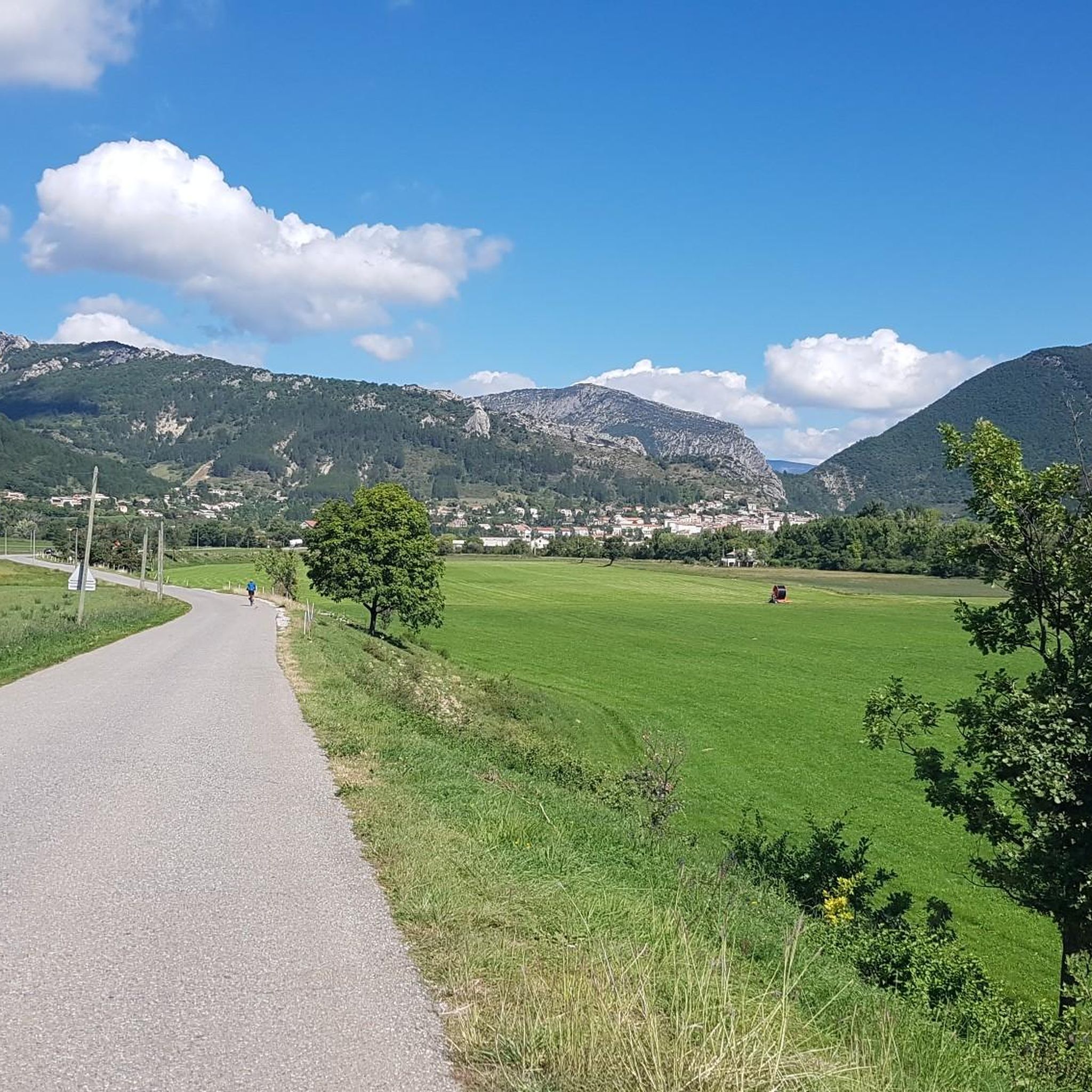
Savournon is a small rural commune in southeastern France, located in the department of Hautes-Alpes, in the Provence-Alpes-Côte d'Azur region. It lies in a transition zone between the Alps and the gentler territory of the Buëch valley, creating a landscape of strong contrasts characterized by hills, fields, and wooded areas.
14
0
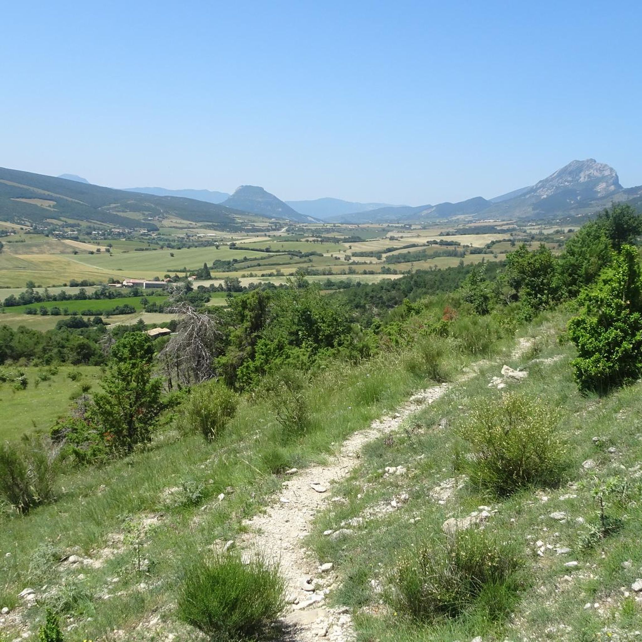
The view of Aujour (Montagne de l’Aujour) is one of the most spectacular panoramas in the area between the Alpes-de-Haute-Provence and the Sisteron area: a long limestone ridge that dominates valleys, hills and, on clear days, opens up to the Prealps and the Durance basin.
17
0
La Route de Sigottier is a road located in the Hautes-Alpes (05700), in the Provence-Alpes-Côte d'Azur region, within the municipality of Sigottier.
16
0
Serres is a municipality in southeastern France, located in the department of Hautes-Alpes, in the Provence-Alpes-Côte d’Azur region.
19
0

Not rideable for me, pretty washed out and totally overgrown
0
0

The Col d'Aron culminates at an altitude of 1,450 meters. It is easily accessible by the forest track. A cabin provides shelter. Picnic tables are also nearby.
0
0
Frequently Asked Questions
How many mountain bike trails are there around Montclus?
Montclus offers a wide selection of mountain bike trails, with over 70 routes available. These range from easy paths to more challenging rides, ensuring options for various skill levels.
Are there mountain bike trails suitable for beginners or families in Montclus?
Yes, Montclus has trails suitable for beginners and families. While the region is known for its varied terrain, there are 5 easy routes and 29 moderate routes that can be enjoyed. These often follow gentler paths through vineyards or along the Cèze River, providing a pleasant experience without significant technical difficulty.
What kind of terrain can I expect on mountain bike trails in Montclus?
The terrain around Montclus is quite diverse. You'll encounter rolling hills, unspoiled countryside, and paths winding through oak forests and fragrant garrigues. Routes often follow the Cèze River, offering scenic views, and some trails pass through vineyards and lavender fields. Expect a mix of gentle paths and more demanding ascents.
Are there any challenging mountain bike trails for experienced riders?
Absolutely. For experienced riders seeking a challenge, Montclus offers 44 difficult mountain bike routes. Trails like the Route de Sigottier – Col des Tourette (1126 m) loop from Serres, spanning nearly 50 km with over 1100 meters of elevation gain, provide significant physical demands and rewarding descents. Another challenging option is the Col d'Aron shelter – Route de Sigottier loop from Serres, which also features over 1200 meters of climbing.
What natural features or scenic viewpoints can I expect to see along the trails?
Montclus is rich in natural beauty. You can expect to ride through the picturesque gorges of the Cèze River, which is a Natura 2000 site. The region also features rolling hills, oak forests, and extensive vineyards. For specific viewpoints, consider routes that pass near highlights like the View from the Summit of Rocher de Saint-Michel or the Le Duffre (Montagne de l'Aup). The Gorges du Riou are also a notable natural attraction.
Are there any loop trails for mountain biking in Montclus?
Yes, many mountain bike trails in Montclus are designed as loops, allowing you to start and end at the same point. Popular loop options include the Riou Gorges – Downhill trial loop from Serres, a moderate 42.9 km route, and the The Shores of the Lake – The Virgin Mary above the village loop from Serres, a longer 53.2 km moderate ride.
What is the best time of year for mountain biking in Montclus?
Montclus benefits from a Mediterranean climate, making spring and autumn ideal for mountain biking. During these seasons, the weather is typically mild and pleasant, and the landscapes are vibrant. Summer can be quite warm, especially in July and August, so early morning rides are recommended if cycling during this period. Winter offers cooler temperatures but can still be suitable on dry days.
What do other mountain bikers enjoy most about mountain biking in Montclus?
The mountain bike trails around Montclus are highly rated by the komoot community, with an average score of 4.4 stars from over 120 reviews. Riders frequently praise the diverse landscapes, from river valleys and gorges to oak forests and vineyards, as well as the variety of routes available for different skill levels. The well-preserved natural environment and scenic views are also commonly highlighted.
Is Montclus accessible by public transport for cyclists?
While Montclus is a charming, somewhat secluded village, public transport options directly to trailheads might be limited. It's advisable to check local bus schedules for connections to larger towns in the Gard department. Many visitors prefer to arrive by car, which offers more flexibility for reaching various starting points for mountain bike trails.
Are there specific parking areas for mountain bikers near the trails?
While specific dedicated mountain bike parking areas are not explicitly listed, Montclus and nearby villages like Serres (a common starting point for many routes) typically offer public parking facilities. It's recommended to check local signage upon arrival for the most convenient and appropriate parking spots near your chosen trailhead.
Can I bring my dog on the mountain bike trails in Montclus?
Many outdoor trails in France, especially in natural areas, are generally dog-friendly, provided dogs are kept under control, ideally on a leash, to protect local wildlife and respect other users. Given that Montclus is surrounded by protected natural areas like the Natura 2000 Garrigues de Lussan, it's particularly important to adhere to local regulations regarding pets. Always ensure your dog is well-behaved and that you clean up after them.
What kind of gear should I bring for mountain biking in Montclus?
Given the varied terrain and potential for challenging routes, it's essential to come prepared. A well-maintained mountain bike suitable for off-road conditions is crucial. We recommend wearing a helmet, appropriate cycling attire, and bringing plenty of water, especially during warmer months. Depending on the trail difficulty, knee and elbow pads might also be advisable. Always carry a repair kit and a fully charged phone.
Most popular attractions around Montclus

Get inspired with the komoot mobile app


Explore more
Browse the best MTB trails in other regions.
