The best walks and hikes around Montclus
4.5
(328)
1,688
hikers
90
hikes
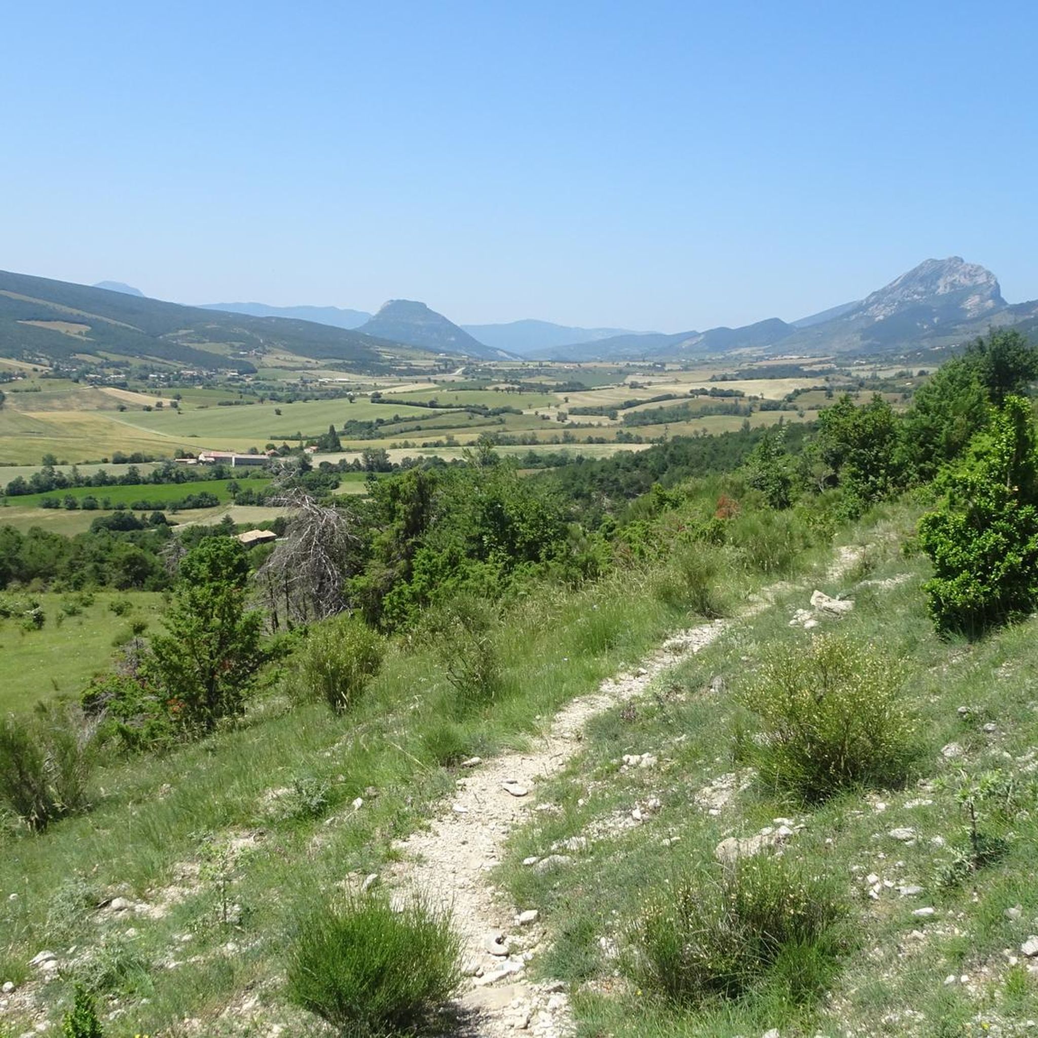
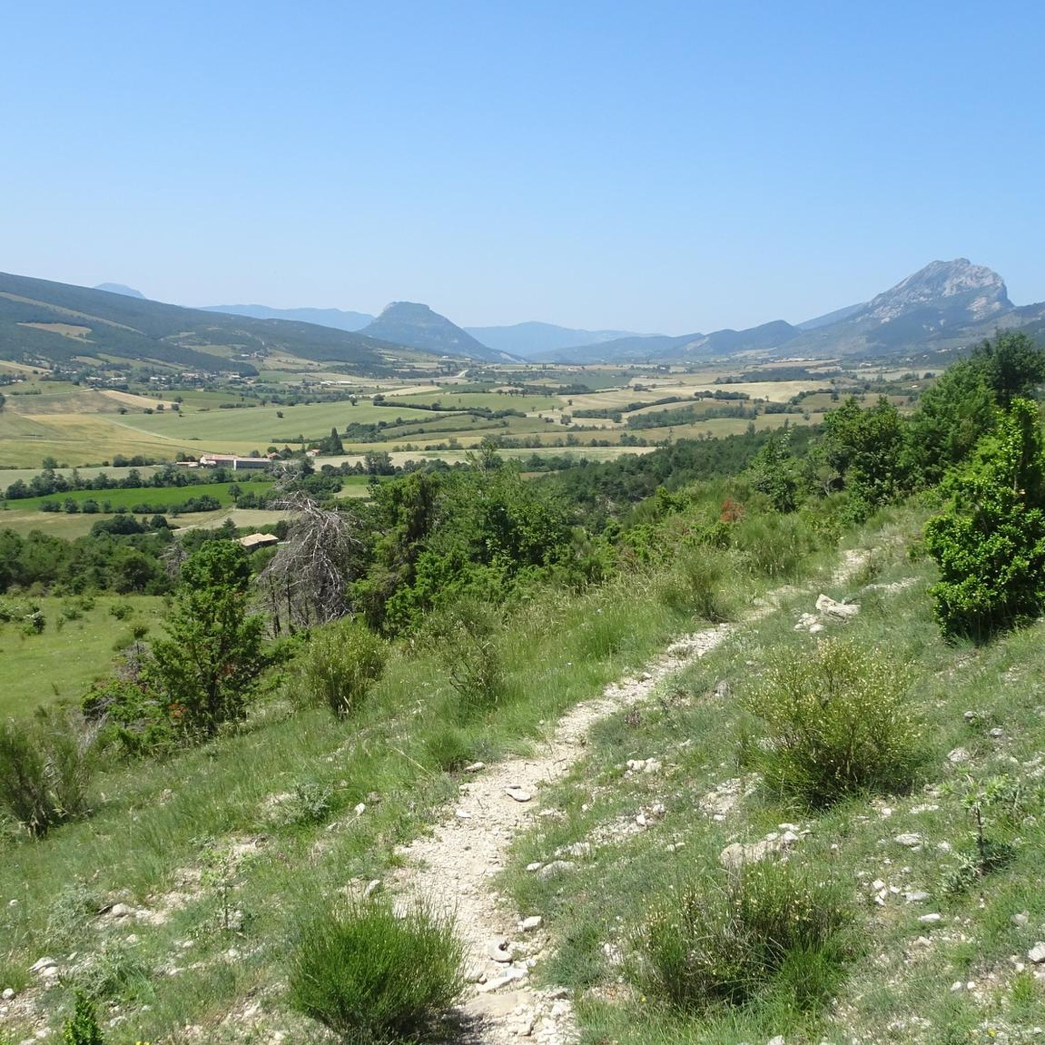
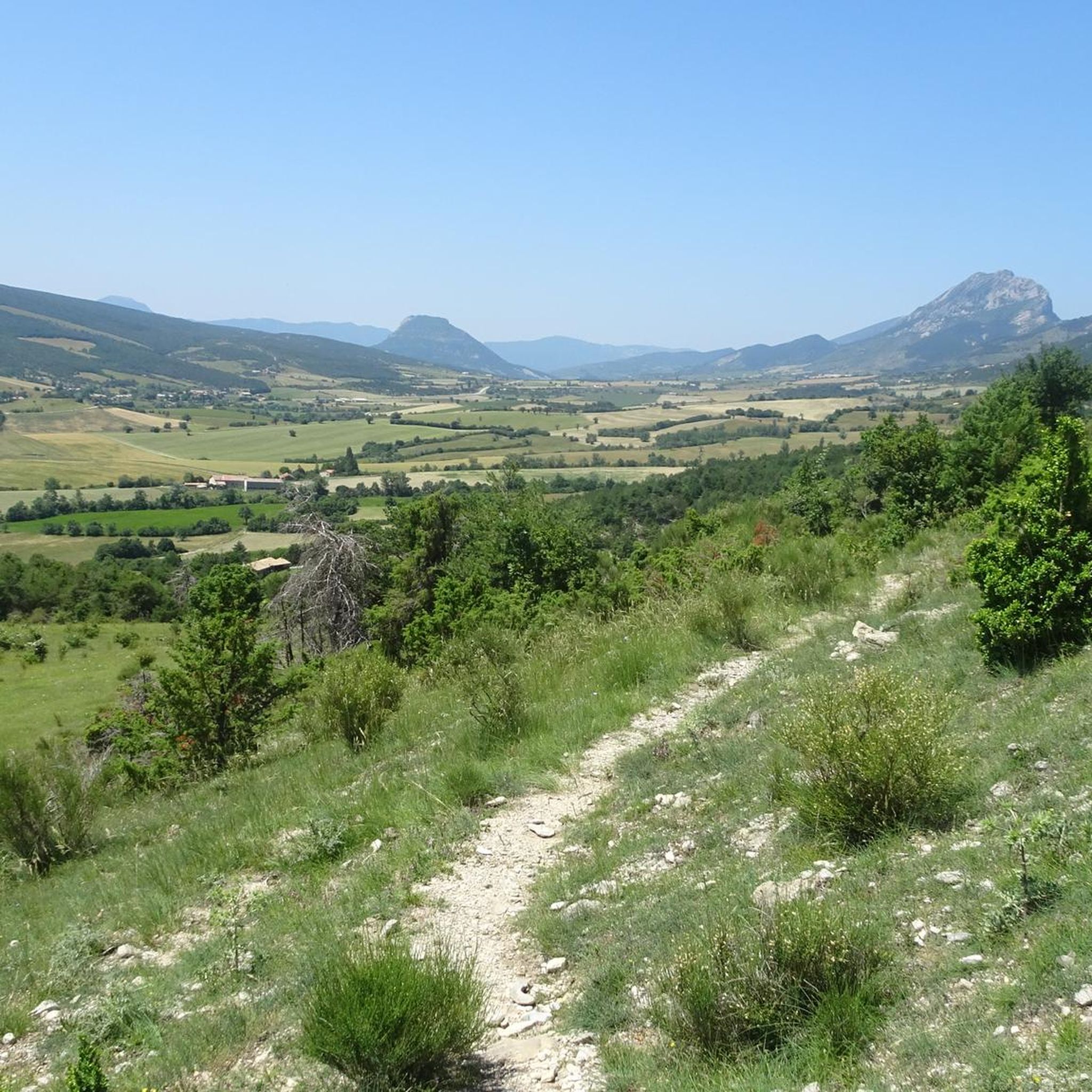
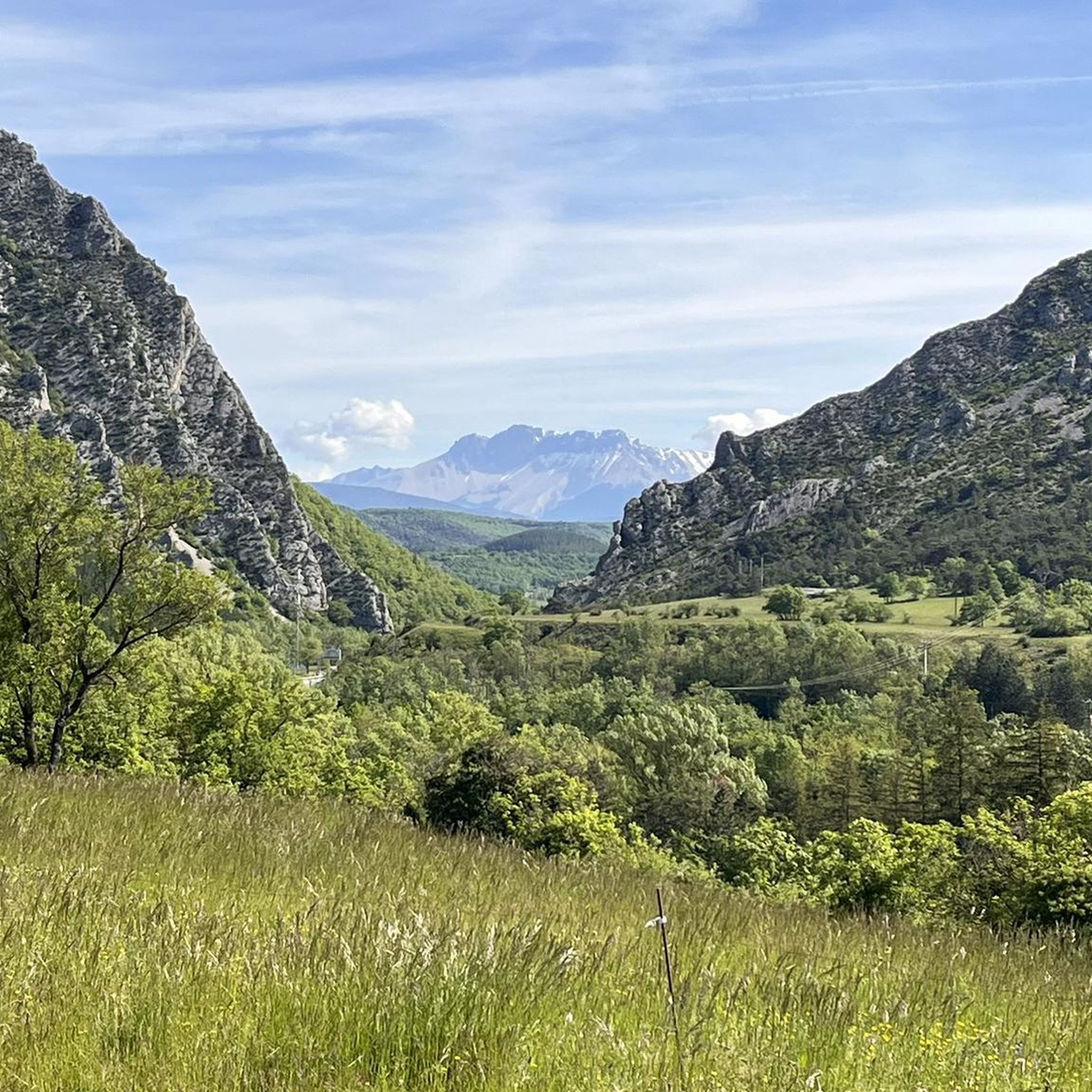
Hiking around Montclus offers access to varied terrain in the region. The landscape is characterized by its river valleys, rolling hills, and a mix of open fields and forested areas. Elevation changes are present, providing both moderate climbs and gentler paths. The area's geology contributes to diverse natural features suitable for hiking.
Best hiking trails around Montclus
- The most popular hiking route is Serres – Chemin Haut de Saumane loop from Serres, a 3.7 miles (6.0 km) trail that…
Last updated: October 12, 2026
4.7
(23)
91
hikers
6.10km
02:24
350m
350m
Moderate hike. Good fitness required. Mostly accessible paths. Sure-footedness required.
4.3
(6)
36
hikers
10.3km
02:39
50m
50m
Moderate hike. Good fitness required. Easily-accessible paths. Suitable for all skill levels.

5.0
(1)
13
hikers
17.0km
05:38
800m
800m
Hard hike. Very good fitness required. Easily-accessible paths. Suitable for all skill levels.
3.0
(4)
19
hikers
7.63km
03:28
720m
720m
Moderate hike. Good fitness required. Easily-accessible paths. Suitable for all skill levels.
10
hikers
21.6km
07:00
890m
890m
Hard hike. Very good fitness required. Mostly accessible paths. Sure-footedness required.
Get access to more routes and recommendations from other explorers.
Already have an account?
Our route recommendations are based on thousands of hikes, rides, and runs completed by other people on komoot.
Start today with a free account
Your next adventure awaits.

Tips from the Community

Serres is a municipality in southeastern France, located in the department of Hautes-Alpes, in the Provence-Alpes-Côte d’Azur region.
19
0


The Col d'Aron culminates at an altitude of 1,450 meters. It is easily accessible by the forest track. A cabin provides shelter. Picnic tables are also nearby.
0
0
The small village of Sigottier is nestled in the hollow of the cliffs on the banks of the Aiguebelle. It is a famous site for climbing. An overturned menhir sits above the village.
0
0
This very beautiful path joins the Col de Saumane at an altitude of 1,030 meters. The Notre-Dame de Saumane chapel, also called Notre-Dame-des-Anges, is located along the road.
0
1
Located on the crests of the Rocher de Beaumont, south of Serres, the summit of Rochasson culminates at an altitude of 1,420 meters.
0
0
Located at an altitude of 660 meters and leaning against the Pignolette rock, the village of Serres dominates the valley and its river. This small medieval town boasts some treasures: the arcaded square, the sculpted doors, the Romanesque church... As you stroll through its streets, you discover its rich history.
4
0
Frequently Asked Questions
How many hiking trails are available around Montclus?
There are over 85 hiking trails around Montclus, offering a diverse range of options for all skill levels. You'll find everything from gentle strolls to more demanding ascents.
When is the best time of year to go hiking in Montclus?
The Montclus region is generally pleasant for hiking in spring (April-May) and autumn (September-October) when temperatures are mild and the landscape is vibrant. Summer can be warm, but early mornings or late afternoons are still suitable for walks, especially along shaded river paths.
Are there easy or beginner-friendly hiking trails in Montclus?
Yes, Montclus offers several easy and beginner-friendly hiking options. The landscape includes gentler paths and river sections, making it accessible for those new to hiking. Approximately 10 of the routes are classified as easy.
Where can I find more challenging hiking routes near Montclus?
For those seeking a challenge, Montclus has several difficult routes. One such option is the Le Rochasson – Beaumont loop from Montclus, a 10.6-mile (17.0 km) trail with significant elevation changes, often taking over 5 hours to complete. Another challenging route is the Col d'Aron shelter – Sigottier loop from Sigottier, which covers over 13 miles (21 km).
What interesting sights or viewpoints can I discover on hikes around Montclus?
Hikes around Montclus offer opportunities to see various natural and historical landmarks. You can explore places like Orpierre, the dramatic Gorges du Riou, or enjoy panoramic views from View from the Summit of Rocher de Saint-Michel. The region also features mountain passes like Col de Carabès and summits such as Le Duffre (Montagne de l'Aup).
Are there opportunities for wild swimming near hiking trails in Montclus?
Given the region's characteristic river valleys, there are often natural spots suitable for a refreshing dip during warmer months. While specific wild swimming locations are not detailed for every trail, exploring paths along the rivers may lead you to suitable spots.
Are there family-friendly walks suitable for children in Montclus?
Yes, many of the easier routes in Montclus are suitable for families with children. These trails often feature gentler terrain and shorter distances, allowing for an enjoyable outdoor experience for all ages. Look for routes classified as 'easy' for the best family options.
Can I find circular hiking routes around Montclus?
Absolutely. Many of the hiking trails in Montclus are designed as loops, allowing you to start and end at the same point without retracing your steps. An example is the Serres – Café Terrace in Serres loop from Le Bersac, a moderate 6.4-mile (10.3 km) path.
What do other hikers enjoy the most about hiking in Montclus?
The hiking trails around Montclus are highly rated by the komoot community, with an average score of 4.5 stars from over 270 reviews. Hikers often praise the varied terrain, which includes river paths, forested sections, and open countryside, as well as the options available for different ability levels.
Are there any less crowded hiking trails in the Montclus area?
While some popular routes can see more foot traffic, the Montclus area has over 85 trails, offering plenty of opportunities to find quieter paths. Exploring some of the longer or more difficult routes, such as the Col d'Aron shelter loop from L'Épine, might lead to a more secluded experience, especially during off-peak times.
What kind of terrain can I expect on hikes around Montclus?
The landscape around Montclus is characterized by diverse terrain, including river valleys, rolling hills, and a mix of open fields and forested areas. You'll encounter both moderate climbs and gentler paths, with the region's geology contributing to varied natural features.
Most popular attractions around Montclus

Get inspired with the komoot mobile app


Explore more
Browse the best Hikes in other regions.
