The best running trails around Geinslingen
4.3
(3)
168
runners
41
runs
Jogging routes Geislingen offer a network of paths characterized by gentle gradients and proximity to water features. The region provides varied terrain suitable for different running preferences, from shorter loops to longer distances. Runners can explore areas around ponds and canals, with routes generally featuring minimal elevation changes.
Best jogging routes around Geinslingen
- The most popular jogging route is View of Insming – 17th Century Calvary loop from Givrycourt, a 7.4 miles (11.9 km) trail that takes 1 hour…
Last updated: July 5, 2026
7
runners
11.9km
01:24
70m
70m
Moderate run. Good fitness required. Mostly paved surfaces. Suitable for all skill levels.
4.0
(1)
7
runners
15.8km
01:41
80m
80m
Hard run. Very good fitness required. Mostly paved surfaces. Suitable for all skill levels.

Sign up for free
4.5
(2)
5
runners
8.69km
01:00
50m
50m
Moderate run. Good fitness required. Mostly paved surfaces. Suitable for all skill levels.
6
runners
5.27km
00:34
30m
40m
Moderate run. Good fitness required. Mostly paved surfaces. Suitable for all skill levels.
7
runners
Hard run. Very good fitness required. Mostly paved surfaces. Suitable for all skill levels.
Get access to more routes and recommendations from other explorers.
Sign up for free
Already have an account?
Our route recommendations are based on thousands of hikes, rides, and runs completed by other people on komoot.
Start today with a free account
Your next adventure awaits.
Login or Signup
Tips from the Community

Cozy, friendly, good 👌
0
0
Friendly service is provided here, and snacks and drinks are available.
0
0

When I passed the ordeal was no longer there 🤷🏻♀️
1
0

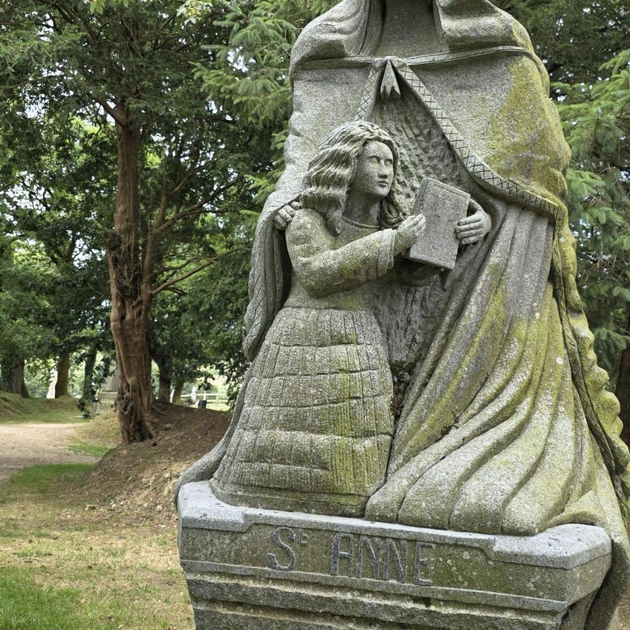
A very beautiful sandstone cross from the 17th century.
1
0

Very friendly and suitable for everyone
0
0

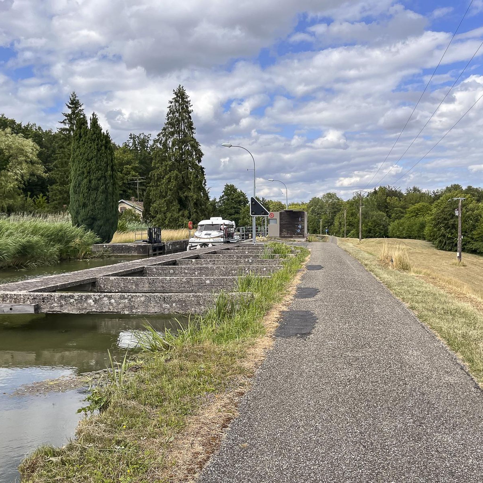
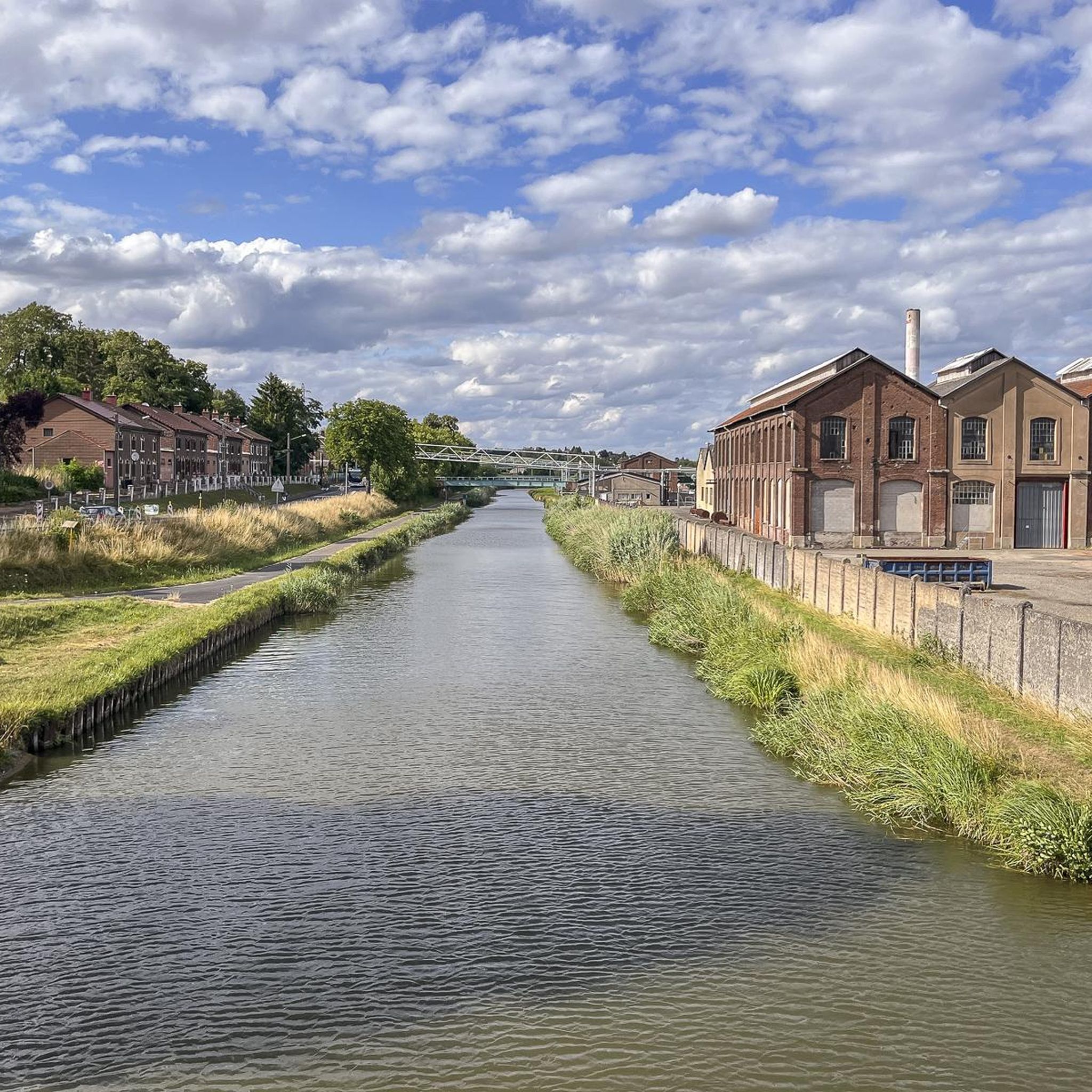
Great cycle path along the Saar Canal.
2
0
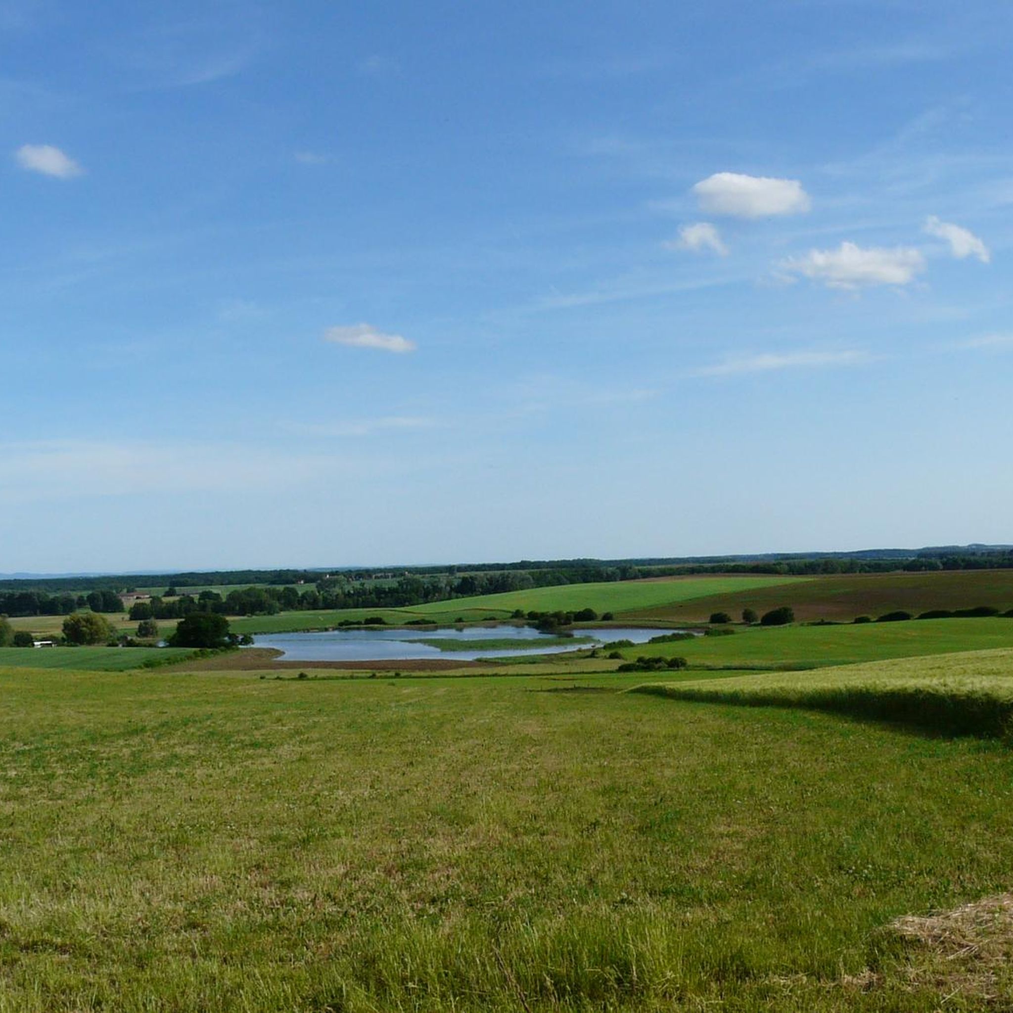
One of the many lakes in this region. Great surroundings!
2
0
Frequently Asked Questions
How many running routes are available in Geislingen?
Geislingen offers a wide selection of over 35 running routes. These include options for various skill levels, with 4 easy routes, 27 moderate routes, and 4 more challenging trails.
Are there easy running paths suitable for beginners in Geislingen?
Yes, Geislingen has 4 easy running routes perfect for beginners or those looking for a relaxed jog. These paths generally feature minimal elevation changes, making them accessible for all fitness levels.
What kind of terrain can I expect on jogging routes around Geislingen?
The jogging routes in Geislingen are characterized by varied terrain, often featuring paths around ponds and canals. Many routes have minimal elevation changes, offering mostly flat sections with some gentle ascents and descents.
Are there any circular running routes in Geislingen?
Many of the running routes in Geislingen are designed as loops, providing convenient circular paths. For example, the View of Insming – 17th Century Calvary loop from Givrycourt and the Grand Pond of Mittersheim loop from Mittersheim are popular circular options.
What are some notable natural features or landmarks I can see while running in Geislingen?
While running in Geislingen, you can enjoy several natural and man-made features. Many routes pass by the beautiful Grand Pond of Mittersheim or follow sections of the Cycle Path Along the Canal de la Sarre. You might also spot historic structures like the Lock House on the Canal des Houillères de la Sarre.
Are there any running routes that offer open views or scenic points?
Yes, some routes provide open views, especially those that circle larger bodies of water. The Grand Pond of Mittersheim loop from Mittersheim, for instance, offers expansive open views across the pond.
What do other runners say about the trails in Geislingen?
The running routes in Geislingen are highly regarded by the komoot community, holding an average rating of 4.25 stars from over 3 reviews. Runners often appreciate the varied terrain, the proximity to water features, and the options for different ability levels.
Are there any running routes where I can find a cafe nearby?
Yes, for a post-run refreshment, consider the Port Café loop from Mittersheim. This route is conveniently located near the Port Café, offering a perfect stop after your run.
What is the typical length and duration of running routes in Geislingen?
Running routes in Geislingen vary in length. You can find shorter loops like the La Cornée Sombre – Ersteneck loop from Mittersheim, which is 5.4 miles (8.7 km) and takes about 1 hour. Longer options, such as the Canal next to the campsite – Canal bridge loop from Restaurant du Pont Neuf, extend to 13 miles (21 km).
Is Geislingen a good place for winter jogging?
Given the region's characteristic minimal elevation changes, many routes in Geislingen could be suitable for winter jogging, provided conditions are safe and paths are clear. The flat sections around ponds and canals might be less challenging in snowy or icy conditions compared to hilly terrain.
Are there any running routes that follow canals?
Yes, several routes in Geislingen feature canals. The Canal next to the campsite – Canal bridge loop from Restaurant du Pont Neuf is a prime example, offering a longer run alongside the canal. You can also find sections of the Cycle Path Along the Canal de la Sarre integrated into various running paths.
Most popular attractions around Geinslingen

Get inspired with the komoot mobile app


Explore more
Browse the best Running Trails & Routes in other regions.
