The best MTB trails around Geinslingen
4.6
(25)
74
riders
20
rides
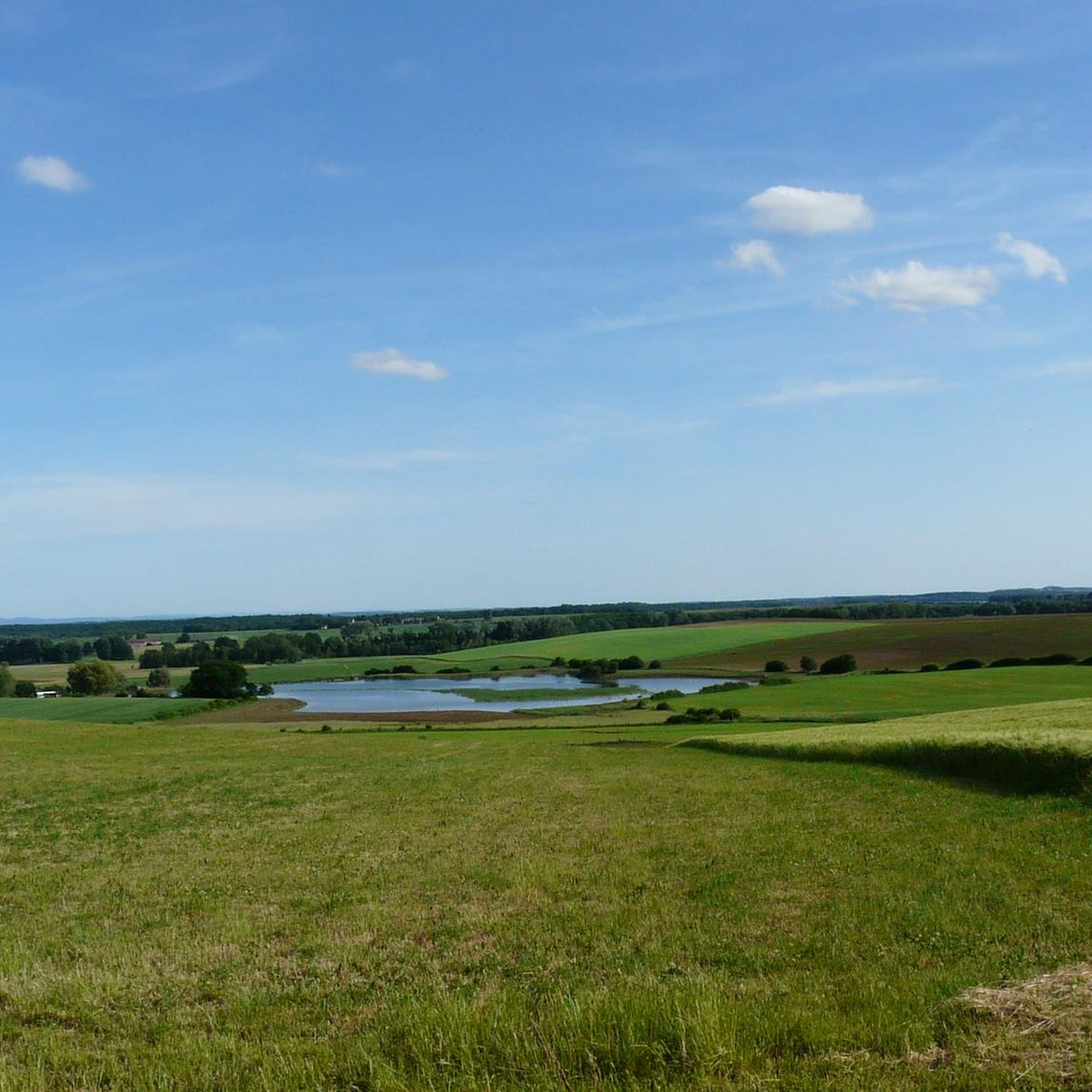
Mountain biking around Geinslingen offers a network of trails primarily characterized by gentle terrain and scenic water bodies. The region features a mix of open countryside and forested areas, with routes often circling large ponds like the Étang du Stock. Elevation changes are generally modest, making the area suitable for various skill levels.
Best mountain bike trails around Geinslingen
- The most popular mountain bike trail is Crossing the small pond – Étang du Stock loop from Mittersheim, a 40.5…
Last updated: October 8, 2026
5.0
(7)
13
riders
27.8km
01:25
80m
80m
Easy mountain bike ride. Great for any fitness level. Suitable for all skill levels.
4.8
(6)
23
riders
54.0km
02:44
120m
120m
Moderate mountain bike ride. Good fitness required. Suitable for all skill levels.

5.0
(2)
2
riders
22.0km
01:26
120m
120m
Easy mountain bike ride. Great for any fitness level. Suitable for all skill levels.
4
riders
17.2km
01:08
80m
80m
Easy mountain bike ride. Great for any fitness level. Suitable for all skill levels.
5.0
(1)
4
riders
12.4km
00:55
70m
70m
Easy mountain bike ride. Great for any fitness level. Suitable for all skill levels.
Get access to more routes and recommendations from other explorers.
Already have an account?
Our route recommendations are based on thousands of hikes, rides, and runs completed by other people on komoot.
Start today with a free account
Your next adventure awaits.


Tips from the Community


You encounter the Maginot Line's bunkers along the entire route to Basel. All bunkers are oriented to the east and were intended to be a defensive line against the Germans.
0
0

Water great although it is too warm. No blue algae yet.
0
0

Cozy, friendly, good 👌
0
0
Friendly service is provided here, and snacks and drinks are available.
0
0

When I passed the ordeal was no longer there 🤷🏻♀️
1
0

A very beautiful sandstone cross from the 17th century.
1
0

Very friendly and suitable for everyone
0
0
Frequently Asked Questions
How many mountain bike trails are available in Geinslingen?
There are nearly 20 mountain bike trails around Geinslingen, offering a variety of options for different skill levels. The komoot community has explored these routes over 70 times.
What is the general difficulty level of mountain bike trails in Geinslingen?
The mountain bike trails in Geinslingen are primarily easy to moderate. There are 12 easy routes and 7 moderate routes, with no difficult trails, making the area accessible for a wide range of riders.
Are there mountain bike trails suitable for beginners in Geinslingen?
Yes, Geinslingen offers several easy mountain bike trails perfect for beginners. An excellent option is the Grand Pond of Mittersheim – Étang du Stock loop from Mittersheim, an easy 17.3-mile (27.8 km) path that provides a relaxed ride through the scenic landscape.
Are there challenging mountain bike trails for advanced riders in Geinslingen?
The trails in Geinslingen are generally characterized by gentle terrain and modest elevation changes, with no routes officially classified as 'difficult'. However, experienced riders looking for a longer, more demanding ride might enjoy the Crossing the small pond – Étang du Stock loop from Mittersheim, which is a moderate 40.5-mile (65.2 km) trail with nearly 280 meters of elevation gain.
What kind of scenery can I expect on mountain bike trails in Geinslingen?
The trails in Geinslingen offer a mix of open countryside and forested areas, with many routes circling large ponds like the Étang du Stock. You'll find extensive views around the water and peaceful rides through rural scenery.
Are there any circular mountain bike routes in Geinslingen?
Yes, many of the mountain bike routes in Geinslingen are circular, allowing you to start and end at the same point. Examples include the Cycle path through the countryside loop from Mittersheim and the Mountainbike loop from Mittersheim.
What are some notable attractions or landmarks along the mountain bike trails?
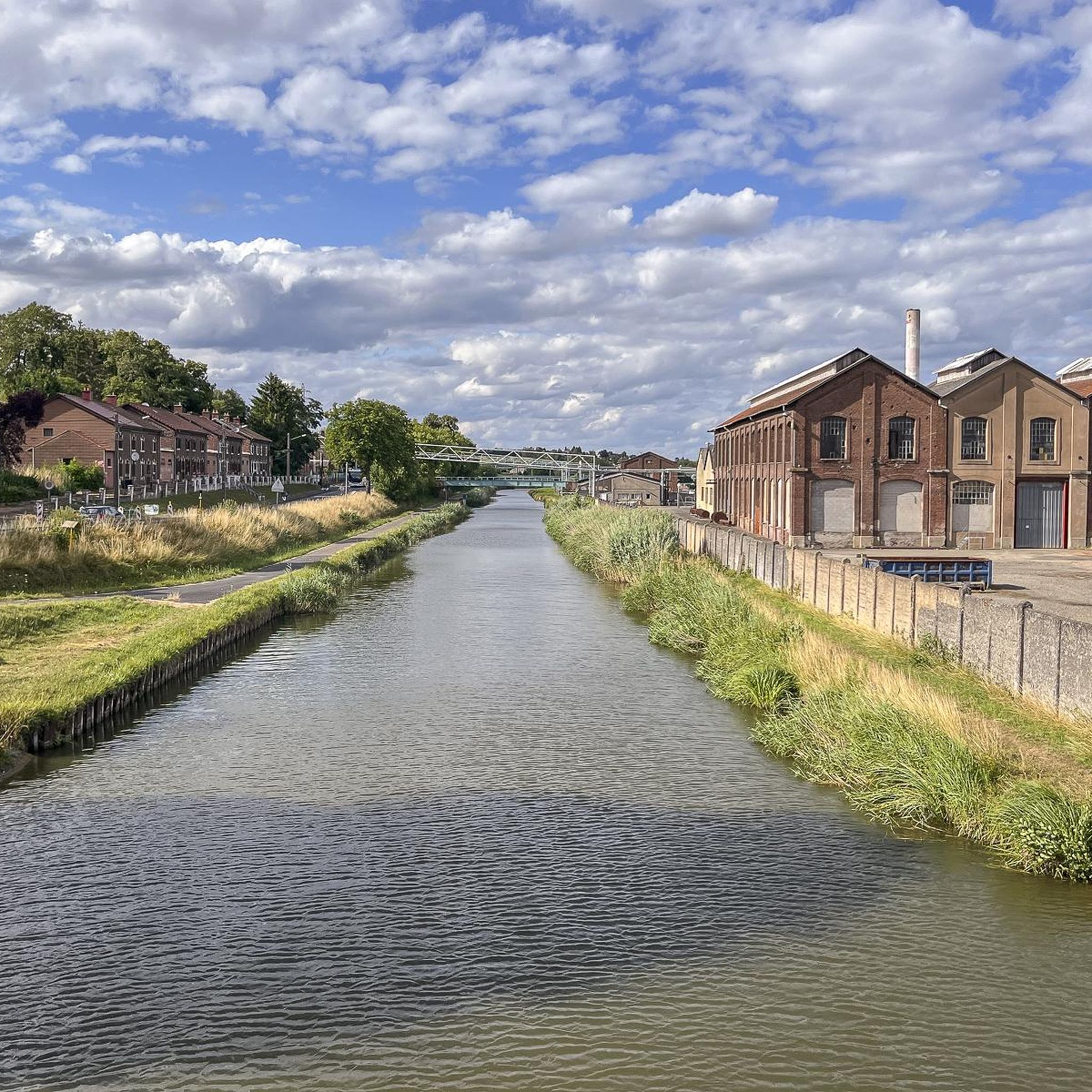
While riding, you can explore several interesting points. The Grand Pond of Mittersheim is a central feature, and you might also encounter sections of the Cycle Path Along the Canal de la Sarre, offering unique views of the waterway and its lock houses, such as Lock House on the Canal des Houillères de la Sarre.
What do other mountain bikers enjoy most about the trails in Geinslingen?
The mountain bike trails in Geinslingen are highly rated by the komoot community, with an average score of 4.5 stars. Reviewers often praise the scenic routes around the large ponds, the gentle terrain suitable for various skill levels, and the peaceful atmosphere of the open countryside.
How long do mountain bike trails typically take to complete in Geinslingen?
Trail durations vary depending on the route and your pace. For instance, the Munster - Viewpoint loop from Mittersheim, an easy 17.2-mile (27.7 km) trail, typically takes around 1 hour 33 minutes. Longer routes, like the moderate 40.5-mile (65.2 km) Crossing the small pond – Étang du Stock loop from Mittersheim, can take over 3.5 hours.
Are there any trails that offer good viewpoints in Geinslingen?
While the region is generally flat, some routes offer pleasant scenic overlooks, particularly those that traverse open countryside or provide expansive views across the large ponds. The Munster - Viewpoint loop from Mittersheim is specifically named for its scenic vistas.
Most popular attractions around Geinslingen

Get inspired with the komoot mobile app


Explore more
Browse the best MTB trails in other regions.
