The best MTB trails around Aulnay-L'Aître
4.8
(20)
325
riders
26
rides
Mountain bike trails around Aulnay-L'Aître traverse a landscape characterized by gentle elevations and open countryside. The region features a mix of agricultural lands and scattered woodlands, providing varied terrain for cycling. Routes often follow canal paths and quiet rural roads, offering a consistent surface for mountain biking. The area's topography is generally flat to moderately rolling, suitable for a range of skill levels.
Best mountain bike trails around Aulnay-L'Aître
- The most popular mountain bike trail is Vitry-le-François Town Hall –…
Last updated: July 9, 2026
5.0
(4)
57
riders
49.8km
04:04
560m
560m
Moderate mountain bike ride. Good fitness required. Advanced riding skills necessary.
4.0
(3)
42
riders
Moderate mountain bike ride. Good fitness required. Suitable for all skill levels.

Sign up for free
5.0
(2)
39
riders
37.1km
02:14
100m
100m
Moderate mountain bike ride. Good fitness required. Suitable for all skill levels.
5.0
(2)
28
riders
29.9km
02:29
330m
330m
Moderate mountain bike ride. Good fitness required. Suitable for all skill levels.
20
riders
40.9km
02:54
280m
280m
Moderate mountain bike ride. Good fitness required. Suitable for all skill levels.
Get access to more routes and recommendations from other explorers.
Sign up for free
Already have an account?
Our route recommendations are based on thousands of hikes, rides, and runs completed by other people on komoot.
Start today with a free account
Your next adventure awaits.
Login or Signup
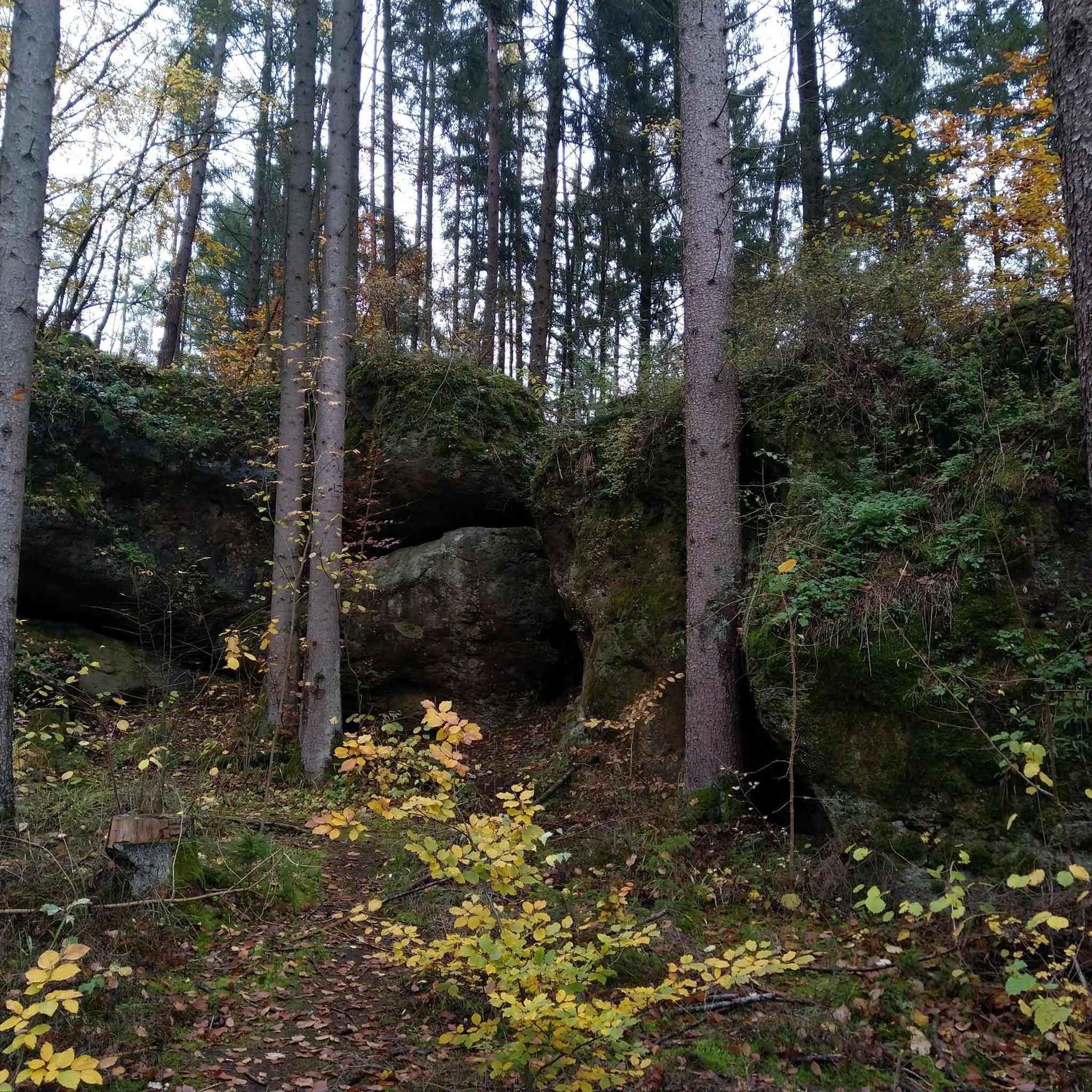

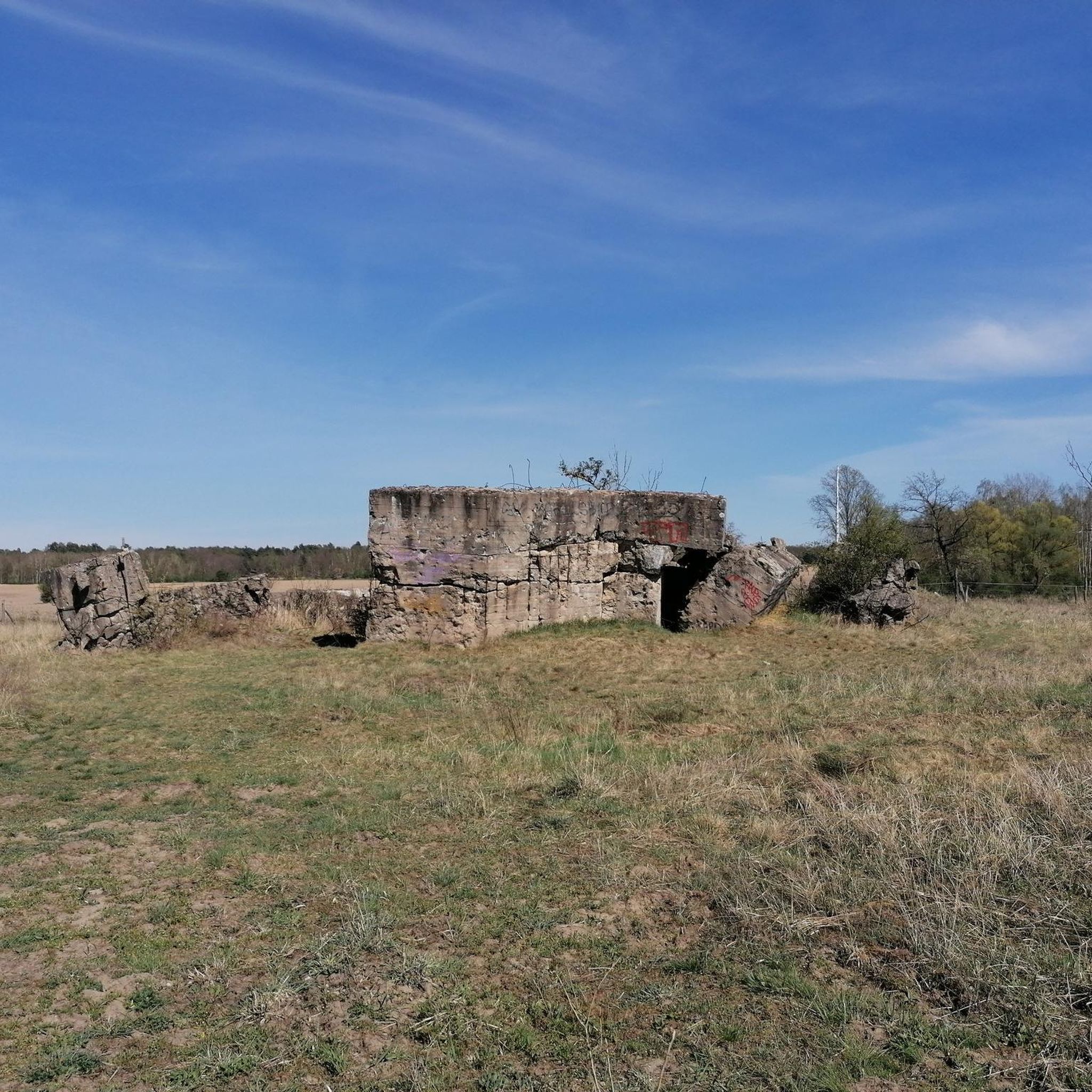
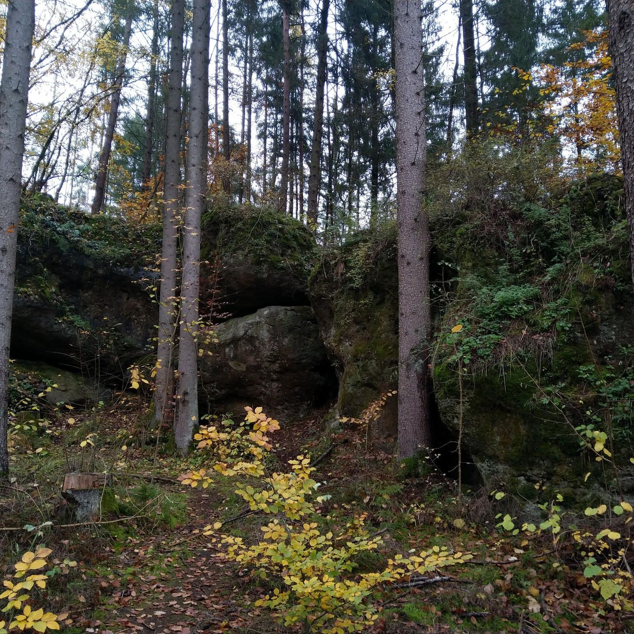
Tips from the Community


The route branches off before you reach this lock, but you can also continue along the road to the lock and then take the bridge over the canal to Chalons-sur-Champagne.
0
0


We really liked the city and the surrounding area. We enjoyed our cycling trip.
1
0
Very nice to ride a bike. There are several corners here that invite you to linger.
0
0
Very nice to ride a bike. There are several corners here that invite you to linger.
0
0
Frequently Asked Questions
What is the general difficulty level of mountain bike trails around Aulnay-L'Aître?
The mountain bike trails in Aulnay-L'Aître are generally suited for a range of skill levels, with a focus on easy to moderate routes. There are 10 easy trails and 16 moderate trails available, making the area accessible for both beginners and those looking for a steady ride.
Are there any family-friendly mountain bike routes in Aulnay-L'Aître?
Yes, the region's generally flat to moderately rolling topography, combined with canal paths and quiet rural roads, makes it suitable for family outings. Many of the 10 easy routes are ideal for families. For example, the Collégiale Notre-Dame-en-Vaux – Chepy Picnic Area loop from Saint-Martin-aux-Champs offers a relatively flat profile through the countryside.
What kind of terrain can I expect on mountain bike trails in Aulnay-L'Aître?
You can expect a varied landscape characterized by gentle elevations, agricultural lands, and scattered woodlands. Routes often follow canal paths and quiet rural roads, providing consistent surfaces. The area is generally flat to moderately rolling, offering a mix of open countryside and small wooded sections.
Are there any circular mountain bike routes in the Aulnay-L'Aître area?
Yes, many of the mountain bike routes around Aulnay-L'Aître are designed as loops. For instance, you can try the Vitry-le-François Town Hall – Mont de Fourche loop from Loisy-sur-Marne, which is a 31.1-mile (49.9 km) moderate trail, or the Mount de Fourche – Mont de Fourche loop from Couvrot, a 28.2-mile (28.2 km) moderate option.
What is the best time of year for mountain biking in Aulnay-L'Aître?
The region is generally pleasant for mountain biking from spring through autumn. The mild climate and varied terrain are enjoyable in warmer months. While winter riding is possible, conditions can be damp, especially on canal paths and unpaved sections, so checking local weather and trail conditions is advisable.
What do other mountain bikers enjoy most about the trails in Aulnay-L'Aître?
The area is highly rated by the komoot community, with an average score of 4.8 stars from 16 reviews. Reviewers often praise the well-maintained canal-side paths, the peaceful agricultural landscapes, and the accessibility of routes for various skill levels.
Are there any points of interest or attractions along the mountain bike trails?
Yes, the routes often pass by interesting local features. You might encounter the Place d'Armes of Vitry-le-François, or ride along the scenic Cycle path along the Canal latéral à la Marne. Other notable sights include the Porte du Pont, Châlons-en-Champagne, and the Canal aqueduct over the Marne.
What is the typical duration for mountain bike trails in this area?
Trail durations vary depending on the route and your pace. For example, the Chepy Picnic Area – Canal view loop from Pogny, a 23.1-mile (37.1 km) moderate trail, typically takes about 2 hours 9 minutes. Longer routes, like the Bike path loop from Loisy-sur-Marne (40.9 km), can take around 2 hours 54 minutes.
Are there options for advanced mountain bikers in Aulnay-L'Aître?
While the region is primarily known for its easy to moderate trails, offering 16 moderate routes, there are no trails specifically graded as 'difficult' in the immediate vicinity. Advanced riders might find the longer moderate routes, such as the Vitry-le-François Town Hall – Mont de Fourche loop from Loisy-sur-Marne with its 569m elevation gain, offer a good workout, but the technical challenge is generally low.
What are the trail conditions like for mountain biking in Aulnay-L'Aître?
Trail conditions are generally good, with routes often following well-maintained canal paths and quiet rural roads. The mix of agricultural lands and scattered woodlands means some sections may be unpaved. During wet periods, some dirt paths might become muddy, but overall, the surfaces are consistent and suitable for mountain biking.
Are there any cafes or places to stop for refreshments near the mountain bike trails?
While specific cafes directly on the trails are not detailed, the routes often pass through or near small villages and towns like Vitry-le-François. These locations typically offer opportunities for refreshments, allowing you to refuel during or after your ride.
Most popular routes around Aulnay-L'Aître
Most popular attractions around Aulnay-L'Aître

Get inspired with the komoot mobile app


Explore more
Browse the best MTB trails in other regions.
