The best road cycling routes around Ilonse
4.7
(20)
2,862
riders
27
rides
Road cycling routes around Ilonse are situated in the Alpes-Maritimes department, offering diverse landscapes within the Tinée valley and proximity to the Mercantour National Park. The region is characterized by significant elevation changes, numerous mountain passes, and well-documented routes on often little-travelled roads. Cyclists encounter challenging ascents with gradients up to 13%, winding through alpine meadows and dramatic mountainous terrain.
Best road cycling routes around Ilonse
- The most popular road cycling route is Col de la Couillole and Gorges du…
Last updated: July 13, 2026
4.0
(2)
172
riders
69.0km
04:37
2,310m
2,310m
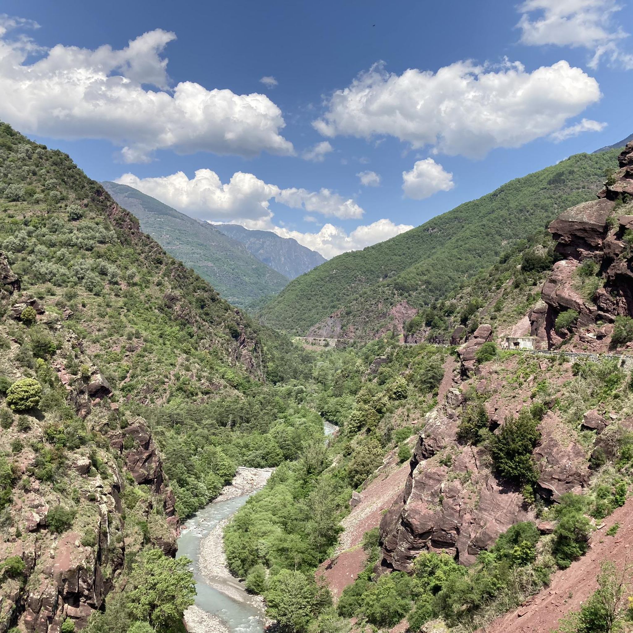
This difficult 42.9-mile road cycling loop tackles the challenging Col de la Couillole and the stunning red canyons of Gorges du Cians.
151
riders
88.0km
05:49
2,750m
2,750m
Hard road ride. Very good fitness required. Mostly well-paved surfaces and easy to ride.

Sign up for free
5.0
(1)
121
riders
69.7km
04:16
1,900m
1,900m
Hard road ride. Very good fitness required. Mostly well-paved surfaces and easy to ride.
163
riders
45.4km
02:59
1,430m
1,430m
Hard road ride. Very good fitness required. Mostly well-paved surfaces and easy to ride.
4.5
(2)
113
riders
46.4km
02:43
1,090m
1,090m
Hard road ride. Very good fitness required. Mostly well-paved surfaces and easy to ride.
Get access to more routes and recommendations from other explorers.
Sign up for free
Already have an account?
Our route recommendations are based on thousands of hikes, rides, and runs completed by other people on komoot.
Start today with a free account
Your next adventure awaits.
Login or Signup


Tips from the Community

Please note, I visited on October 12, 2025 and the fountain wasn't working! Perhaps it only works in the summer?
0
0

The Col de Sainte-Anne is a pass at an altitude of 425 meters in the French department of Bouches-du-Rhône.
0
1
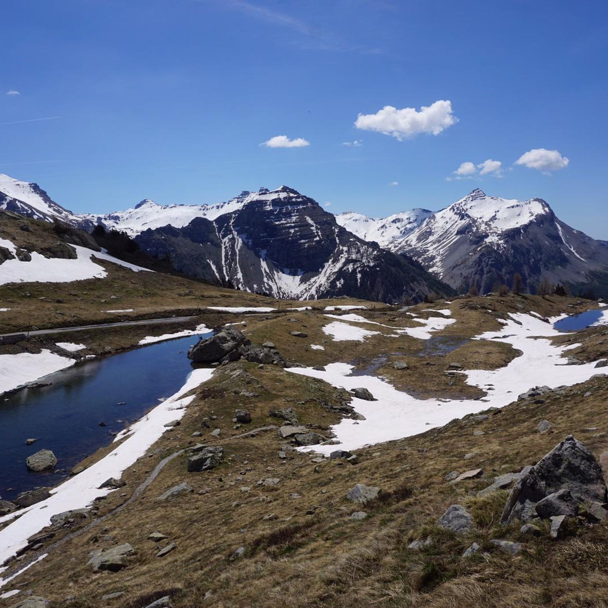
The Col de la Couillole is a mountain pass in the Massif du Mercantour-Argentera of the French Alps, situated at an altitude of 1,678 m (5,505 ft) in the Alpes-Maritimes department, France. The road connection is open for six to seven months of the year, allowing travel between the Cians gorges in the west and the Tinée valley in the east.
0
0
The Col Saint-Martin Pass, or Col de la Colmiane, is a mountain pass in the Southern Alps located at an altitude of 1,500 meters in the Alpes-Maritimes department of France. It provides a year-round road link between the Tinée Valley to the west and the Vésubie Valley to the east.
0
0
The Col de la Couillole is a mountain pass in the Massif du Mercantour-Argentera of the French Alps, situated at an altitude of 1,678 m (5,505 ft) in the Alpes-Maritimes department, France. The road connection is open for six to seven months of the year, allowing travel between the Cians gorges in the west and the Tinée valley in the east.
0
0
The Col Saint-Martin Pass, or Col de la Colmiane, is a mountain pass in the Southern Alps located at an altitude of 1,500 meters in the Alpes-Maritimes department of France. It provides a year-round road link between the Tinée Valley to the west and the Vésubie Valley to the east.
0
0
Col Saint Martin (el. 1500 m.) is a high mountain pass in the Alps in the department of Alpes-Maritimes in France.[1] It is traversed by the D-2205 highway.[2] The place has been crossed at the Tour de France road cycling race in 1973, 1975 and 2020, as well as at multiple editions of the Paris-Nice.
0
0

In July during the week there was almost no traffic, making it a completely relaxed drive up.
0
0
Frequently Asked Questions
How many road cycling routes are available around Ilonse?
There are over 30 road cycling routes around Ilonse, offering a variety of experiences. The majority, 23 routes, are classified as difficult, while 6 are moderate and 1 is easy, catering to different skill levels.
What kind of terrain can I expect on road cycling routes near Ilonse?
Road cycling routes around Ilonse are characterized by significant elevation changes and challenging ascents, with gradients reaching up to 13%. You'll navigate winding roads through the Tinée valley, alpine meadows, and dramatic mountainous terrain, often on little-travelled roads.
Are there any easier road cycling routes around Ilonse?
While Ilonse is known for its challenging terrain, there is at least one easy road cycling route available. Most routes, however, feature considerable ascents and are better suited for intermediate to advanced riders.
What are some challenging road cycling routes for experienced riders in Ilonse?
Experienced riders will find numerous challenging routes. For instance, the Col de la Couillole and Gorges du Cians Loop is a difficult 69 km route with over 2300 meters of elevation gain. Another demanding option is the Saint-Martin Pass (La Colmiane) – Saint-Martin-Vésubie loop from Rimplas, which covers 69.2 km and includes significant mountain pass navigation.
What scenic viewpoints or landmarks can I see while road cycling in Ilonse?
Many routes offer breathtaking views of the Tinée valley and the Mercantour mountains. You can also cycle past the Sanctuary of Madone d'Utelle, known for its 360° panorama. The medieval village of Ilonse itself features an orientation table at its highest point, helping identify the main peaks of the Alpes-Maritimes. Consider exploring highlights like the Panoramic View of the Tinée Valley.
Are there any gorges or natural monuments to explore near the cycling routes?
Yes, the region is rich in natural beauty. You can encounter the dramatic Gorges du Cians, which some routes pass through. Other natural highlights include the Lac Long and various mountain passes like Col de la Lombarde and Col de la Bonette, which are within a reasonable distance.
Are there circular road cycling routes available in Ilonse?
Yes, several circular road cycling routes are available. Examples include the Col de la Couillole (1,678 m) – Col de la Couillole loop from Marie and the Col de la Couillole – Ascent to Col de la Couillole loop from Roubion. The region also features official FFC (French Cycling Federation) circuits like the 'Tour of the 2 valleys' and 'The loop of the Col de la Sine'.
What is the best time of year for road cycling in Ilonse?
The diverse landscapes and mountain passes suggest that late spring to early autumn (roughly May to October) would be ideal for road cycling in Ilonse, offering pleasant temperatures and clear roads. Winter conditions, especially at higher elevations, can make many routes inaccessible due to snow and ice.
Where can I find parking for road cycling routes in Ilonse?
While specific parking locations for each route are not detailed, Ilonse is a village that serves as a starting point for many routes. It's advisable to check local signage or inquire in the village for designated parking areas suitable for cyclists, especially near the start of popular FFC circuits.
Are there cafes or places to stop for refreshments along the road cycling routes?
Ilonse is a medieval village, and while specific cafes on routes are not listed, it's a good practice to start and end your ride there, where you might find local establishments. Given the challenging nature and often little-travelled roads, it's recommended to carry sufficient water and snacks, especially on longer routes.
What do other cyclists say about road cycling in Ilonse?
The road cycling routes around Ilonse are highly rated by the komoot community, with an average score of 4.8 stars from over 19 reviews. Cyclists often praise the challenging mountain passes, the scenic Tinée valley, and the stunning views of the Mercantour mountains.
Is public transport available to access road cycling routes in Ilonse?
Information on specific public transport links directly to road cycling route starting points in Ilonse is limited. Given its location in the Alpes-Maritimes, it's best to plan your journey by car or check regional bus services for connections to Ilonse, keeping in mind that many routes start directly from the village or nearby towns.
Most popular attractions around Ilonse

Get inspired with the komoot mobile app


Explore more
Browse the best Road cycling routes in other regions.
