The best cycling routes around Vaumeilh
4.4
(262)
3,191
riders
163
rides
Touring cycling around Vaumeilh features routes that navigate through varied terrain, including river valleys, agricultural lands, and lower mountain passes. The region is characterized by its blend of open landscapes and historical points of interest, with elevations that range from gentle ascents to more challenging climbs. Cyclists can expect to encounter a mix of paved roads and quieter country lanes, often following natural features like the Sasse river or local canals.
Best touring cycling routes around Vaumeilh
- The most popular…
Last updated: October 12, 2026
4.5
(4)
99
riders
65.6km
04:19
970m
970m
Hard bike ride. Very good fitness required. Mostly paved surfaces. Suitable for all skill levels.
5.0
(3)
45
riders
63.6km
04:05
850m
850m
Hard bike ride. Very good fitness required. Mostly paved surfaces. Suitable for all skill levels.

5.0
(1)
27
riders
75.9km
05:10
1,320m
1,320m
Hard bike ride. Very good fitness required. Mostly paved surfaces. Suitable for all skill levels.
3.6
(5)
16
riders
34.5km
02:09
270m
270m
Moderate bike ride. Good fitness required. Mostly paved surfaces. Suitable for all skill levels.
5.0
(1)
6
riders
25.6km
01:47
460m
460m
Hard bike ride. Very good fitness required. Mostly paved surfaces. Suitable for all skill levels.
Get access to more routes and recommendations from other explorers.
Already have an account?
Our route recommendations are based on thousands of hikes, rides, and runs completed by other people on komoot.
Start today with a free account
Your next adventure awaits.

Tips from the Community

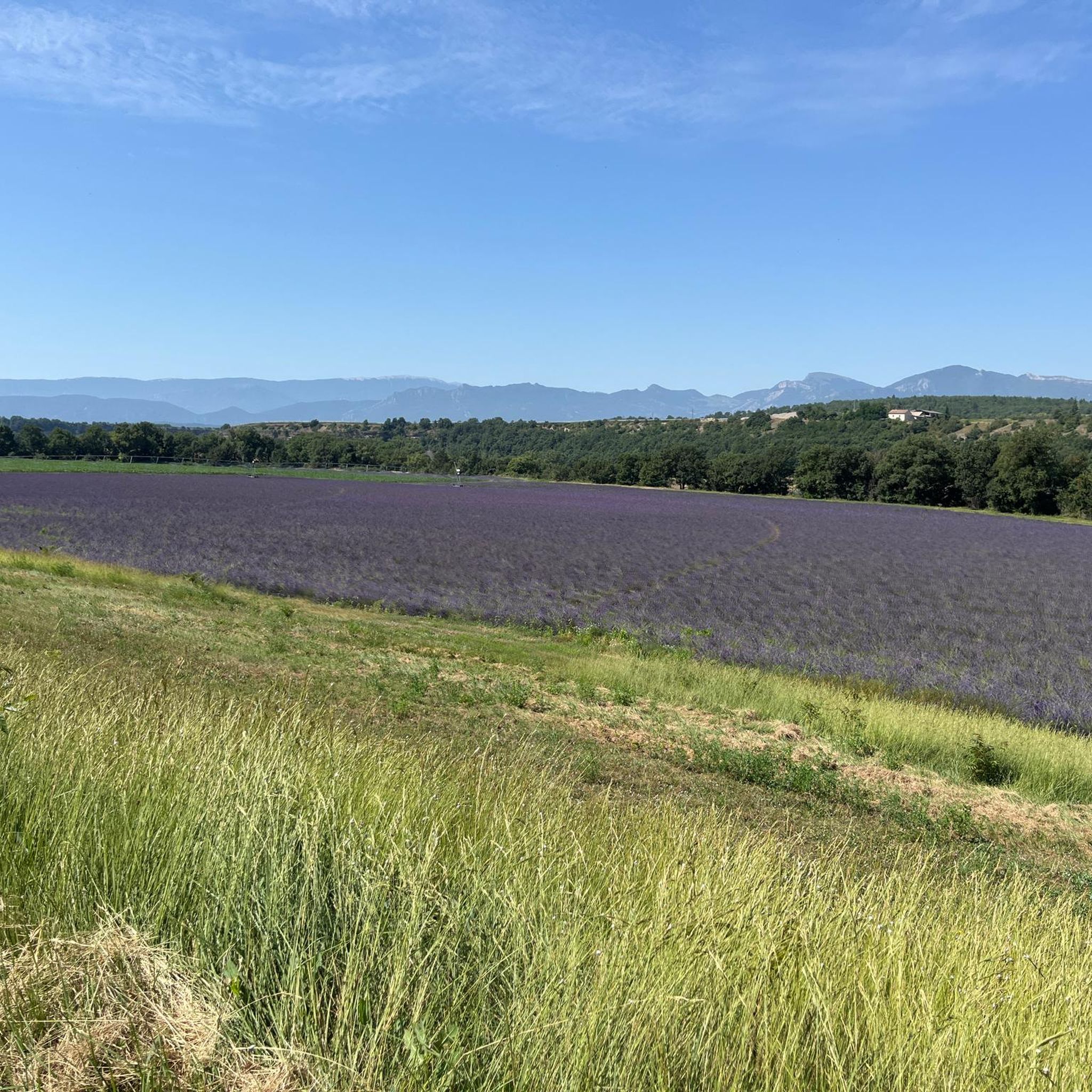
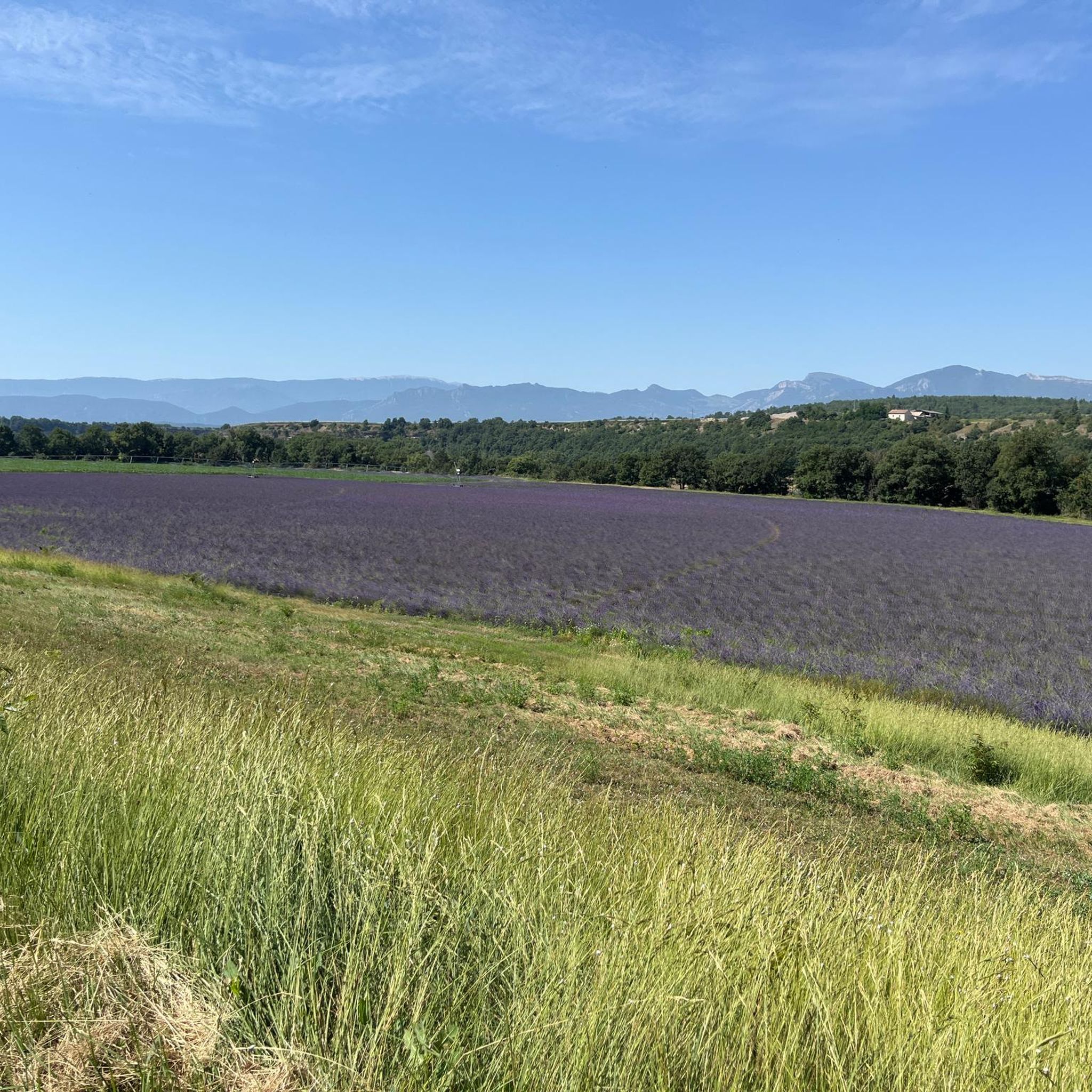
The Col de Faye is a mountain pass in the Southern Alps, located in the department of Hautes-Alpes at an altitude of approximately 922 to 924 meters. It connects the Buëch valley to the Durance valley — between the municipalities of Savournon and Ventavon — via the departmental road D21.
18
0
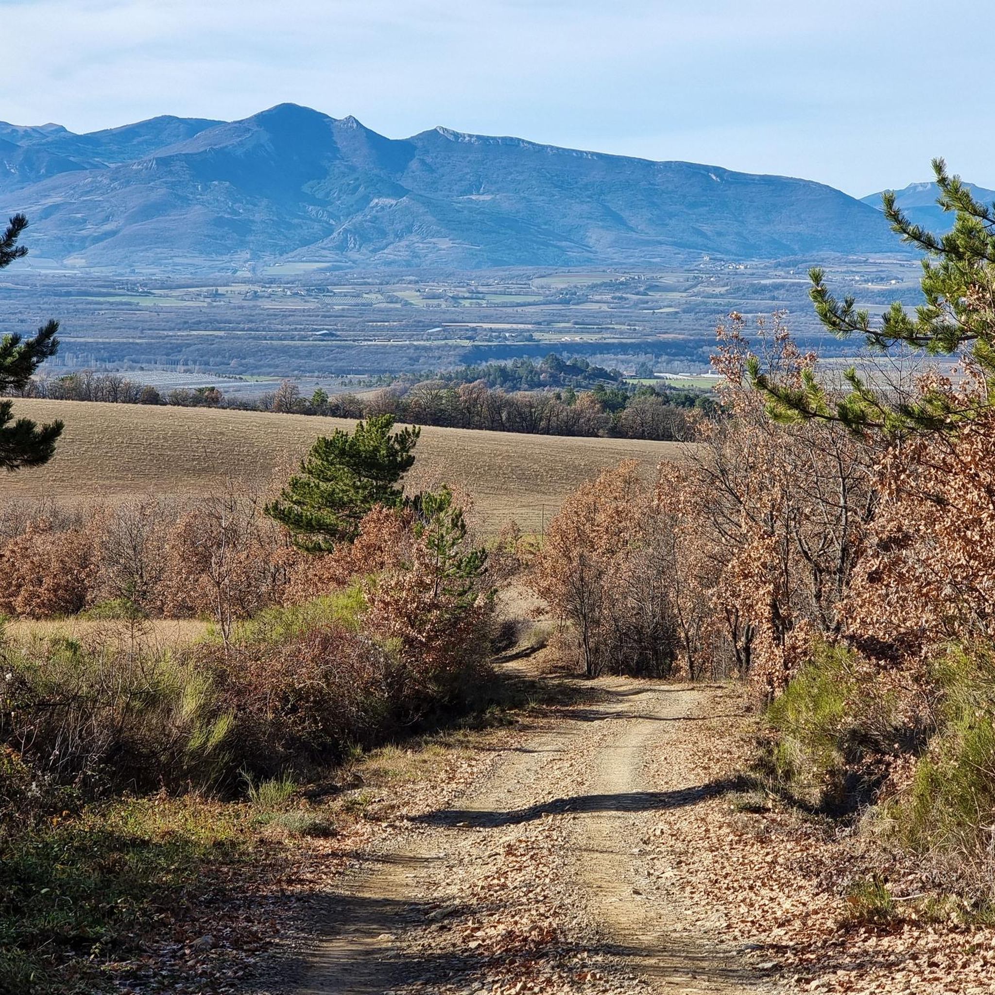
Secondary road off the traffic.
14
0
Here you can enjoy a wonderful view.
14
0

impressive from below. The tunnel, however, hides part of the view
0
0

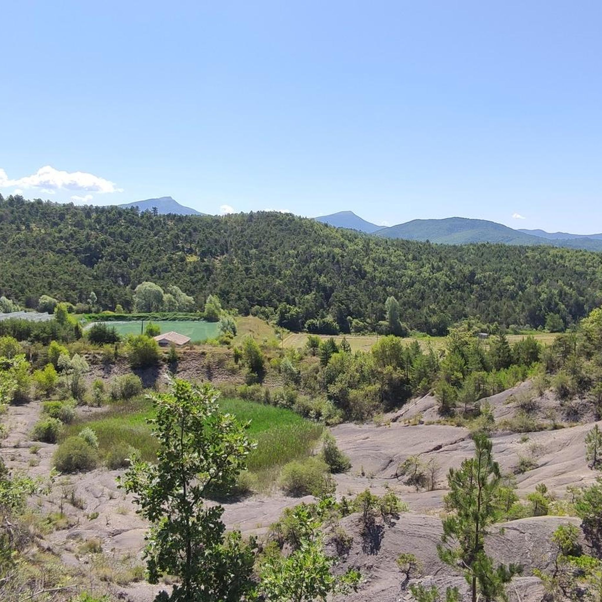
A piece of ancient history awaits you here
0
0

Very nice town for a visit and a coffee break.
0
0


Not the most beautiful highlight. But the drive there is definitely worth it! Especially if you're coming from the south. For campers at Le Clot du Jay: highly recommended!
0
0
Frequently Asked Questions
How many touring cycling routes are available around Vaumeilh?
There are over 170 touring cycling routes around Vaumeilh, offering a wide range of options for different skill levels and preferences. The komoot community has explored more than 3000 touring cycling tours in this region.
What are the typical difficulty levels for touring cycling routes in Vaumeilh?
The routes around Vaumeilh cater to various abilities. You'll find 14 easy routes, 59 moderate routes, and 98 difficult routes. This variety ensures options for both casual riders and those seeking a more challenging experience.
Are there circular touring cycling routes around Vaumeilh?
Yes, many touring cycling routes in Vaumeilh are designed as loops. For example, the The Sasse – Petrifying Waterfall loop from Valernes is a popular circular route, as is the Faye Pass – View of the Valley Basin loop from Le Poët.
What kind of terrain can I expect on touring cycling routes in Vaumeilh?
Vaumeilh's touring cycling routes navigate through varied terrain, including river valleys, agricultural lands, and lower mountain passes. You'll encounter a mix of paved roads and quieter country lanes, often following natural features like the Sasse river or local canals.
Are there any family-friendly touring cycling routes in Vaumeilh?
While many routes involve some elevation, there are easier options suitable for families. Look for routes categorized as 'easy' or 'moderate' with shorter distances. The region's quiet country lanes can be pleasant for a family outing, but always check the route profile for elevation and road conditions.
What can I see along the touring cycling routes around Vaumeilh?
The routes often pass by historical sites and natural landmarks. You can explore areas near the Gorges de la Méouge, or enjoy views of Sisteron and the Rocher de la Baume. The Sisteron Citadel – La Baume Rock loop from Valernes - Robin pépinières specifically leads through historical sites.
When is the best time of year for touring cycling in Vaumeilh?
The spring and autumn months generally offer the most pleasant conditions for touring cycling in Vaumeilh, with milder temperatures and less extreme weather. Summer can be warm, especially in the valleys, so early morning rides are recommended. Winters can be cold, with some routes potentially affected by snow or ice at higher elevations.
Are there challenging touring cycling routes for experienced riders?
Yes, Vaumeilh offers several challenging routes. The The Sasse – Petrifying Waterfall loop from Valernes, for instance, is a difficult 40.7-mile route with significant elevation gain. Another demanding option is the Faye Pass – View of the Valley Basin loop from Le Poët, which features expansive views after a substantial ascent.
What are some less-known touring cycling routes worth exploring in Vaumeilh?
For a route that combines natural features and a moderate challenge, consider the Along the EDF Canal – Bridge Over the Canal loop from Le Poët. This 41.8-mile route offers a different perspective of the region's waterways and takes about 4 hours 30 minutes to complete.
What do other touring cyclists enjoy the most about touring cycling in Vaumeilh?
The area is highly rated by the komoot community, with an average score of 4.5 stars from over 190 reviews. Reviewers often praise the varied terrain, the blend of open landscapes and historical points of interest, and the scenic river valleys and passes.
Are there any routes that follow rivers or canals?
Yes, many routes in Vaumeilh follow natural features like the Sasse river or local canals. The The Sasse loop from Valernes is a good example, offering a moderate 20.5-mile ride along the Sasse river.
Most popular attractions around Vaumeilh

Get inspired with the komoot mobile app


Explore more
Browse the best Cycling routes in other regions.
